Alle 202 Brücken zum Unterfliegen in GTA 6
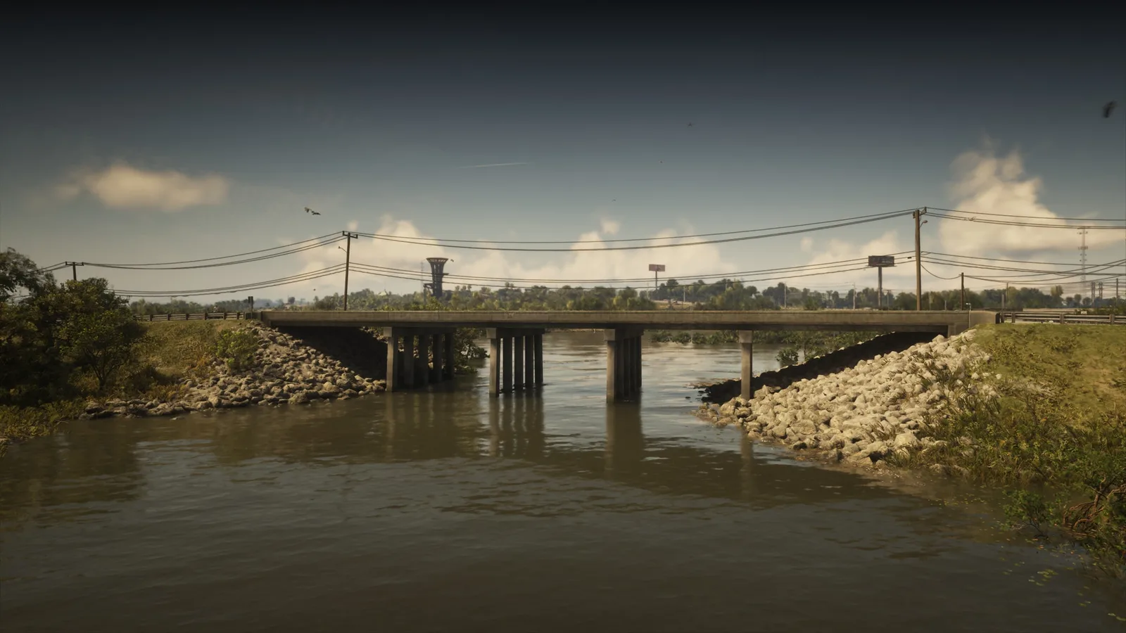
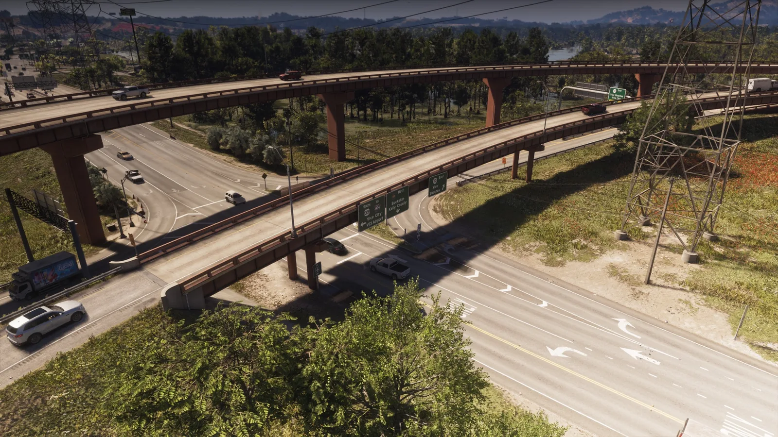
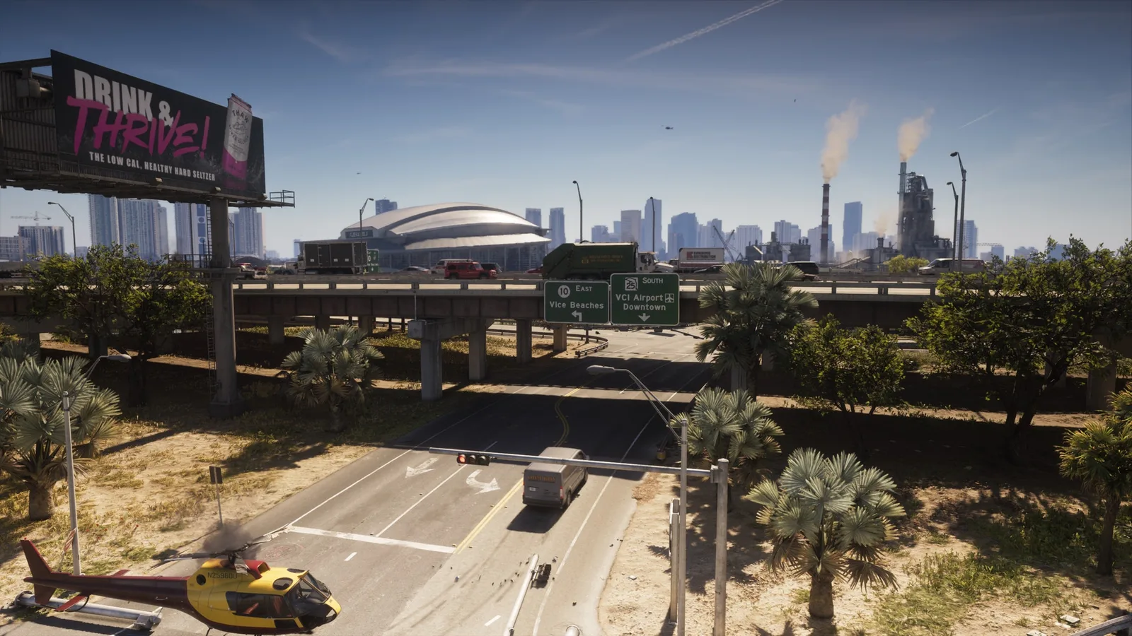
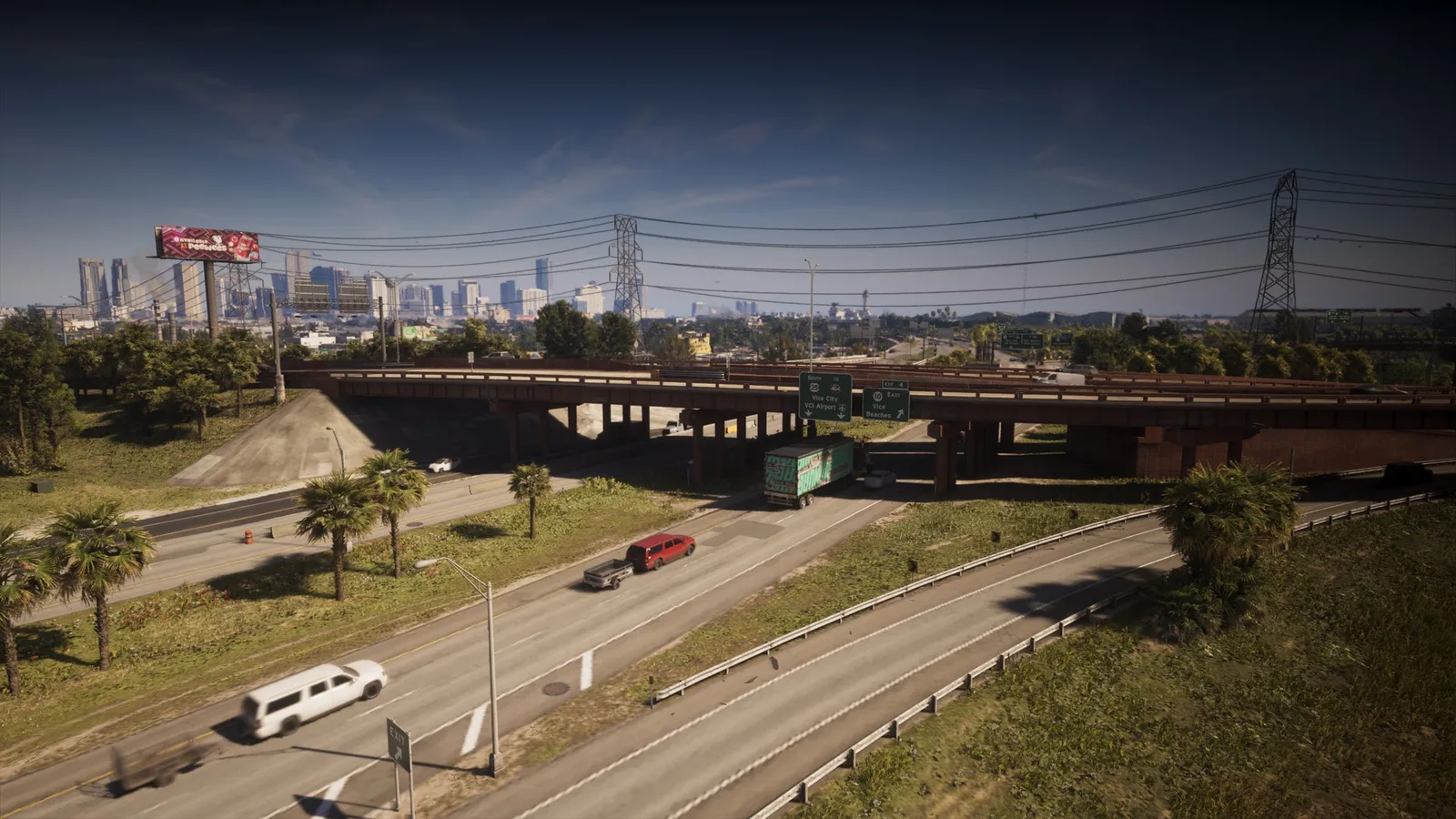
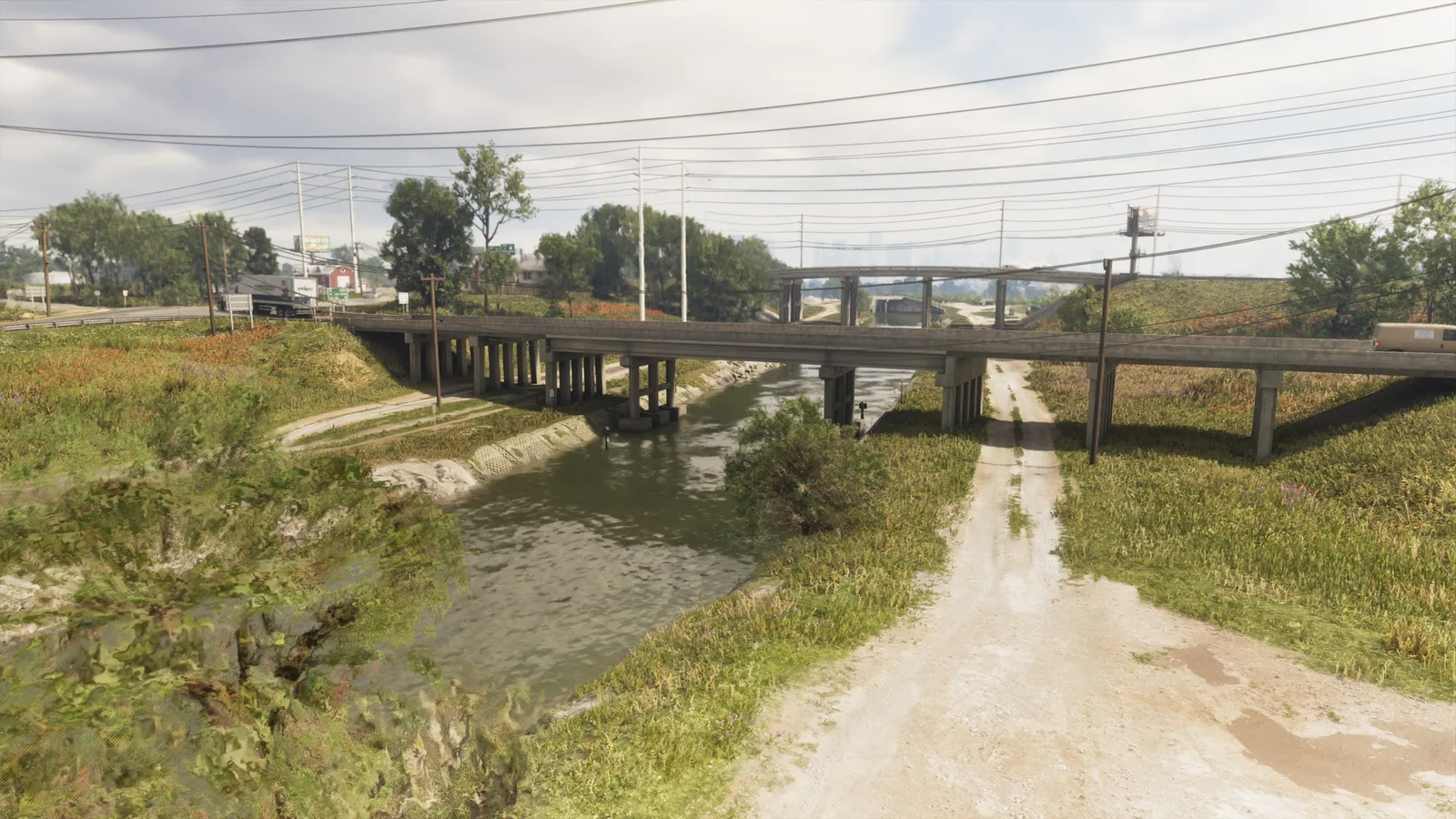
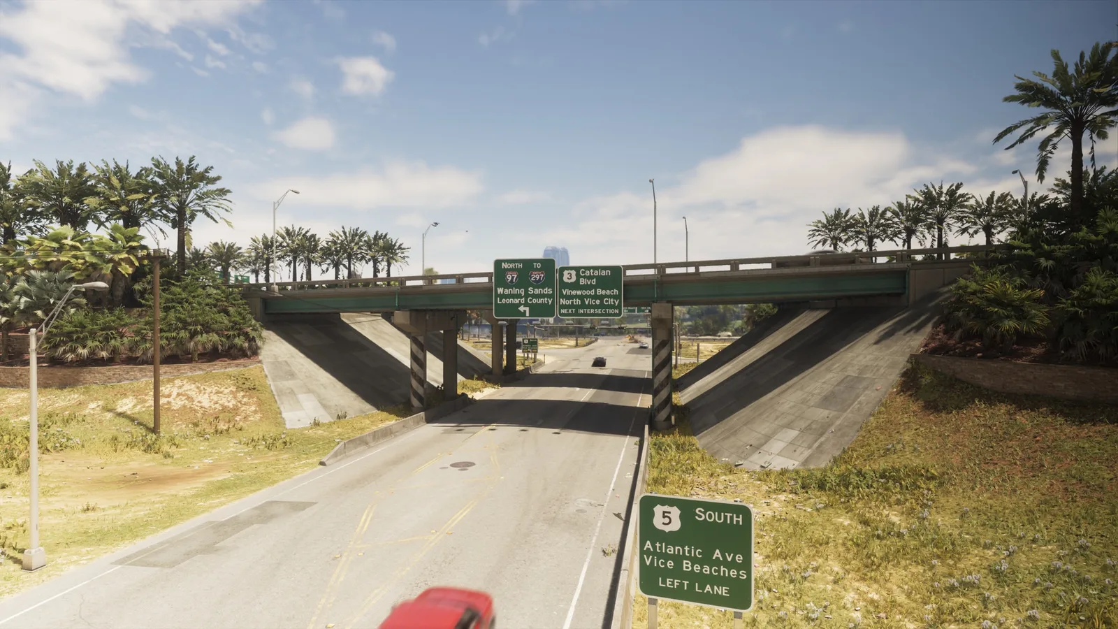
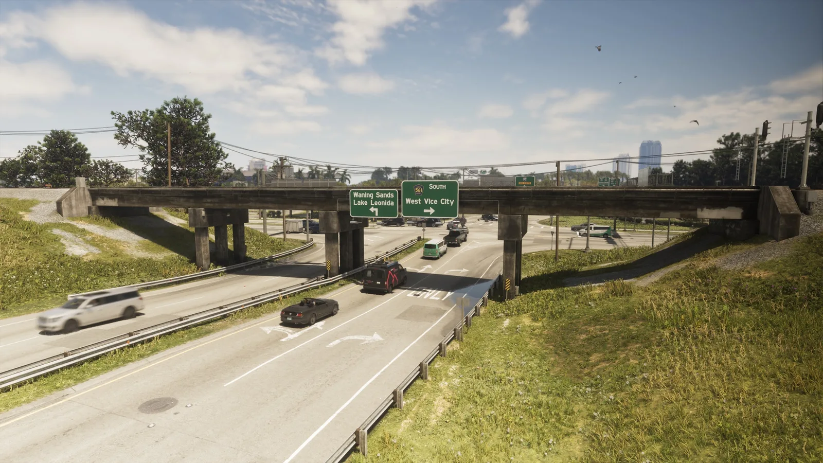
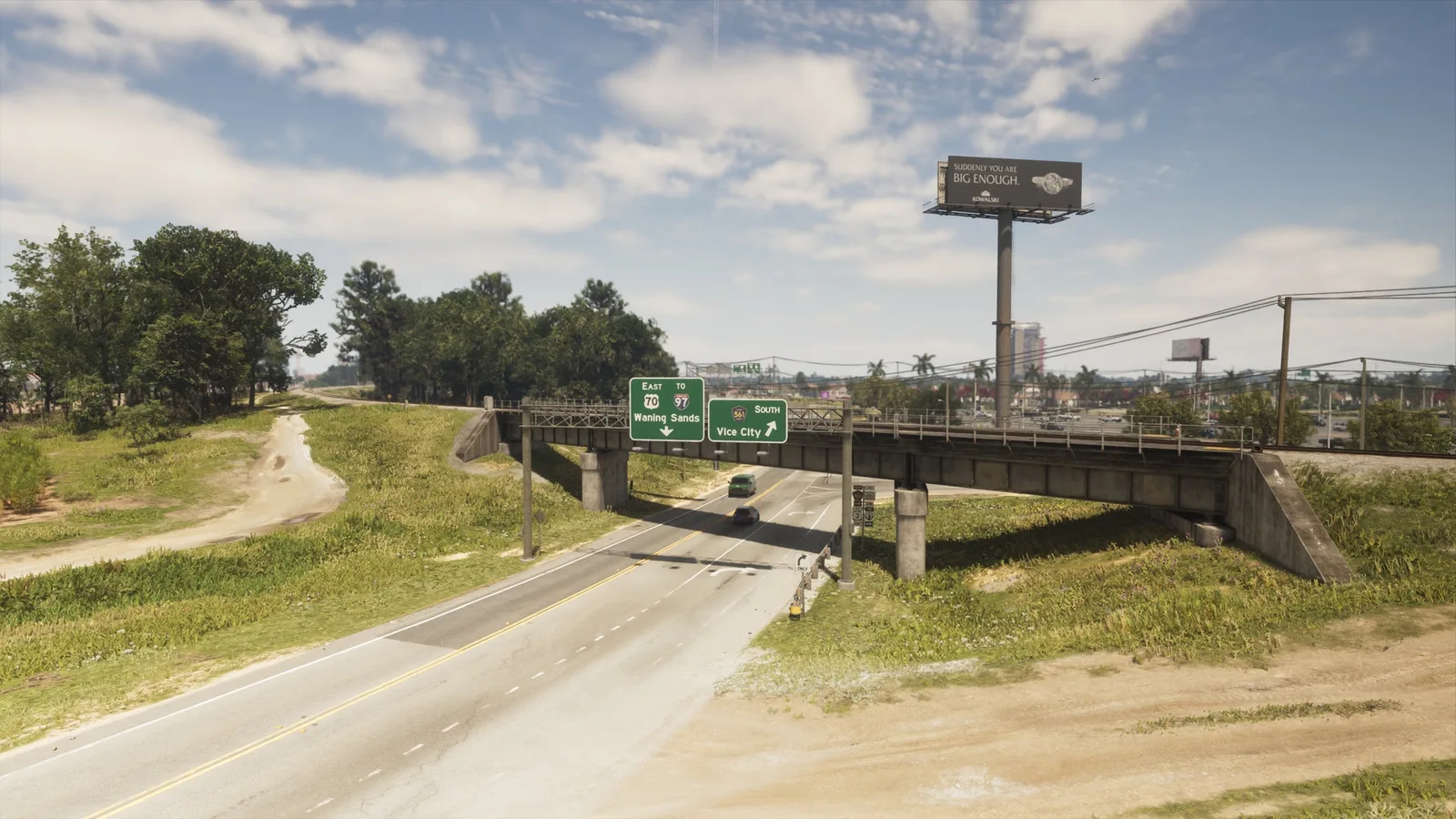
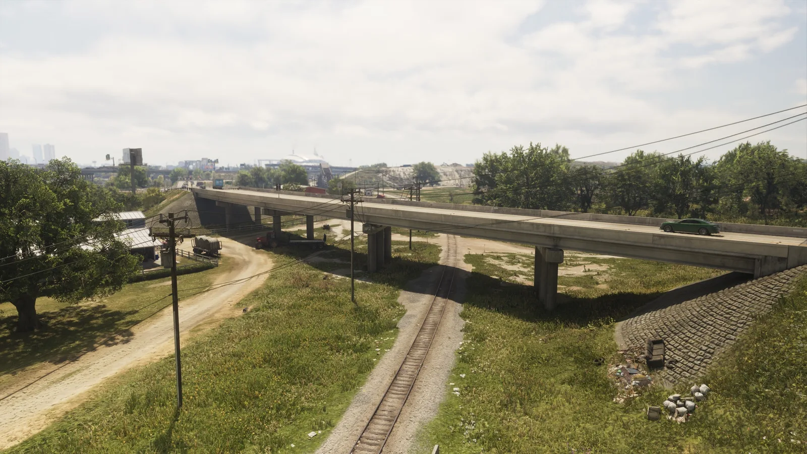
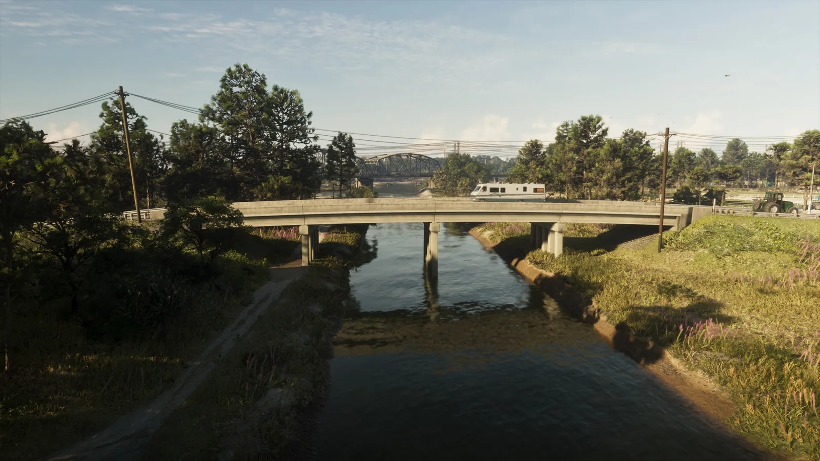
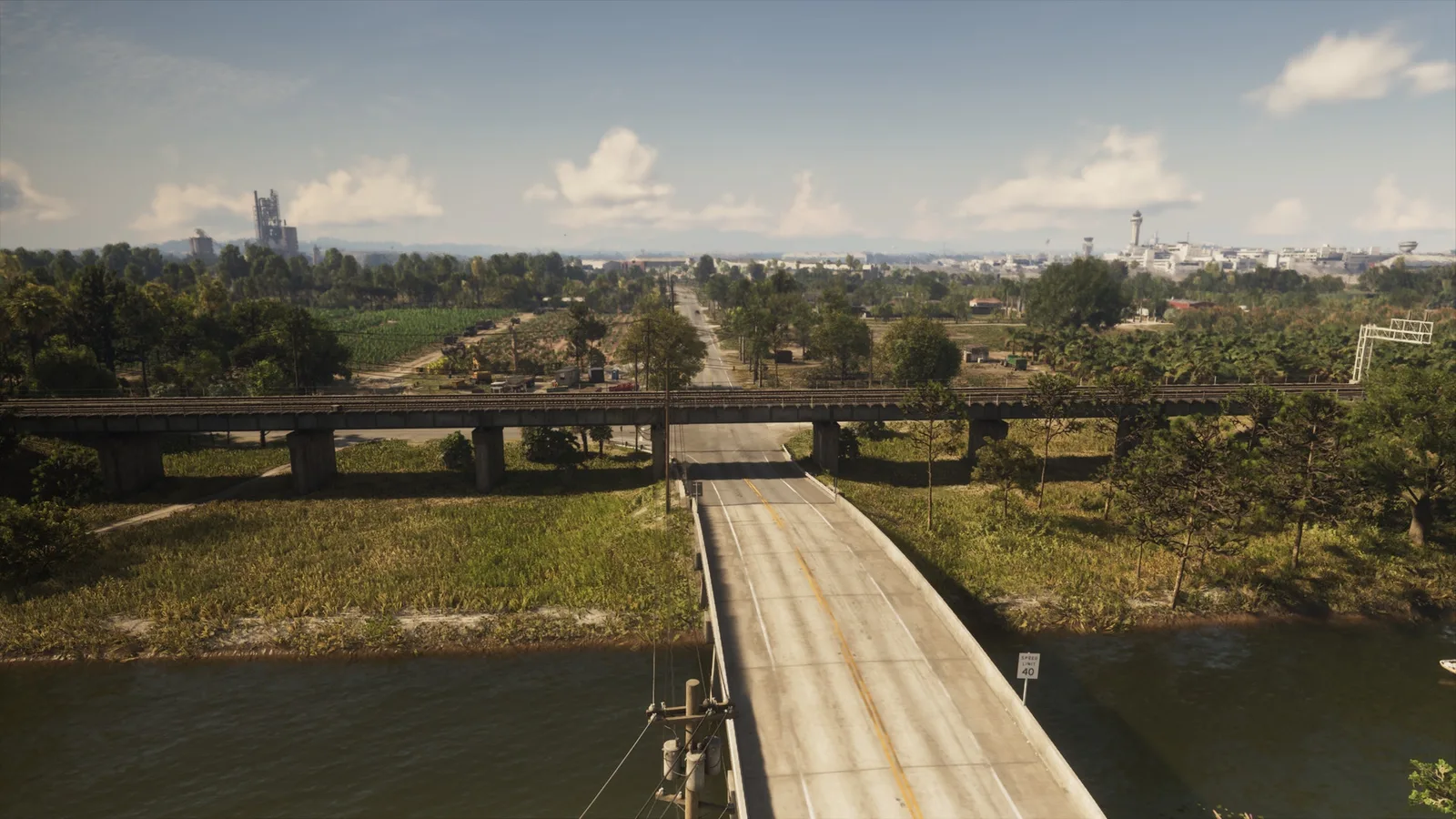
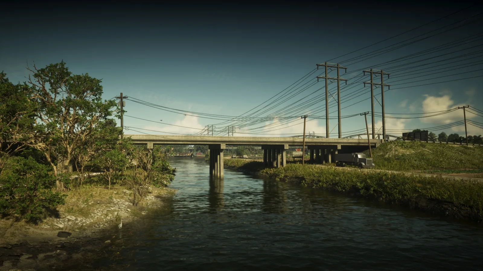
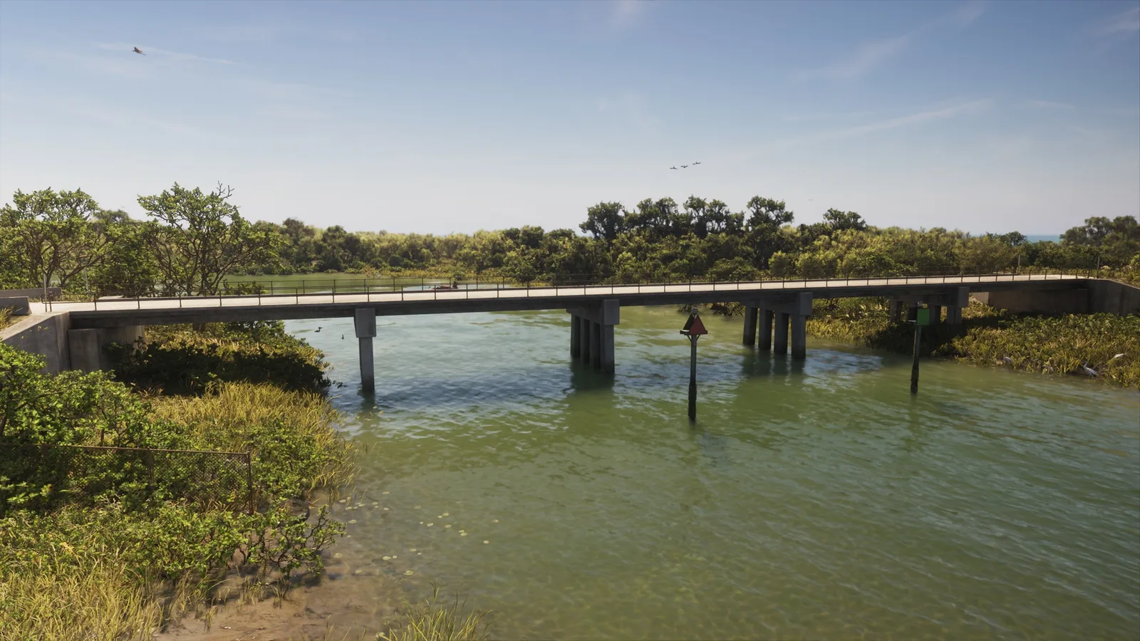
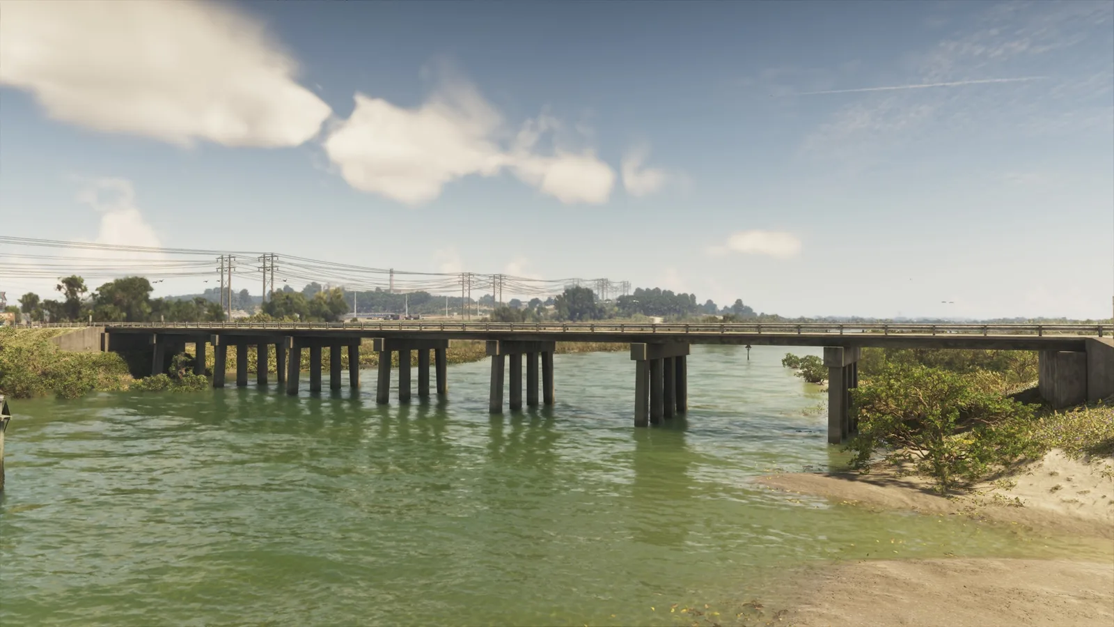
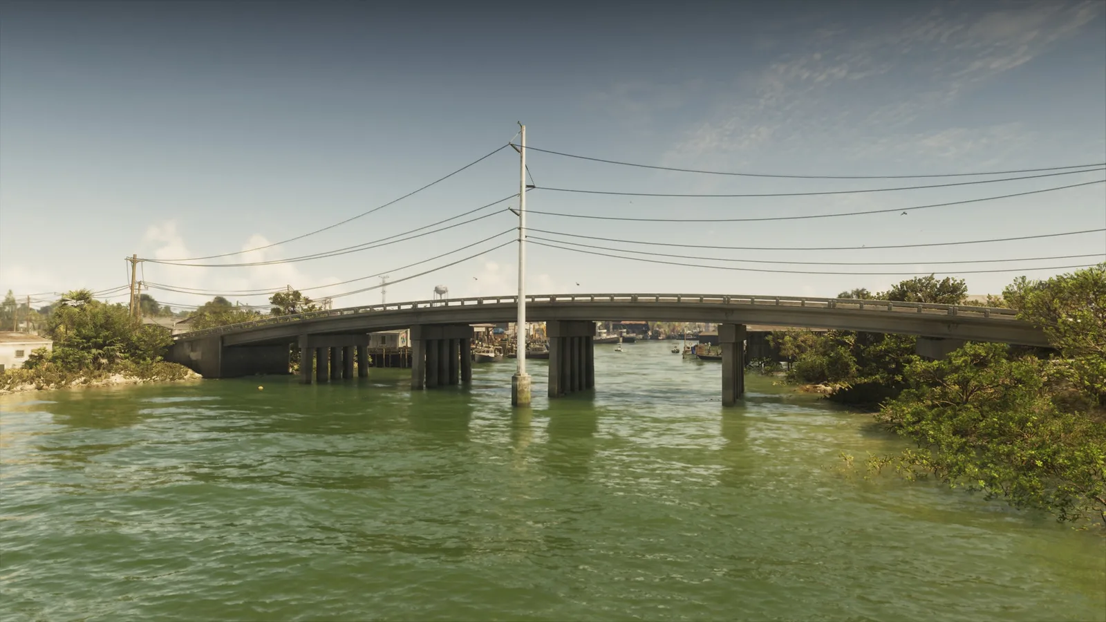
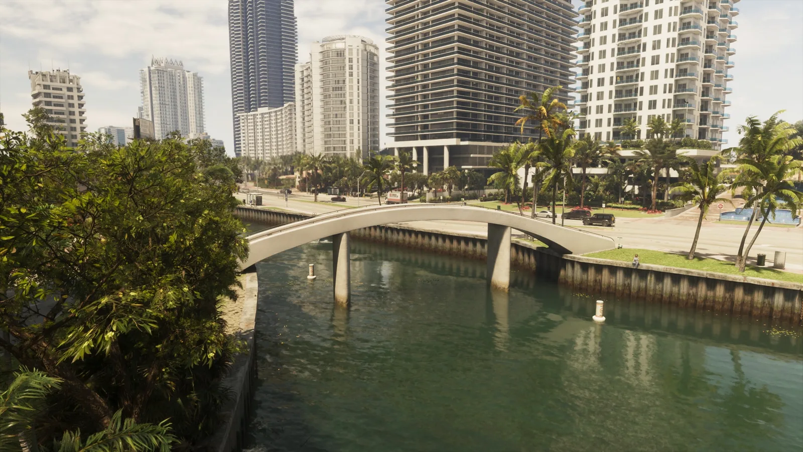
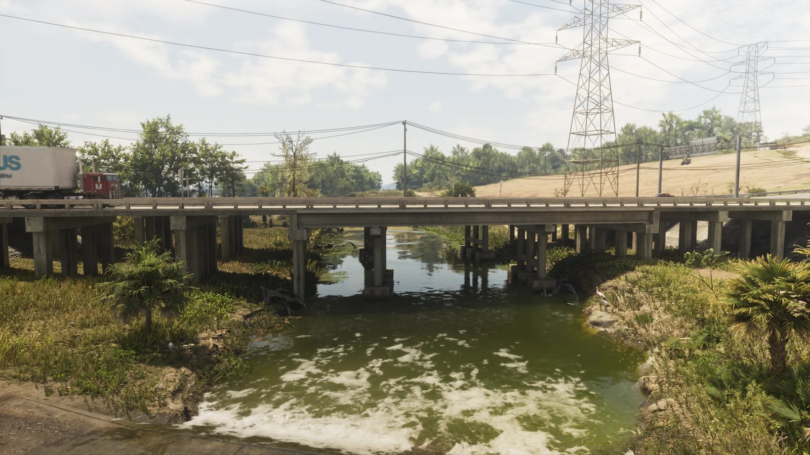
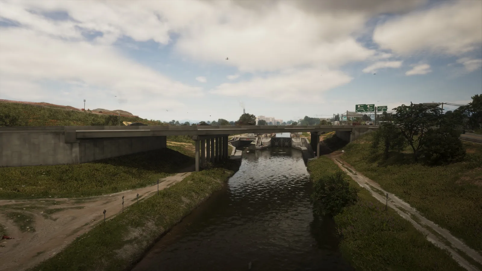
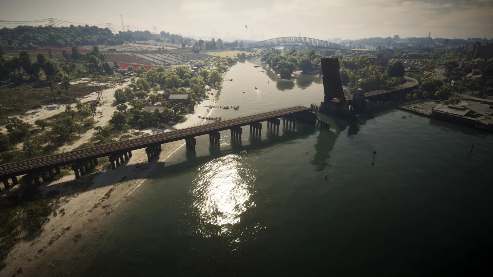
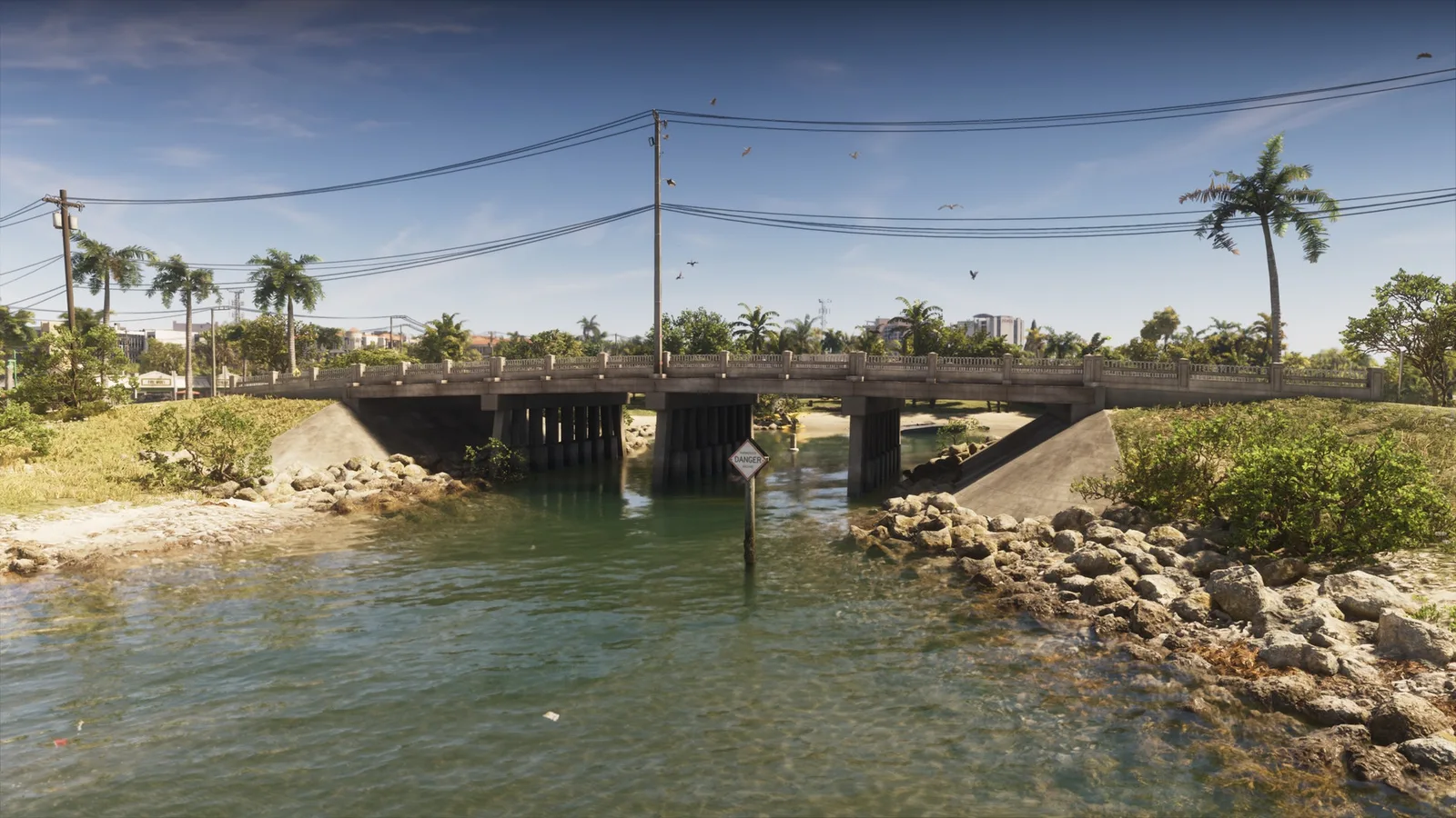
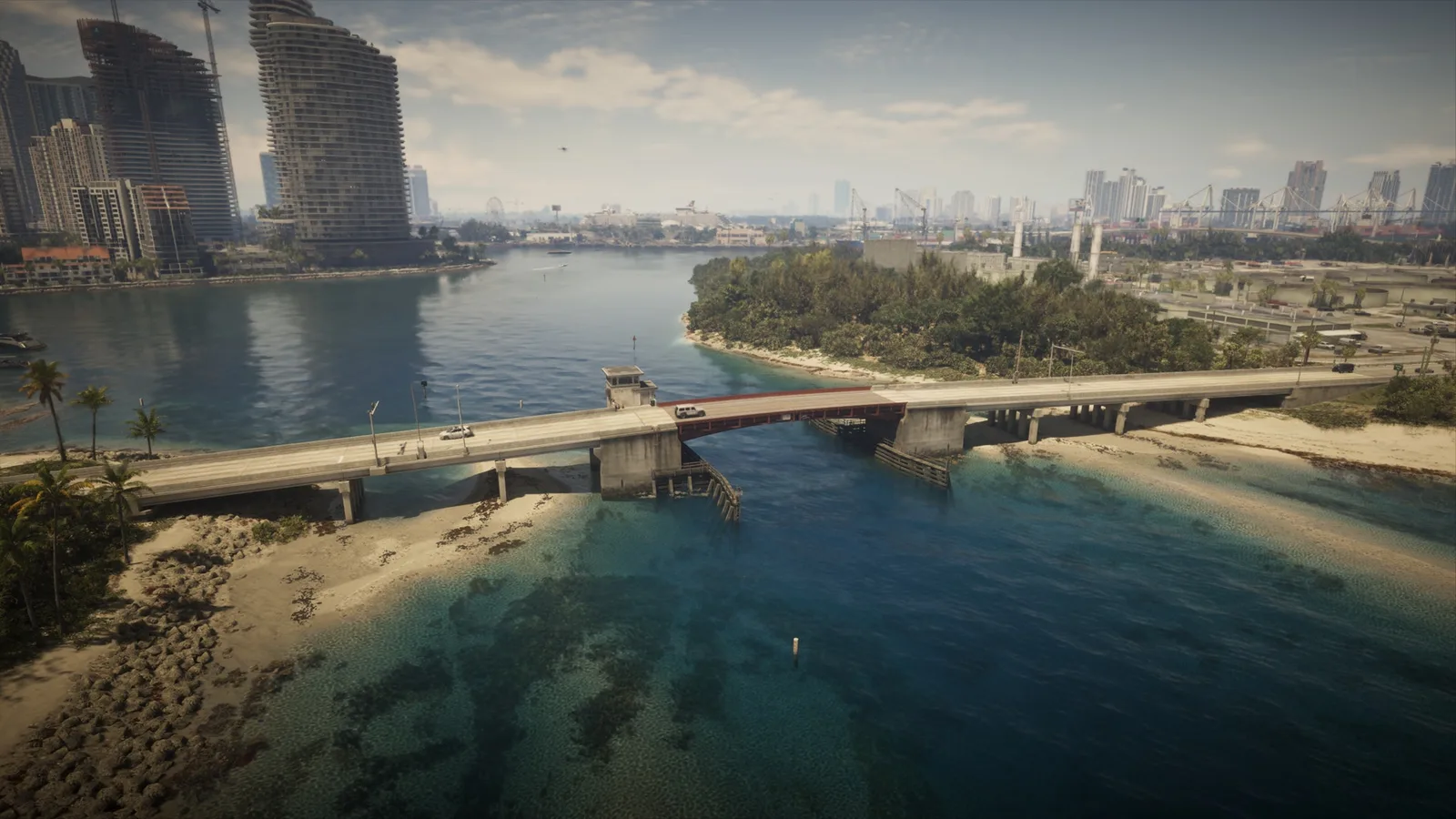
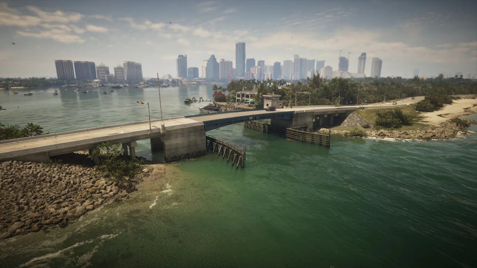
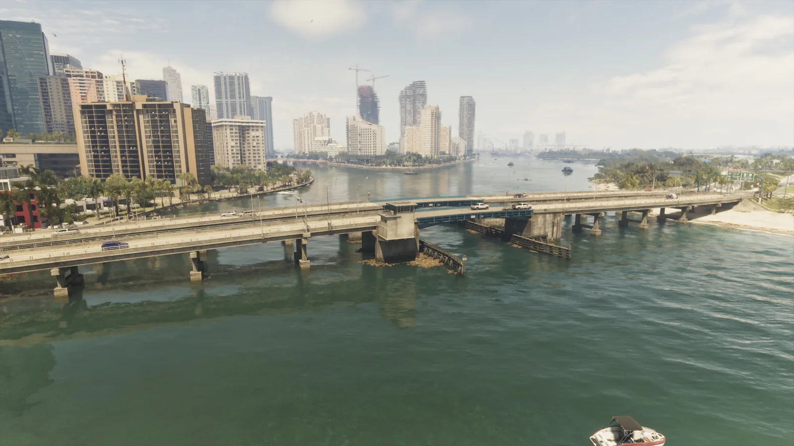
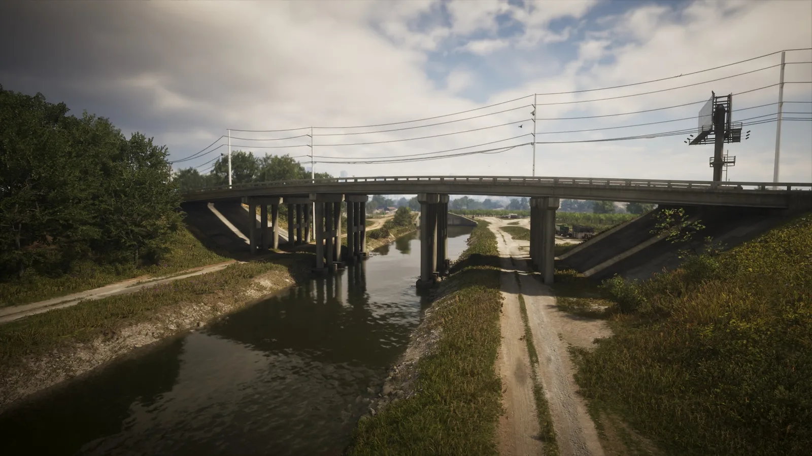
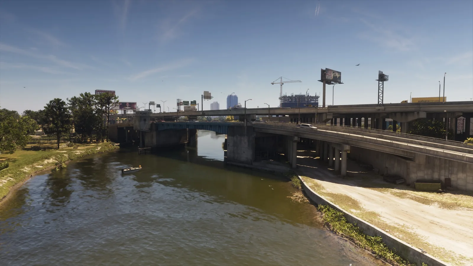
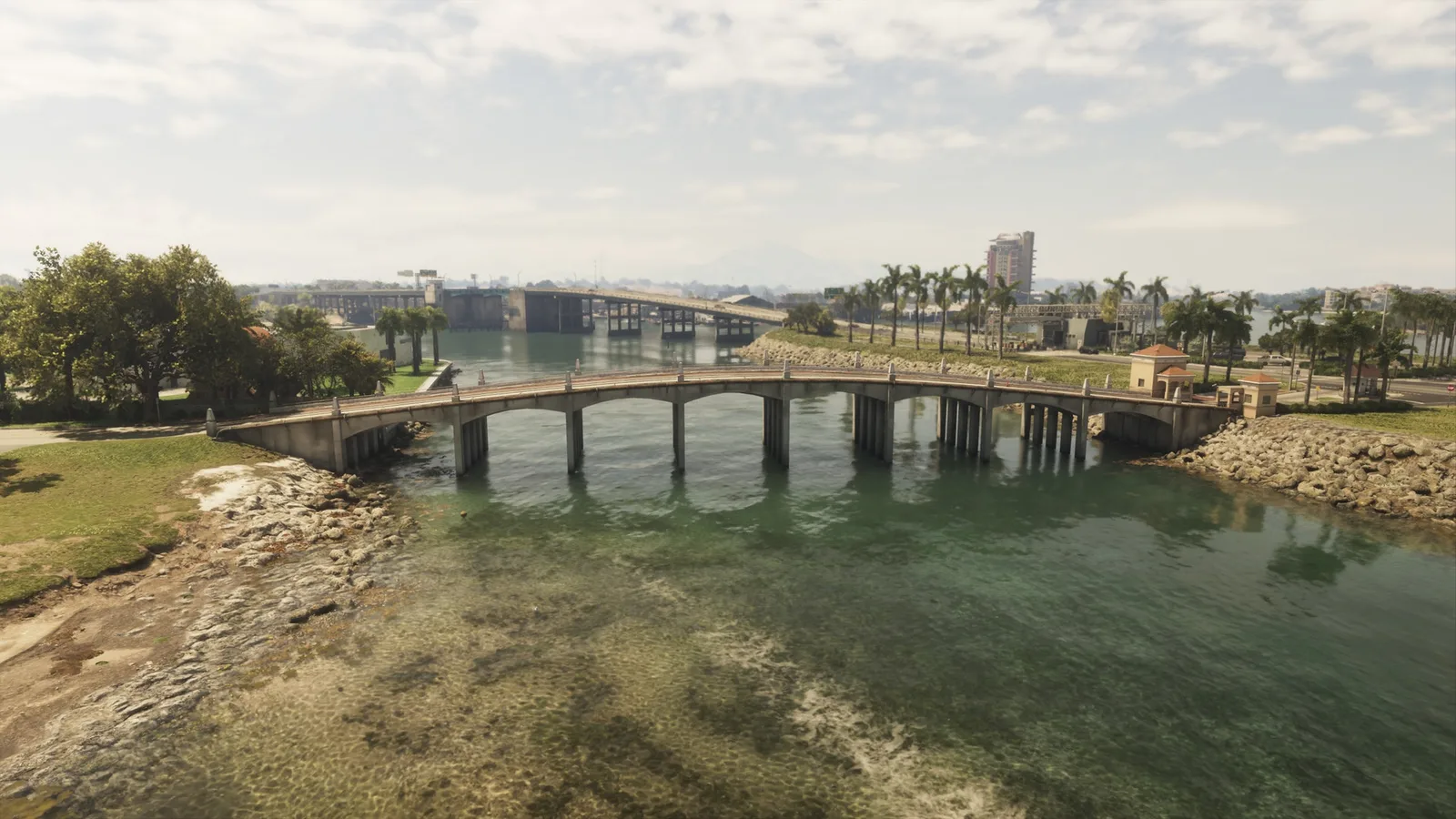
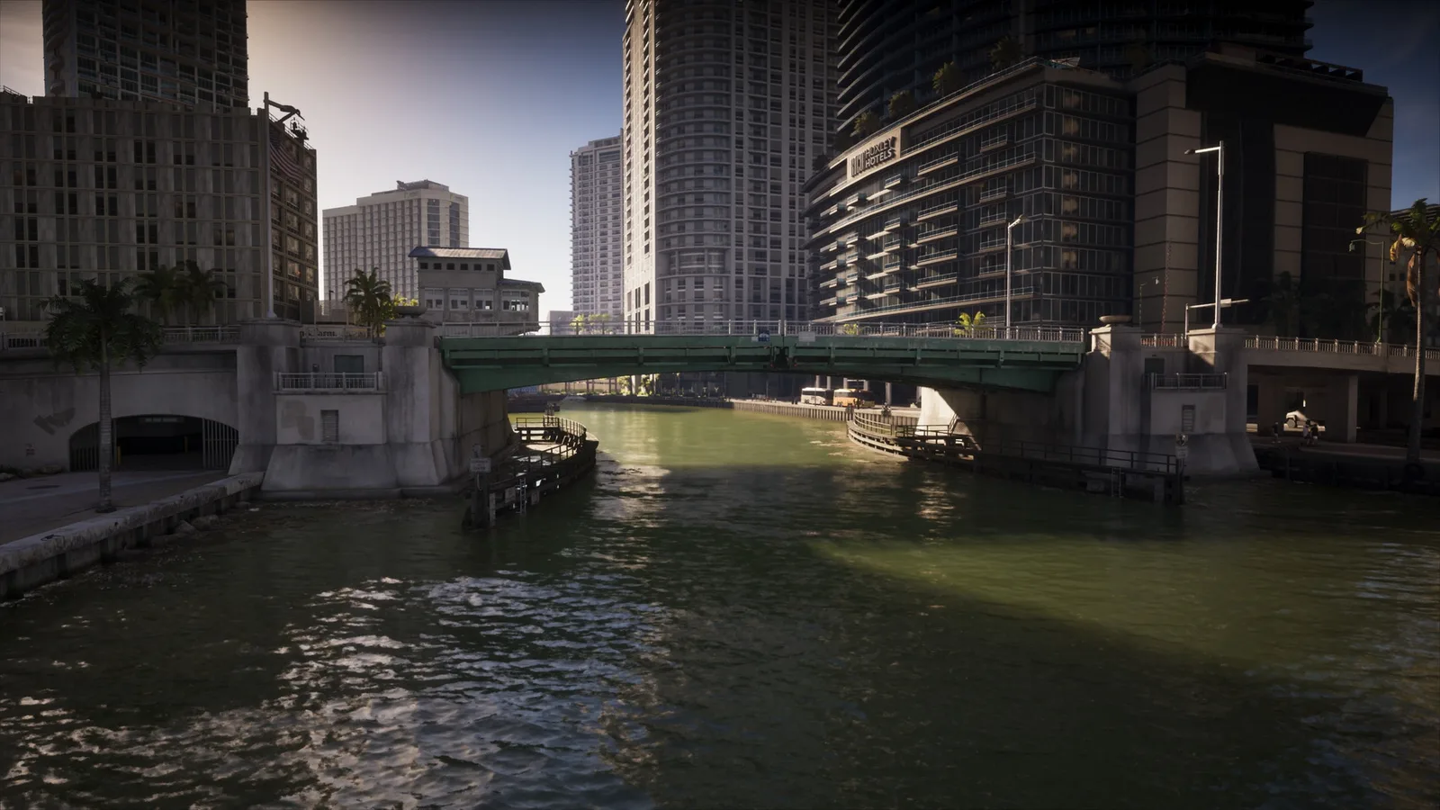
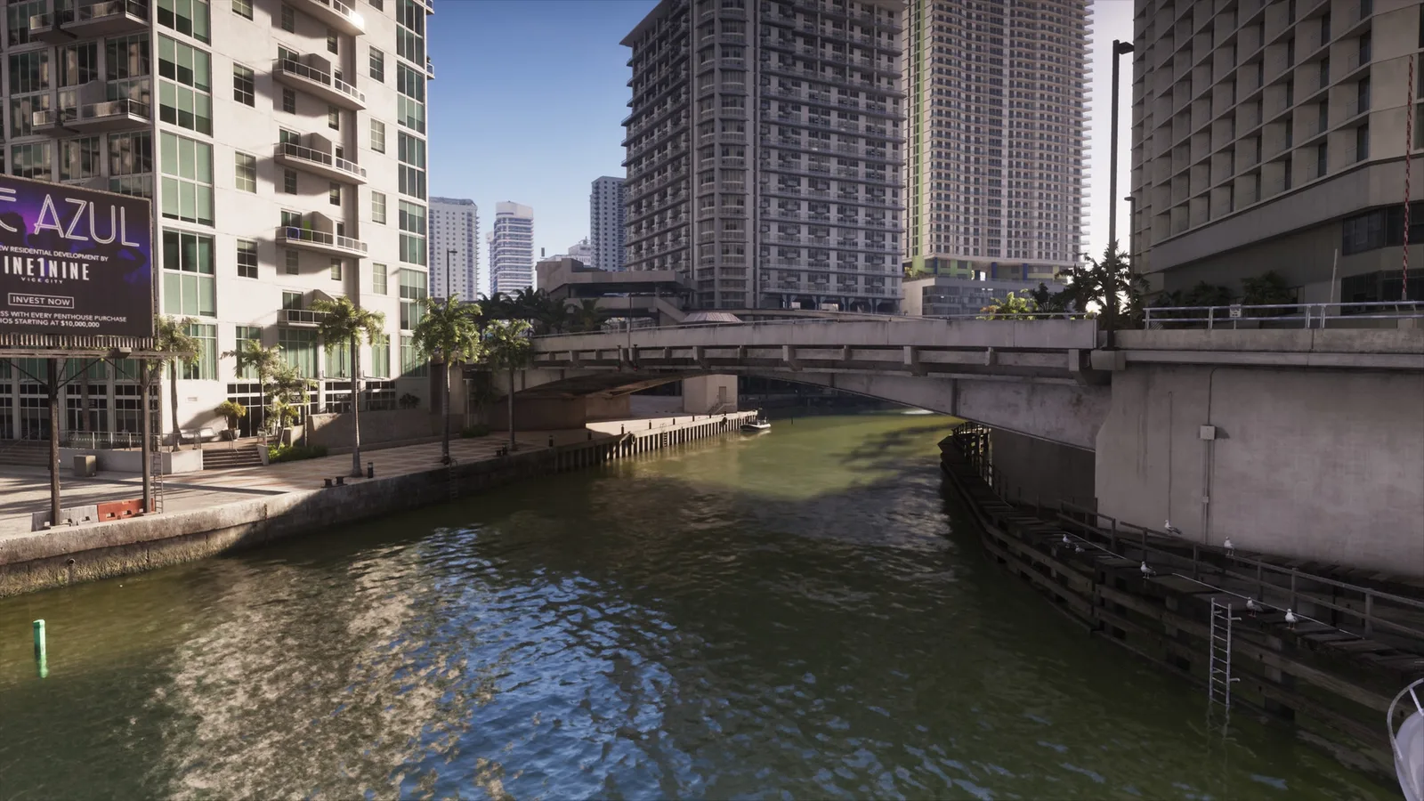
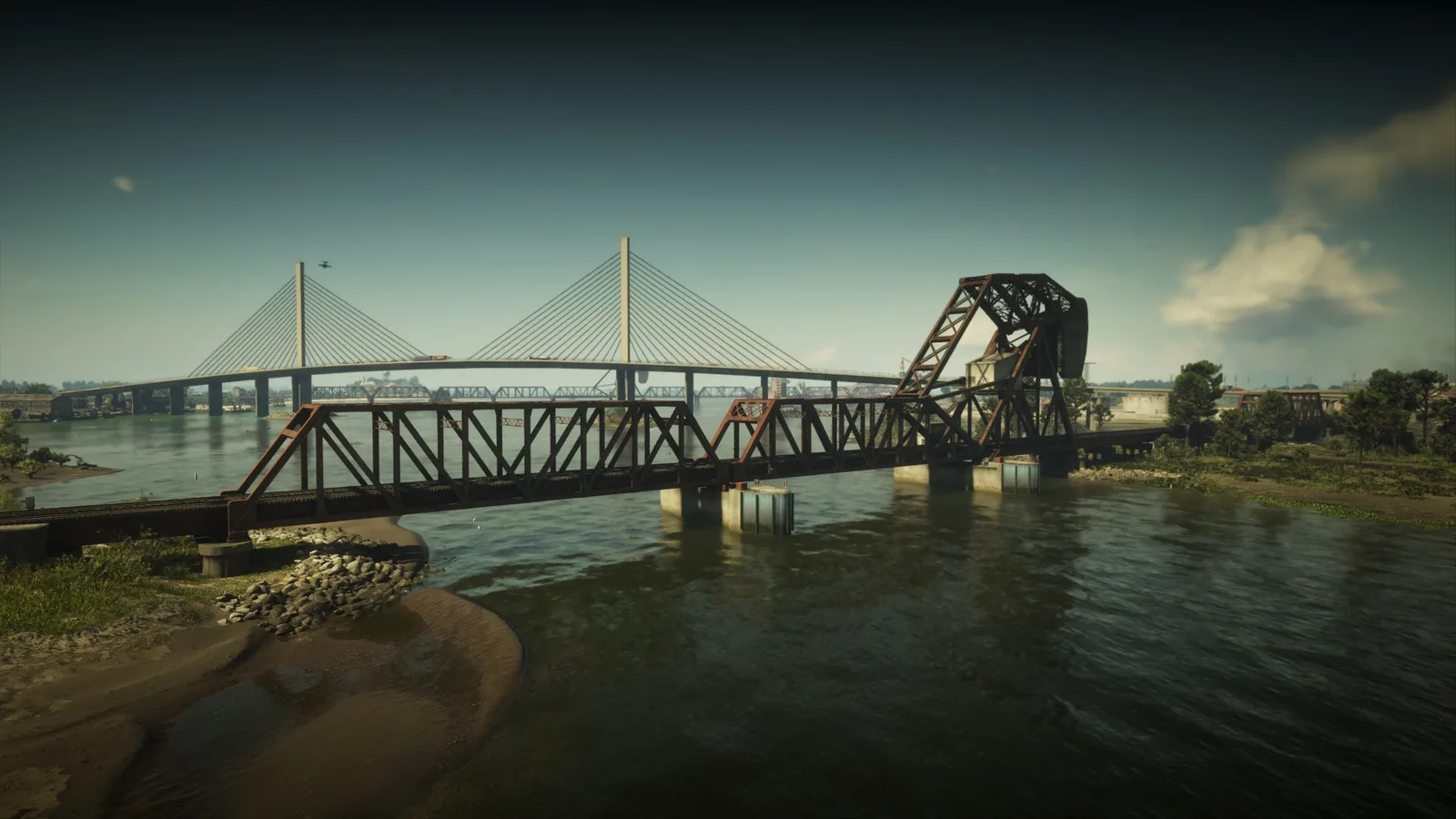
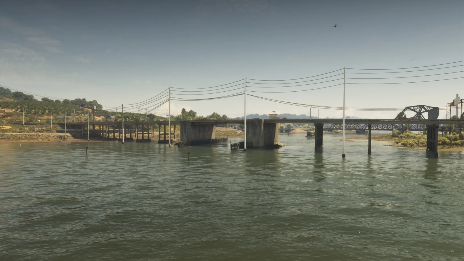
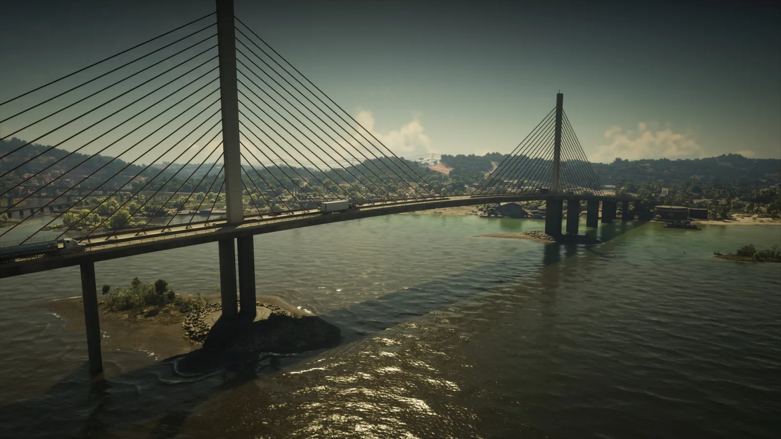
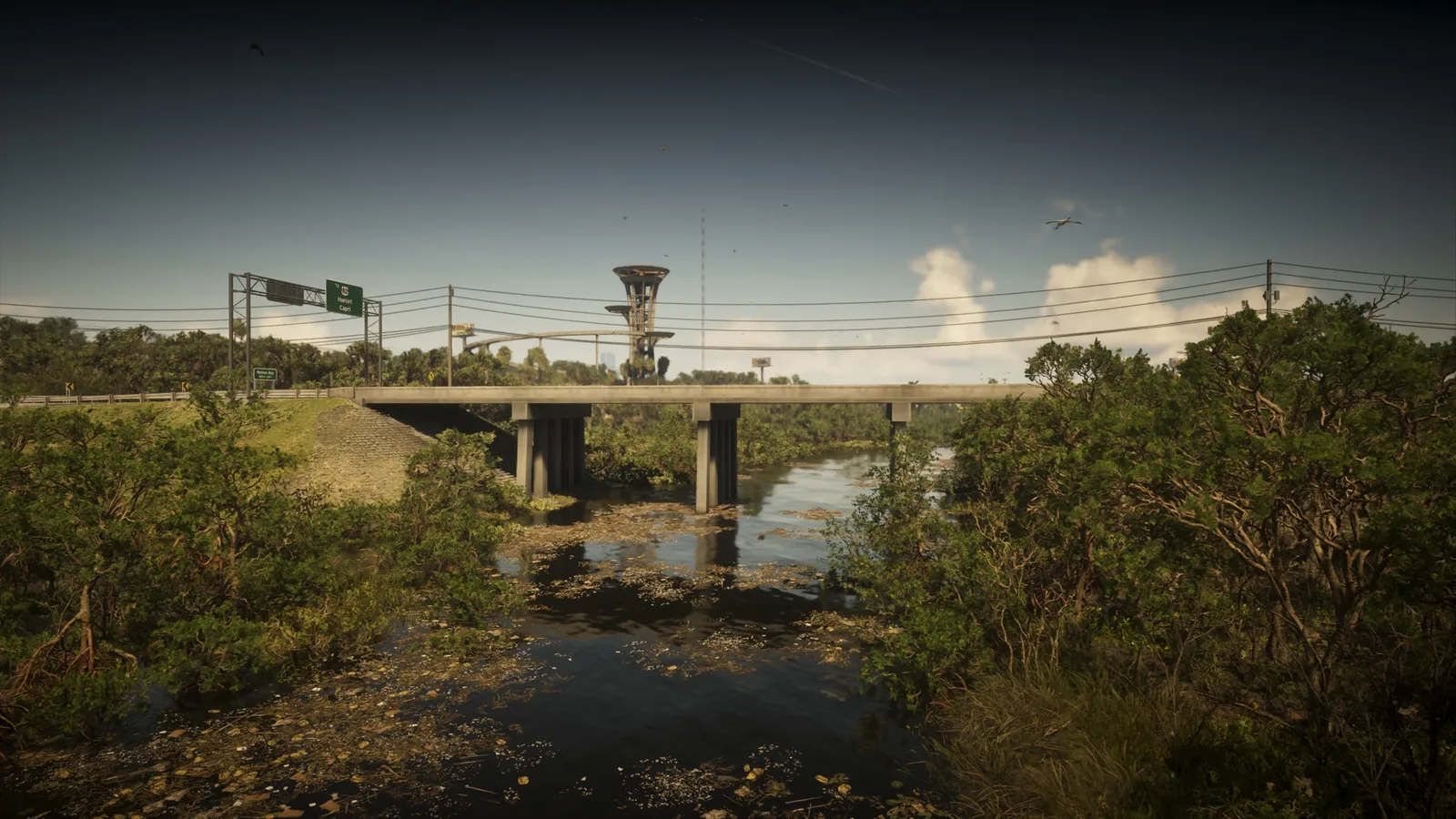
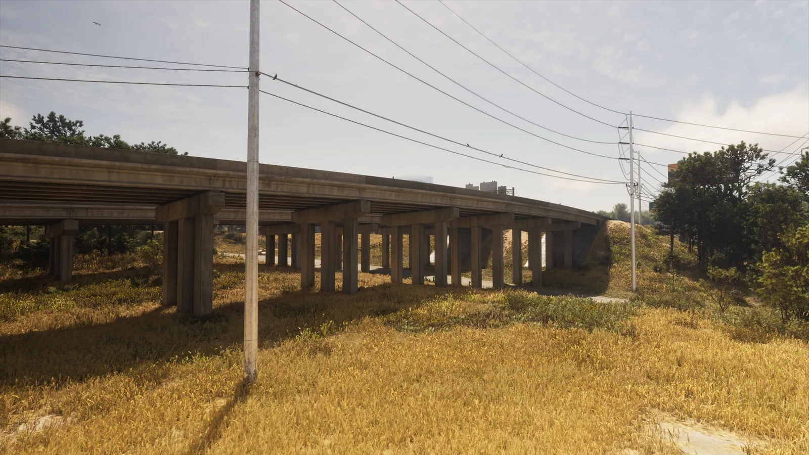
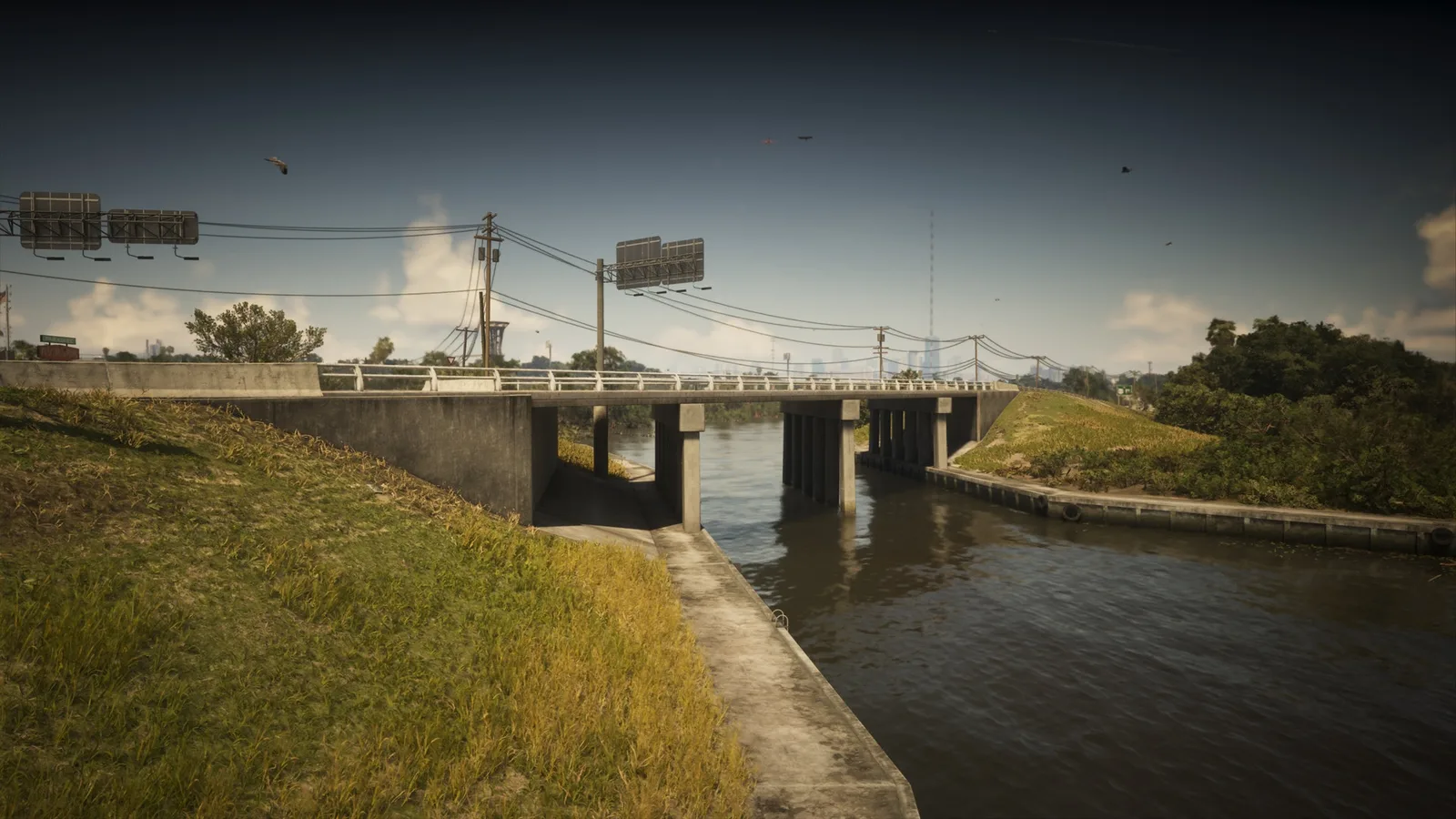
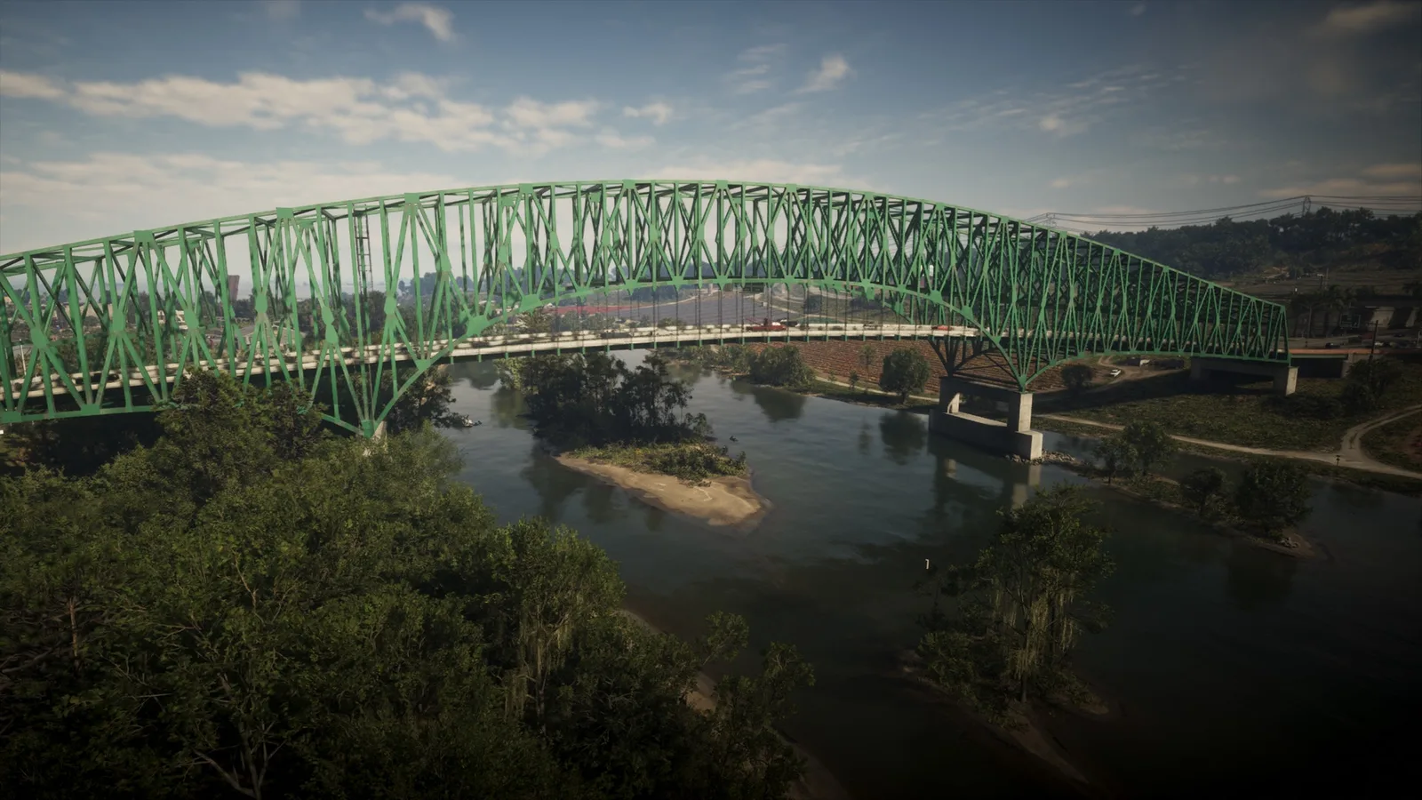
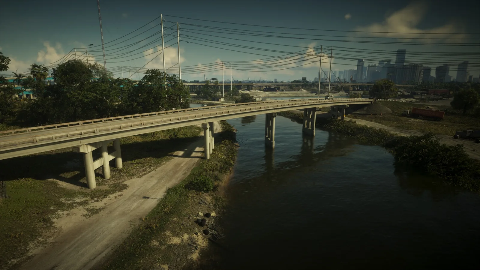
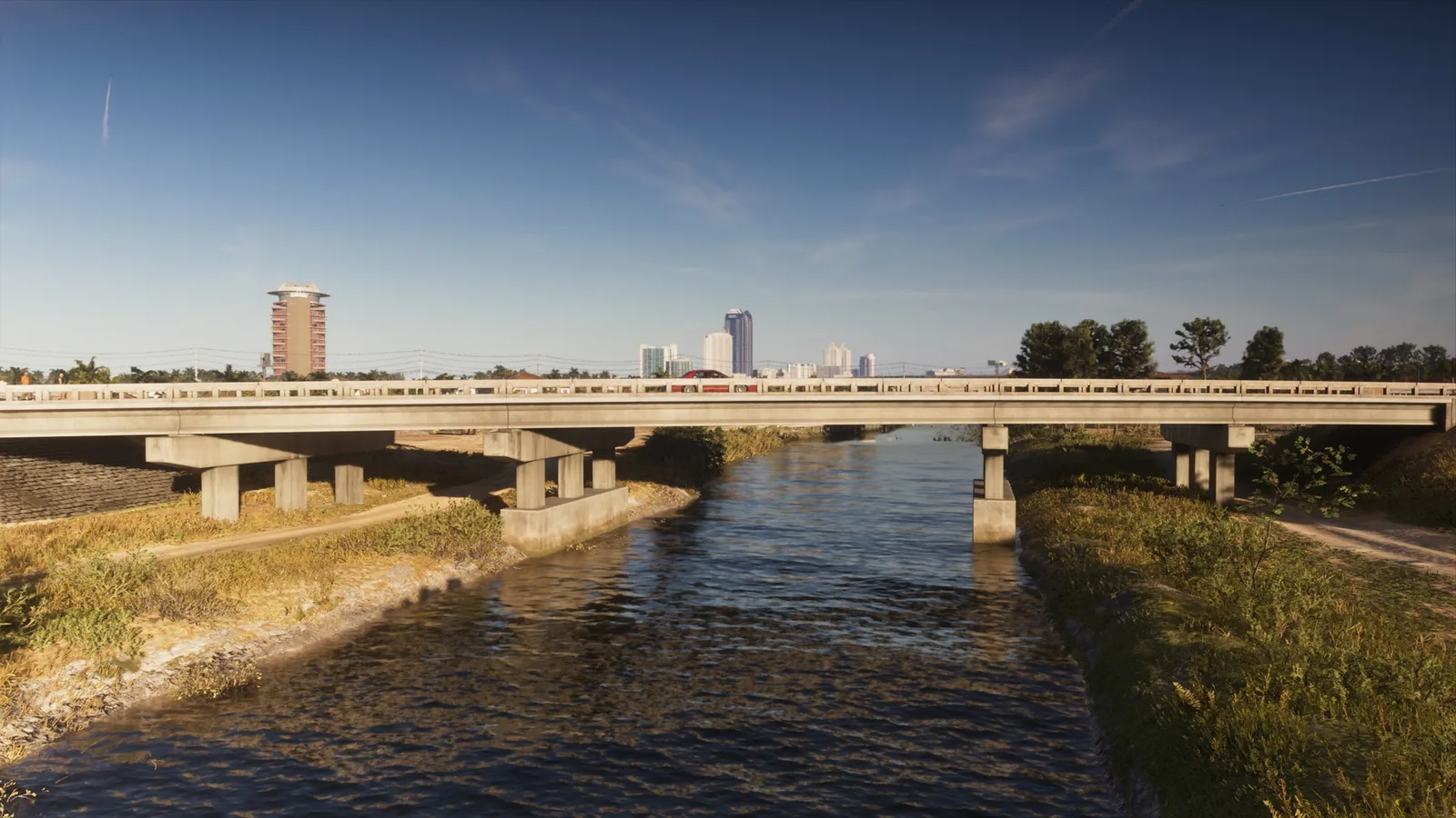
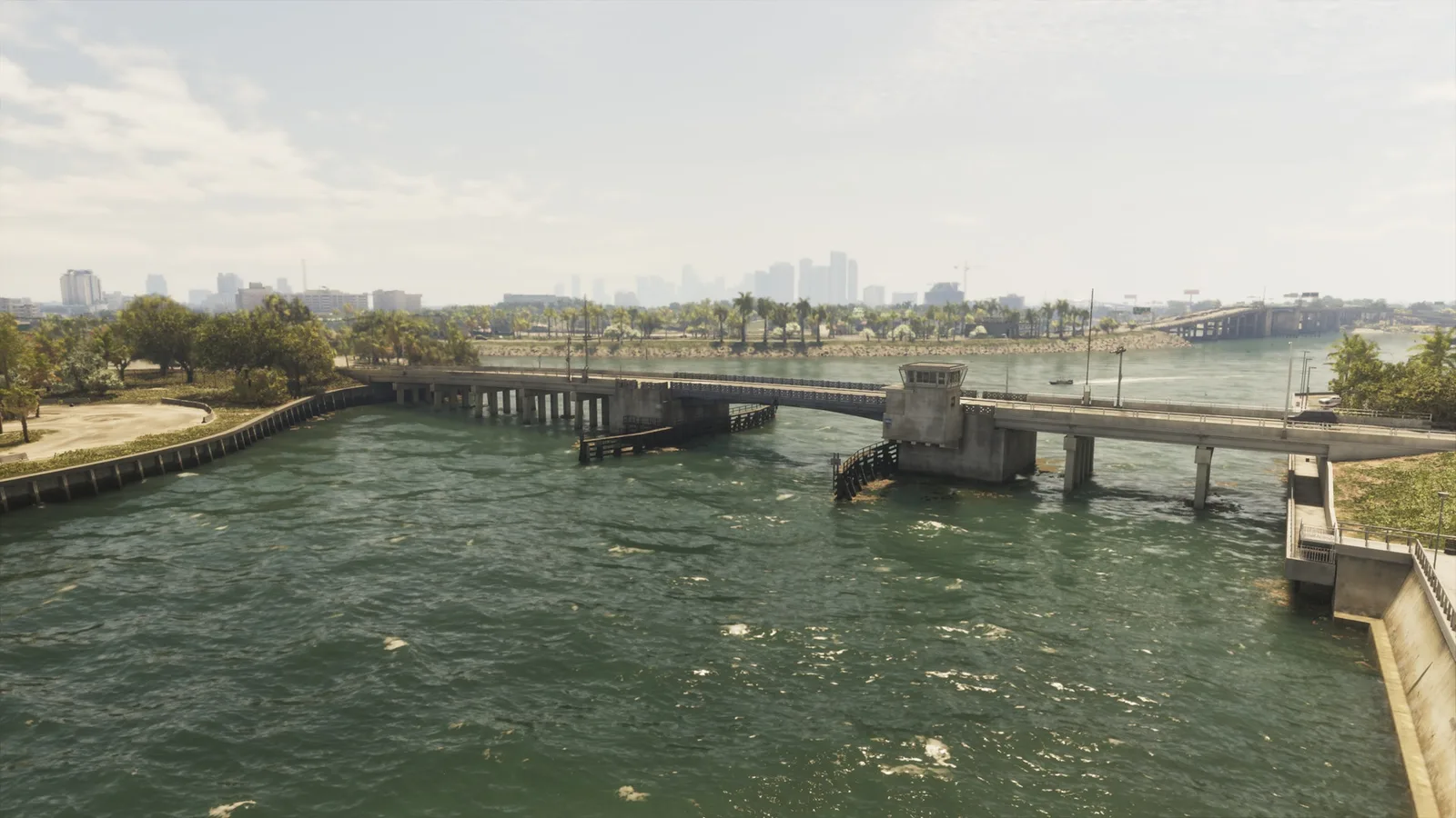
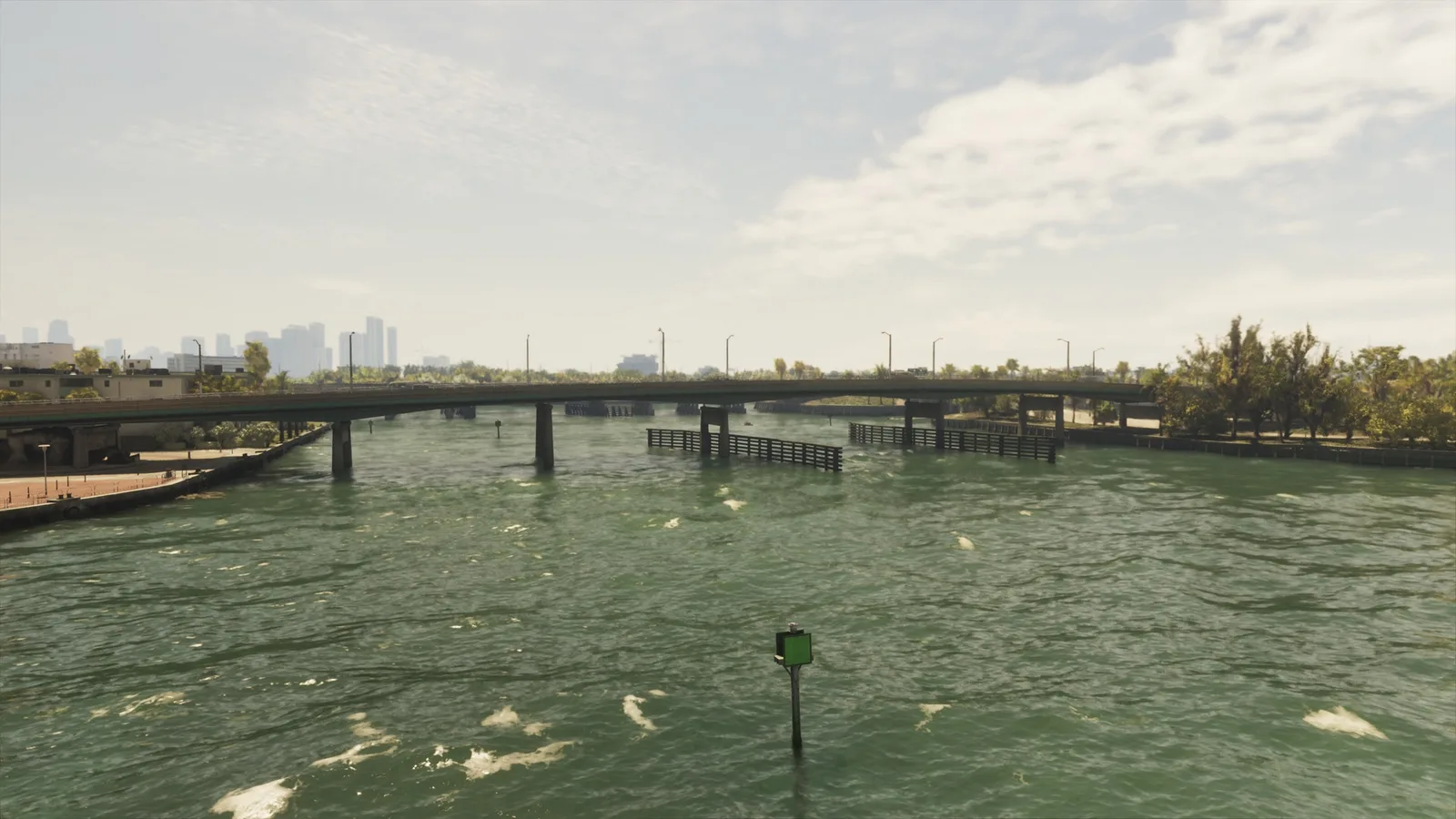
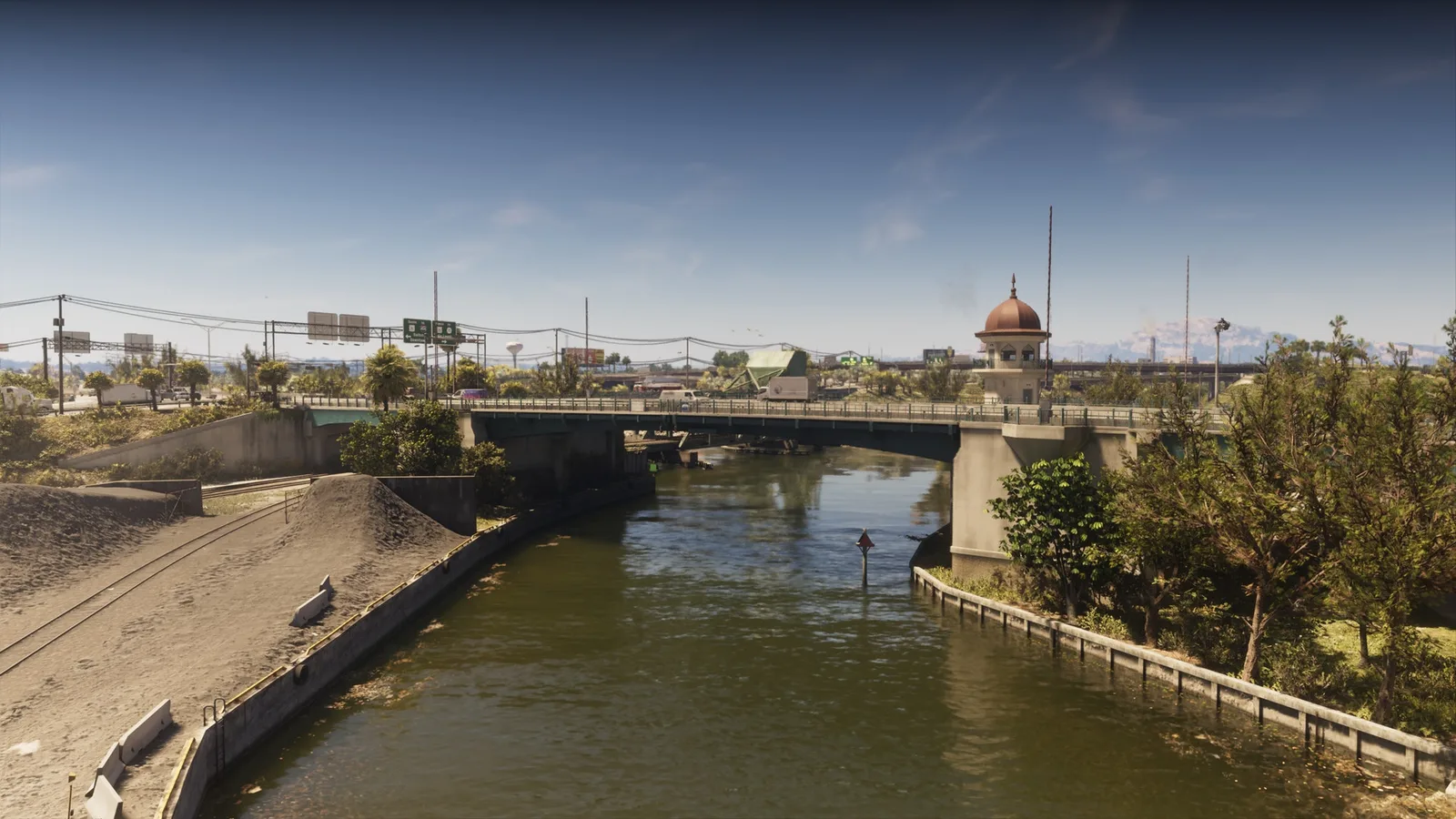
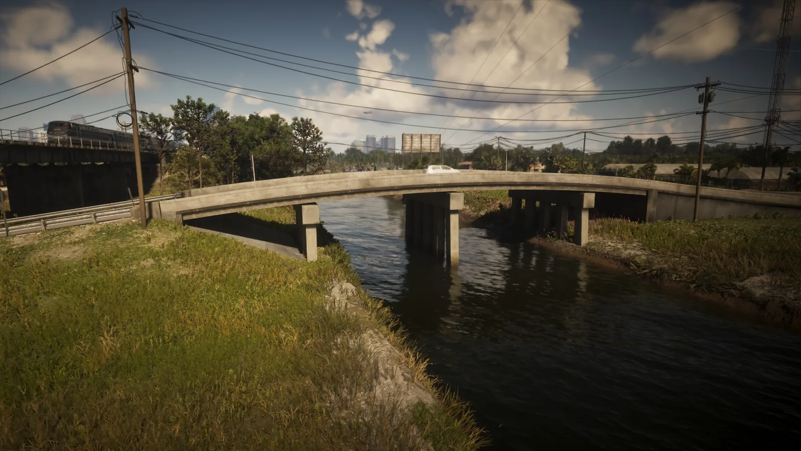
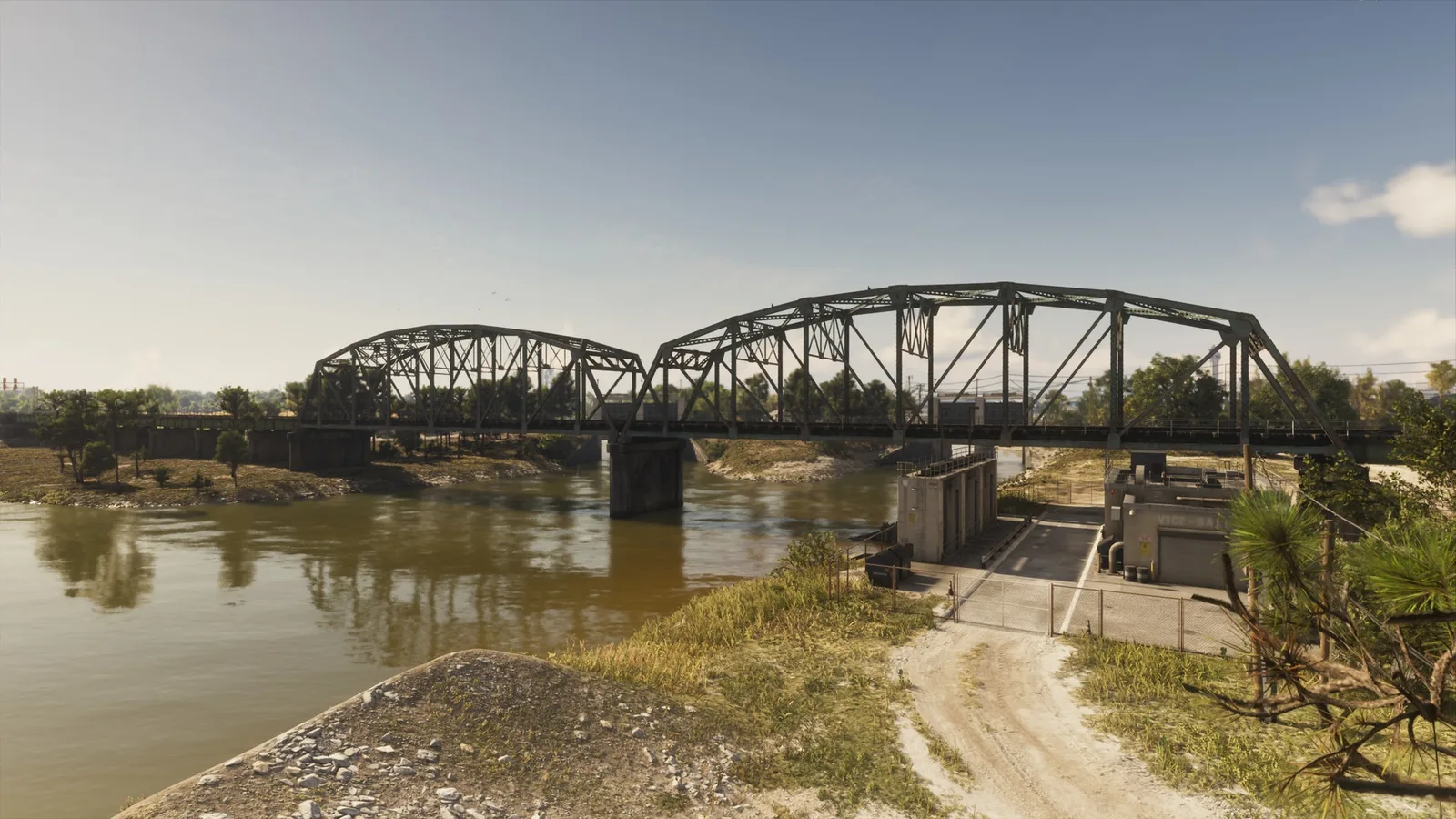
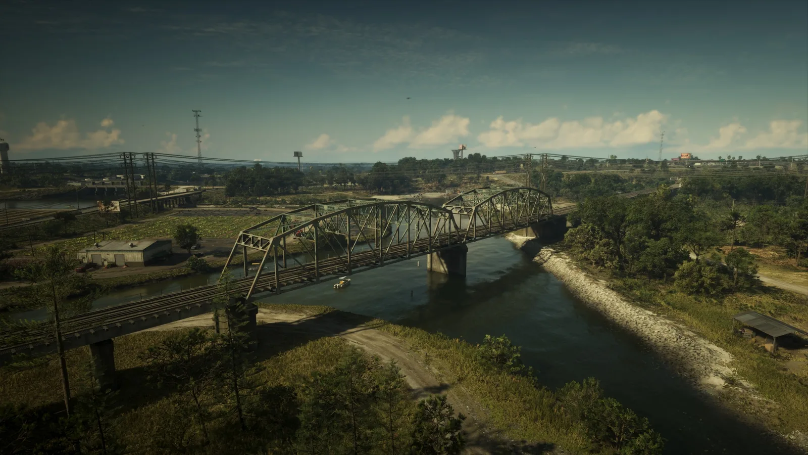
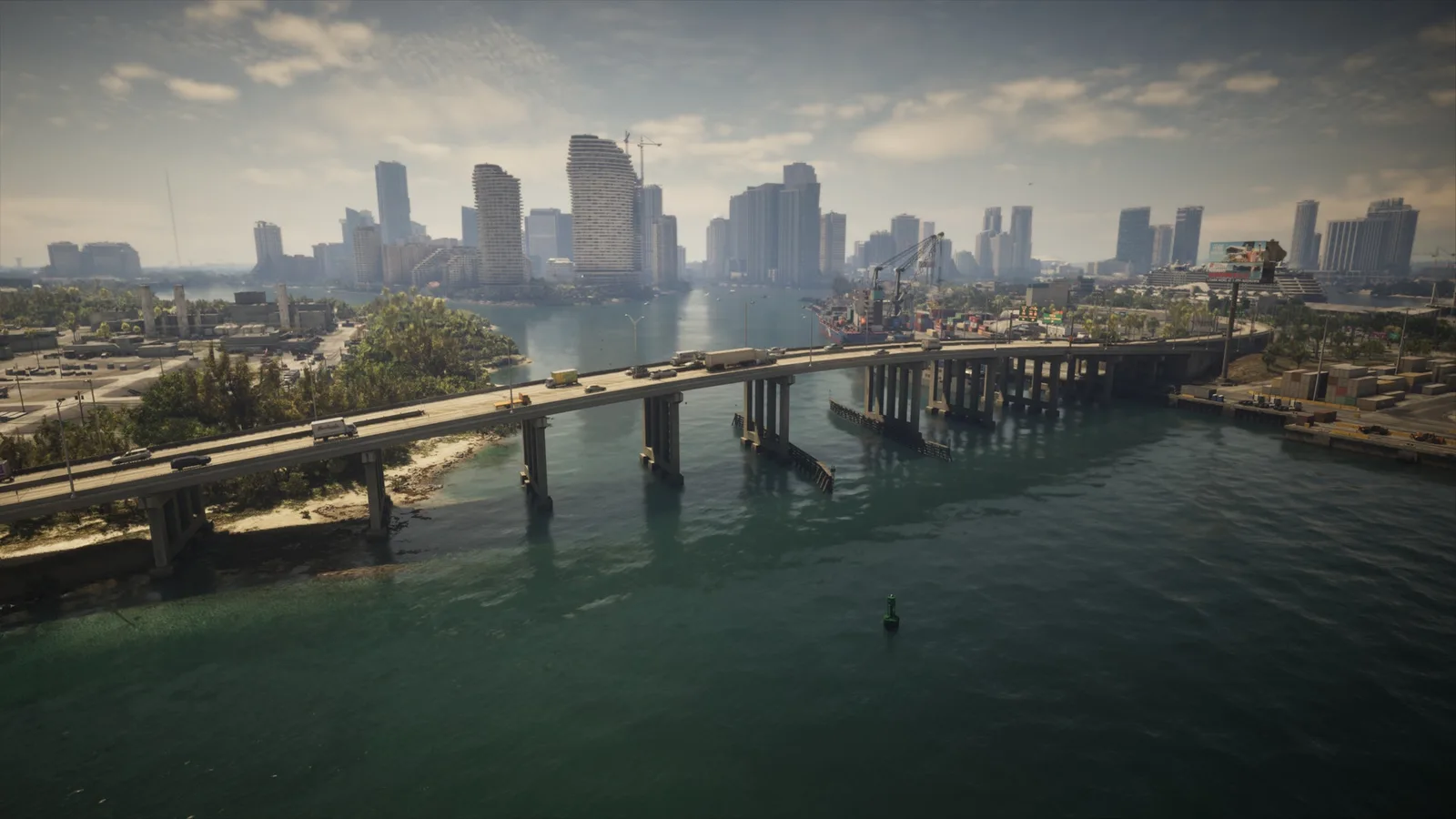
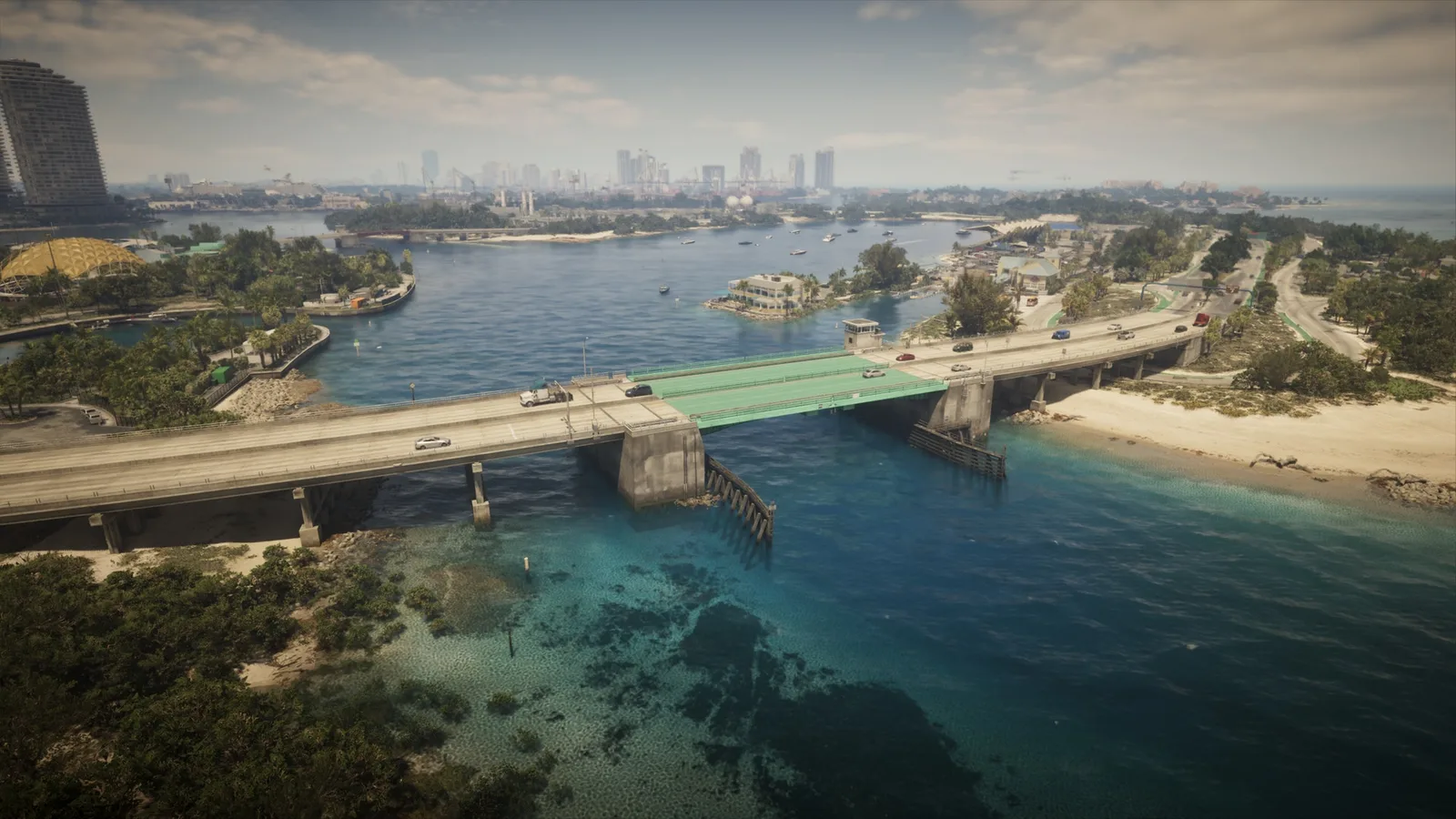
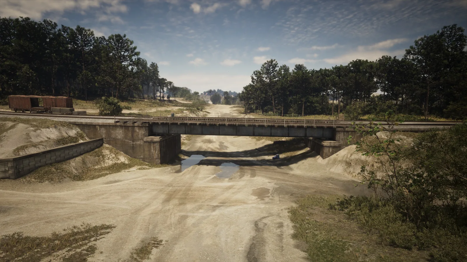
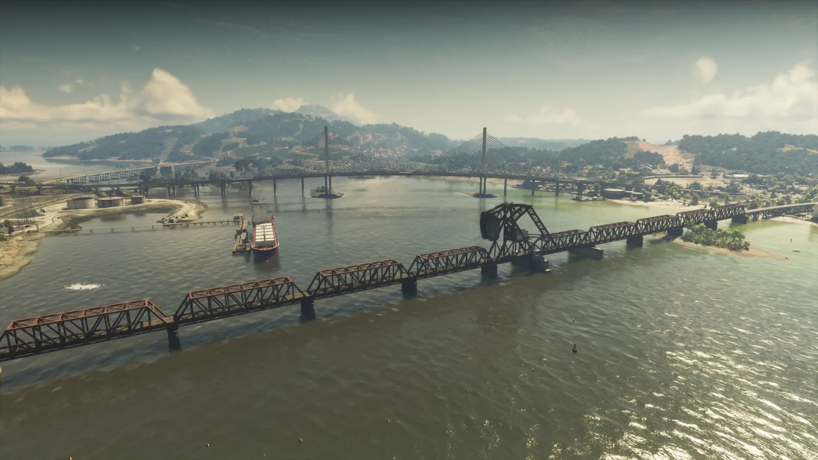
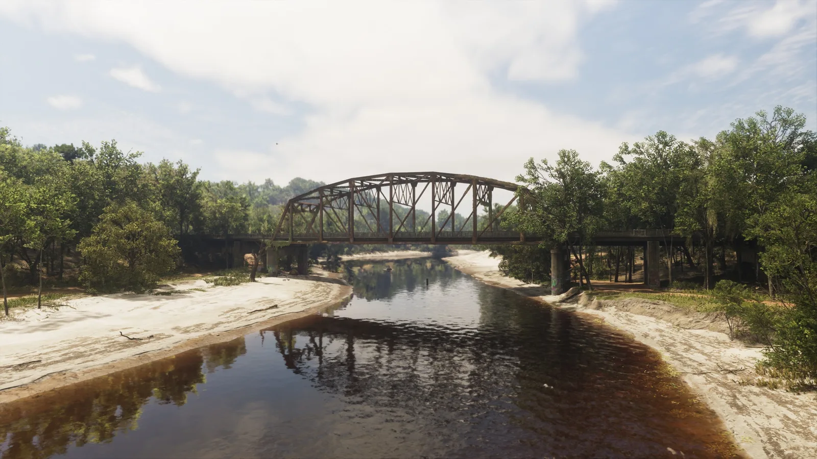
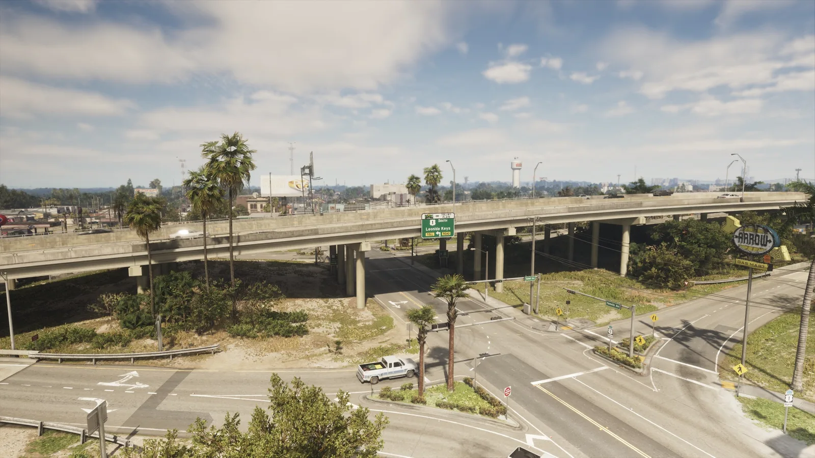
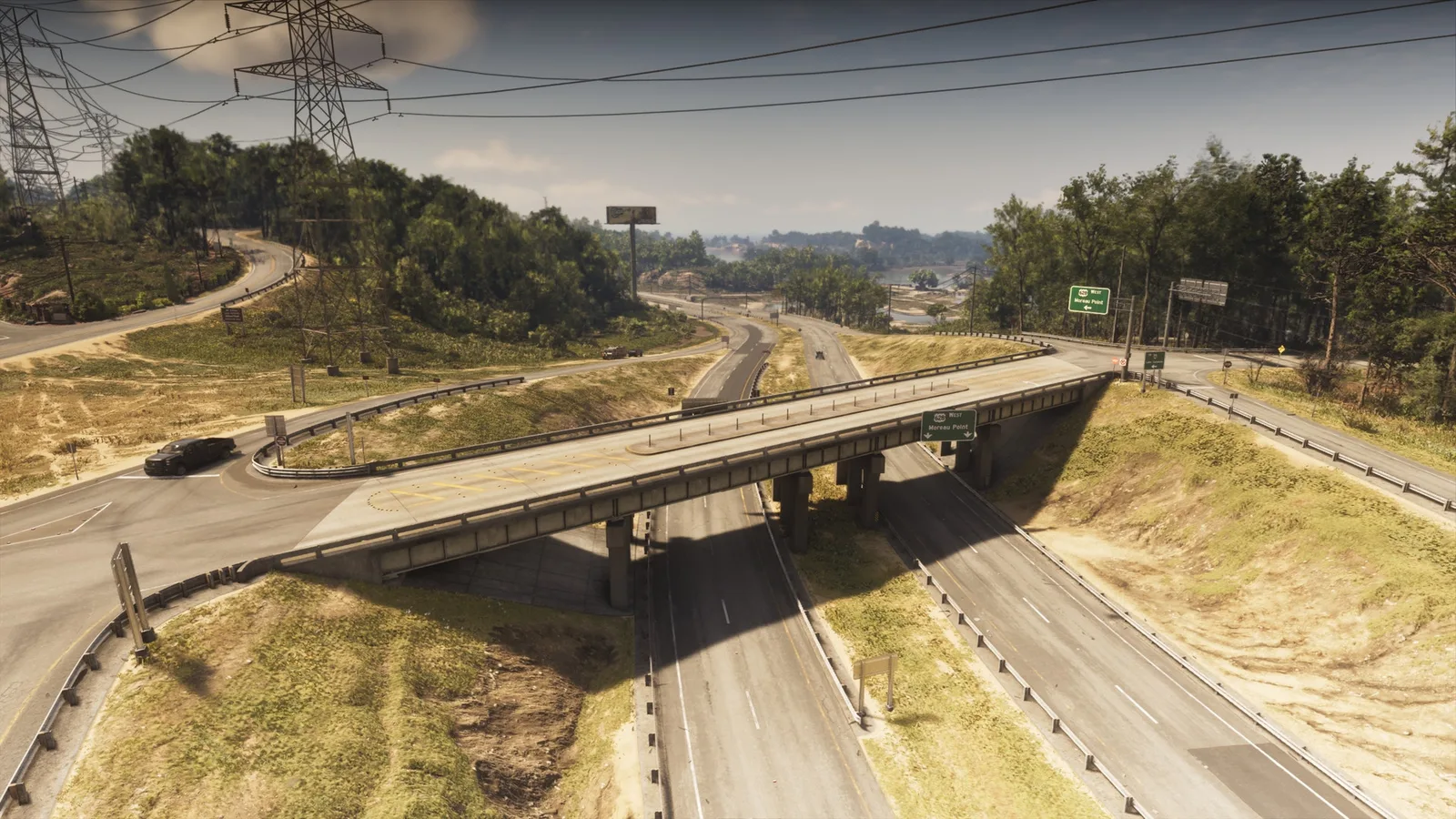
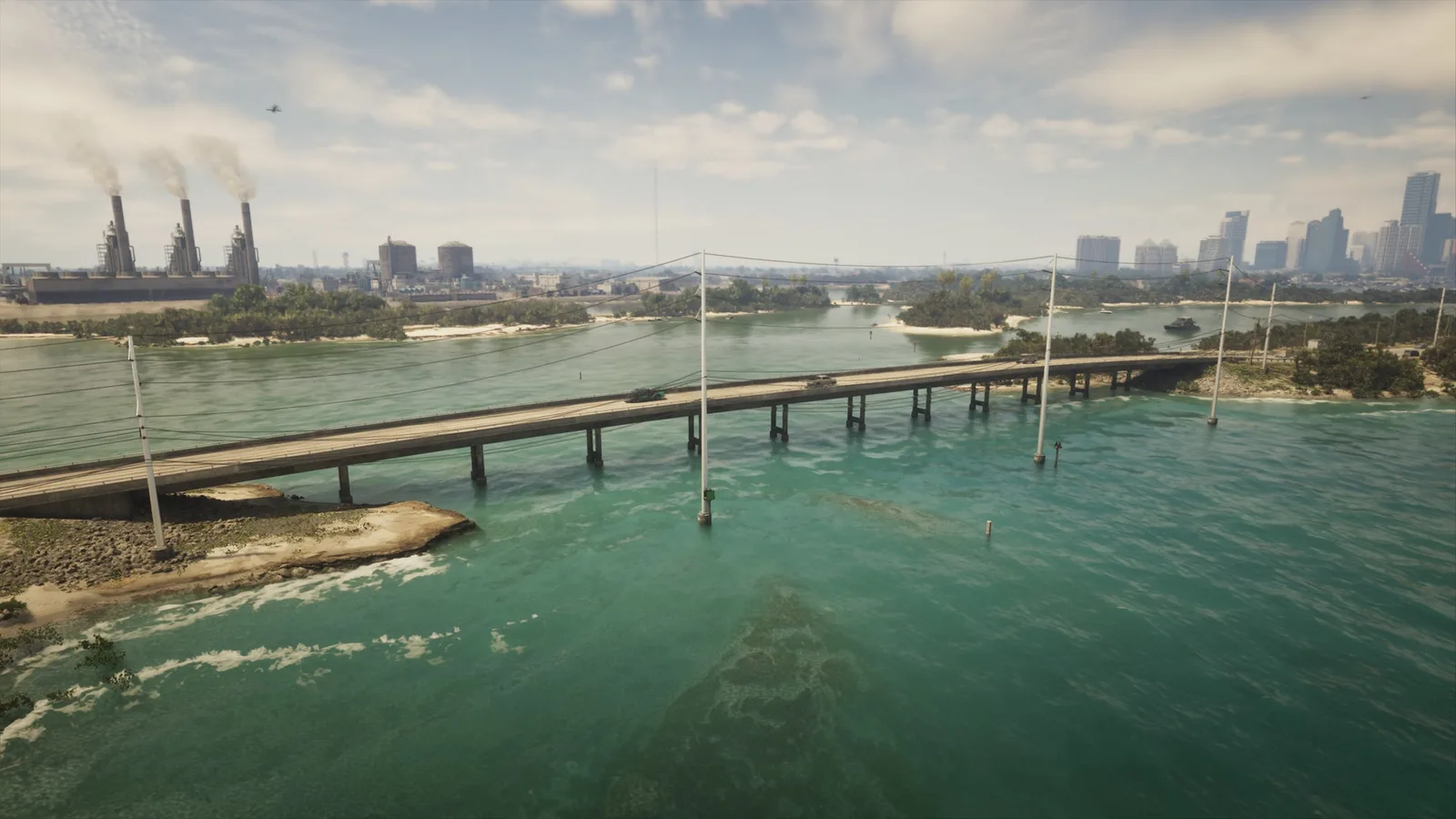
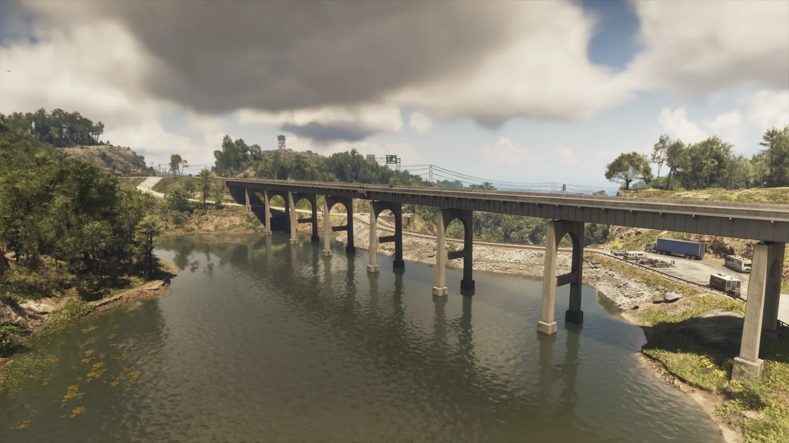
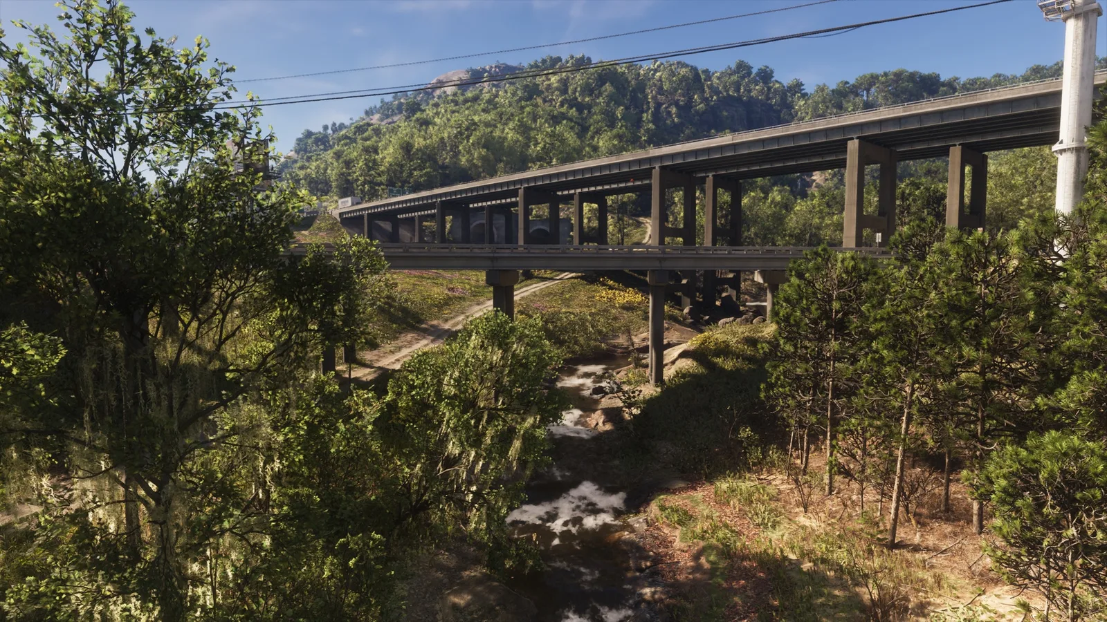
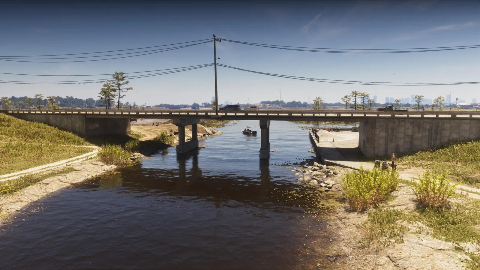
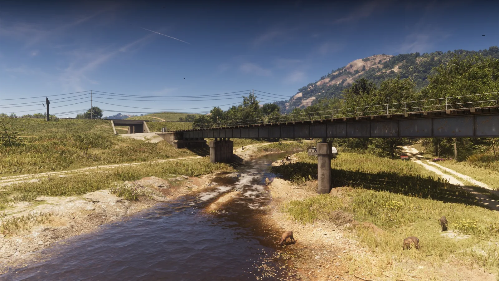
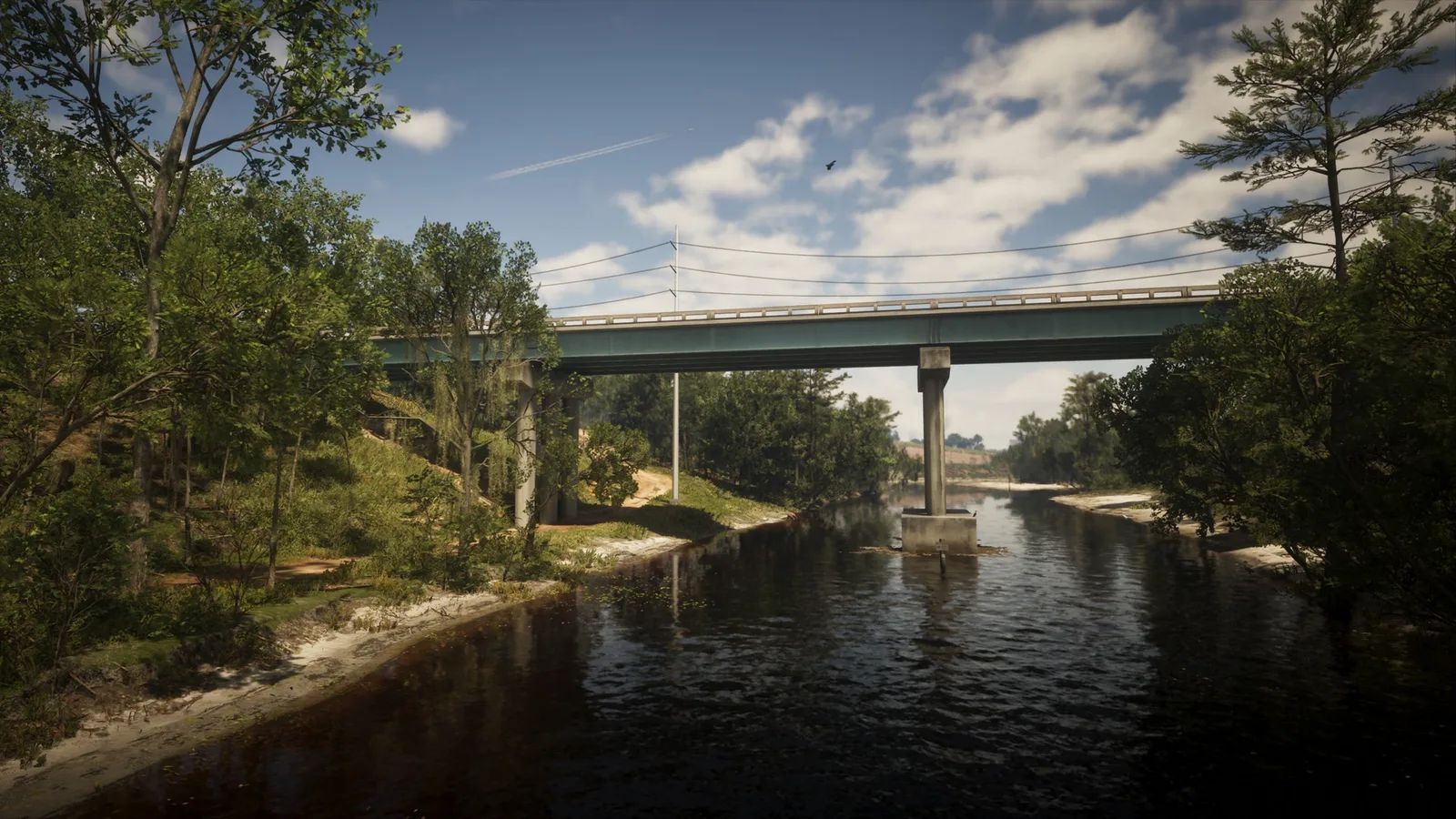
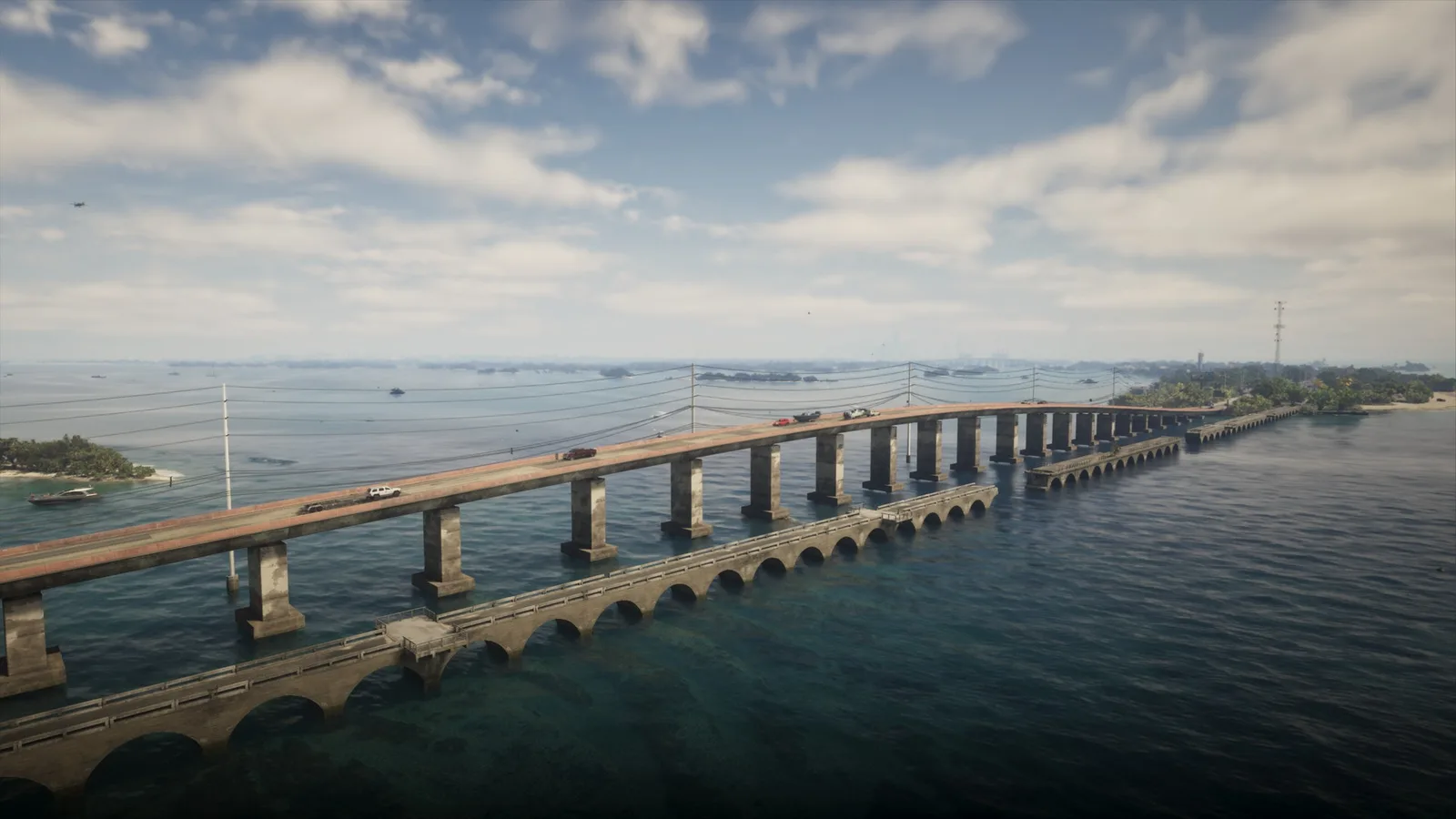
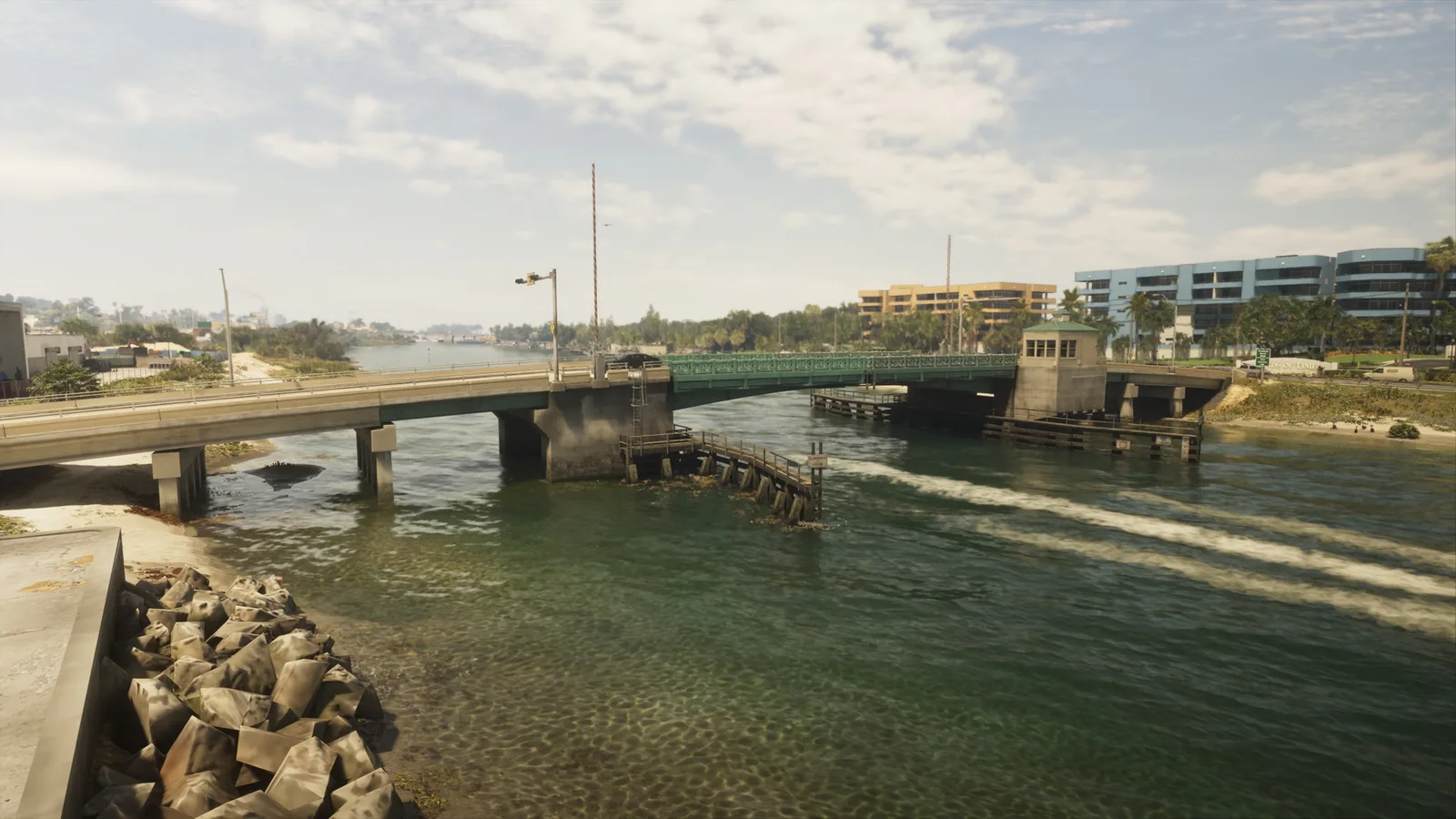
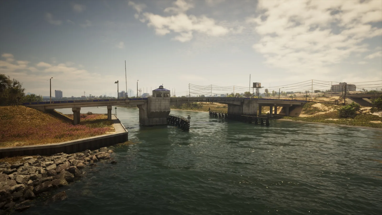
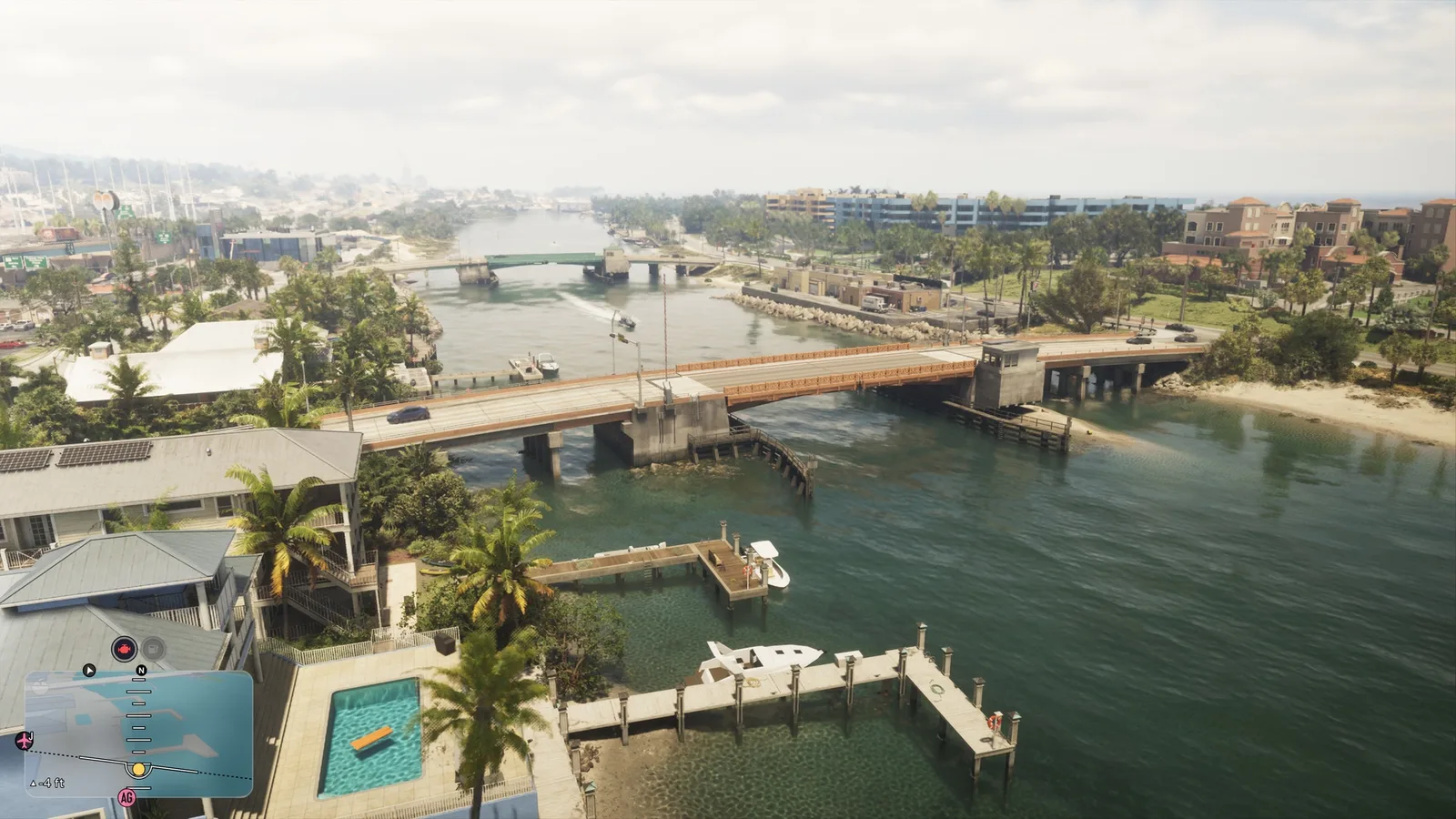
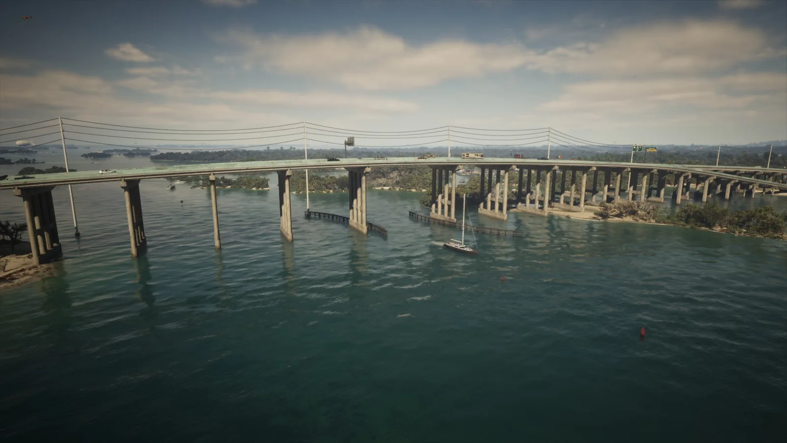
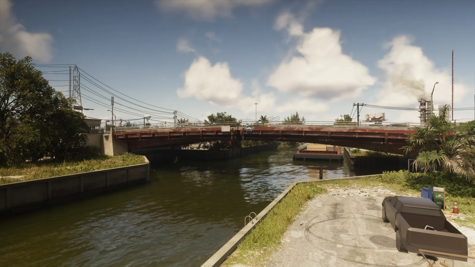
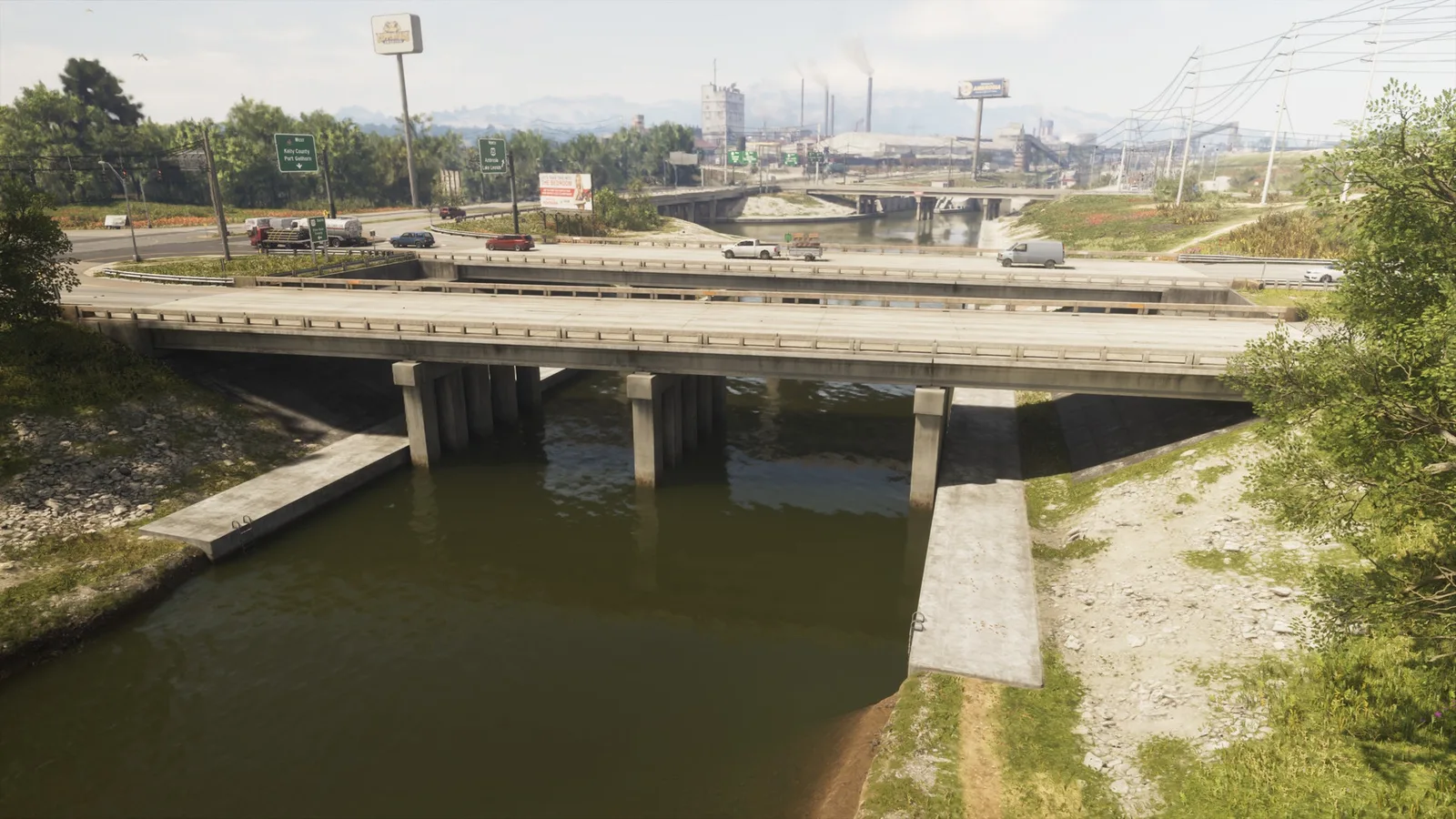
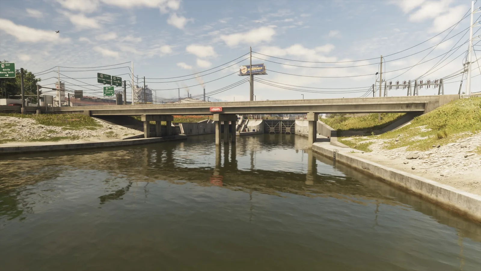
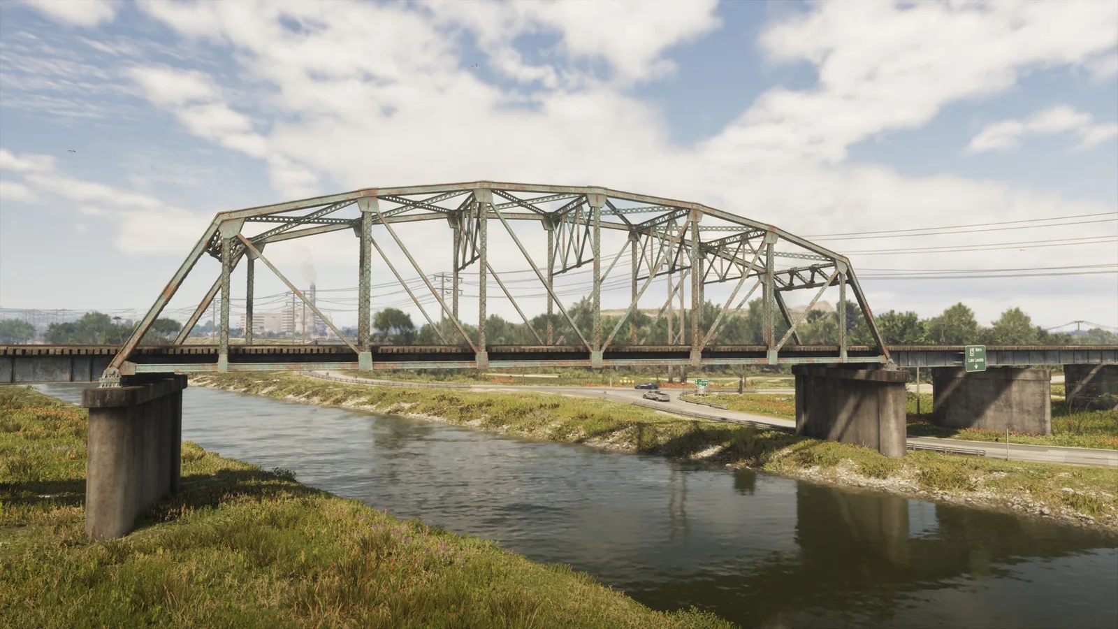
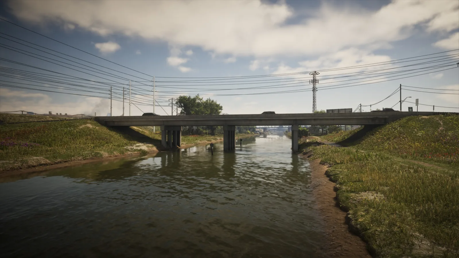
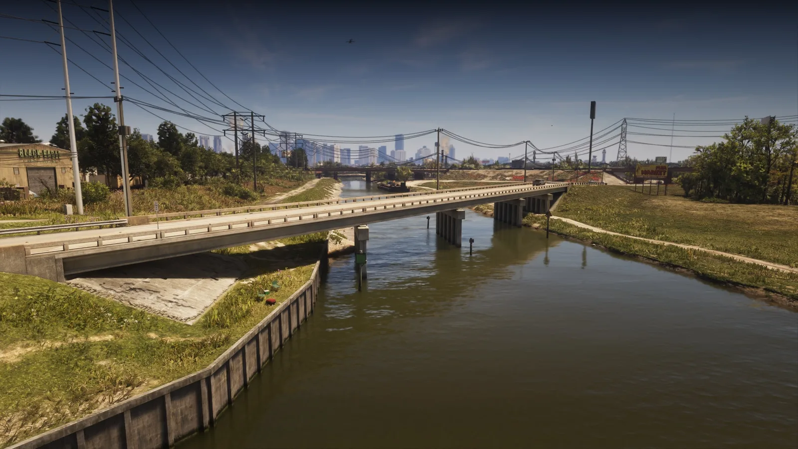
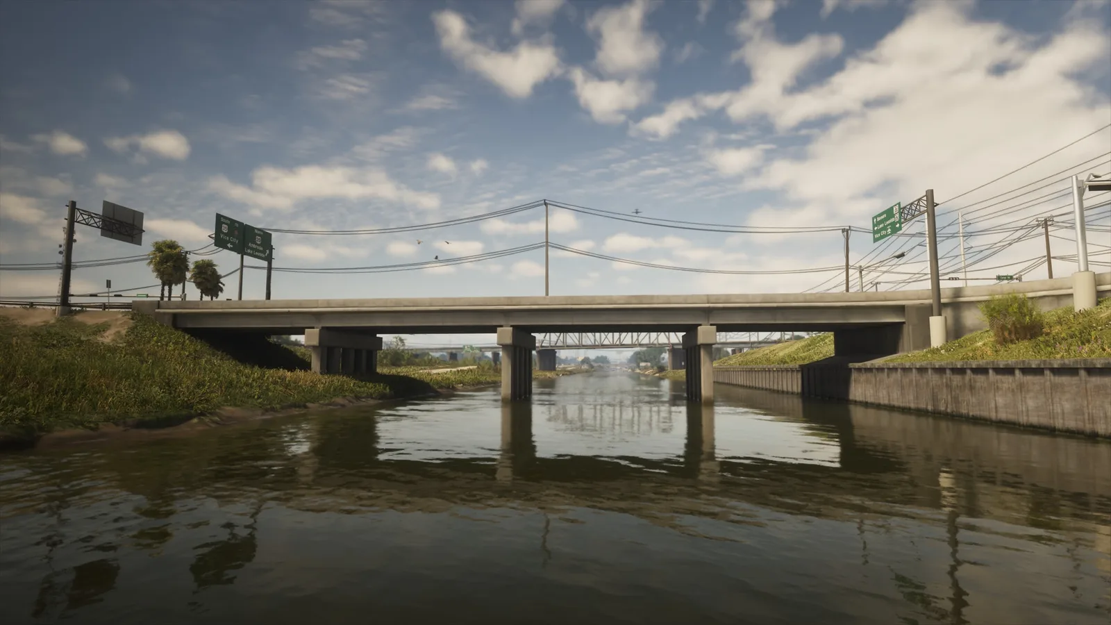
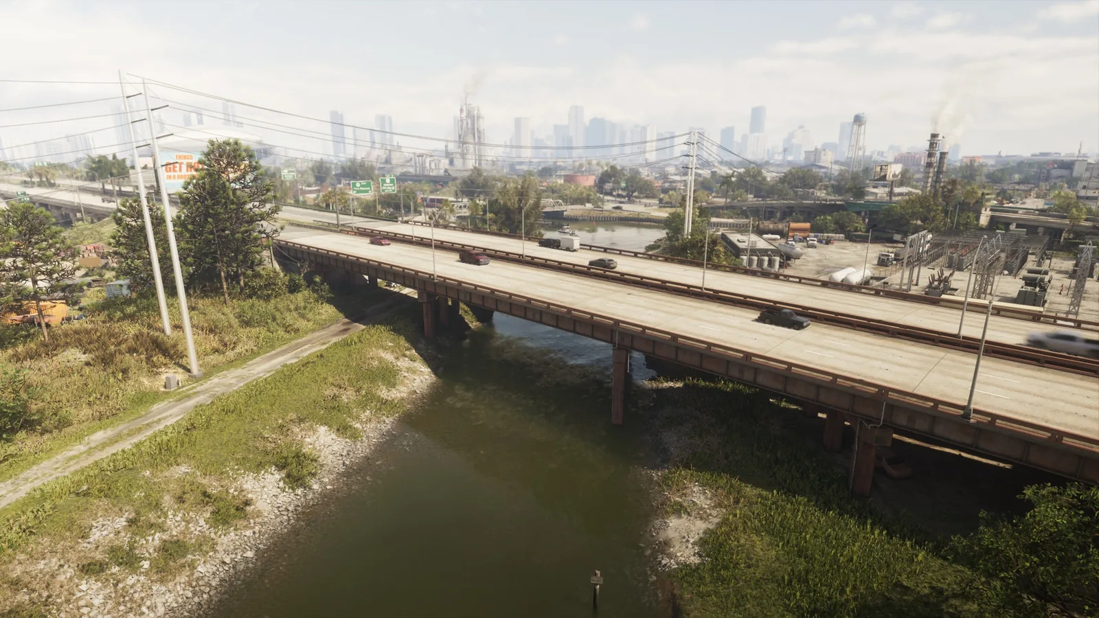
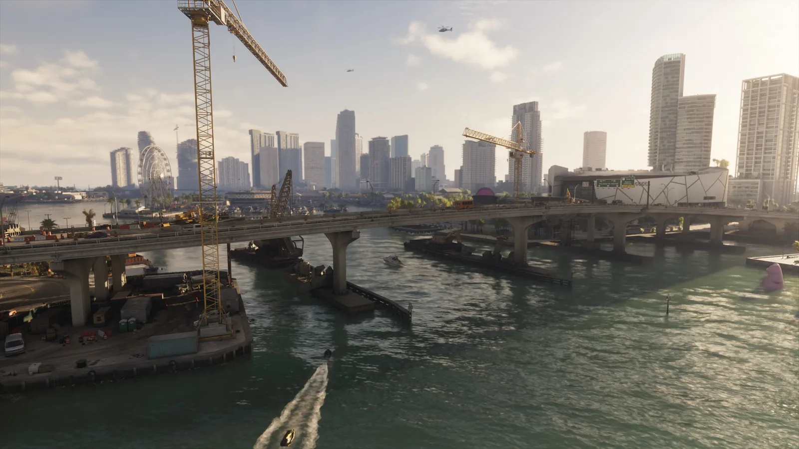
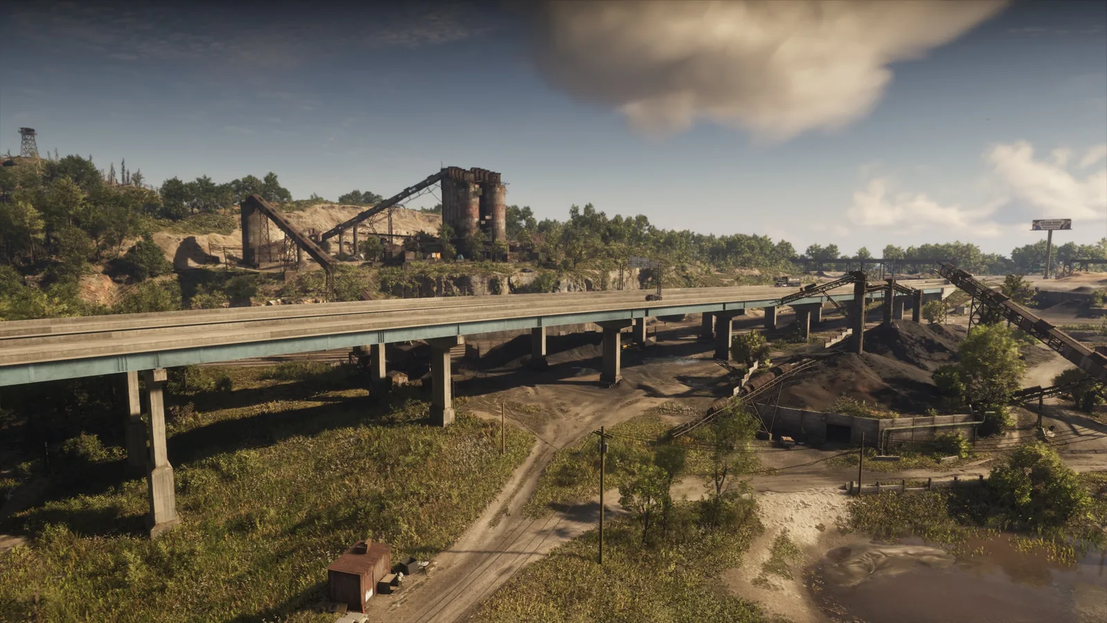
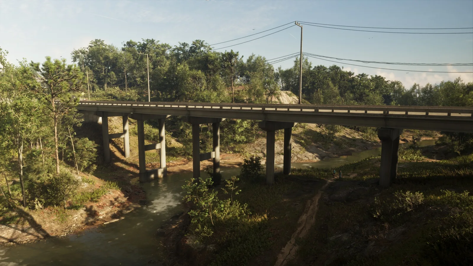
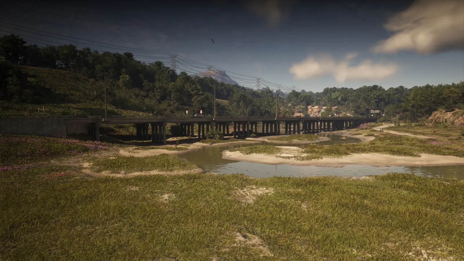
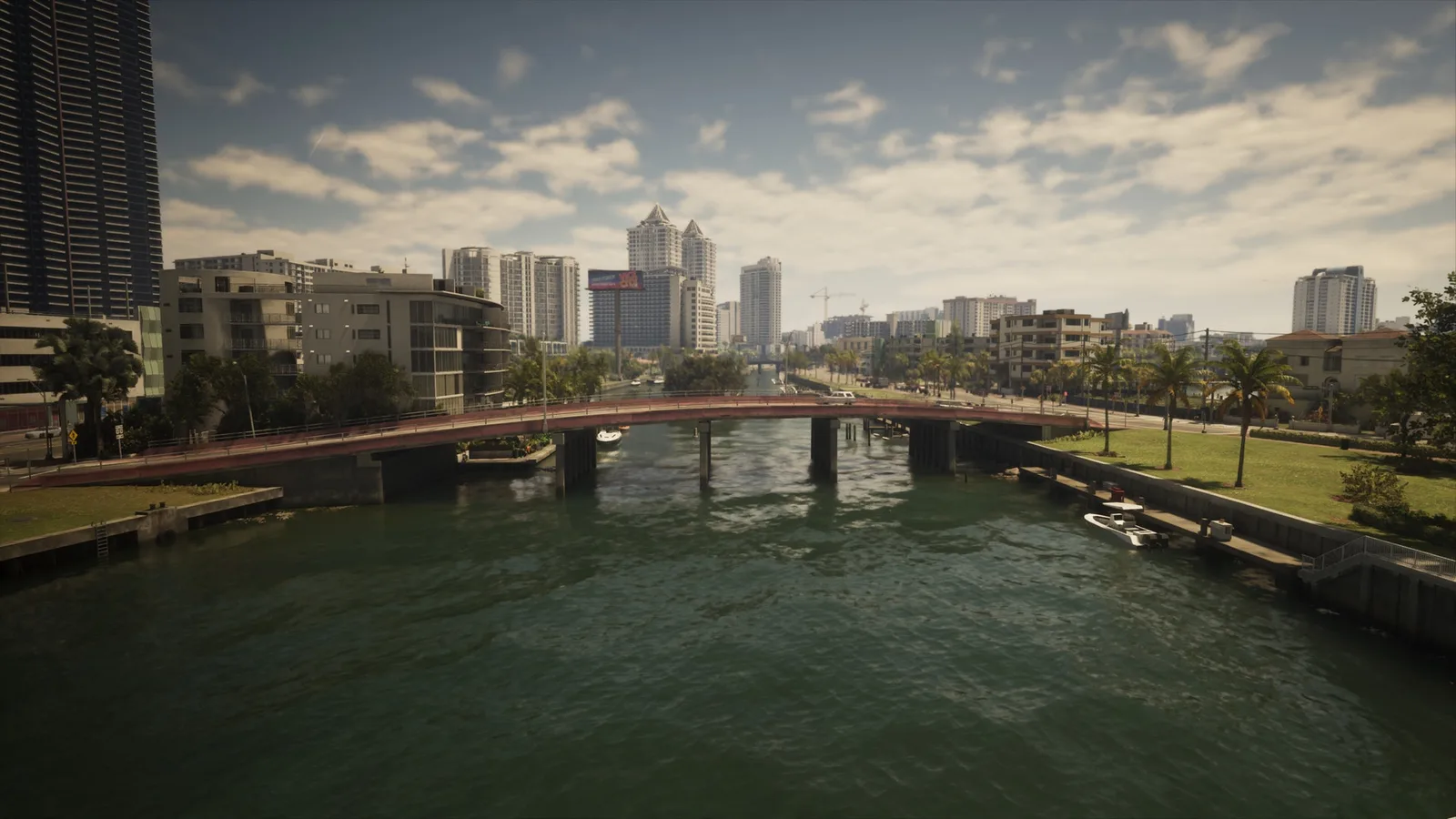
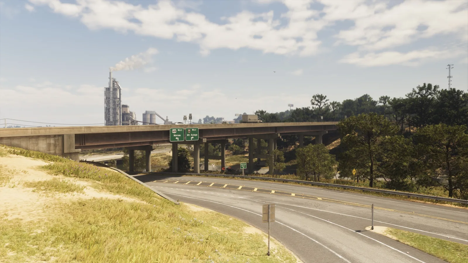
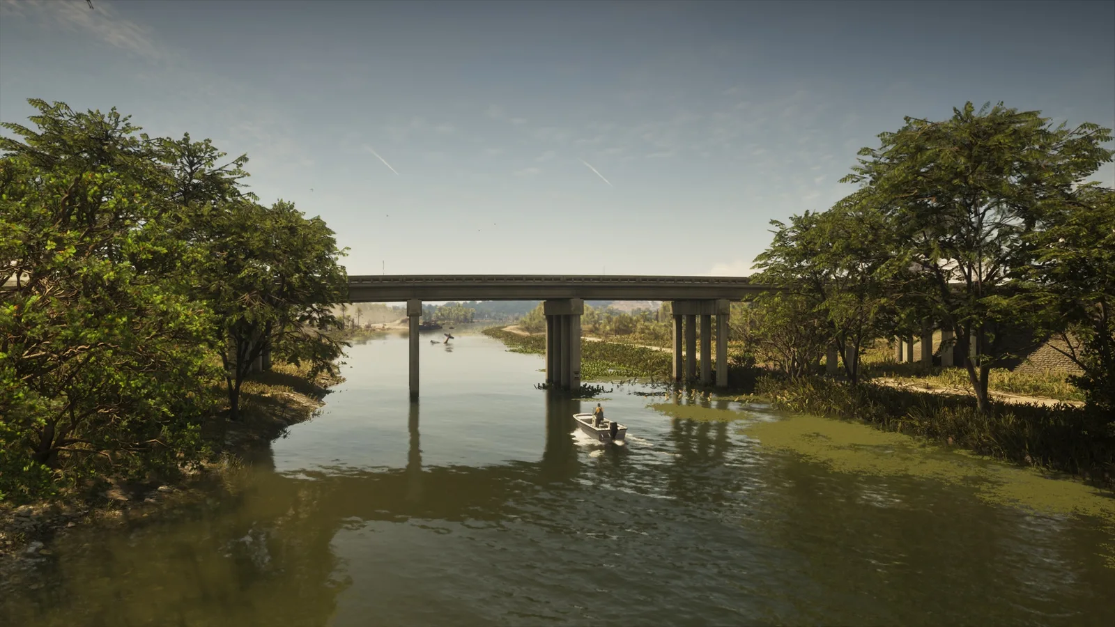
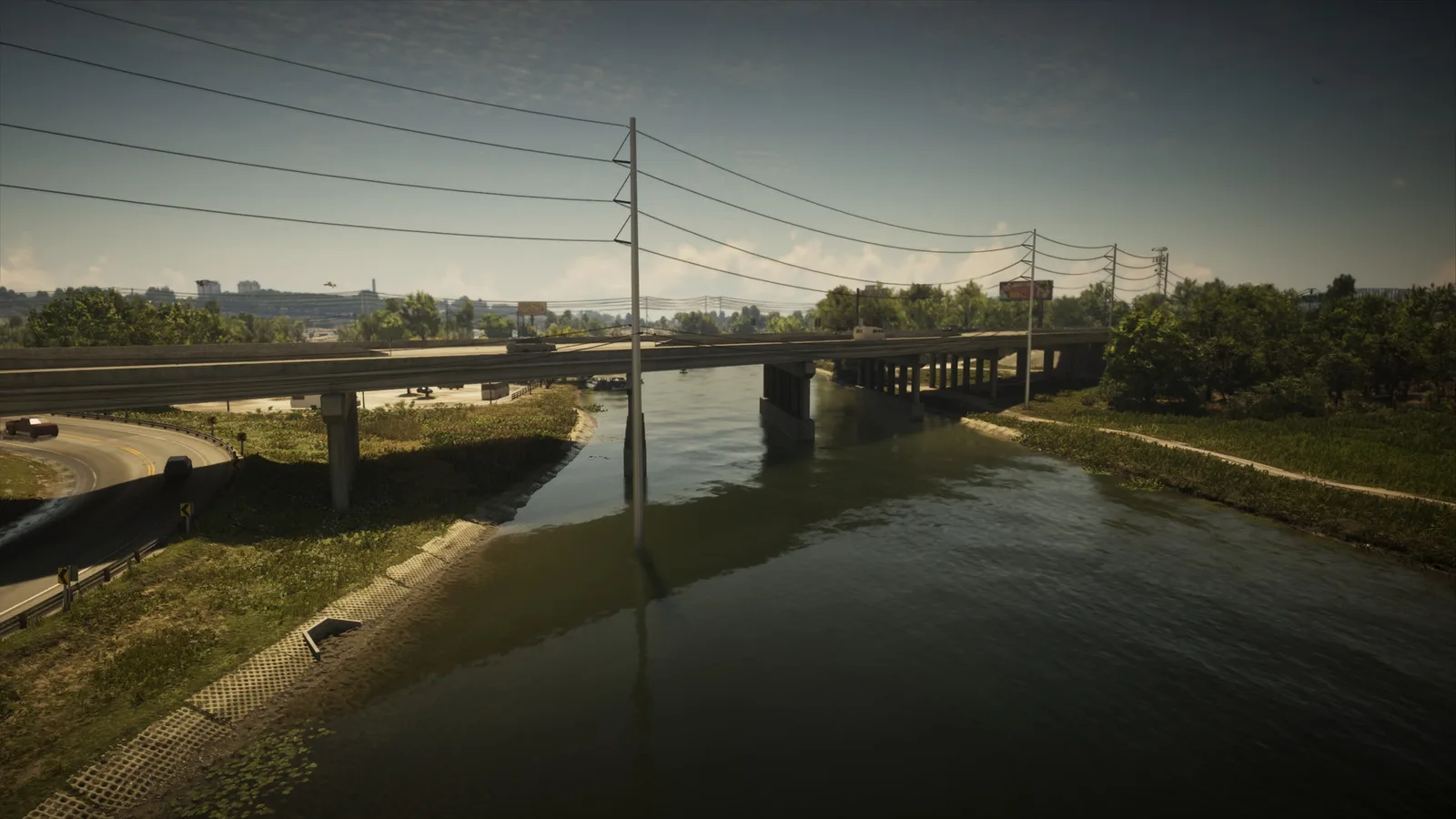
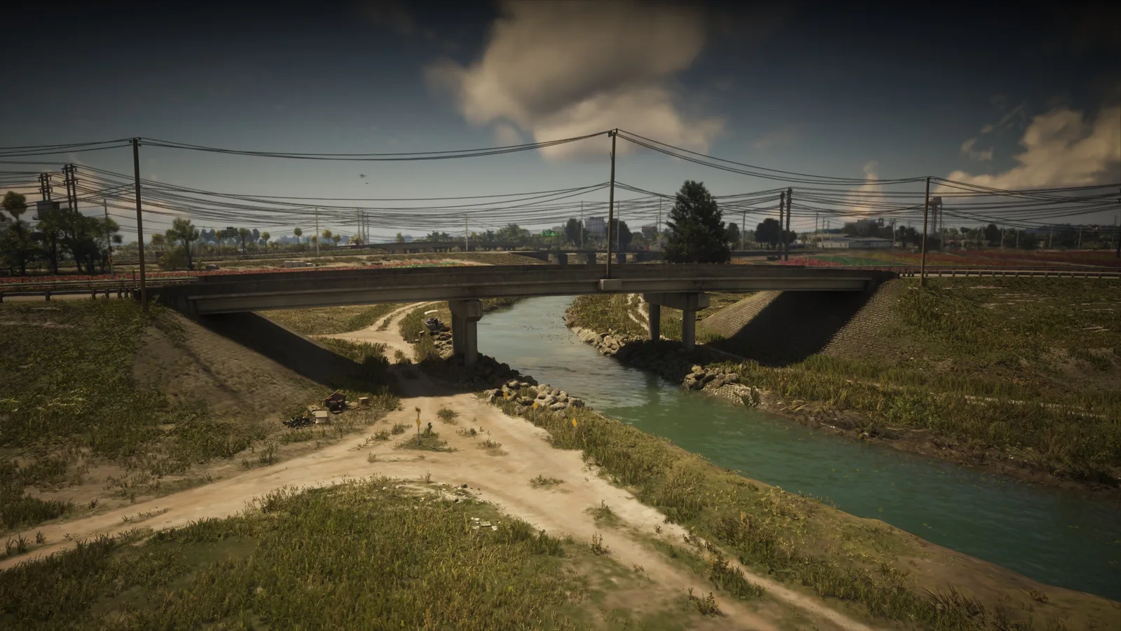
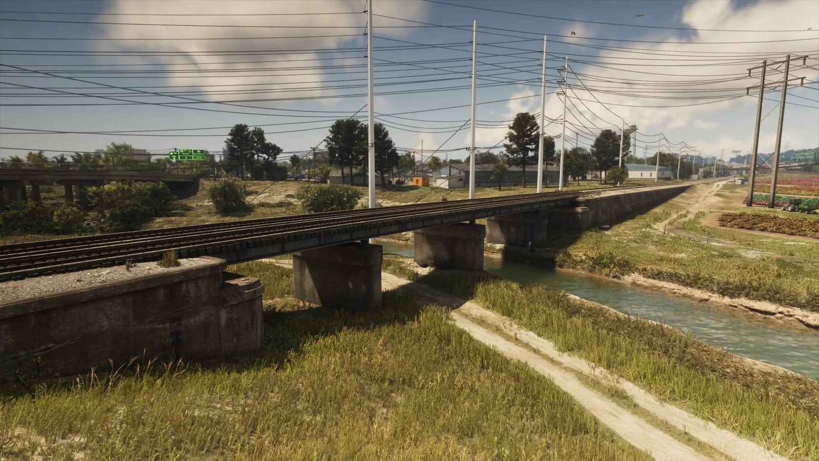
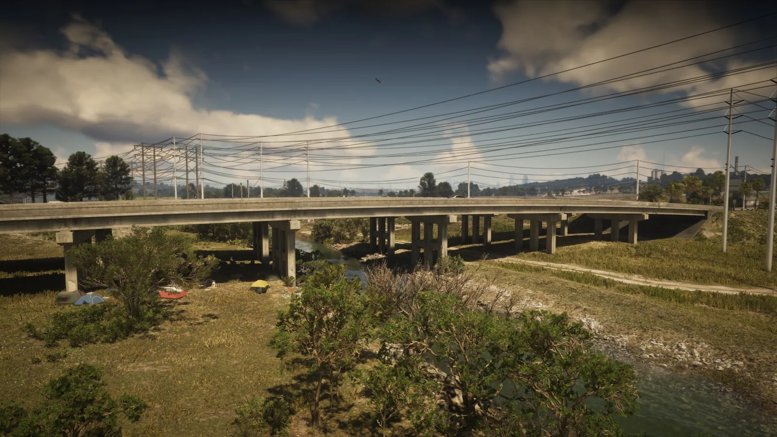
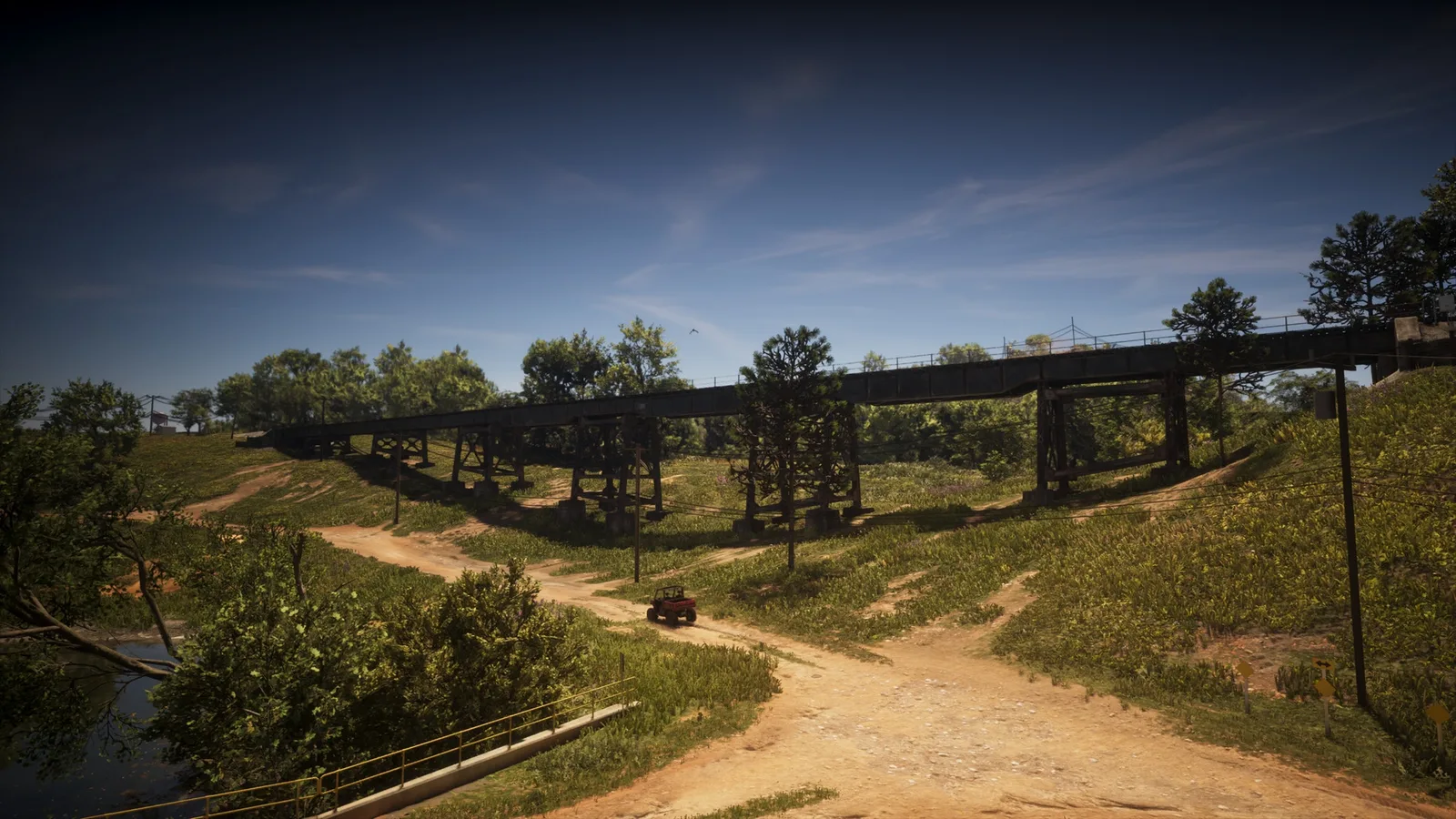
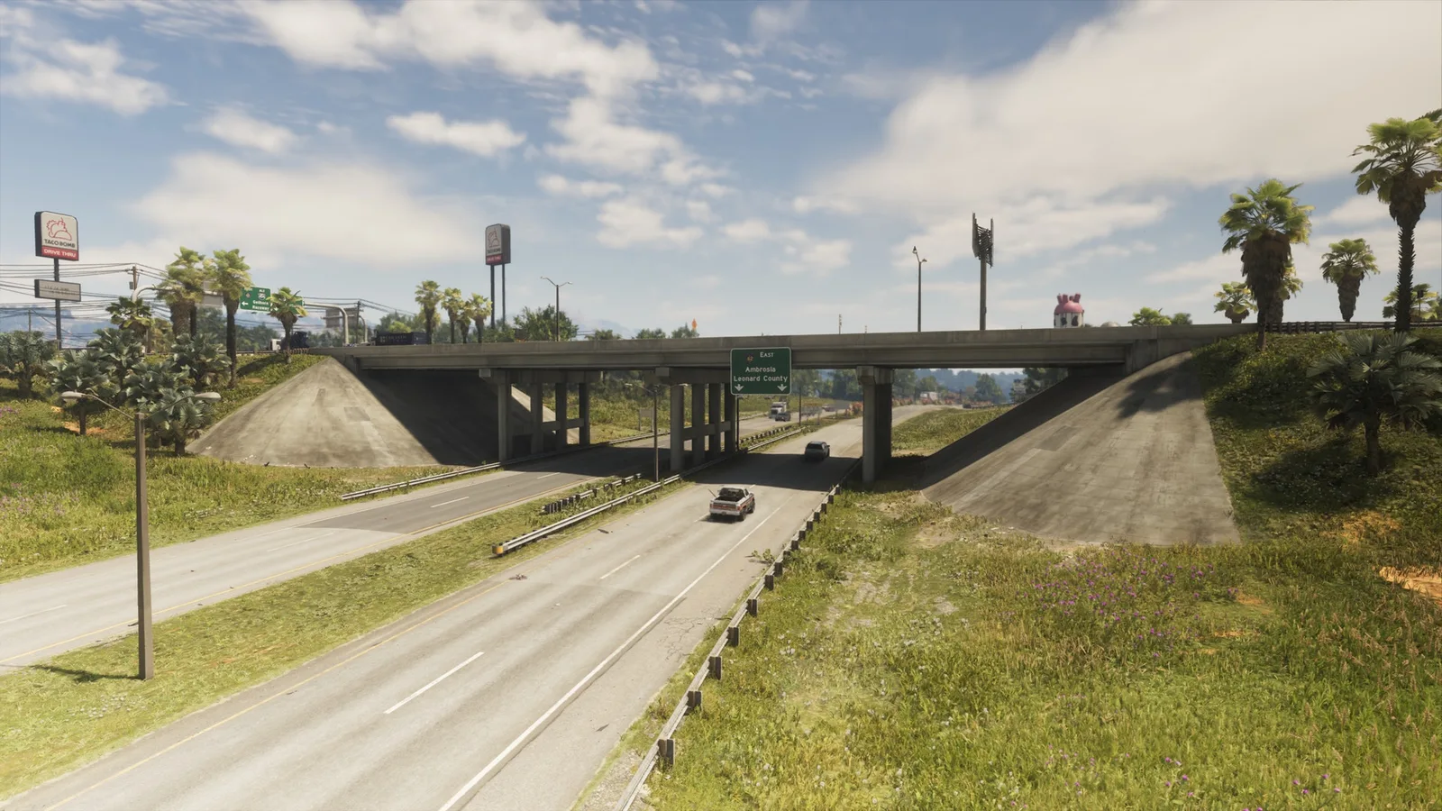
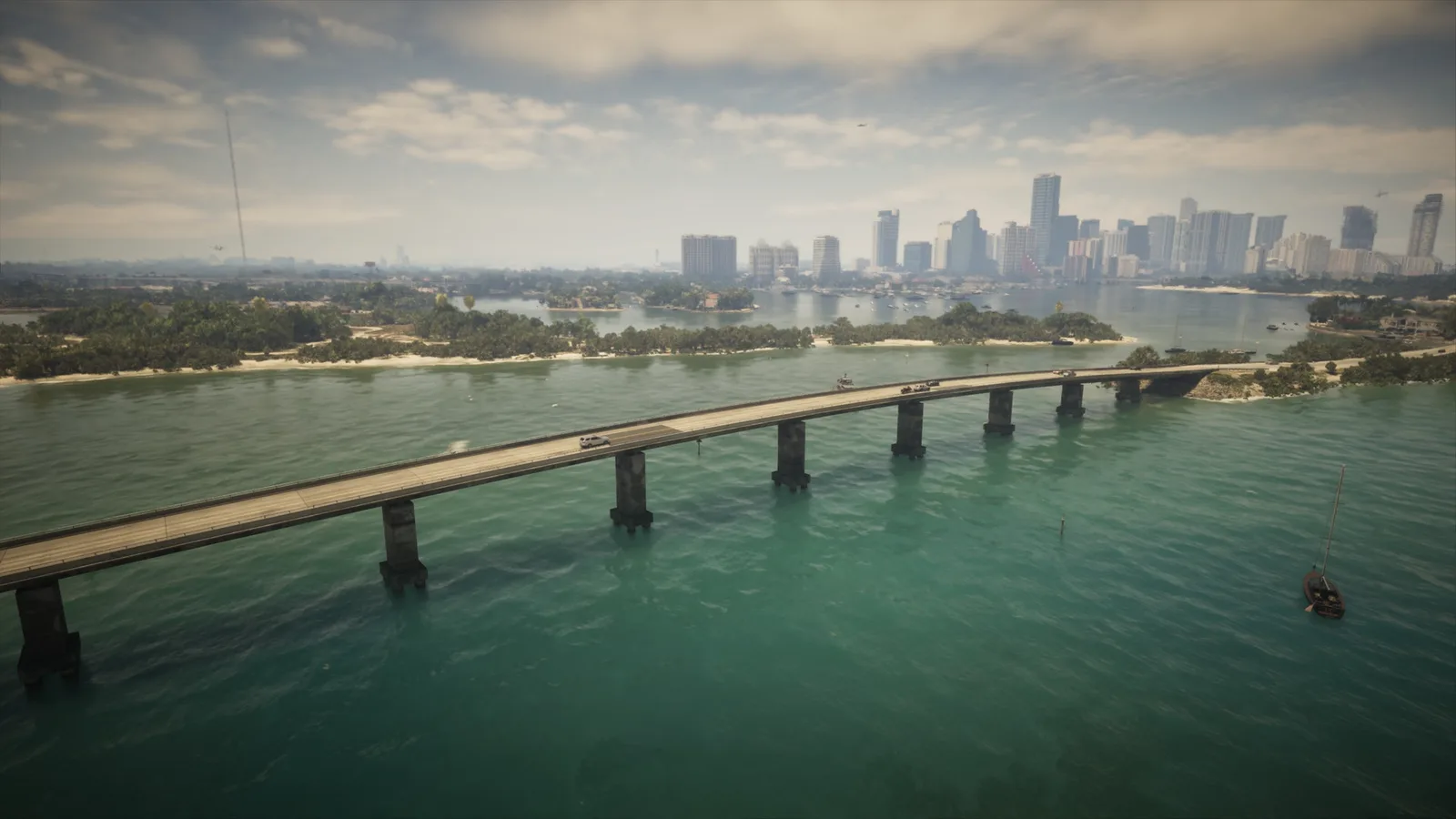
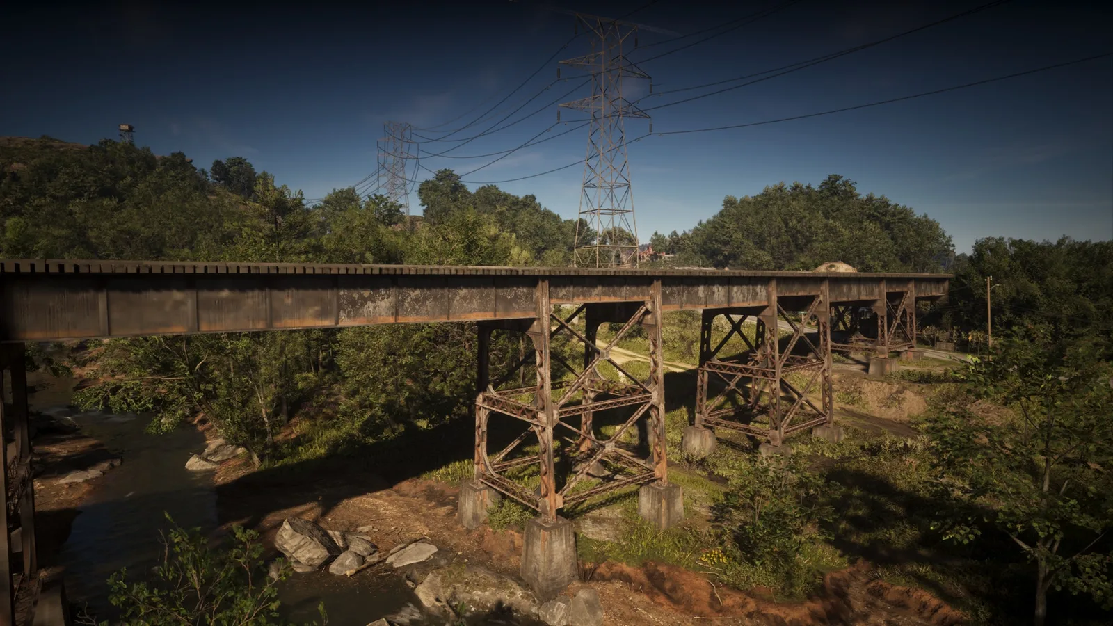
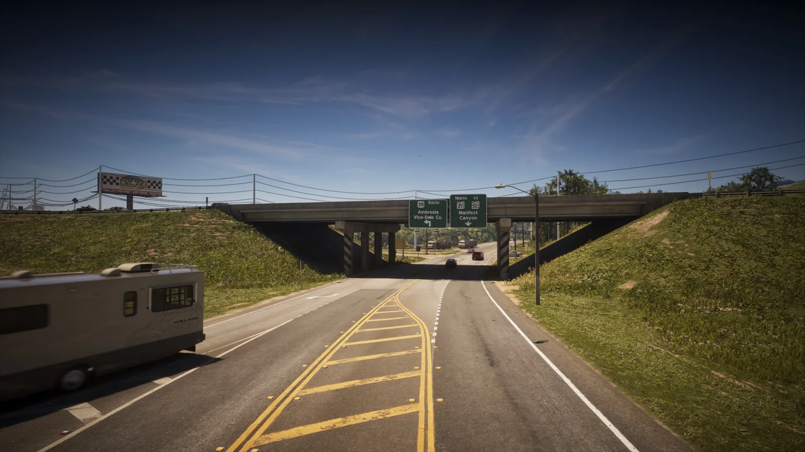
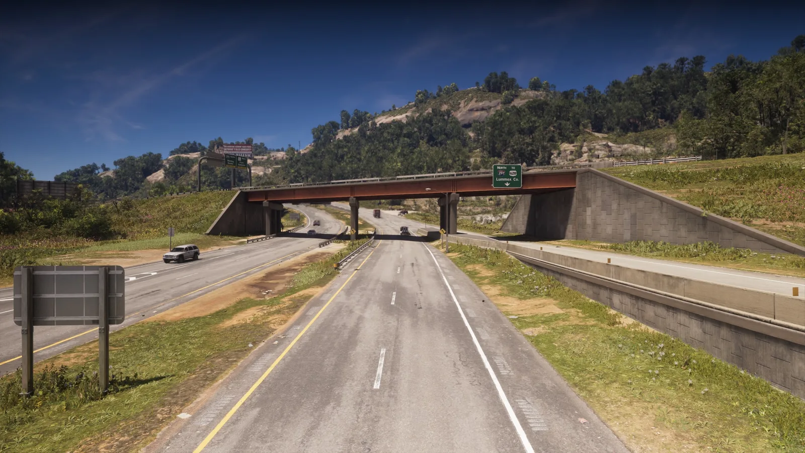
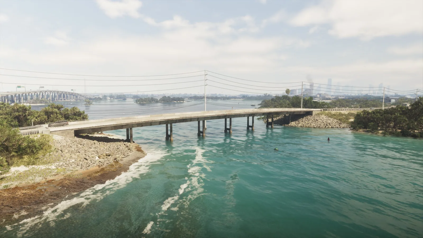
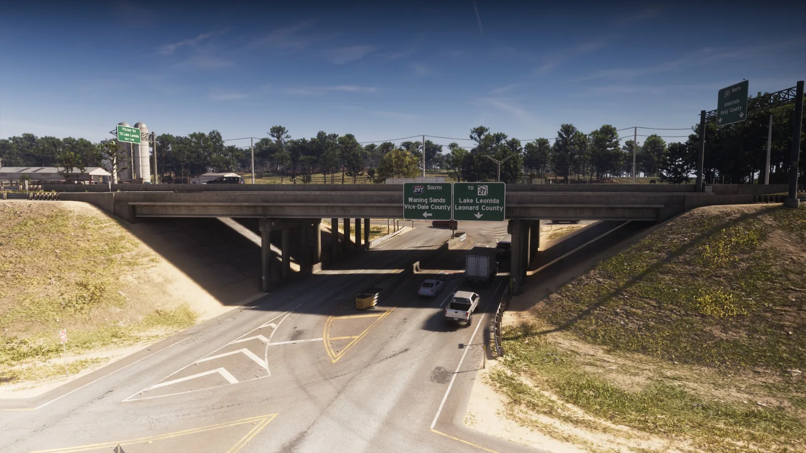
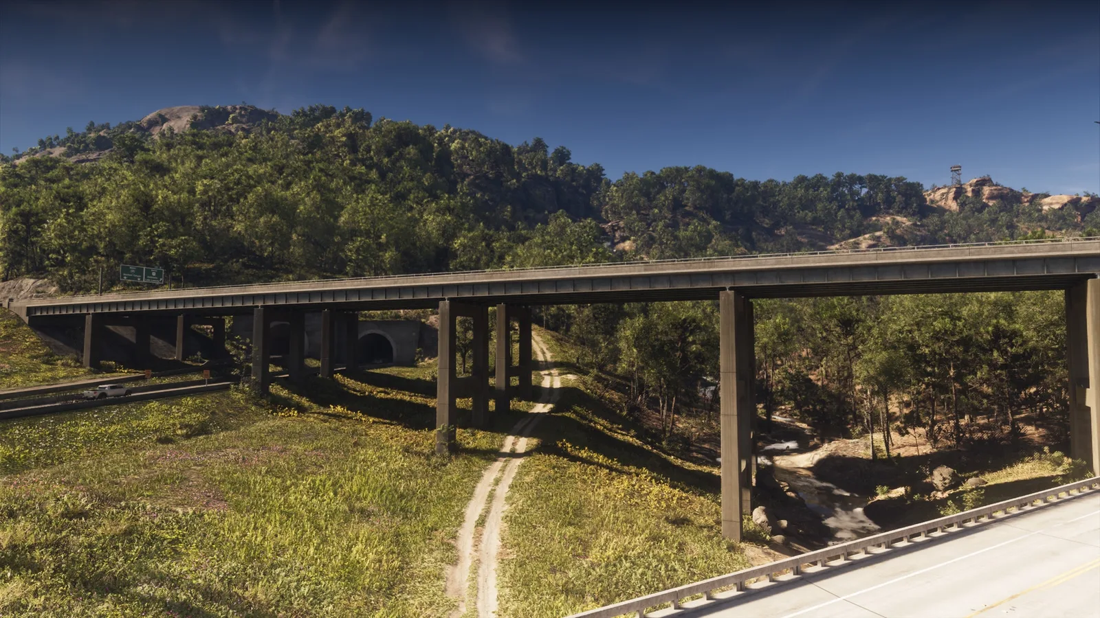
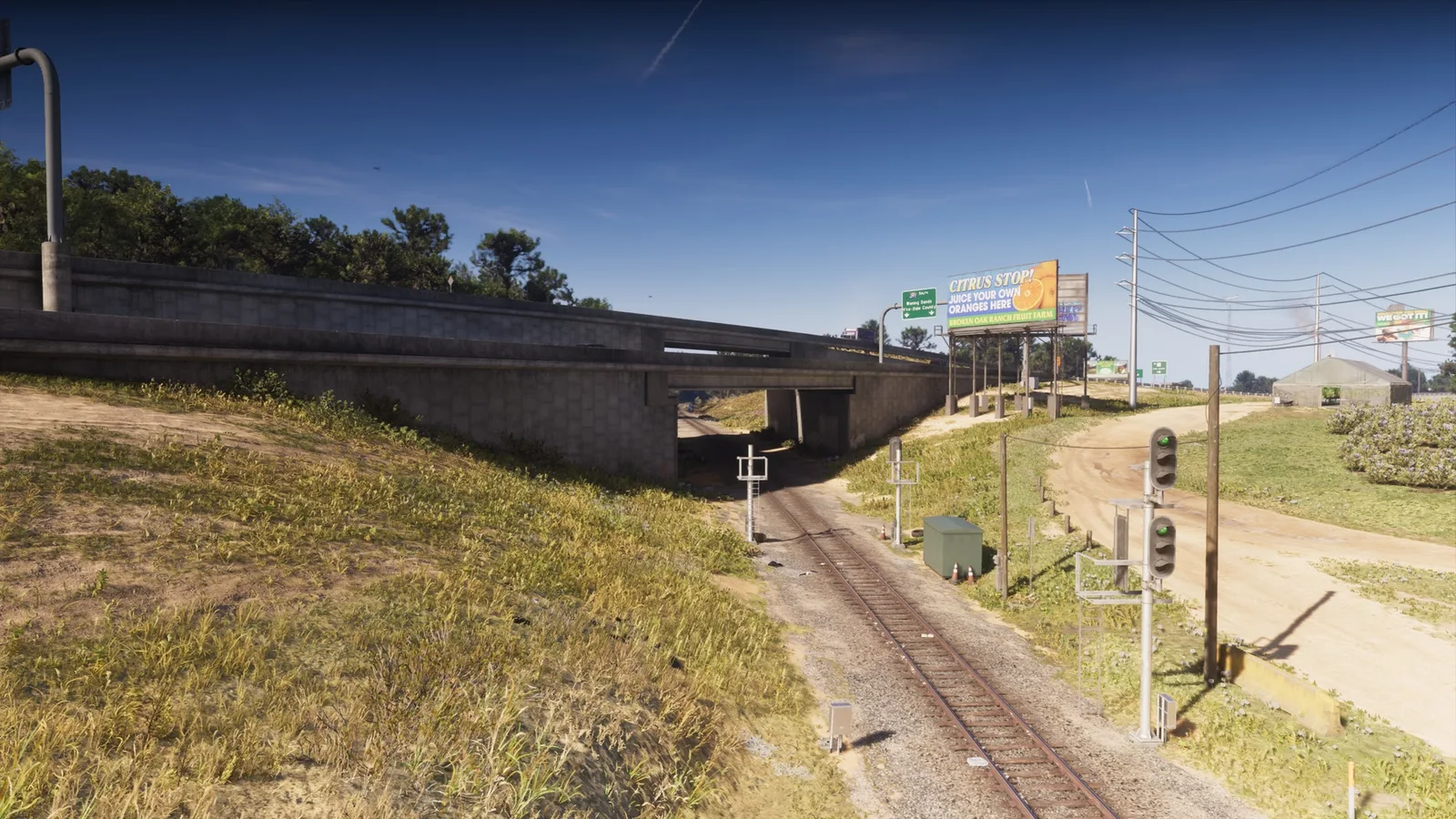
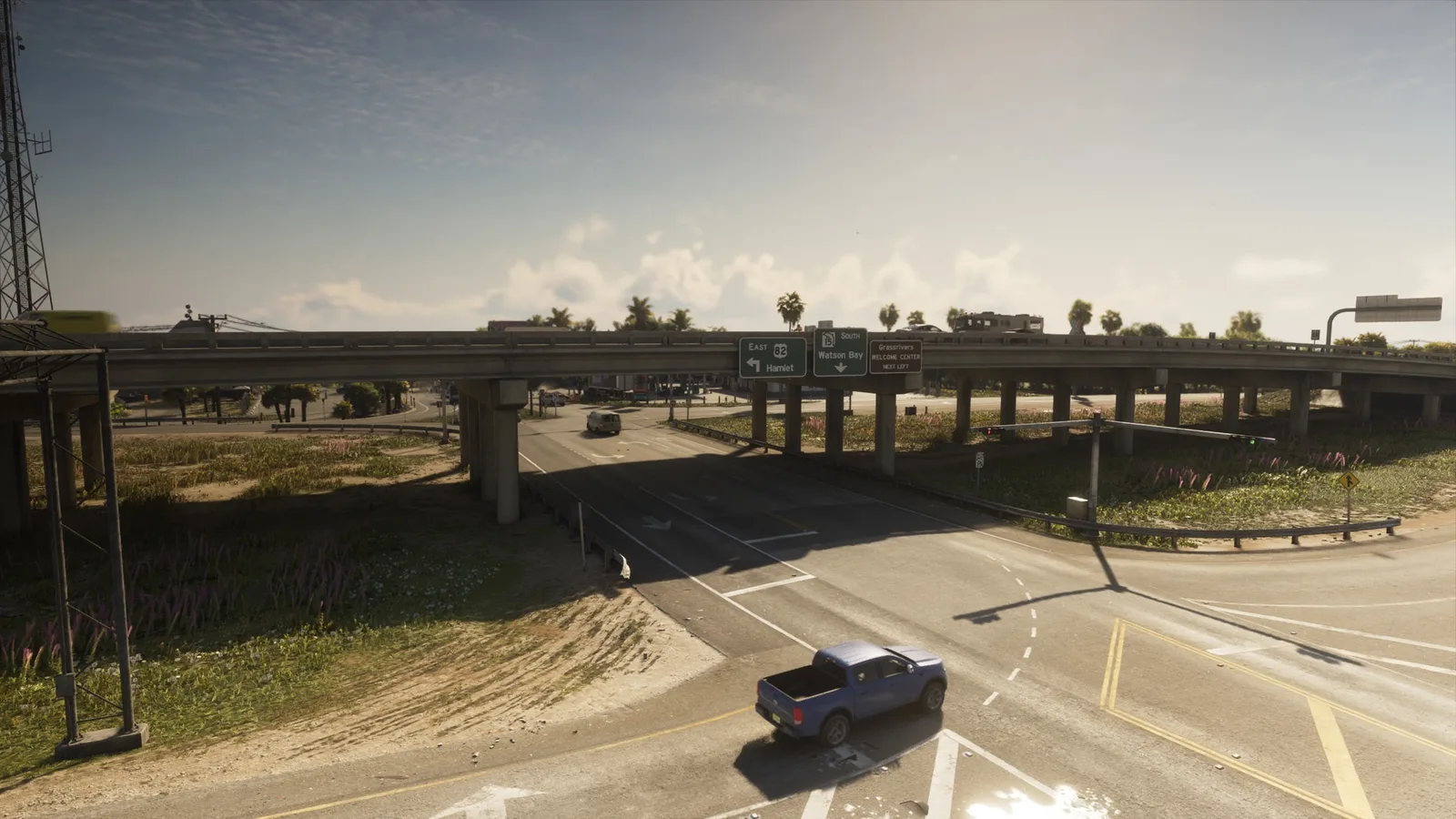
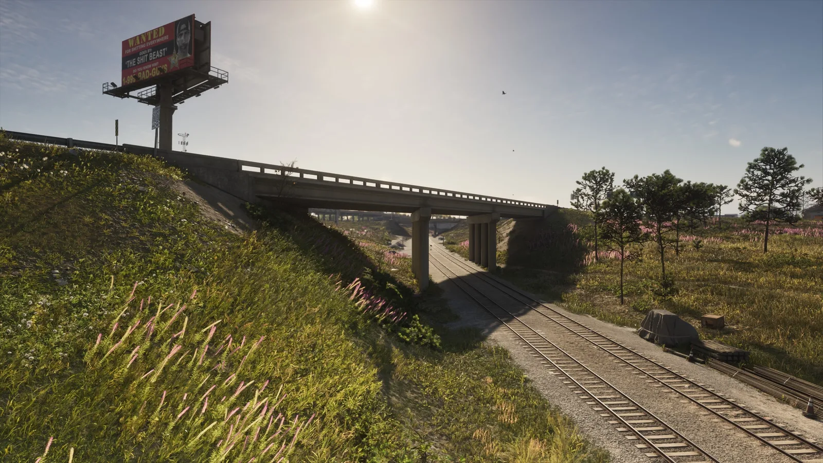
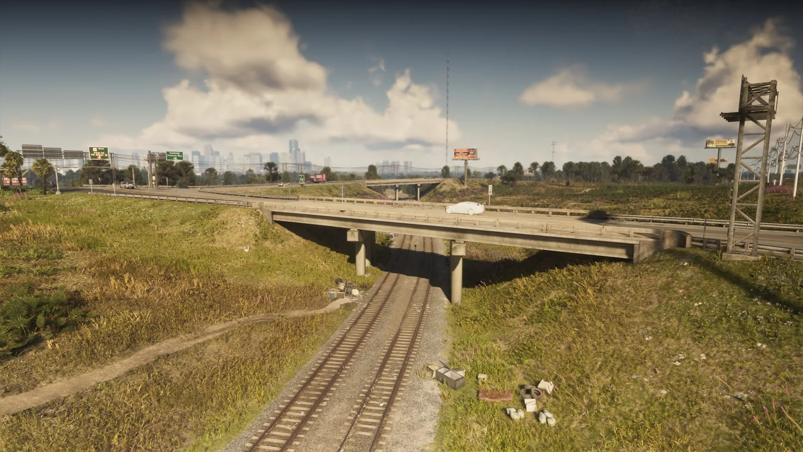
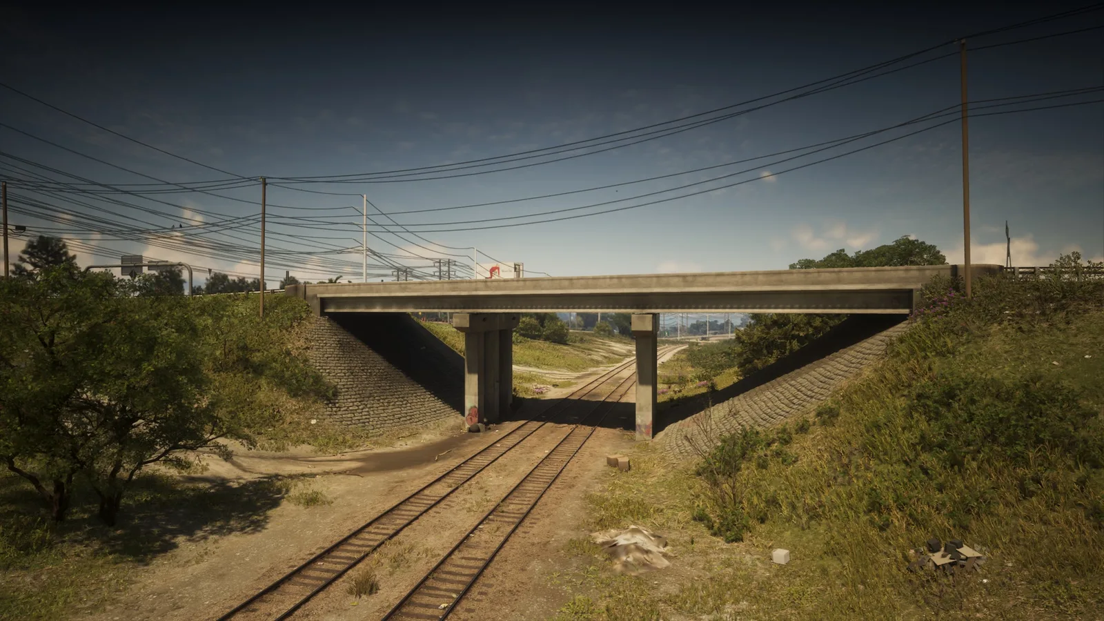
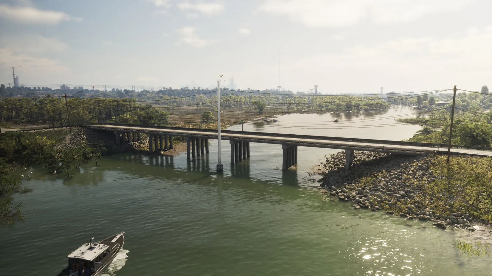
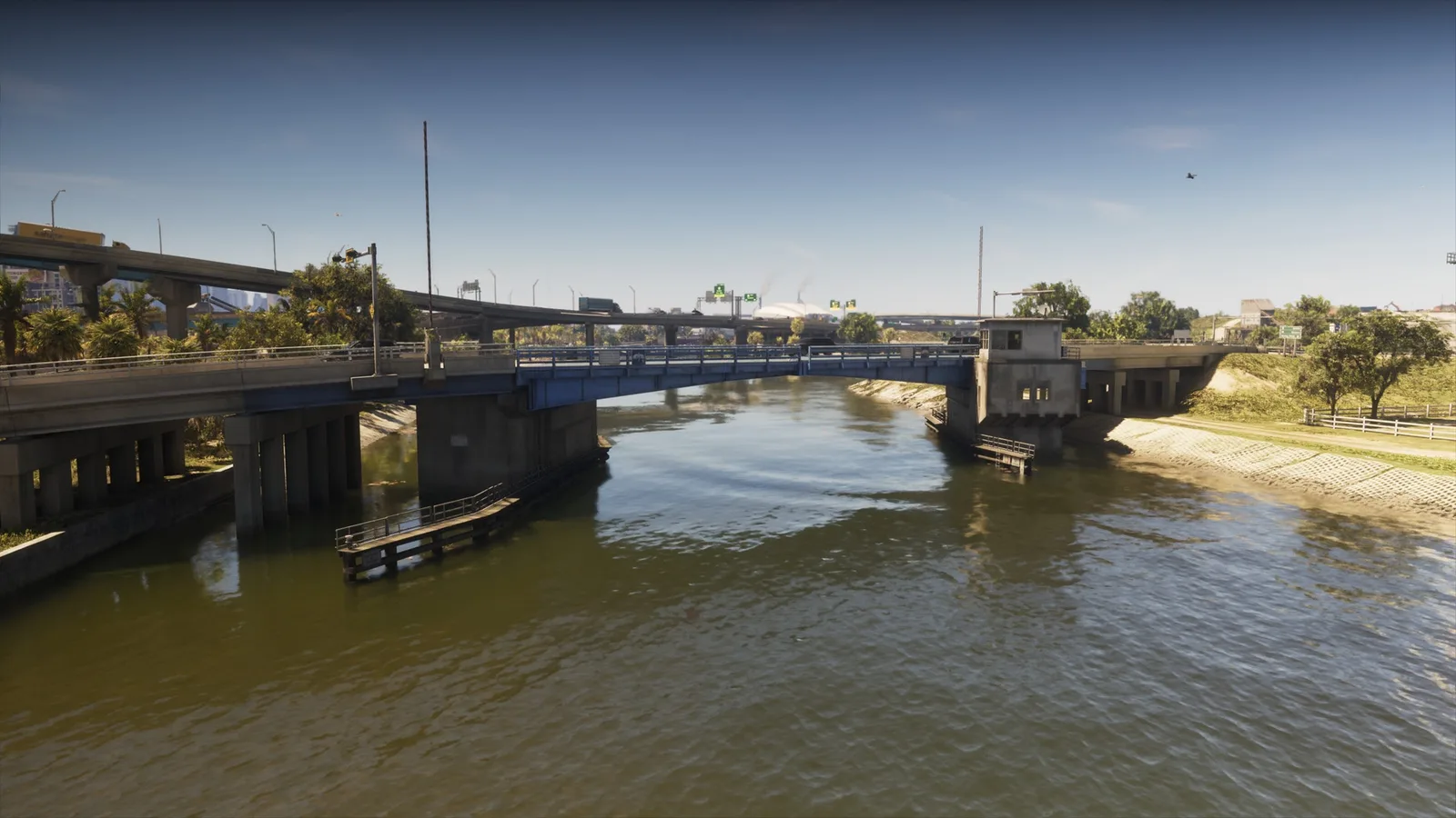
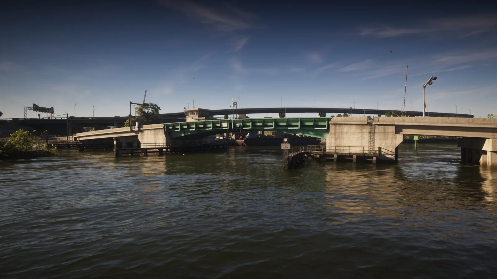
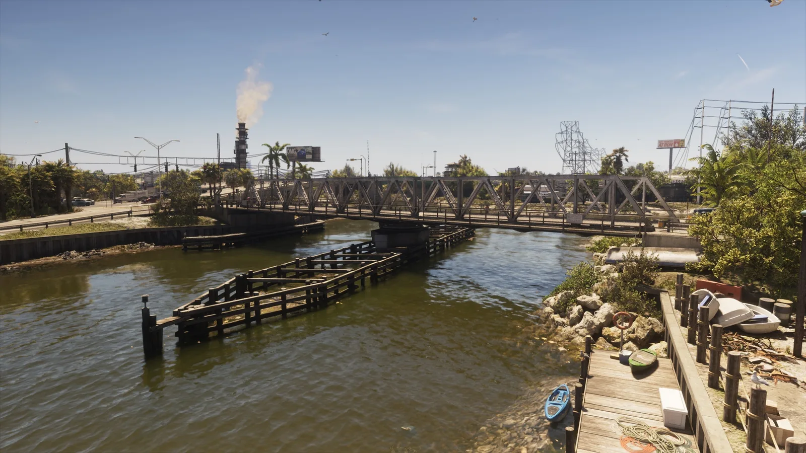
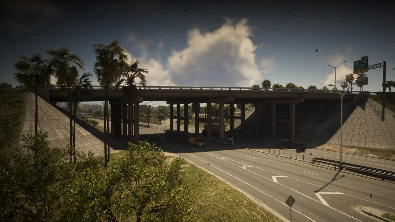
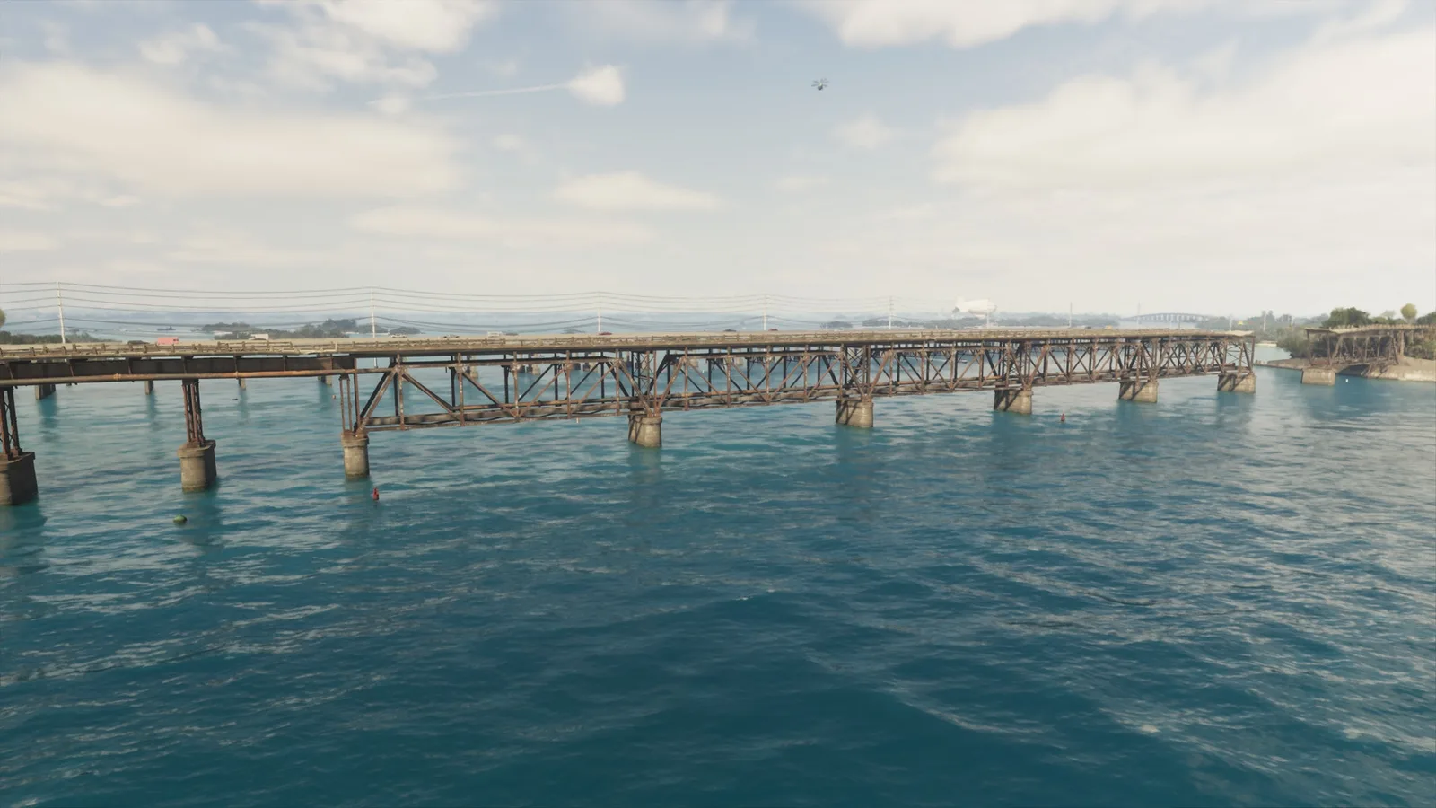
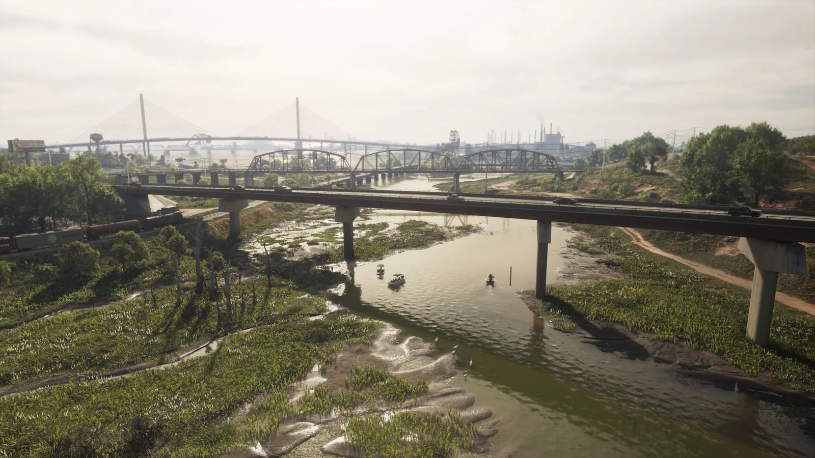
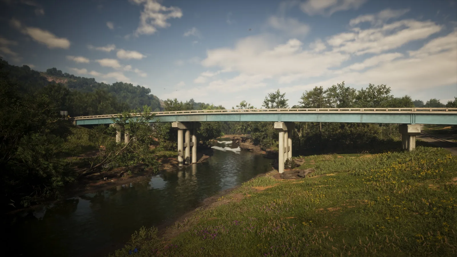
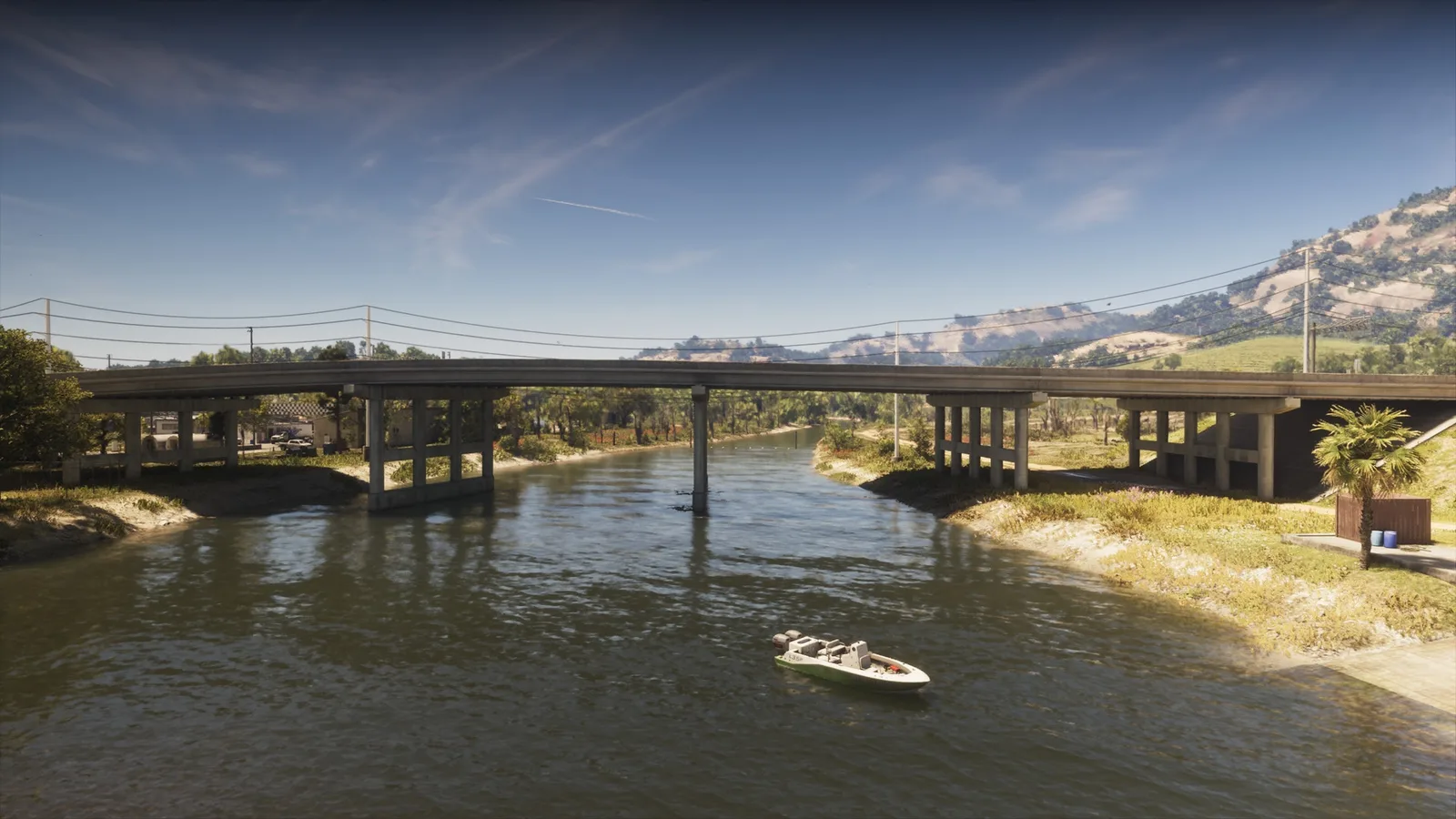
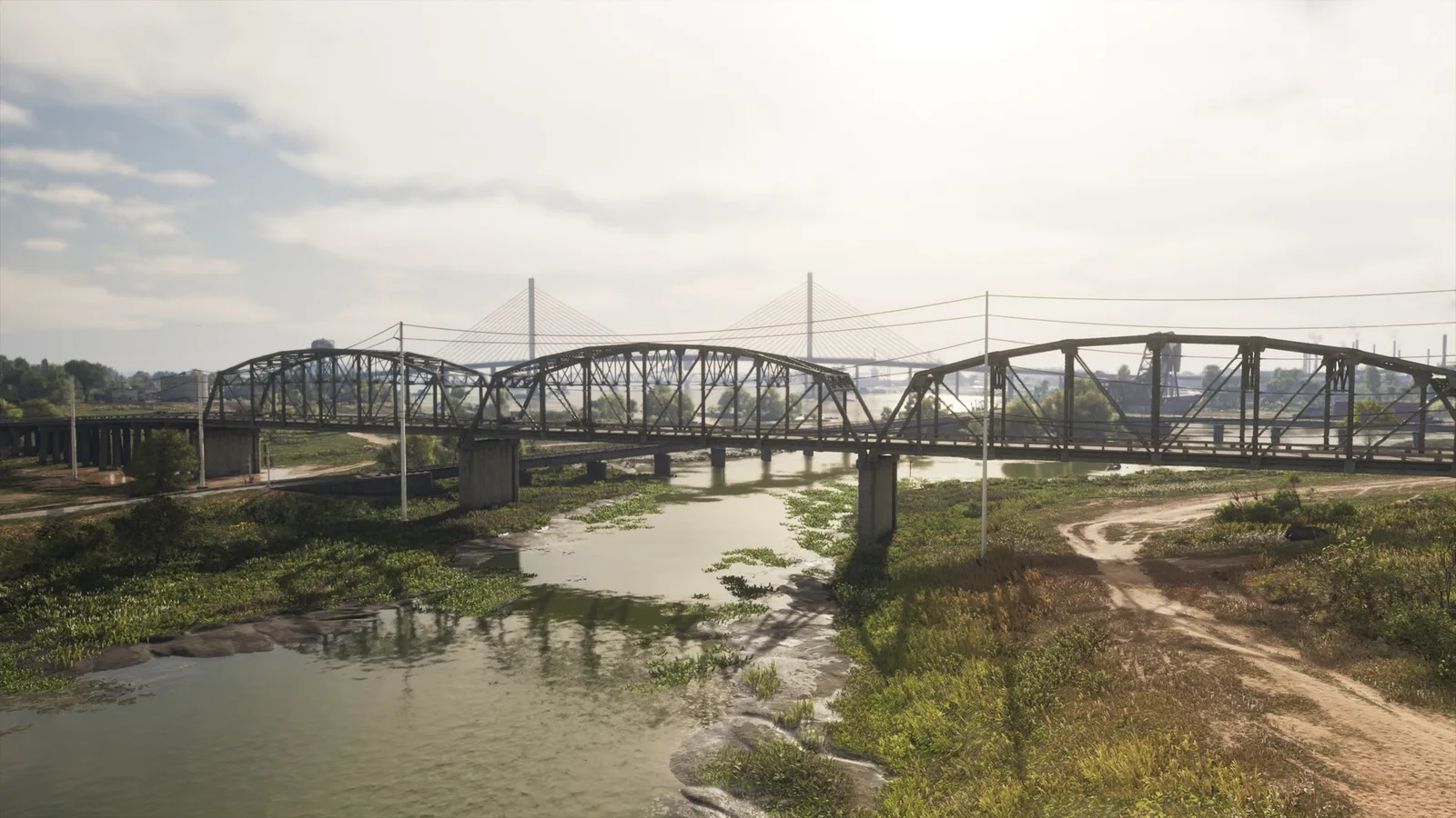
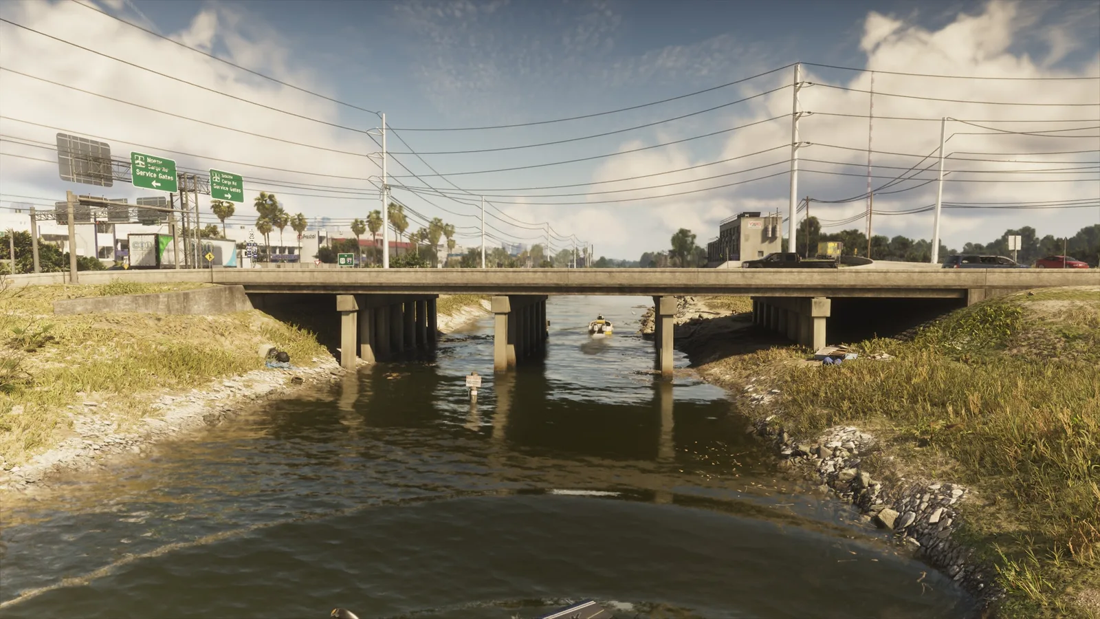
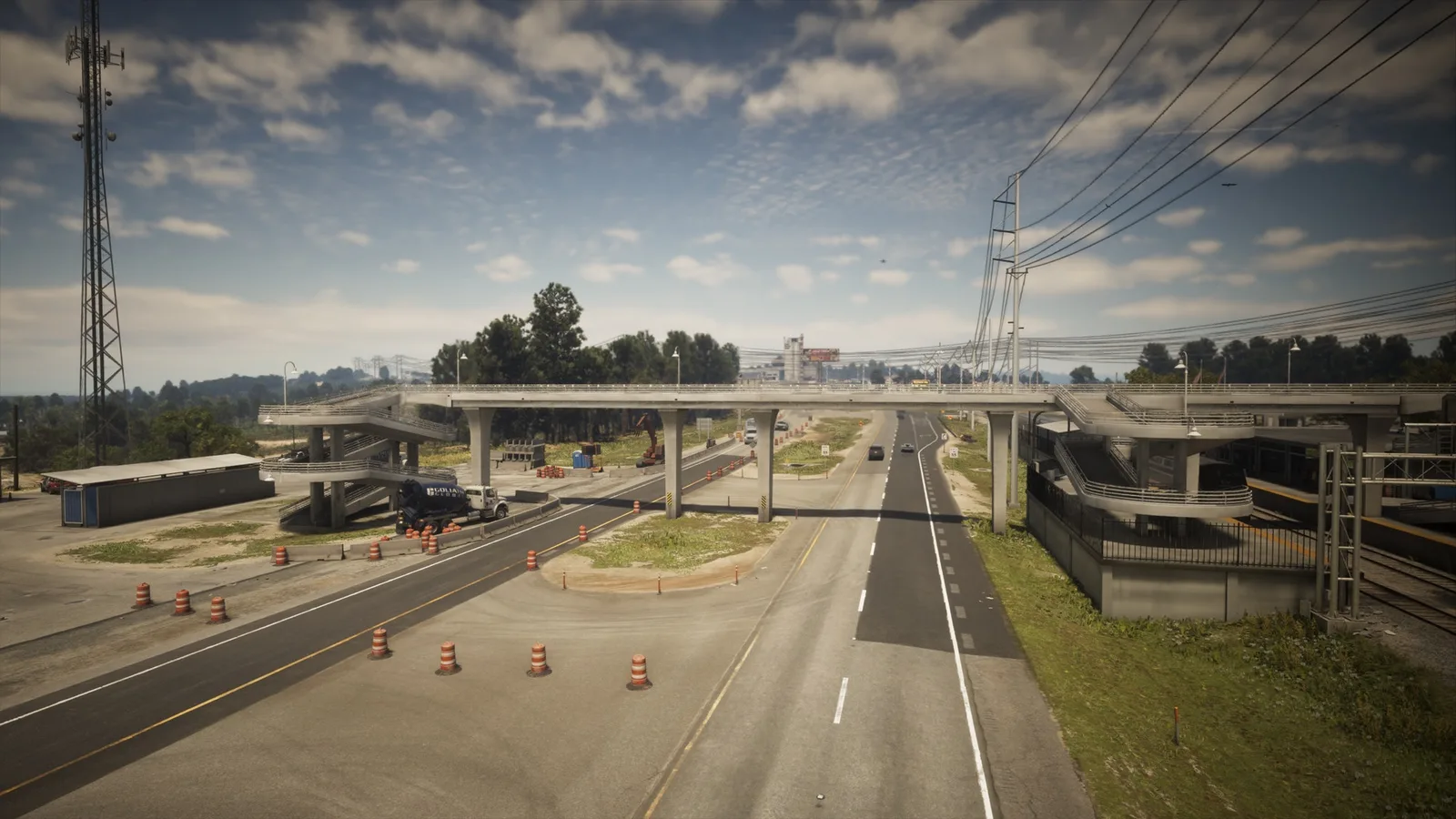
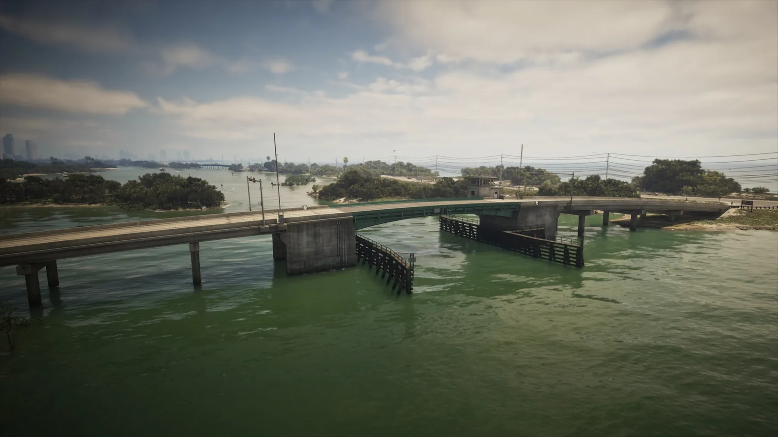
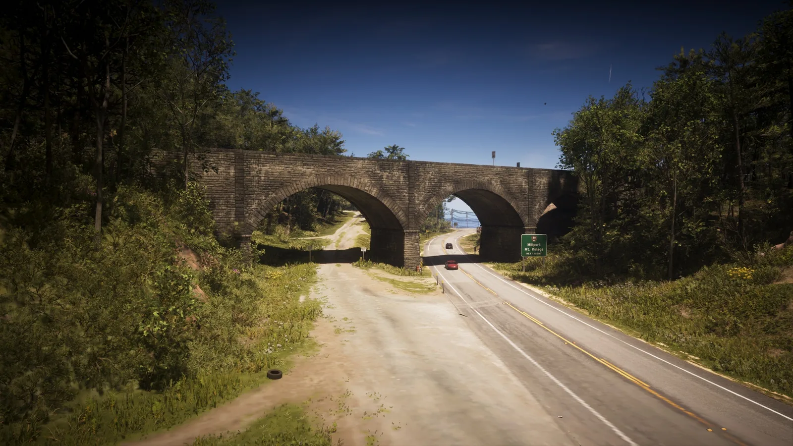
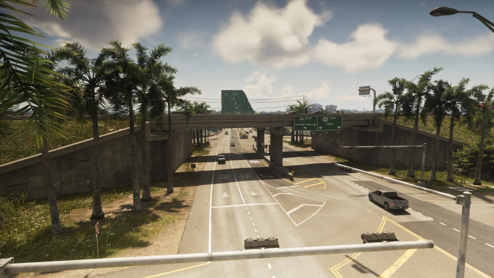
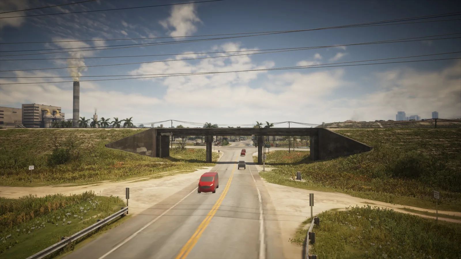
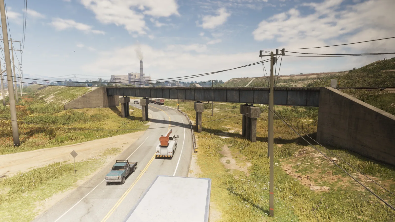
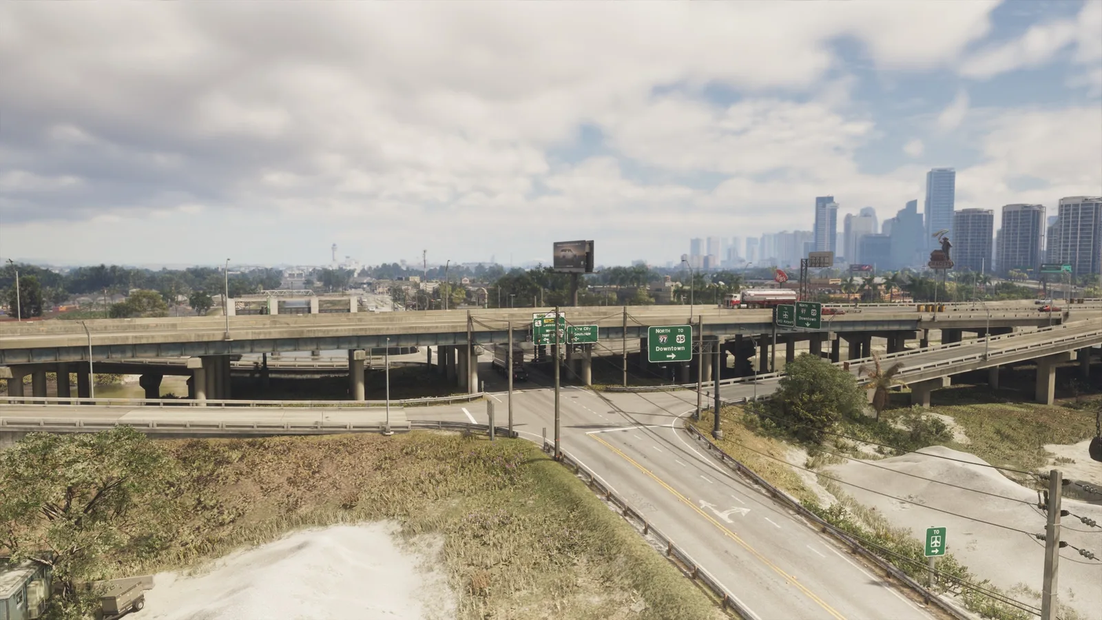
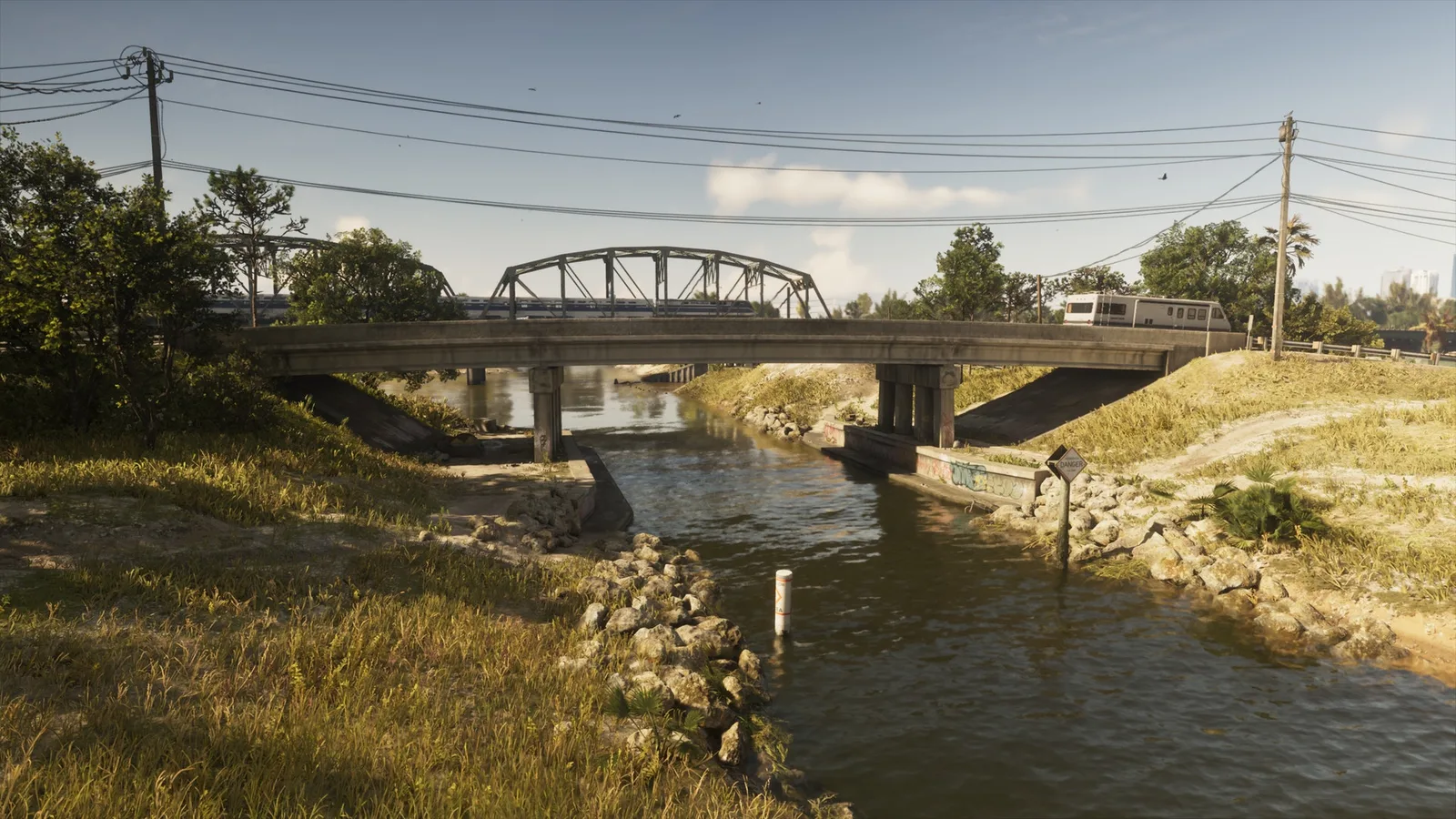
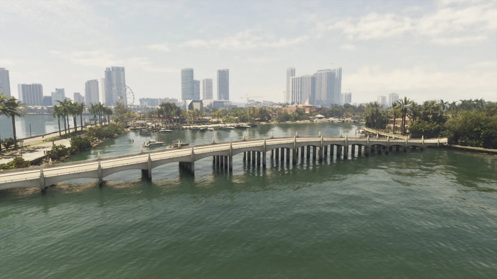
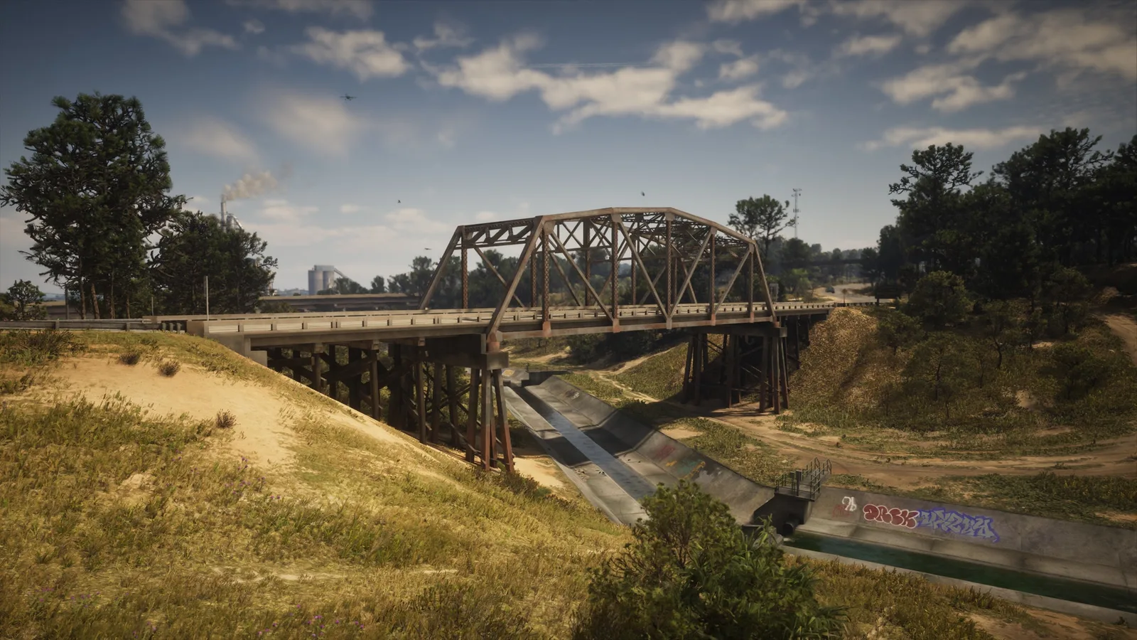
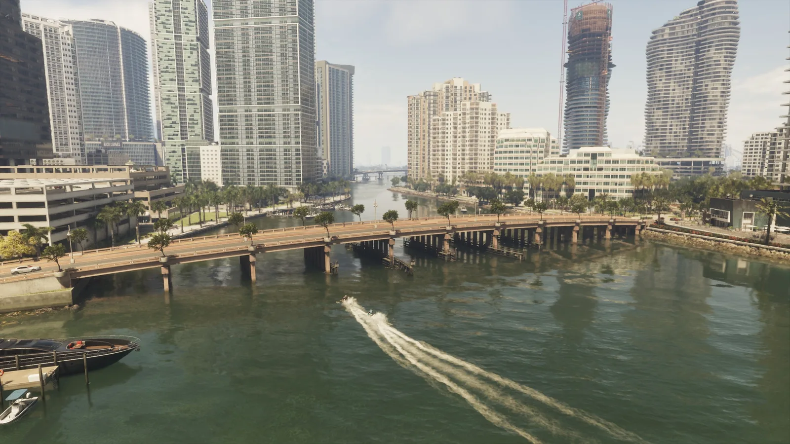
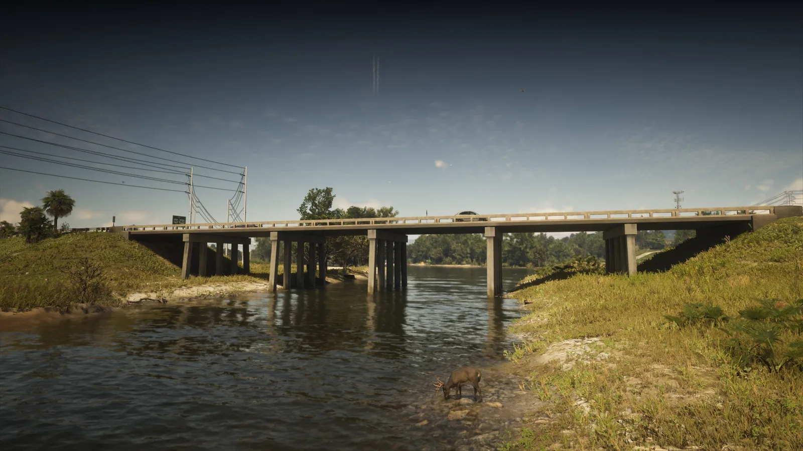
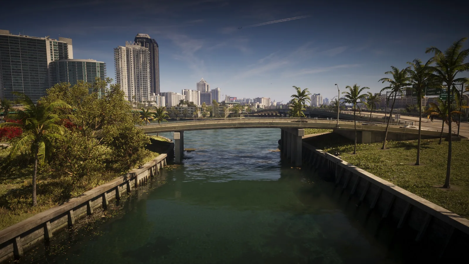
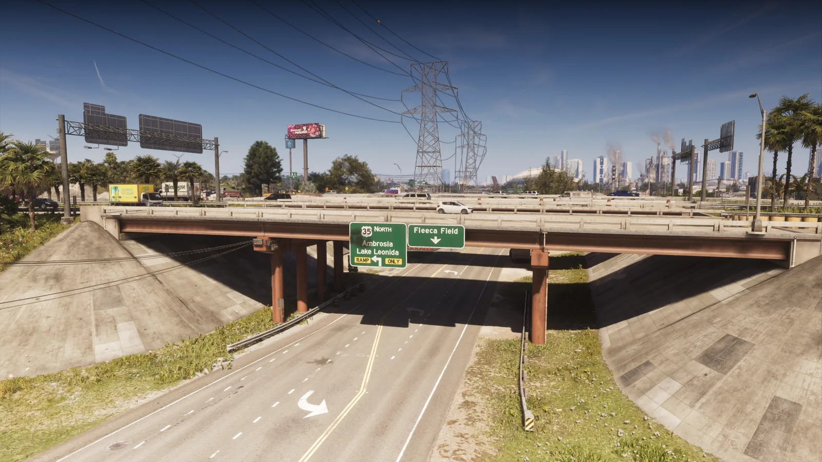
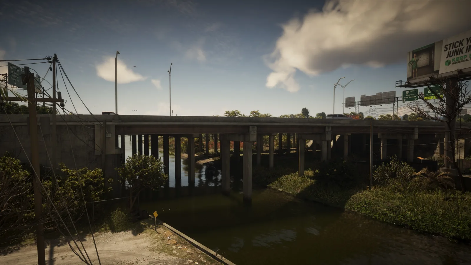
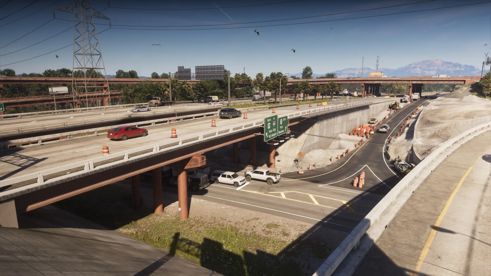
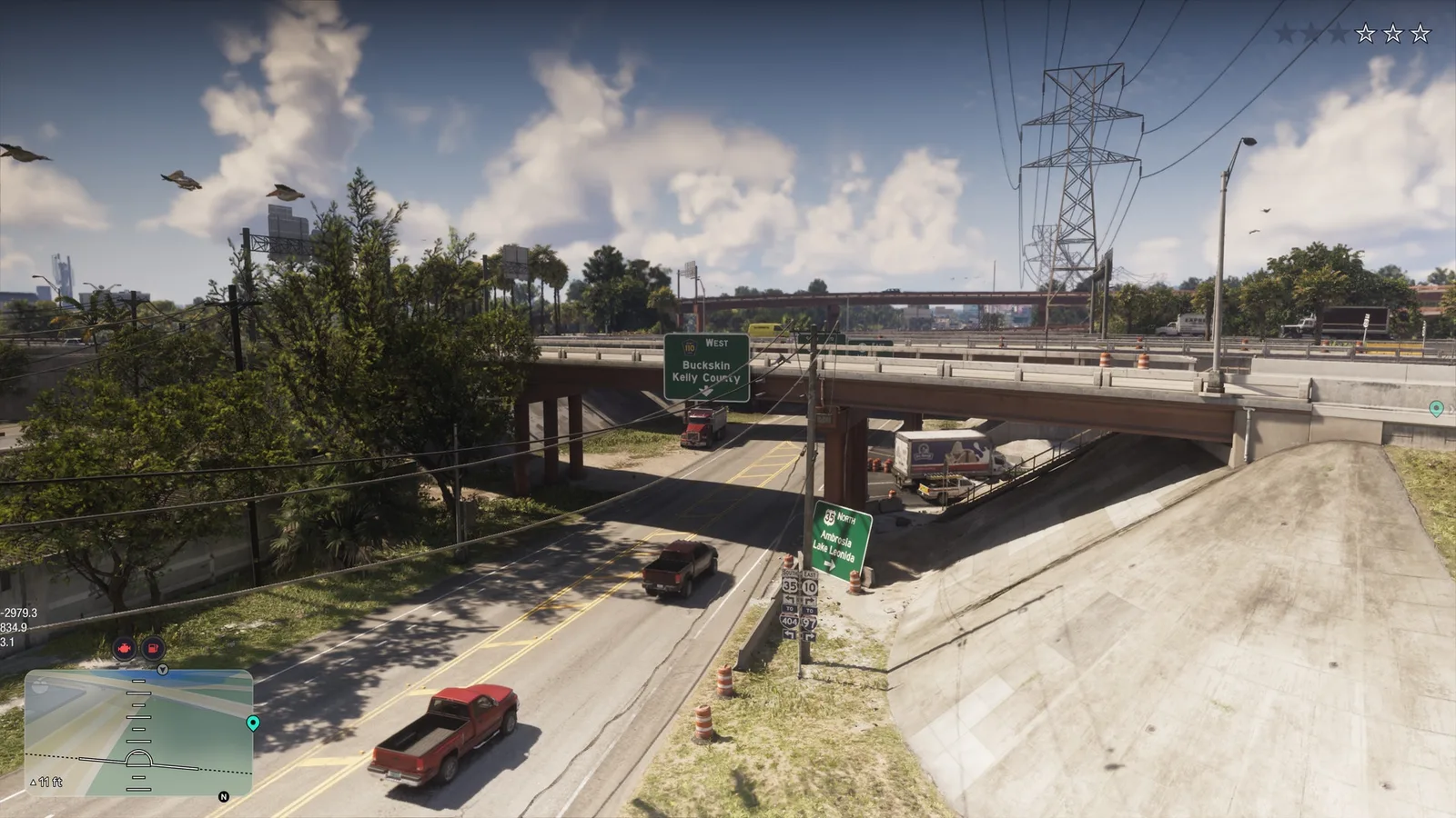
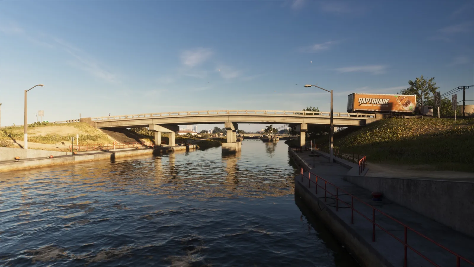
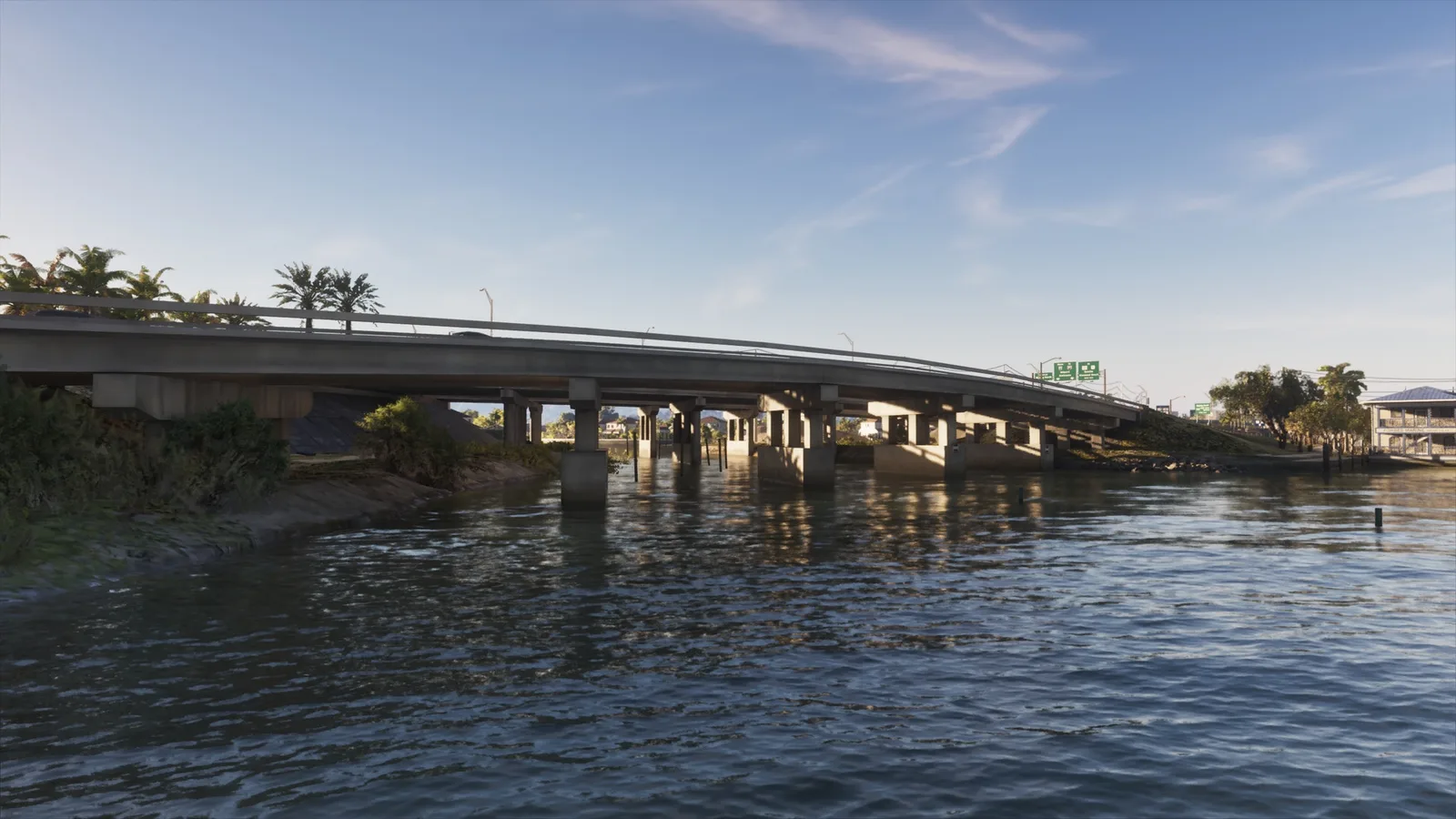
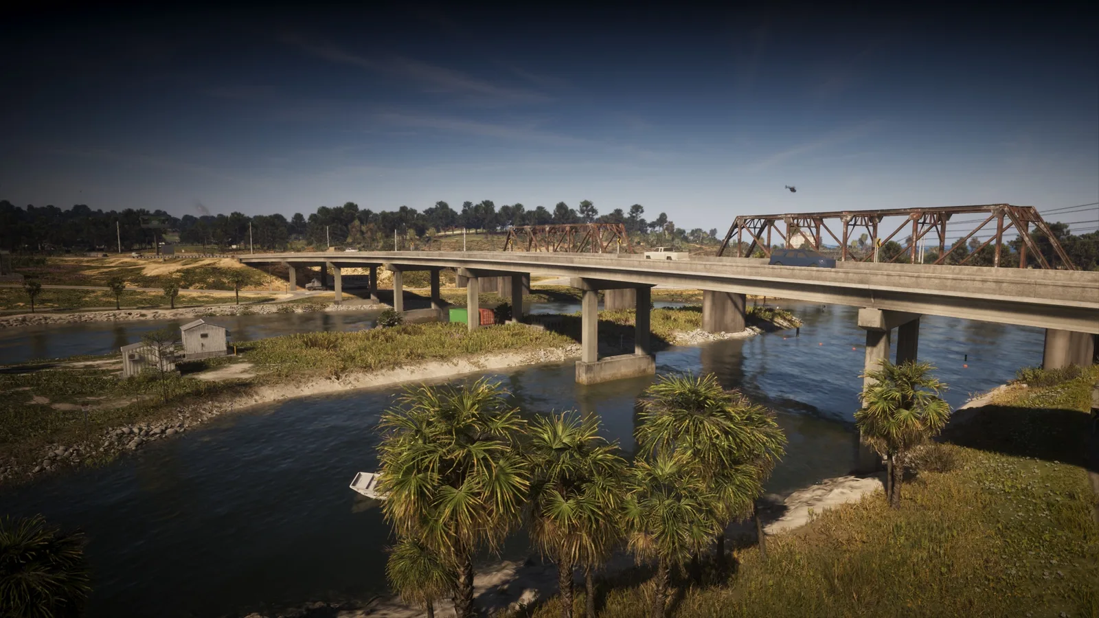
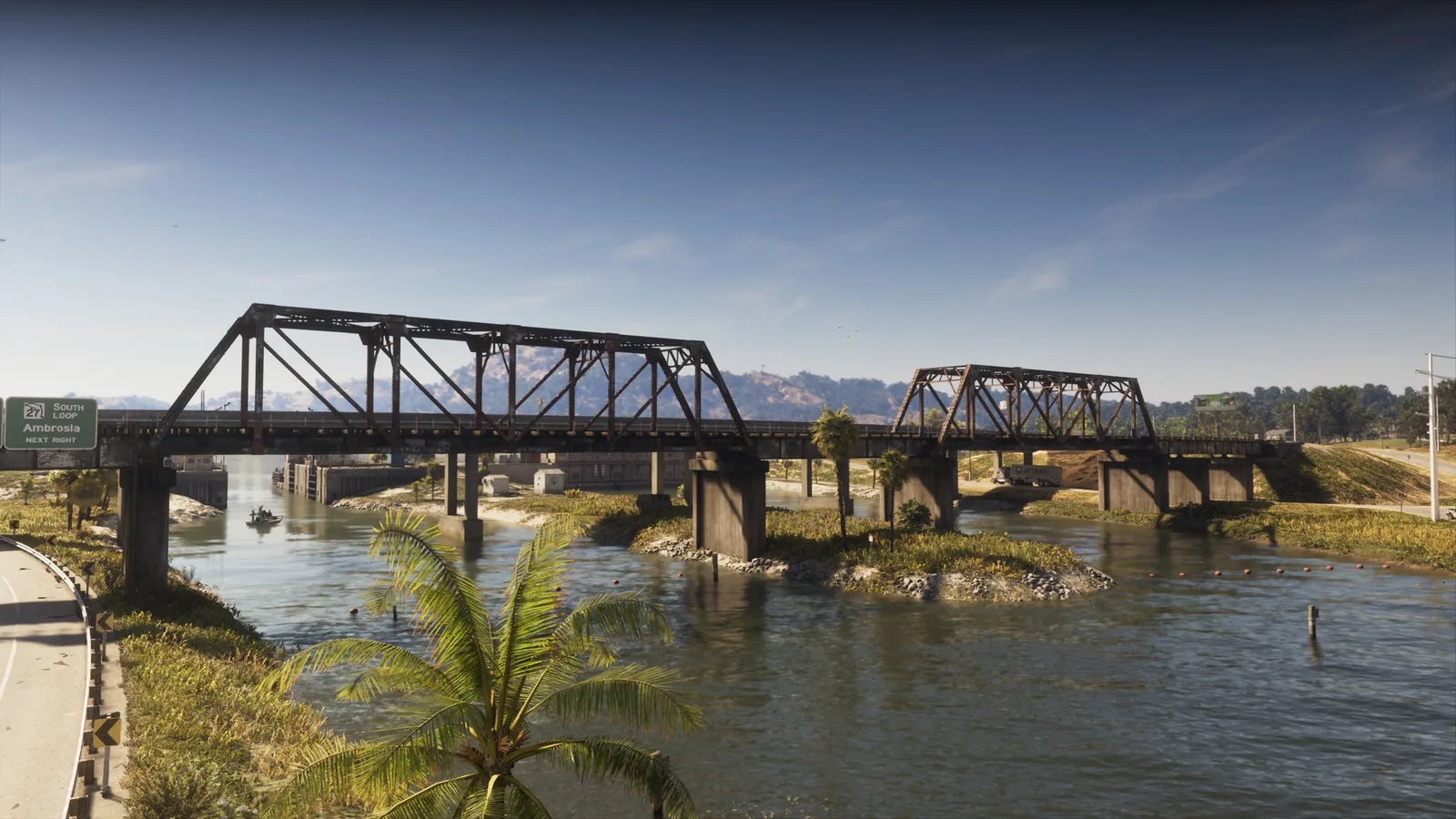
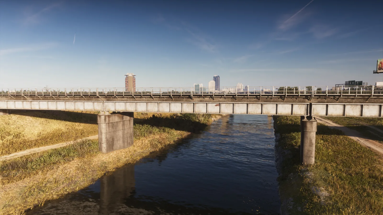
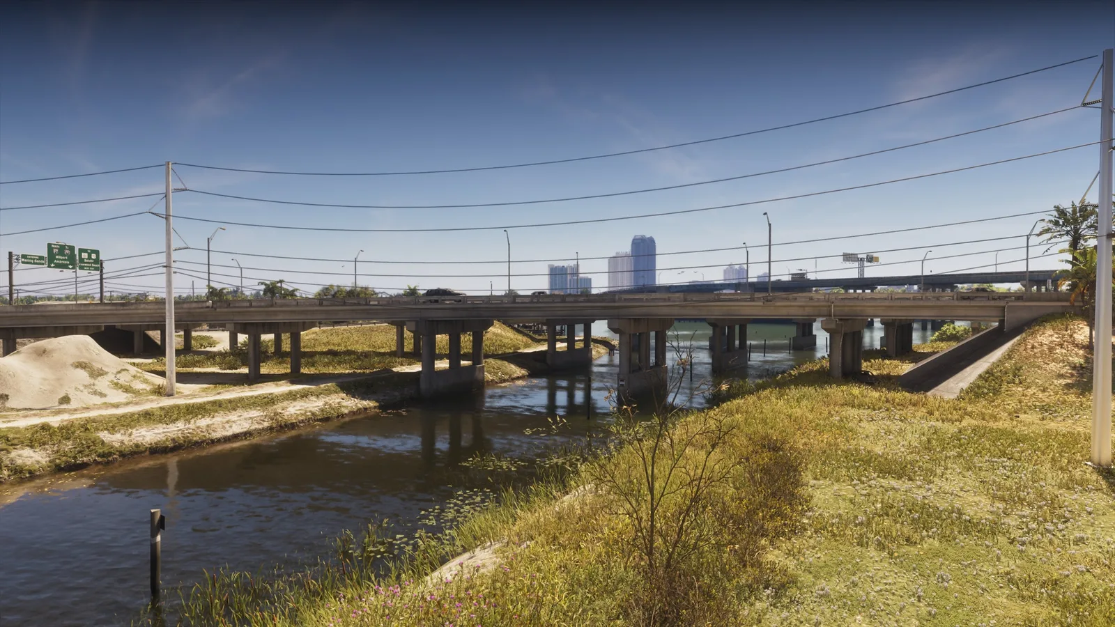
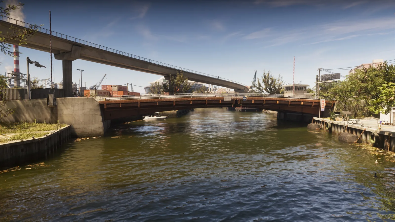
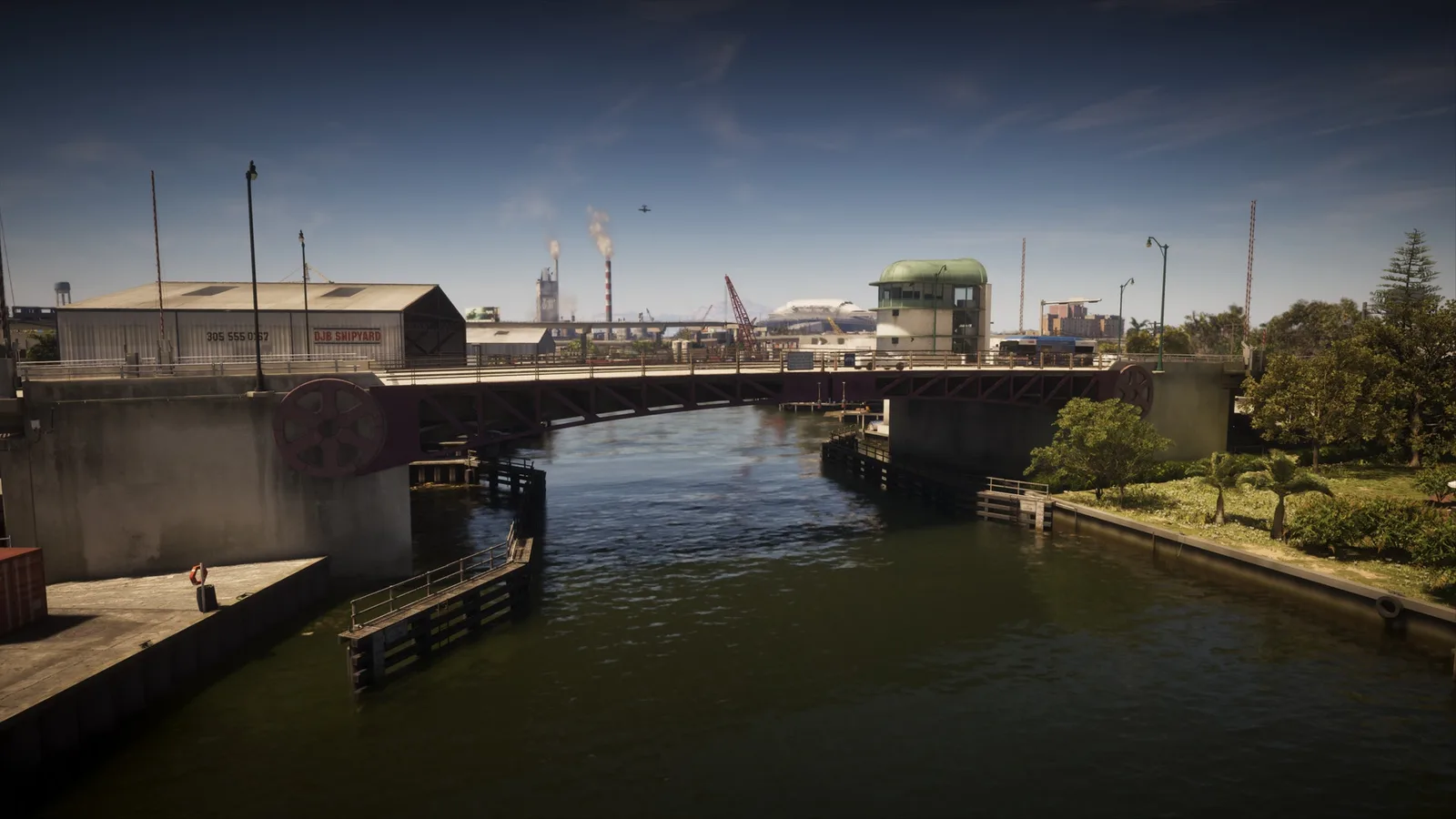
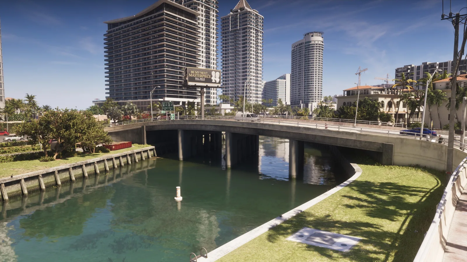
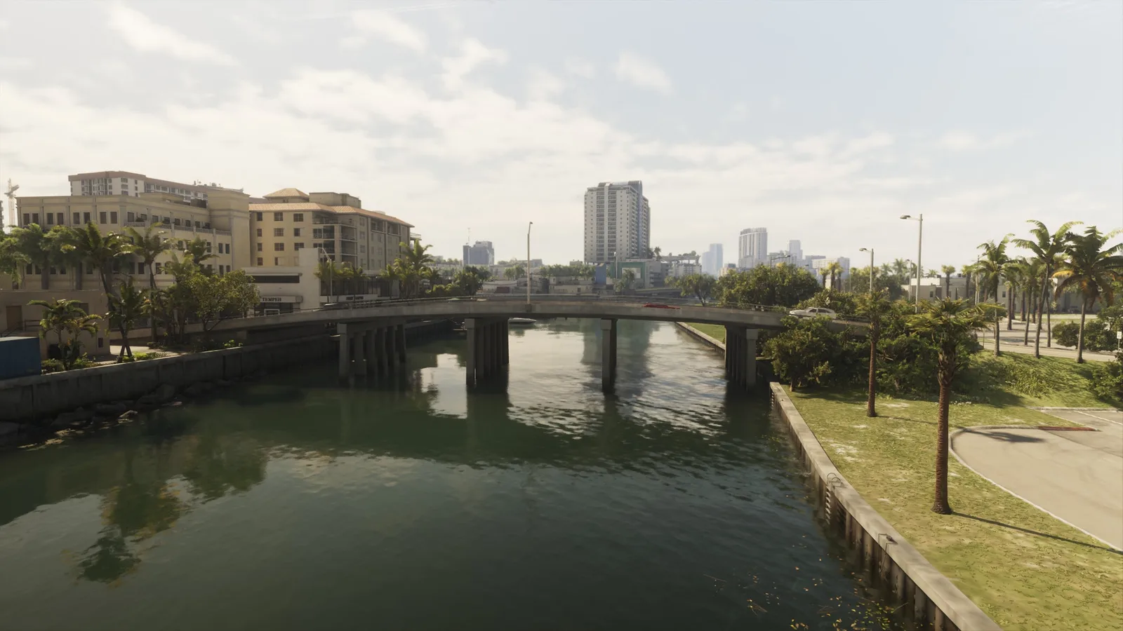
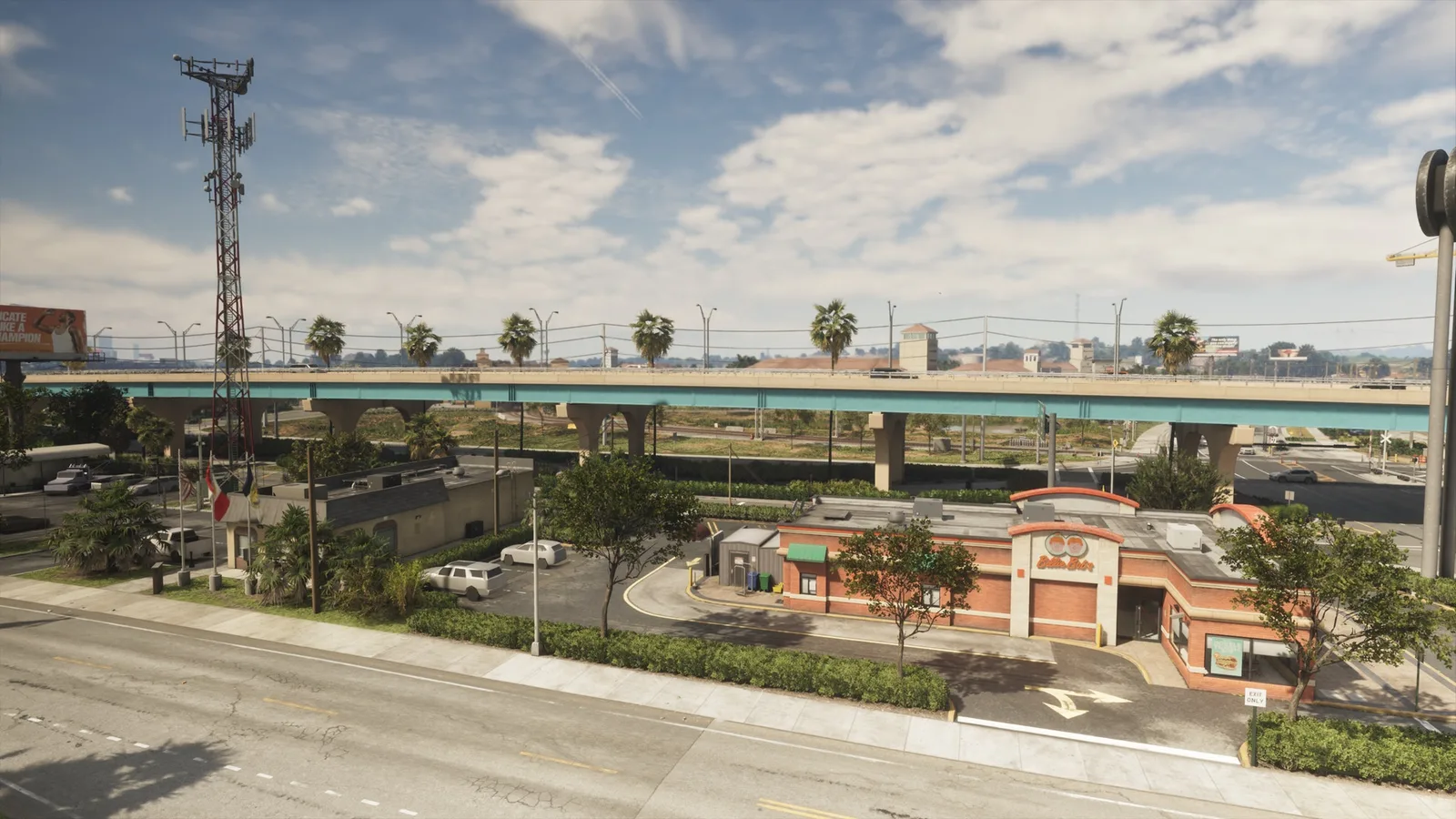
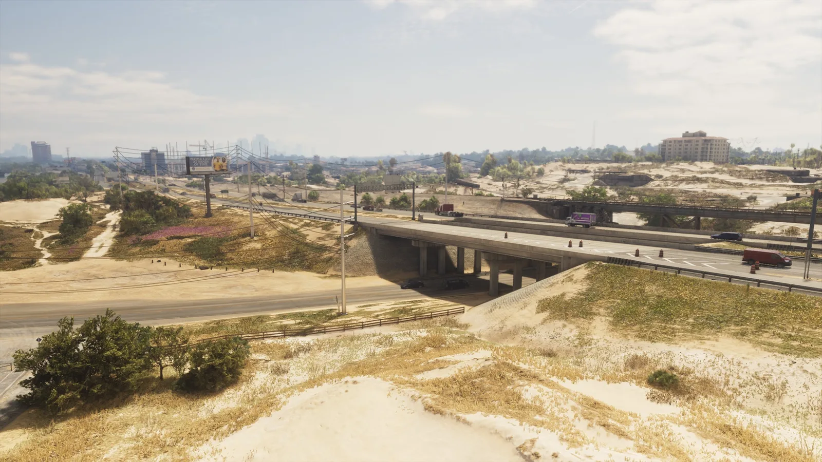
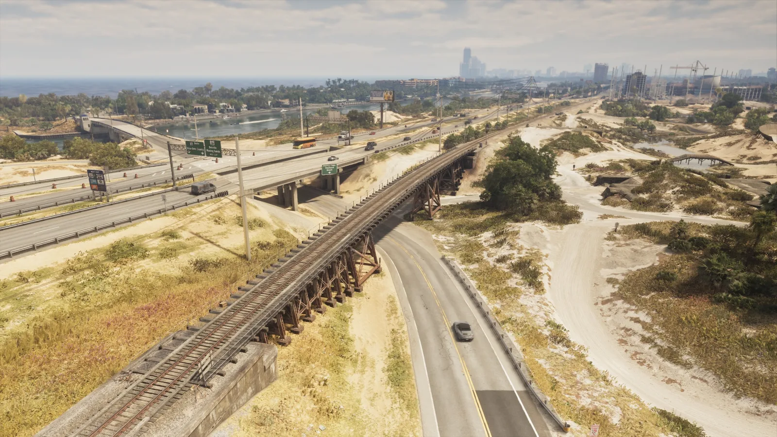
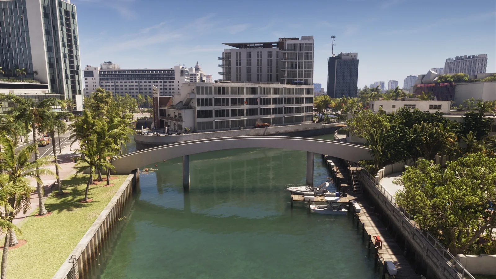
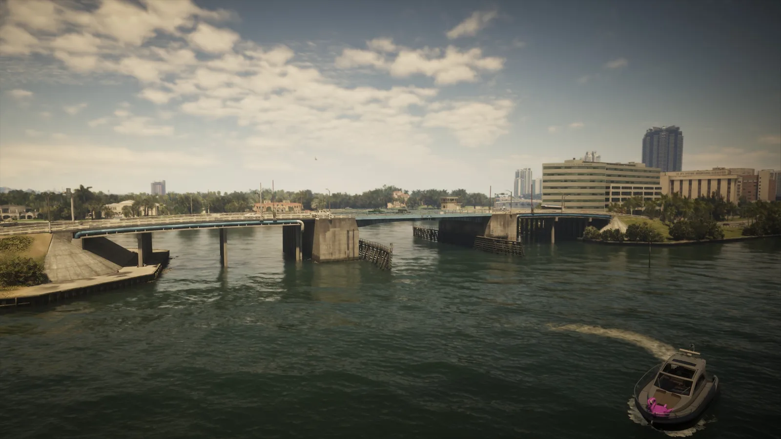
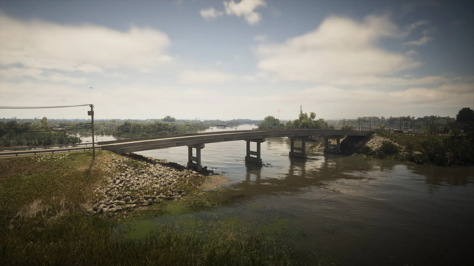
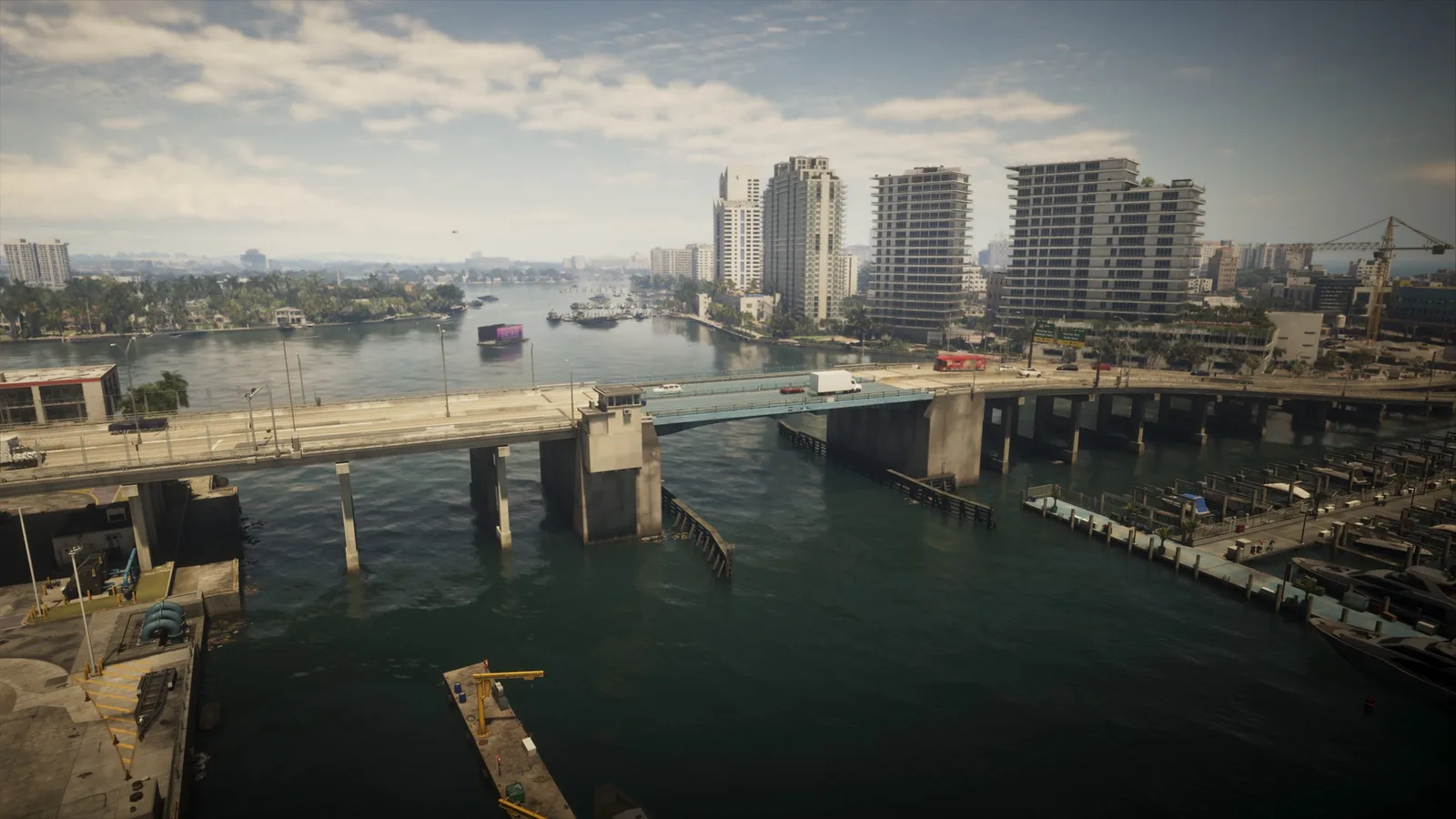
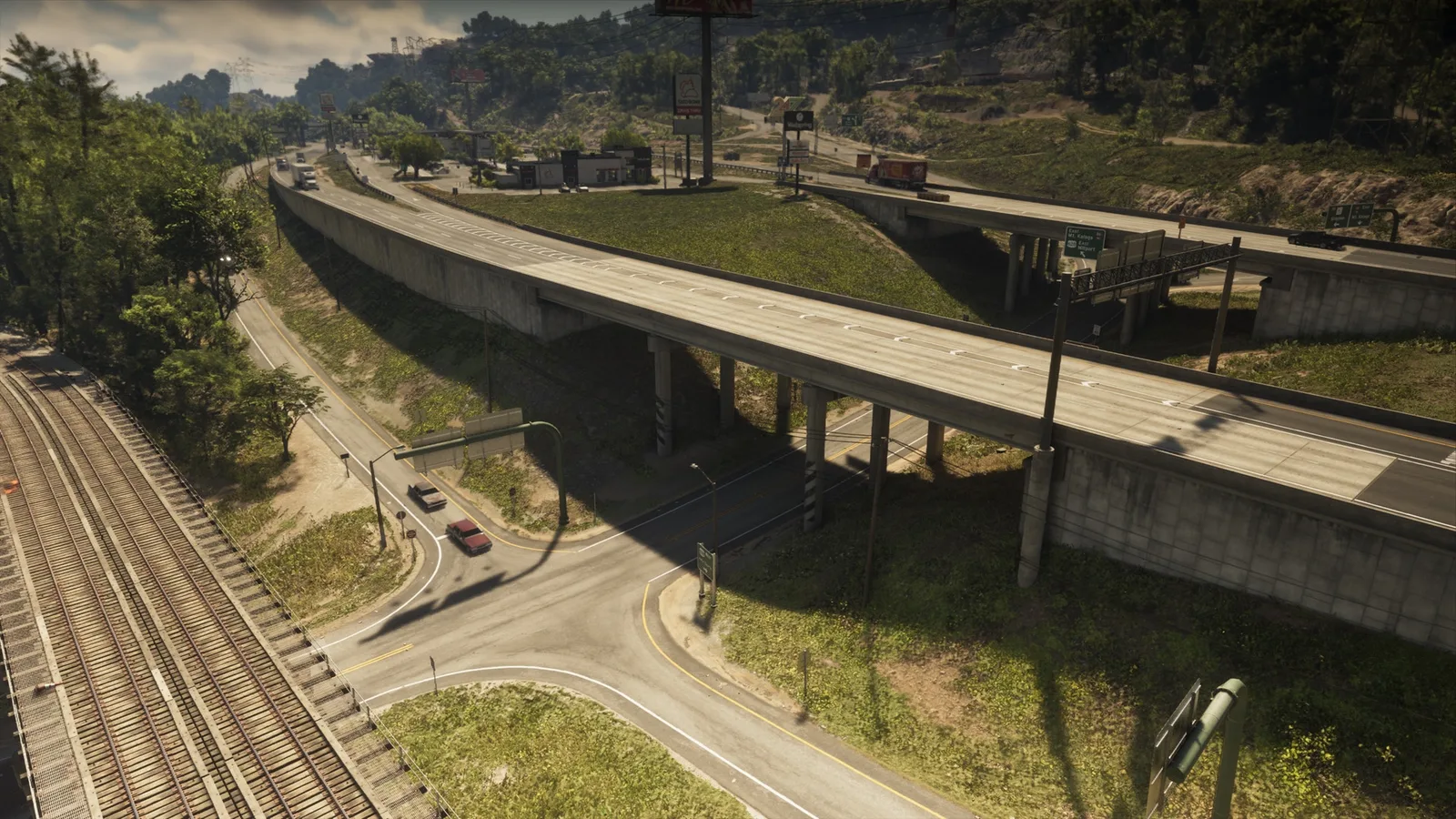
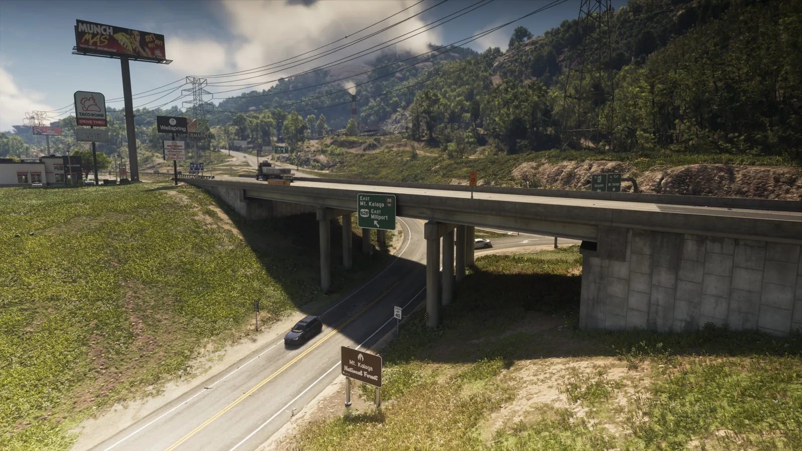
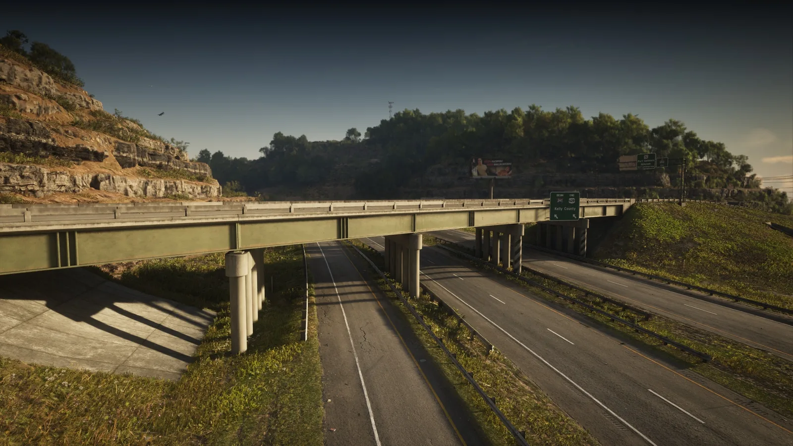
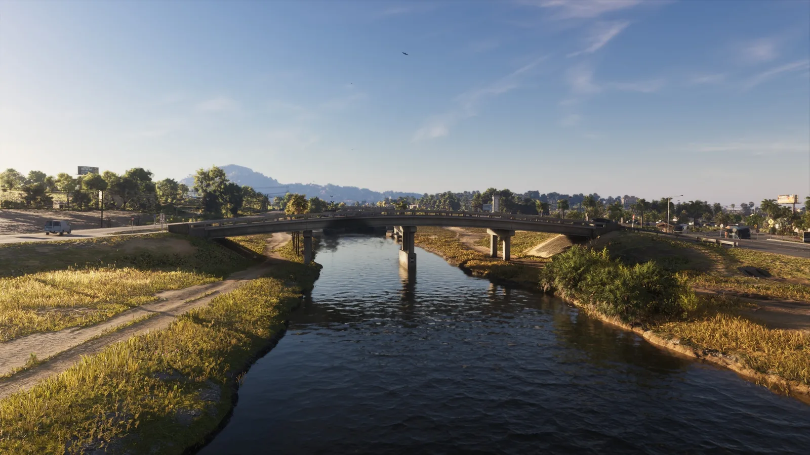
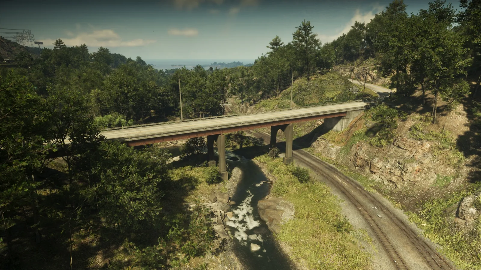
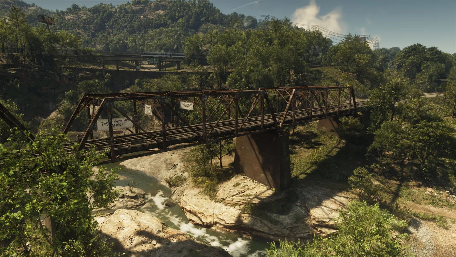
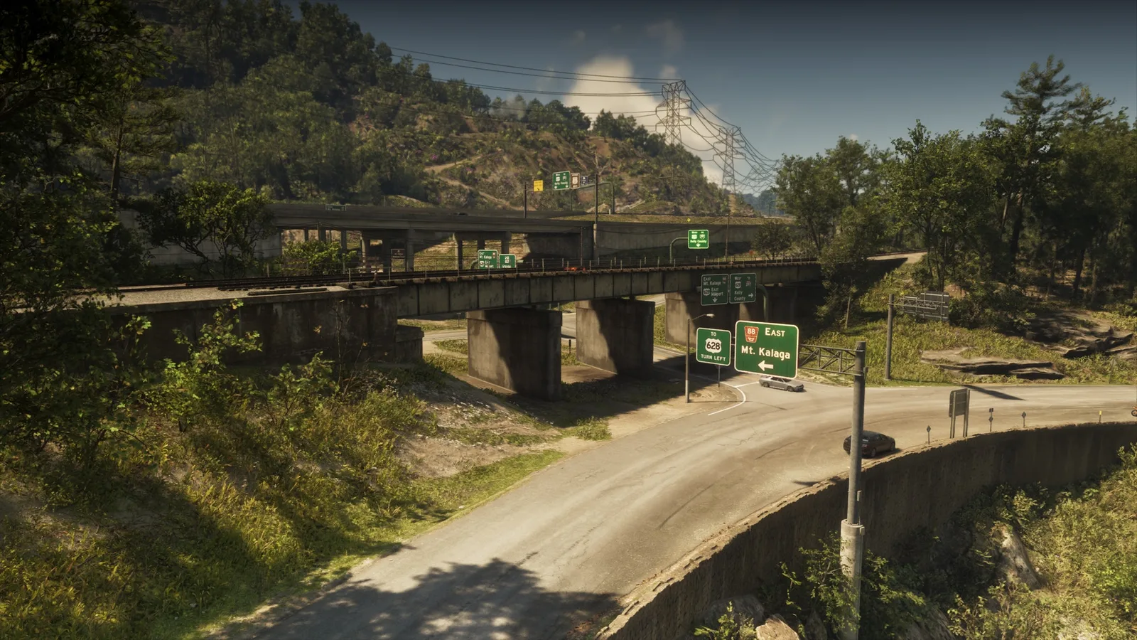
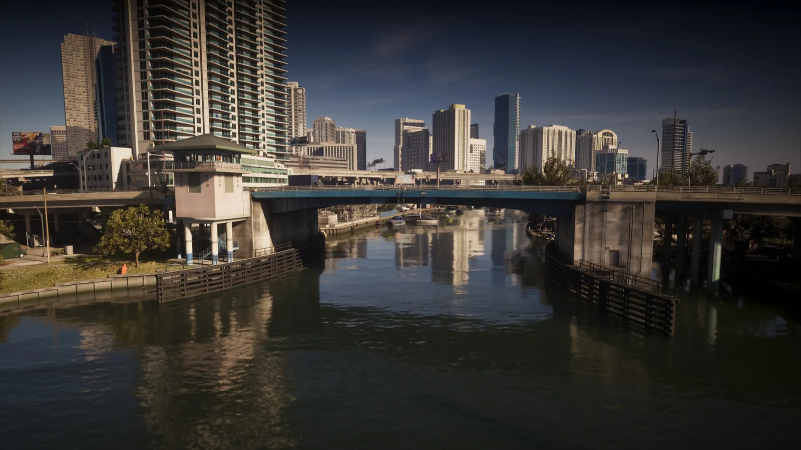
Die Herausforderung Under the Bridges in GTA 6 zählt Brücken, unter denen du hindurchfliegst; der Zähler, den wir im Spiel sahen, zeigt 202. Hier stehen 202 Brücken mit dem, was sie queren, und jede Zeile öffnet sie auf der interaktiven Karte für deine Flugroute.
Tipp: Suche nach Fluss oder Stadt, um eine Route zu bauen, und hake Brücken unterwegs ab. Die Häkchen bleiben in diesem Browser.
Dazu: Die Herausforderung „Under the Bridges“ im Spiel zählt diese Stellen. Under the Bridges
-
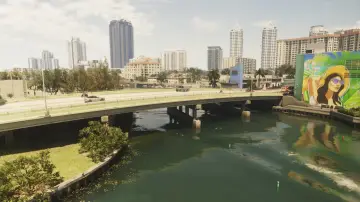
1. Ajax Gym / Lawton Theater
Wo: Under the bridge over the river connecting Penmarch Isle and Oldby Island
-
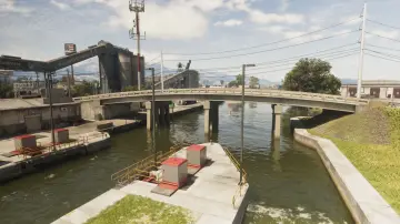
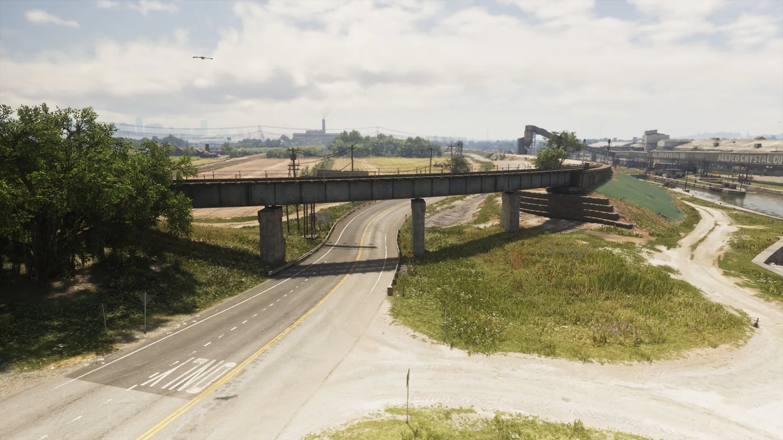
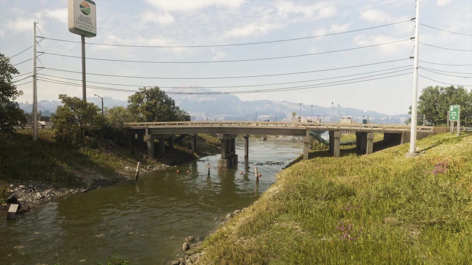
2. Allied Crystal Pipeline
Wo: Under the bridge over the canal connecting eastern and western SR-27 in Ambrosia
-
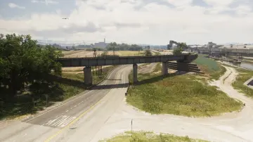
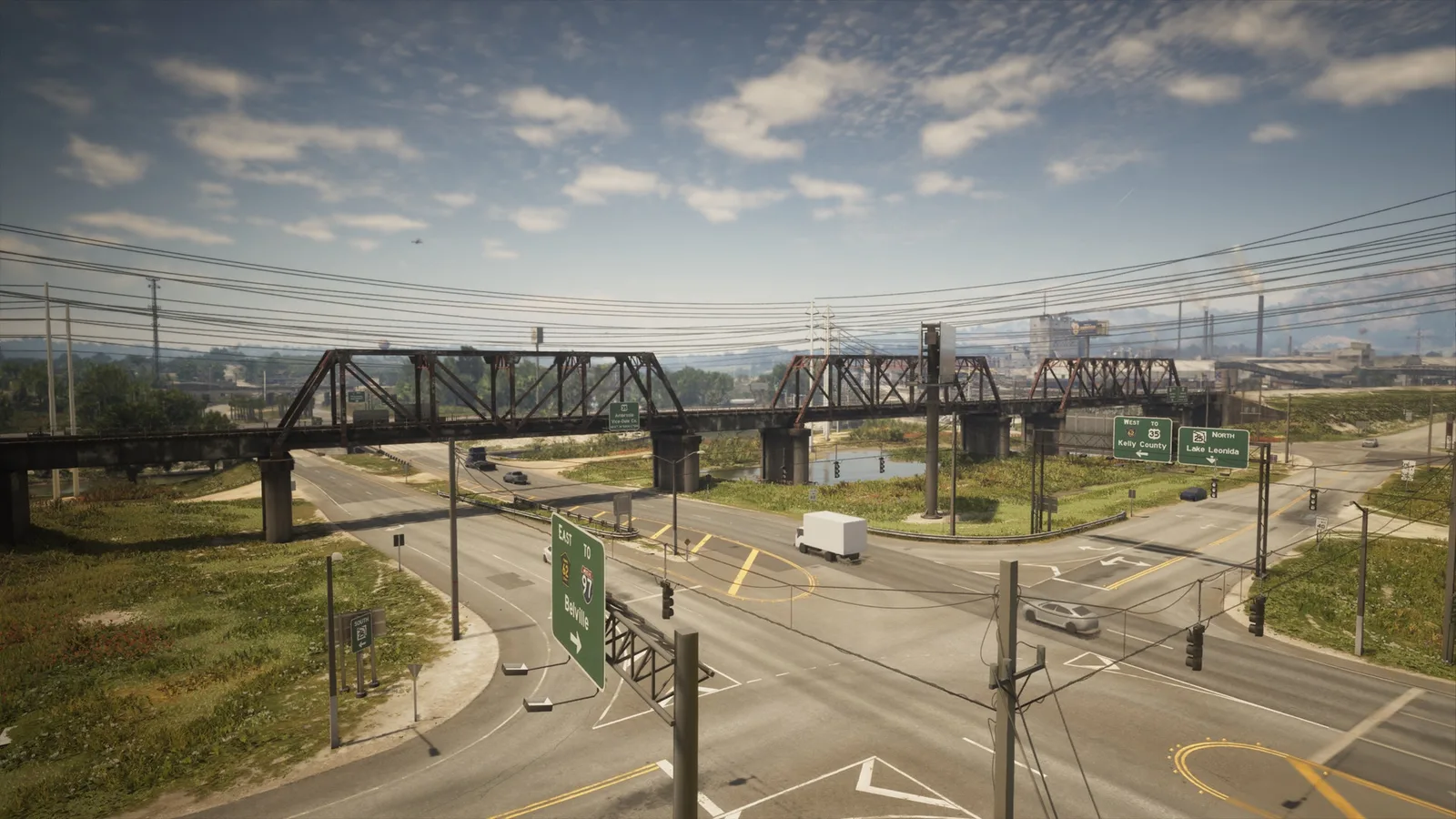
3. Ambrosia East Railroad North
Wo: Under the bridge over SR-25 connecting the train tracks east adn west in Ambrosia
-
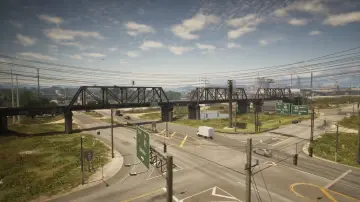
4. Ambrosia East Railroad South
Wo: Under the bridge over CR 62 connecting the north and south train tracks in South Leonard County
-
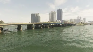
5. Atlantic Avenue
Wo: Under the bridge over the river connecting Atlantic Island and Washington Beach
-
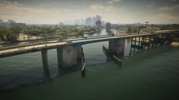
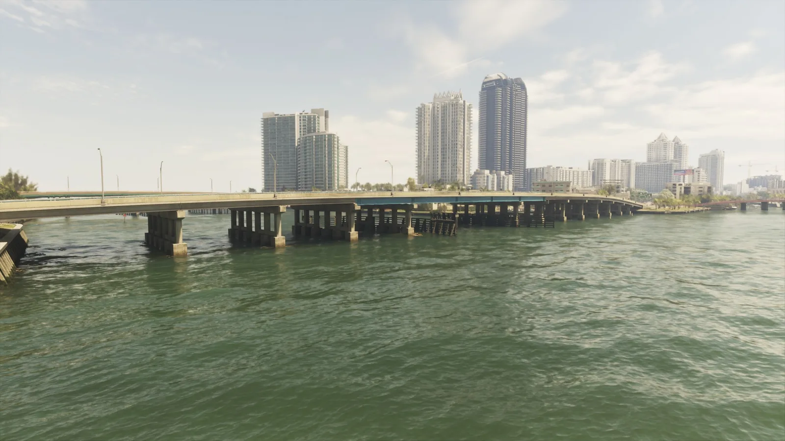
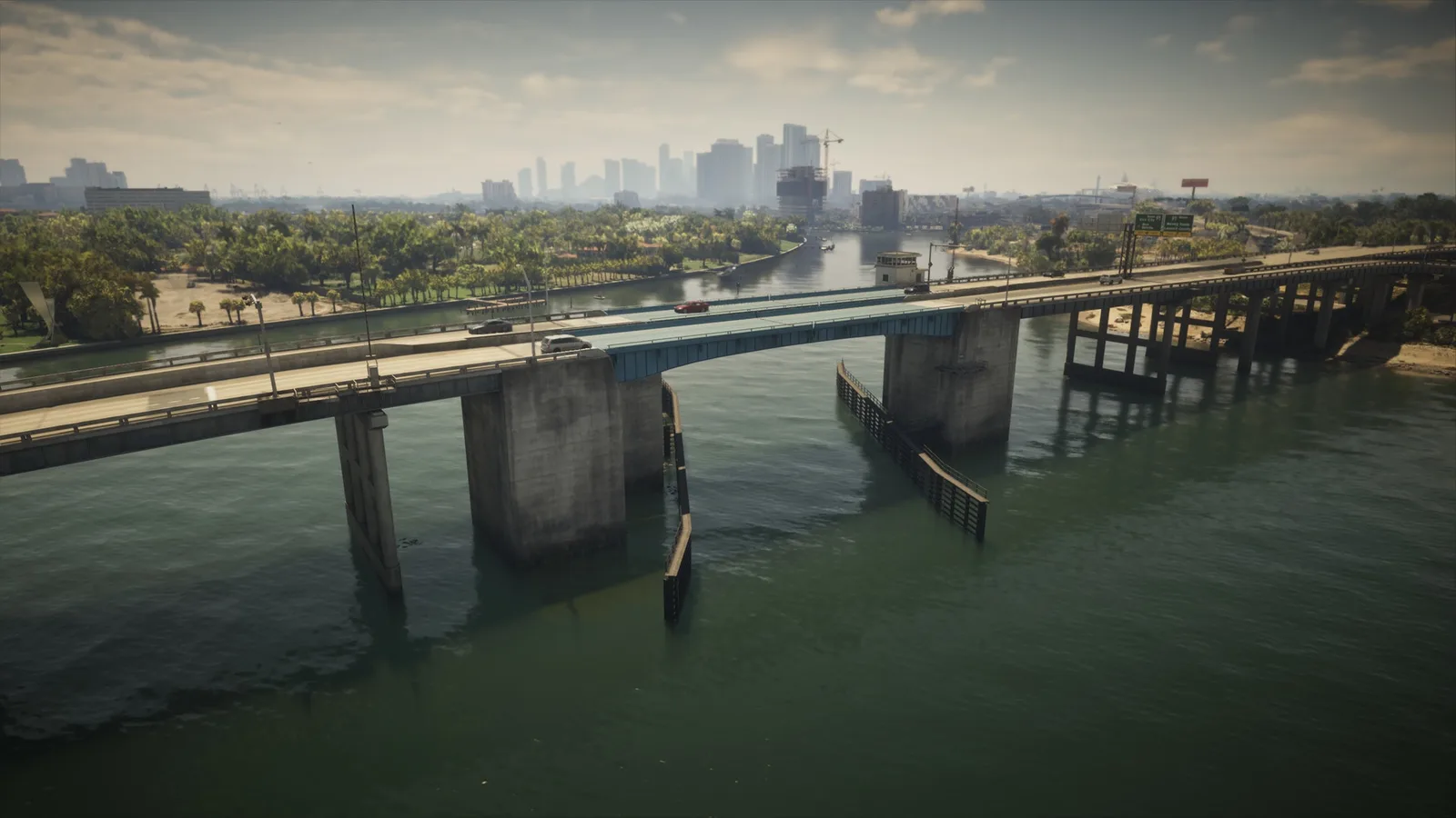
6. Atlantic Causeway
Wo: Under the bridge over the river connecting Atlantic Island and Belville
-
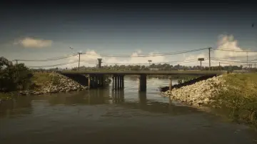
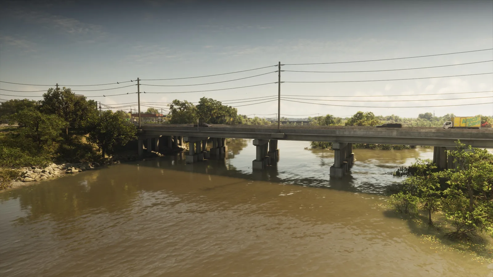
7. Atlee River
Wo: Under the bridge over the Pelican River connecting Gullet Marsh and Hamlet
-
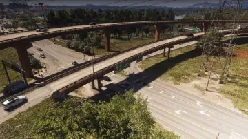
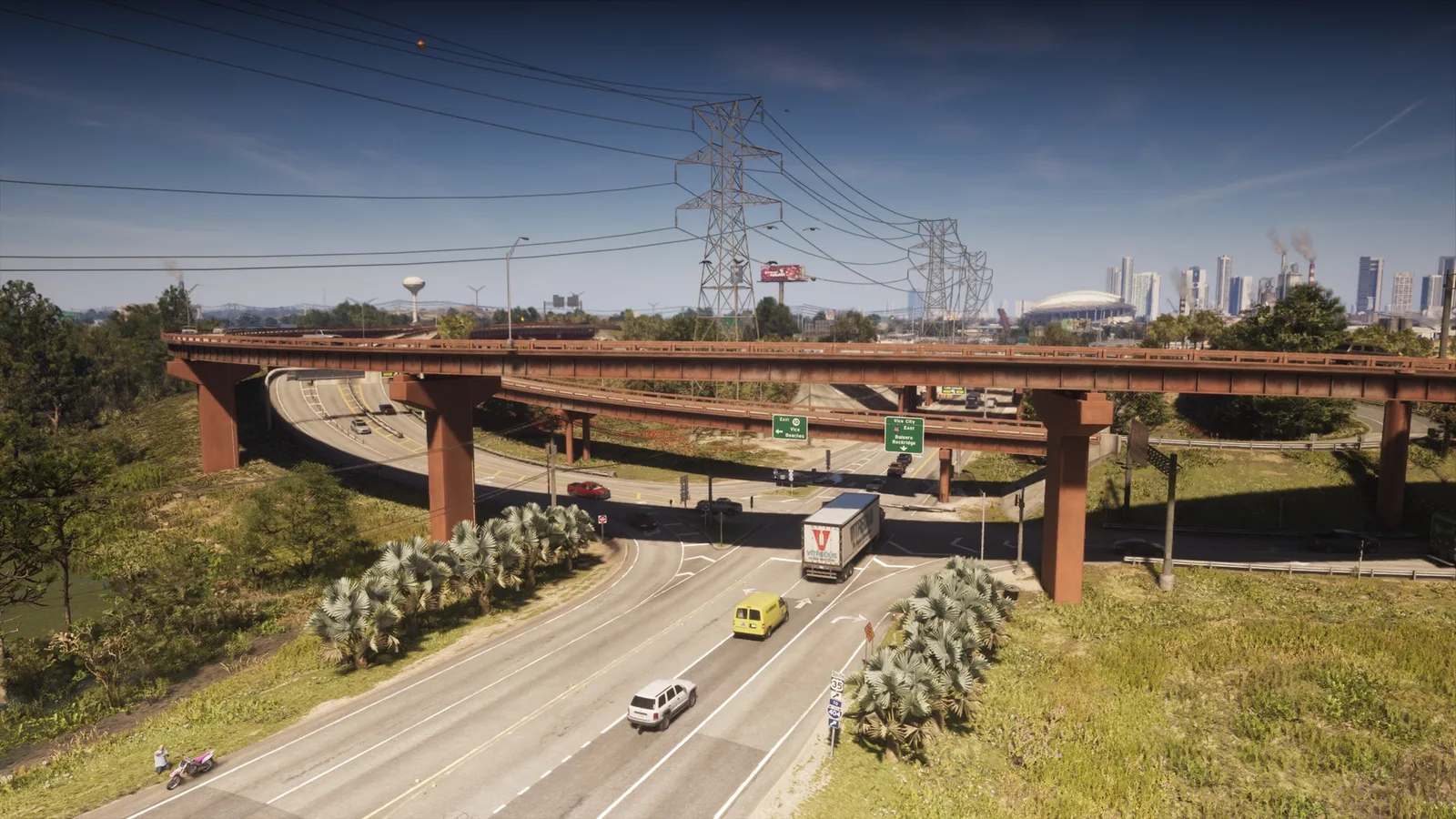
8. Balsero Overpass Central
Wo: Under the bridge over Omega Pkwy connecting the ramp from US-10 to US-35 between Balsero and Buckskin Swamp
-
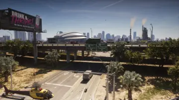
9. Balsero Overpass East
Wo: Under the bridge over SR-25 connecting east and west US-10 between Balsero and South Leonard County
-
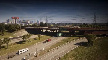
10. Balsero Overpass North
Wo: Under the bridge over US-35 connecting US-10 to US-35 in Balsero
-
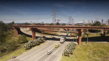
11. Balsero Overpass West
Wo: Under the bridge over Omega Pkwy connecting the ramp from US-10 to US-35 between Balsero and Buckskin Swamp
-
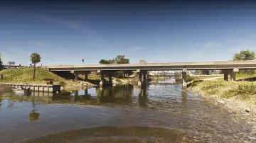
12. Belville Canal East
Wo: Under the bridge over the canal connecting Belville and South Leonard County
-
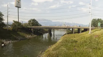
13. Belville Canal North
Wo: Under the bridge over the canal connecting east and west SR-27 between Belville and Ambrosia
-
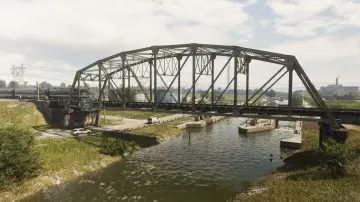
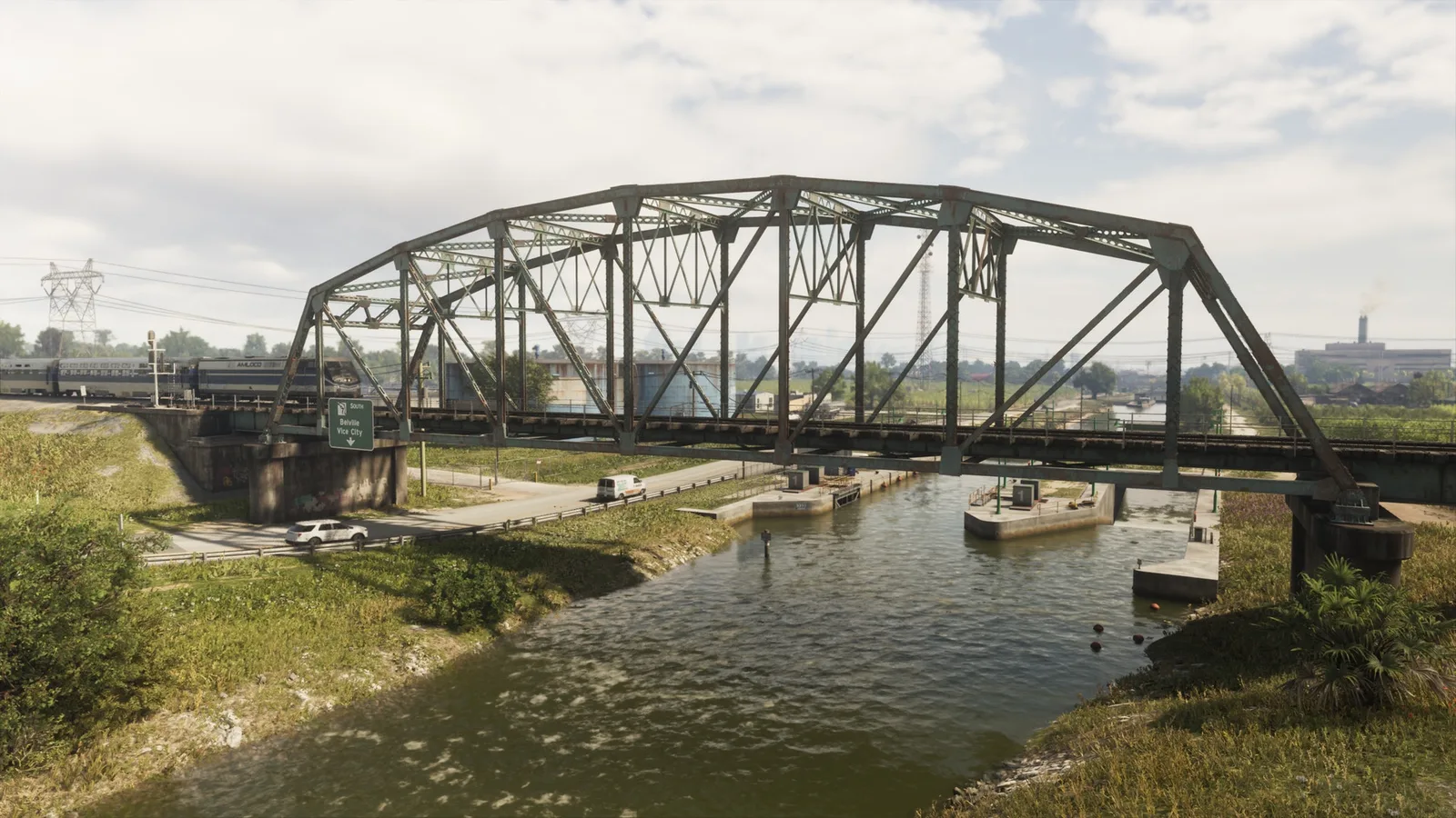
14. Belville Canal Railroad
Wo: Under the bridge over the canal connecting the railroad between Belville and Ambrosia
-
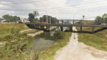
15. Belville Canal South
Wo: Under the bridge over the canal connecting east and west US-70 between Belville, Ambrosia, and South Leonard County
-
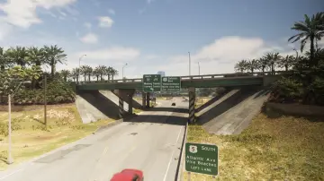
16. Belville East Overpass
Wo: Under the bridge over CR 62 connecting north and south I-97 in Belville
-
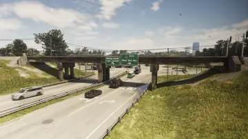
17. Belville East Railroad
Wo: Under the bridge over CR 62 connecting the north and south train tracks in Belville
-
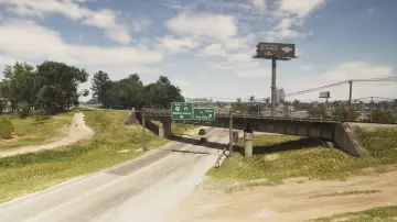
18. Belville North Railroad
Wo: Under the bridge over US-70 connecting the north and south train tracks in Belville
-
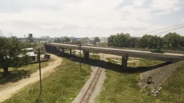
19. Belville Town Overpass
Wo: Under the bridge over the train tracks connecting north and south SR-120 in Belville
-
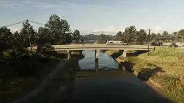
20. Bluegrass North
Wo: Under the bridge over the canal connecting Bluegrass and North Mariana County
-
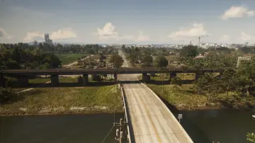
21. Bluegrass Railroad Bridge
Wo: Under the bridge over the Farmers Walk connecting the east and west railroad on the north side of Bluegrass
-
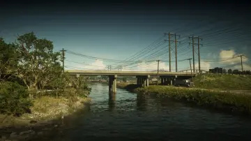
22. Bluegrass South
Wo: Under the bridge over the Pelican River connecting North Mariana County and South Vice-Dale County
-
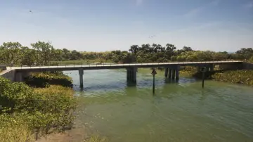
23. Bobcat Key Central
Wo: Under the bridge over the water connecting north and south Loggerhead Rd in Bobcat Key
-
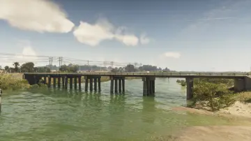
24. Bobcat Key North
Wo: Under the bridge over Bobcat Bight connecting Bobcat Key and North Mariana County
-
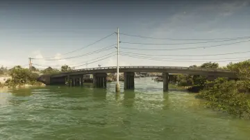
25. Bobcat Key South
Wo: Under the bridge over Bobcat Bight connecting Bobcat Key and Watson Bay
-
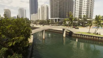
26. Bonita Court Footbridge
Wo: Under the bridge over the river connecting Washington Island and Washington Beach
-
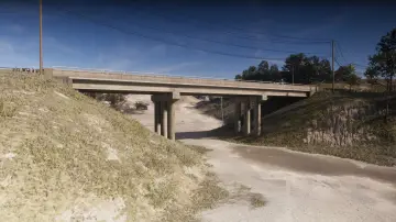
27. Breakwater Quarry
Wo: Under the bridge over a dirt road connecting north and south Union Rd in Breakwater Quarry
-
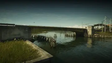
28. Bright Maw Pass
Wo: Under the bridge over the Pelican River connecting Hamlet and South Vice-Dale County
-
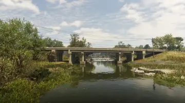
29. Buckskin Swamp Channels
Wo: Under the bridge over the Emerald River connecting east and west Emerald Springs Dr between Emerald Springs and Buckskin Swamp
-
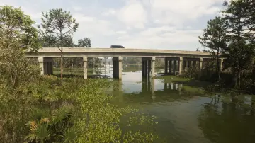
30. Buckskin Swamp Southeast
Wo: Under the bridge over the river connecting north and south Cargo Rd in Buckskin Swamp
-
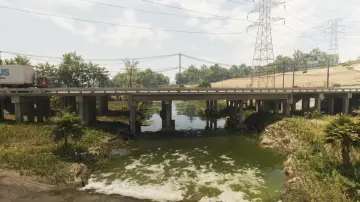
31. Buckskin Swamp Southwest
Wo: Under the bridge over the river connecting east and west Omega Pkwy between South kelly County and Buckskin Swamp
-
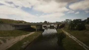
32. Caledonia Boulevard
Wo: Under the bridge over the canal connecting north and south Caledonia Blvd between South Leonard County and Belville
-
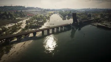
33. Capri Bay Railroad
Wo: Under the bridge over the river connecting Capri and South Kelly County
-
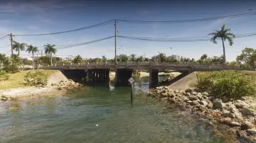
34. Capri Island
Wo: Under the bridge over the water connecting east and west Vela Rota Dr in Capri
-
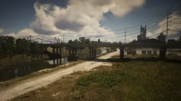
35. Caprice City Canal
Wo: Under the bridge over the canal connecting Breakwater Quarry and West Vice-Dale County
-
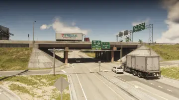
36. Cargo Road
Wo: Under the bridge over Cargo Rd connecting east and west I-404 in West Vice-Dale County
-
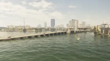
37. Casanova Island Bridge
Wo: Under the bridge over the water connecting Casanova Island and Oldby Island
-
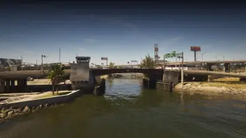
38. Catalan Boulevard
Wo: Under the bridge over the canal connecting the Decor District and Belville
-
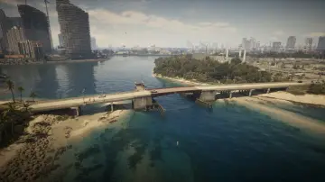
39. Catalan Key East
Wo: Under the bridge over Catalan Bay connecting Catalan Key and Gloriana Key
-
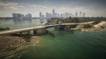
40. Catalan Key South
Wo: Under the bridge over the ocean connecting Corsair key and Catalan Key
-
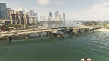
41. Catalan Key West
Wo: Under the bridge over Catalan Bay connecting Catalan Key and Peacock Bay
-
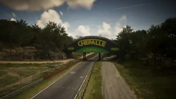
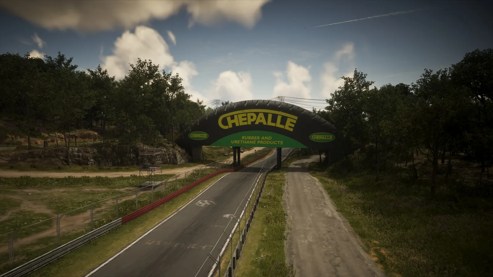
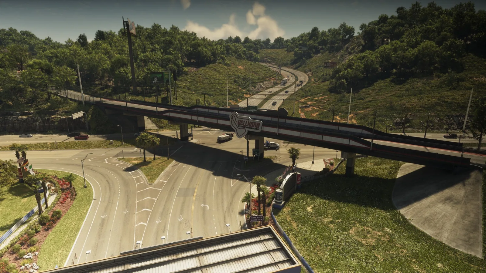
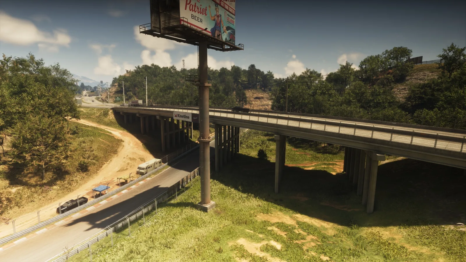
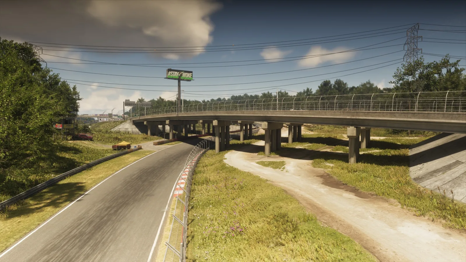
42. Chepalle Billboard
Wo: Under the bridge over the raceway connecting Gellhorn and the raceway
-
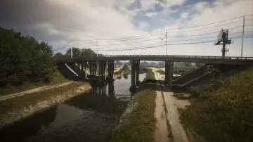
43. County Route 62
Wo: Under the bridge over the canal connecting east and west CR 62 between South Leonard County and Belville
-
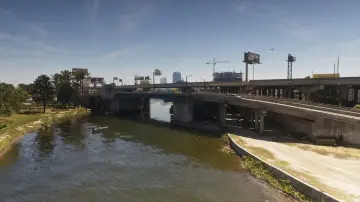
44. Del Rio Boulevard
Wo: Under the bridge over the canal connecting La Perle and Belville
-
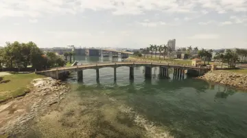
45. Delamore Bridge
Wo: Under the bridge over the river connecting the Leaf Links and Atlantic Island
-
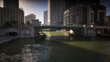
46. Downtown Southeast
Wo: Under the bridge over the canal connecting Tequesta and Downtown
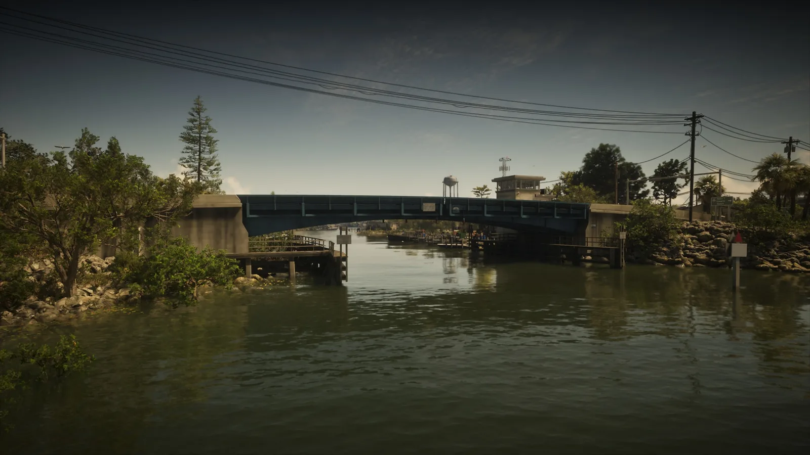
-
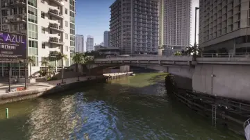
47. Downtown Southwest
Wo: Under the bridge over the canal connecting Tequesta and Downtown
-
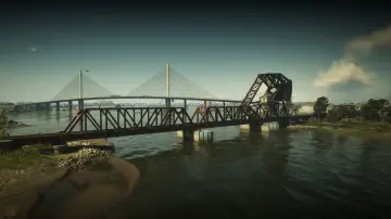
48. Draper Island Bridge
Wo: Under the bridge over Draper Bay connecting the railroad between Draper Island and Port Gellhorn
-
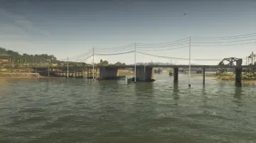
49. Draper Island East
Wo: Under the bridge over Draper Bay connecting Draper Island and Manifest Canyon
-
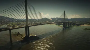
50. Draper Island South
Wo: Under the bridge over Draper Bay connecting Draper Island and Port Gellhorn
-
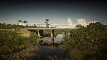
51. East Big Pine
Wo: Under the bridge over the Pelican River connecting Watson Bay and Grassrivers
-
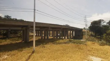
52. East Lummox County Overpass
Wo: Under the bridge over Tidewater Dr connecting east and west US-628
-
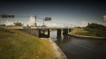
53. East Watson Bay
Wo: Under the bridge over the Pelican River connecting Watson Bay and Gullet Marsh
-
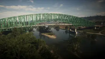
54. Emerald Bridge
Wo: Under the bridge over the river connecting Capri and South Kelly County
-
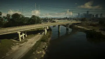
55. Emory Avenue
Wo: Under the bridge over the Pelican River connecting Hamlet and South Vice-Dale County
-
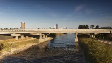
56. Evergreen Mall Bridge
Wo: Under the bridge over the canal connecting Belville and Waning Sands
-
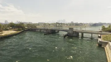
57. Flamingo Parkway North
Wo: Under the bridge over the ocean connecting Flamingo Island and Vinewood Beach
-
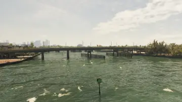
58. Flamingo Parkway South
Wo: Under the bridge over the ocean connecting Flamingo Island and Washington Beach
-
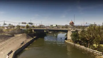
59. Fleeca Field Stadium
Wo: Under the bridge over the canal connecting Balsero and Rockridge near the stadium
-
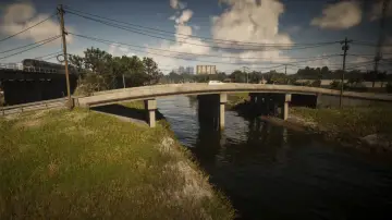
60. Fuzzard Drain Canal
Wo: Under the bridge over the canal connecting north and south Bluegrass
-
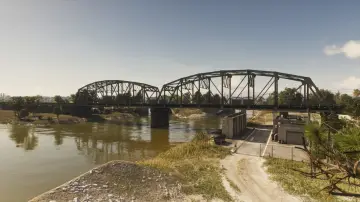
61. Fuzzard Drain Canal Railroad East
Wo: Under the bridge over the canal connecting the railroad from Bluegrass to VCIA
-
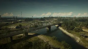
62. Fuzzard Drain Canal Railroad West
Wo: Under the bridge over the canal connecting the railroad between Bluegrass and North Mariana County
-
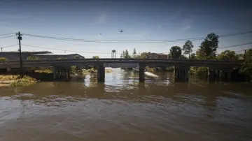
63. Gavin's Creek East
Wo: Under the bridge over Gavin's Creek connecting north and south Buckeye Rd in Watson Bay
-
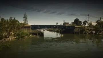
64. Gavin's Creek West
Wo: Under the bridge over Gavin's Creek connecting north and south Watson Bay
-
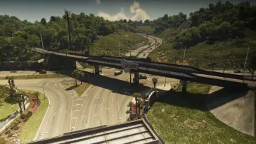
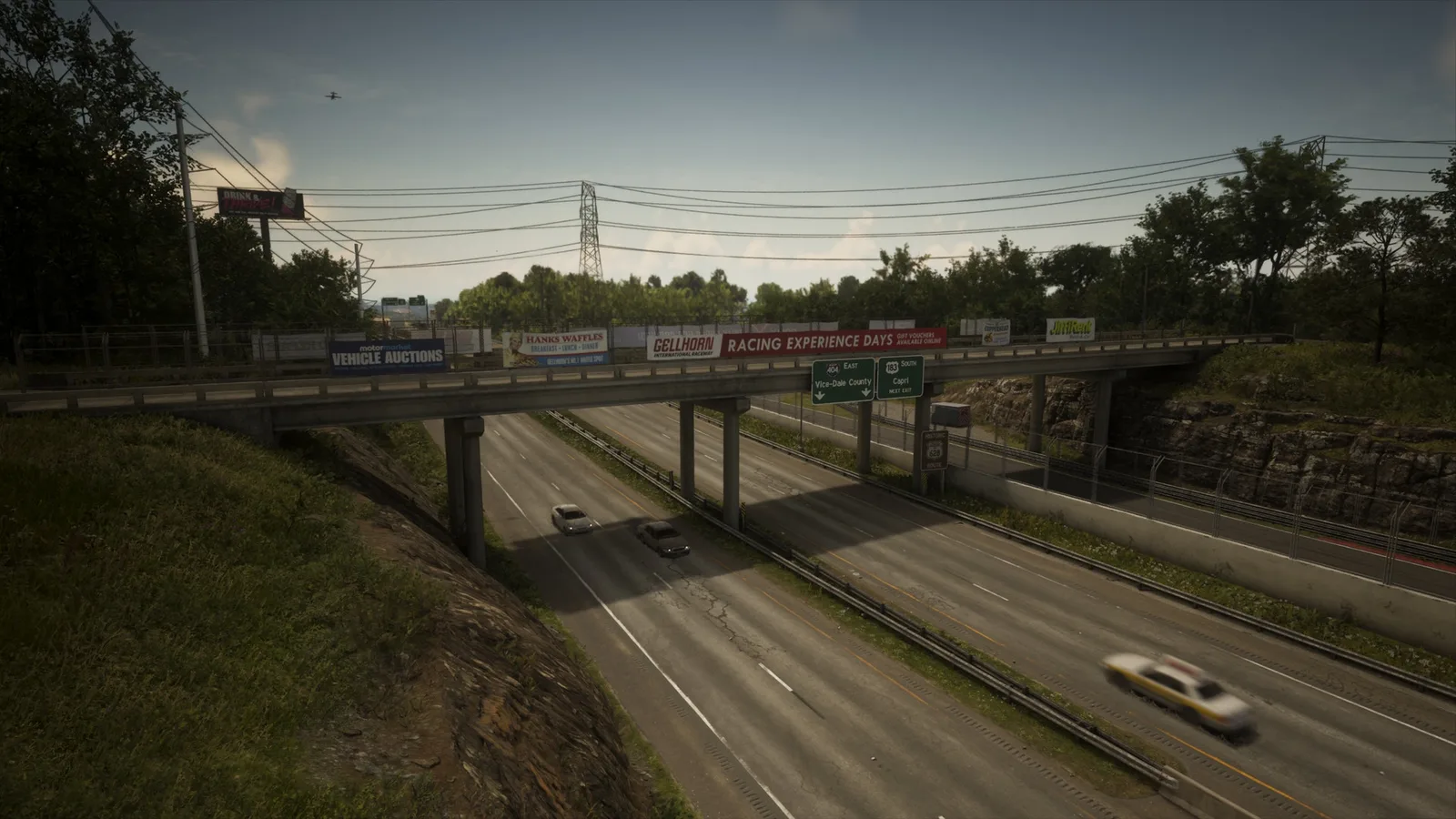
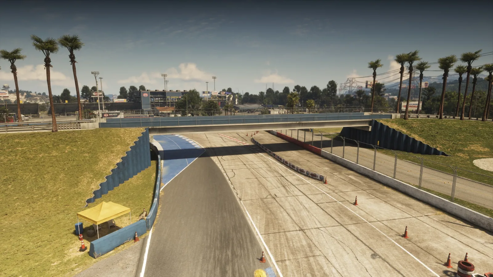
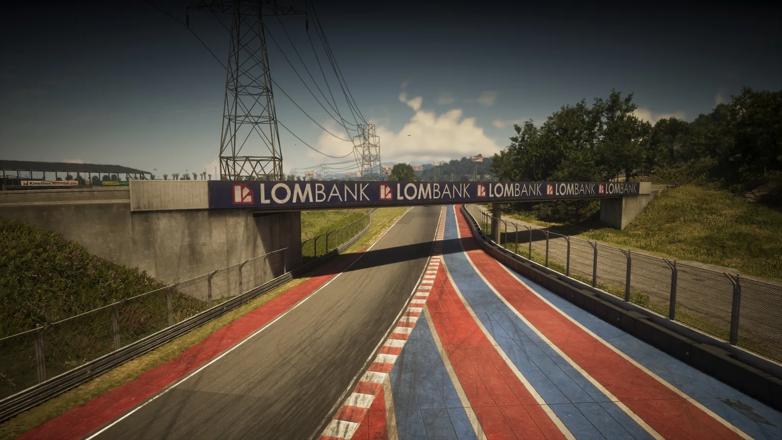
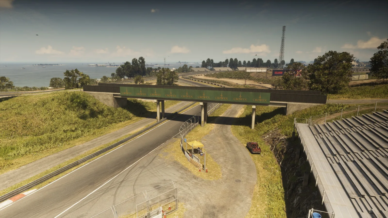
65. Gellhorn International Raceway
Wo: Under the bridge over the entrance to the Gellhorn International Raceway connecting two parts of the racetrack
-
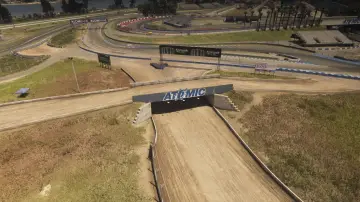
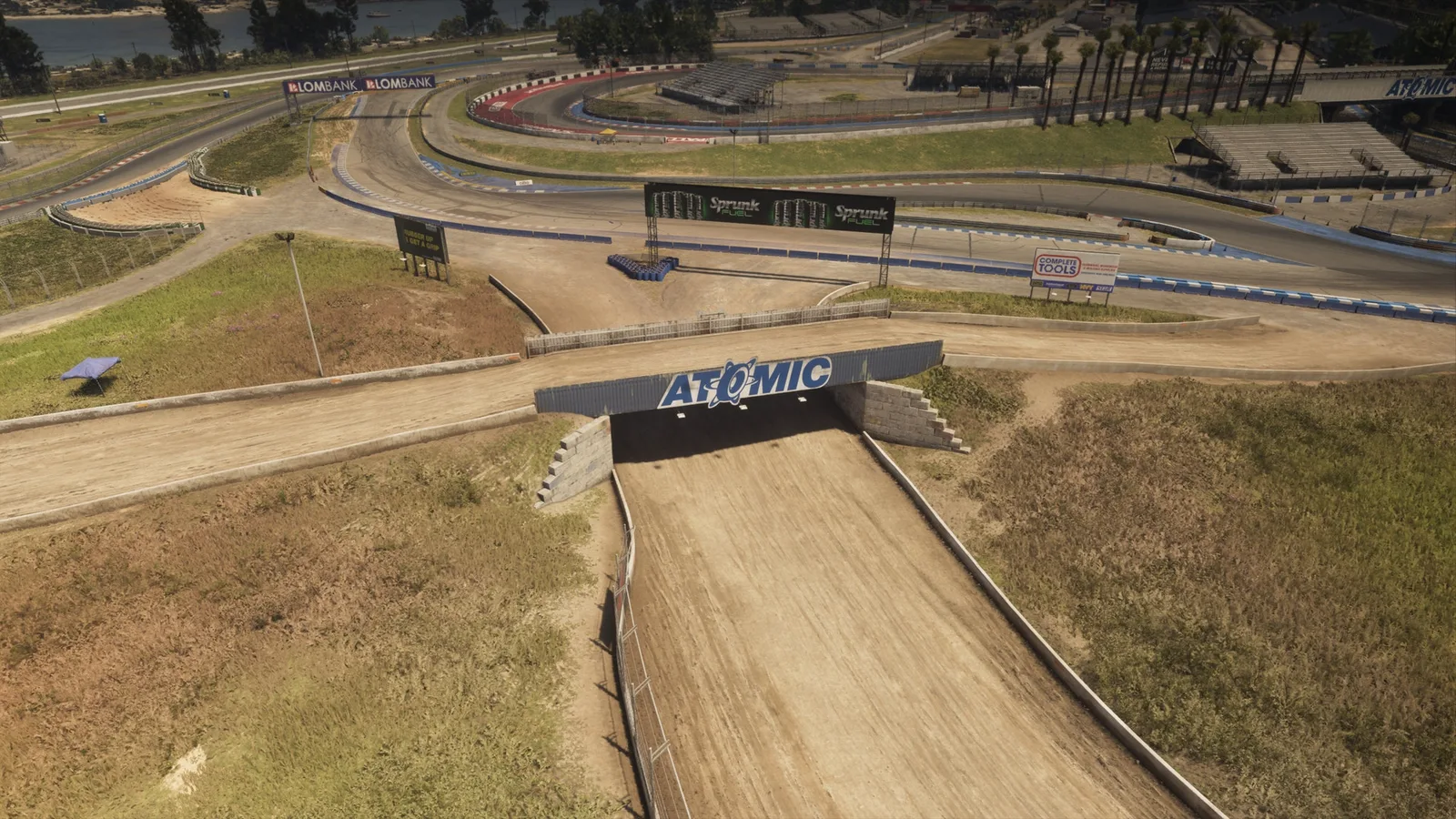
66. Gellhorn Rally X
Wo: Under the bridge over the dirt race track connecting two parts of the rally track together
-
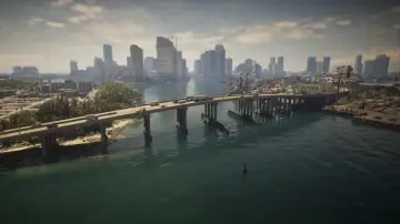
67. Gloriana Key North
Wo: Under the bridge over Catalan Bay connecting Port Vice City and Gloriana Key
-
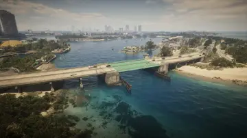
68. Gloriana Key West
Wo: Under the bridge over the ocean connecting Gloriana Key and Catalan Key
-
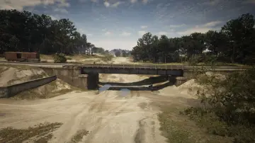
69. Goliath Global Quarry
Wo: Under the bridge over the quarry connecting train tracks in Breakwater Quarry
-
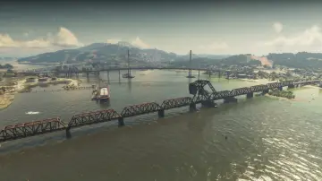
70. Gowing Railroad Bridge
Wo: Under the bridge over Draper Bay connecting the railroad between Draper Island and Port Gellhorn
-
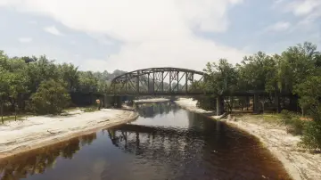
71. Graffiti Bridge
Wo: Under the bridge over the Kelly River connecting Gellhorn and Frogswater
-
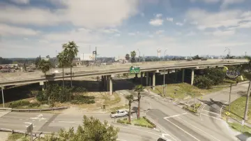
72. Hamlet Overpass
Wo: Under the bridge over Palmetto Ave connecting north and south Hamlet
-
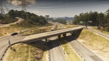
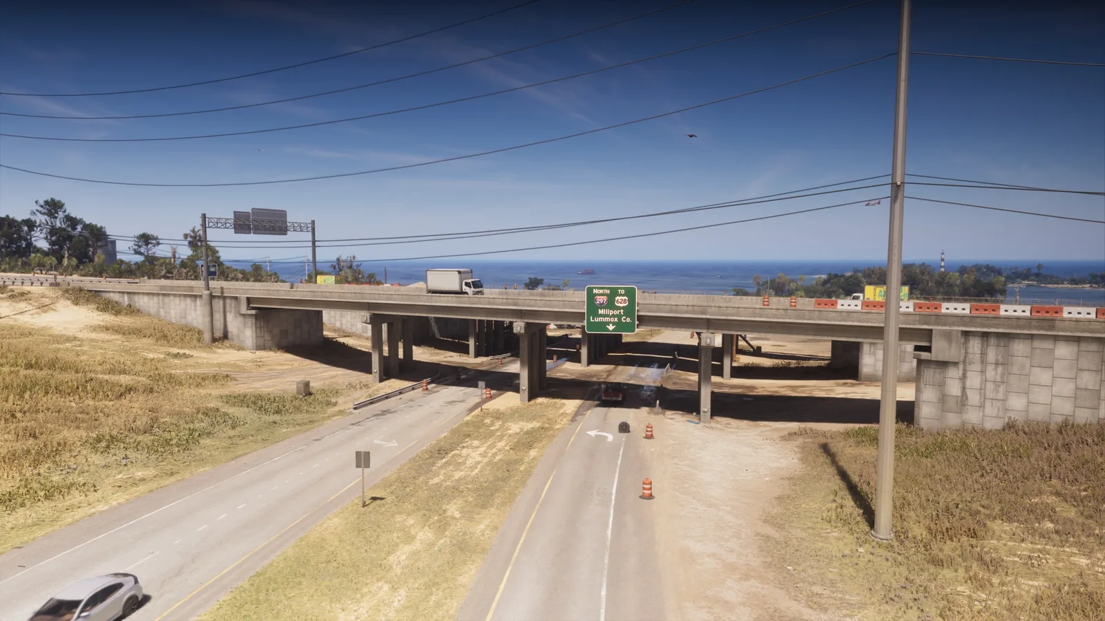
73. Interstate 297 Overpass
Wo: Under the bridge over US-628 connecting north and south Tidewater Dr
-
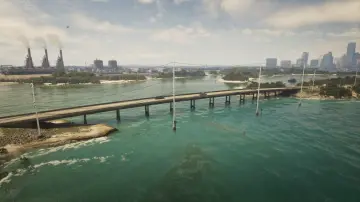
74. Isla Maldia
Wo: Under the bridge over Peregrine Bay connecting north and south Corsair Key
-
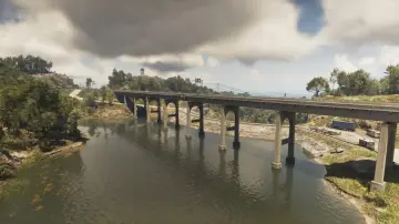
75. Kalaga Reservoir
Wo: Under the bridge over the Kalaga Reservoir connecting west and east Forest mill Rd
-
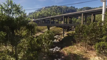
76. Kalaga River
Wo: Under the bridge over the Kalaga River connecting north and south Tallaloko Lake Rd between North Kelly County and North Leonard County
-
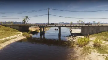
77. Kalaga River Mouth
Wo: Under the bridge over the Kalaga River connecting east and west SR-27 between North Kelly County and North Leonard County
-
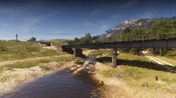
78. Kalaga River Railroad
Wo: Under the bridge over the Kalaga River connecting the railroad between North Kelly County and North Leonard County
-
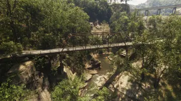
79. Kalaga River South
Wo: Under the bridge over the Kalaga River connecting a hilly road in East Lummox County
-
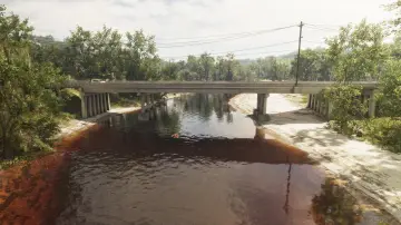
80. Kelly River North
Wo: Under the bridge over the Kelly River connecting east and west SR-32 between Gellhorn and Frogswater
-
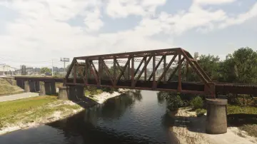
81. Kelly River Railroad East
Wo: Under the bridge over the Kelly River connecting the railroad between Ambrosia and Emerald Springs
-
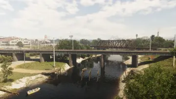
82. Kelly River Railroad West
Wo: Under the bridge over the Kelly River connecting the railroad between Ambrosia and Emerald Springs
-
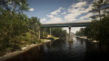
83. Kelly River South
Wo: Under the bridge over the Kelly River connecting north and south SR-32 between Frogswater and Emerald Springs
-
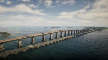
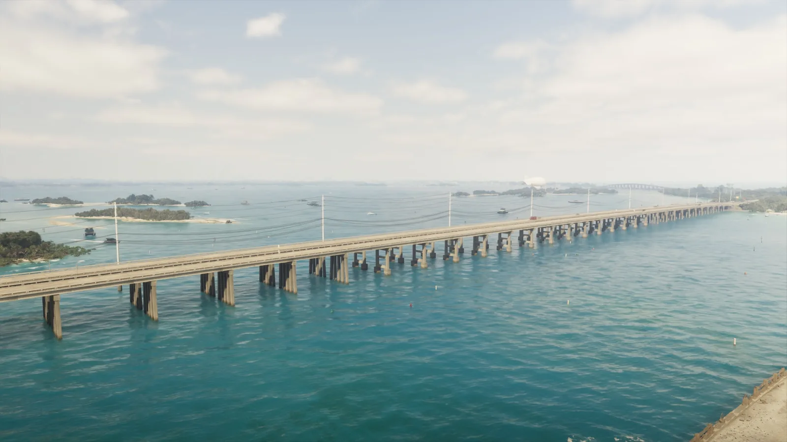
84. Keylime Causeway
Wo: Under the bridge over the ocean connecting Abismo Key and Key Lento
-
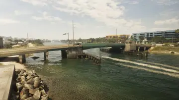
85. Leith River Central
Wo: Under the bridge over the Leith River connecting Vinewood Beach and Waning Sands
-
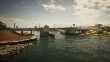
86. Leith River North
Wo: Under the bridge over the Leith River connecting Vinewood Beach and Waning Sands
-
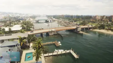
87. Leith River South
Wo: Under the bridge over the Leith River connecting Vinewood Beach and Waning Sands
-
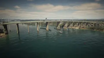
88. Lento Causeway
Wo: Under the bridge over Gambit Bay connecting Key Lento and Hamlet
-
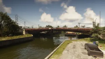
89. Leonida Auto World
Wo: Under the bridge over the river connecting north and south SR-25 in Balsero
-
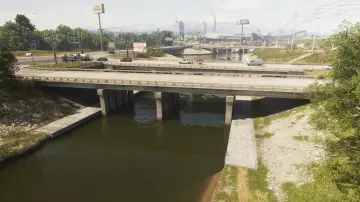
90. Leonida Canal
Wo: Under the bridge over the canal connecting east and west CR 62 between South Leonard County and Emerald Springs
-
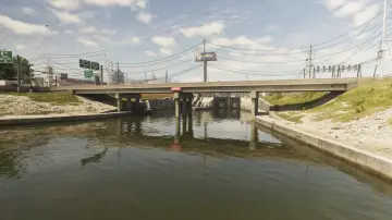
91. Leonida Canal North
Wo: Under the bridge over the canal connecting US-70 in Ambrosia
-
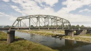
92. Leonida Canal Railroad
Wo: Under the bridge over the canal connecting the east and west railroad between Balsero and Emerald Springs
-
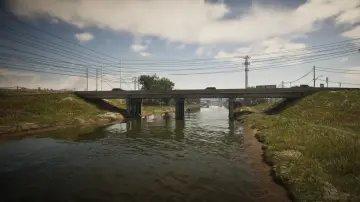
93. Leonida Canal South
Wo: Under the bridge over the canal connecting South Leonard County and Emerald Springs
-
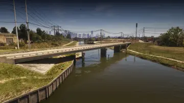
94. Leonida Canal Southeast
Wo: Under the bridge over the canal connecting north and south SR-25 in Balsero
-
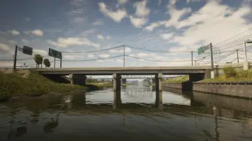
95. Leonida Canal Southwest
Wo: Under the bridge over the canal connecting east and west Cargo Rd between Balsero and Emerald Springs
-
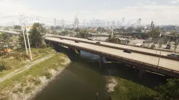
96. Leonida Power and Light
Wo: Under the bridge over the canal connecting east and west US-10 in Balsero
-
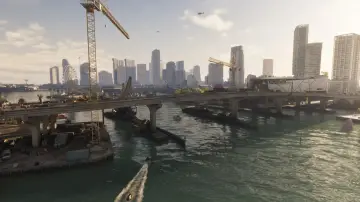
97. Macalister Causeway
Wo: Under the bridge over the water connecting Waxman Island and Downtown
-
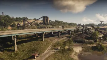
98. Macalister Gold Mine
Wo: Under the bridge over the Macalister Gold Mine connecting east and west US-628
-
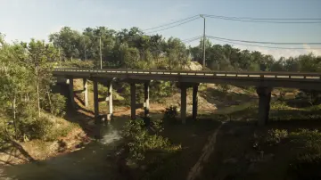
99. Macalister River Central
Wo: Under the bridge over the Macalister River connecting east and west Sassafrass Rd between Mount Kalaga National Park and East Lummox County
-
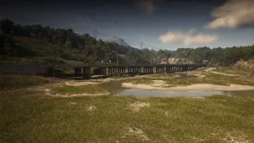
100. Macalister River North
Wo: Under the bridge over the Macalister River connecting east and west US-628
-
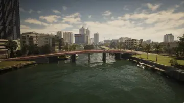
101. Mariposa Avenue
Wo: Under the bridge over the river connecting Washington Island and Washington Beach
-
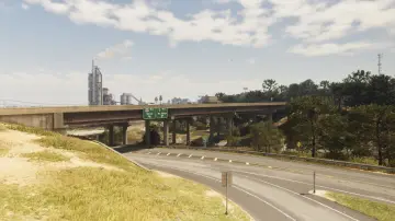
102. Millport Overpass
Wo: Under the bridge over the Tallaloko River connecting north and south Millport
-
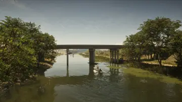
103. Muspachee River East
Wo: Under the bridge over the Muspachee River connecting Buckskin Swamp and West Vice-Dale County
-
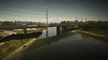
104. Muspachee River West
Wo: Under the bridge over the Muspachee River connecting West Vice-Dale County and South Kelly County
-
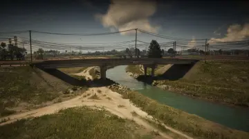
105. Nehrling River East
Wo: Under the bridge over the Nehrling River connecting north and south Pigeon Plum Rd between Capri and North Mariana County
-
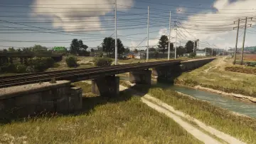
106. Nehrling River Railroad
Wo: Under the bridge over the Nehrling River connecting the north and south railroad between Capri and North Mariana County
-
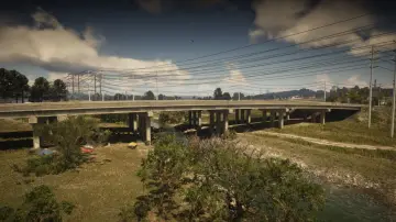
107. Nehrling River West
Wo: Under the bridge over the Nehrling River connecting north and south US-82 between Capri and North Mariana County
-
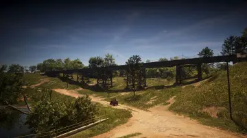
108. North Frogswater Railroad
Wo: Under the bridge over the mountains connecting the railroad heading north and south in Frogswater
-
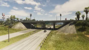
109. North Gellhorn Overpass
Wo: Under the bridge over CR 62 connecting north and south US-183 in Port Gellhorn
-
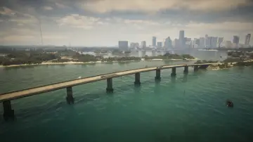
110. North Isla Maldia
Wo: Under the bridge over the ocean connecting north and south Corsair Key
-
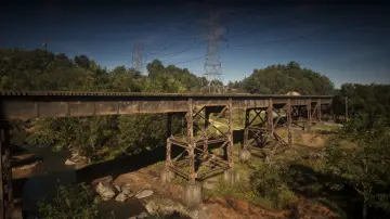
111. North Kalaga Bridge
Wo: Under the bridge over a side road connecting the train tracks from north to south in Mount Kalaga National Park
-
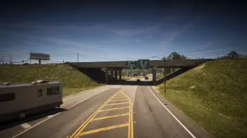
112. North Kelly County Overpass East
Wo: Under the bridge over SR-27 connecting north and south US-35 in North Kelly County
-
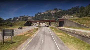
113. North Kelly County Overpass West
Wo: Under the bridge over I-297 connecting Moonstone Hwy to I-297 in North Kelly County
-
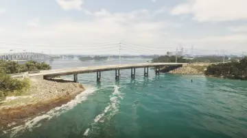
114. North Key Lento
Wo: Under the bridge over Gambit Bay connecting Key Lento and Corsair Key
-
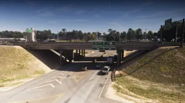
115. North Leonard County Overpass
Wo: Under the bridge over US-628 connecting east and west I-297 between North Leonard County and Waning Sands
-
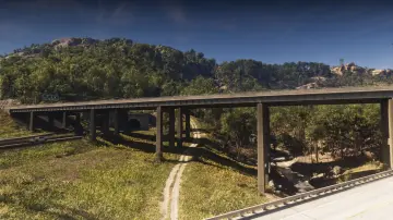
116. North Leonard County Overpass North
Wo: Under the bridge over the road connecting east and west I-297 between North Kelly County and North Leonard County
-
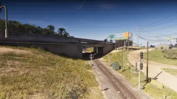
117. North Leonard County Railway
Wo: Under the bridge over the train tracks connecting east and west I-297 in North Leonard County
-
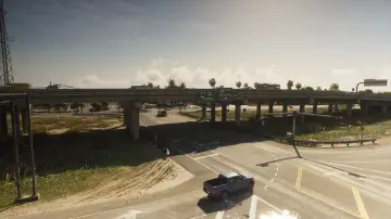
118. North Mariana County Overpass
Wo: Under the bridge over Seabell Ave connecting east and west US-82 between Grassrivers and North Mariana County
-
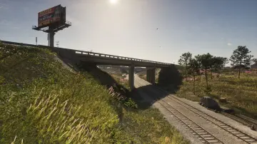
119. North Mariana County Railroad Southeast
Wo: Under the bridge over the railroad connecting east and west SW 3rd Ave in North Mariana County
-
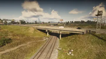
120. North Mariana County Railroad Southwest
Wo: Under the bridge over the railroad connecting north and south Seabell Ave in North Mariana County
-
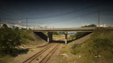
121. North Mariana County Railroad West
Wo: Under the bridge over the railroad connecting north and south Union Rd in North Mariana County
-
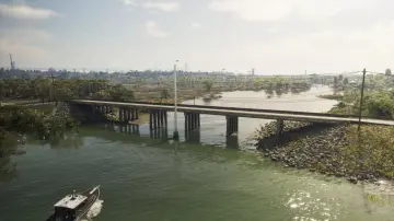
122. North Watson Bay
Wo: Under the bridge over the river connecting Watson Bay and the Grasslands
-
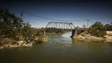
123. Old Fort Road Bridge
Wo: Under the bridge over the river connecting east and west Longneck Trl between Shoeless Keys and Pelican Valley
-
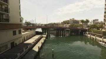
124. Oleander Boulevard
Wo: Under the bridge over the river connecting Washington Island and Oldby Island
-
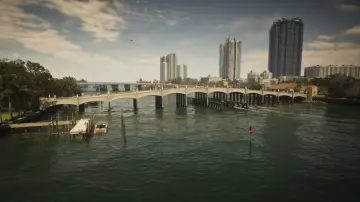
125. Oleander Bridge
Wo: Under the bridge over the river connecting Washington Island and the Leaf Links
-
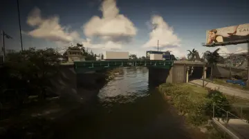
126. Omega Parkway
Wo: Under the bridge over the river connecting east and west Omega Pkwy in Balsero
-
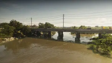
127. Pelican River
Wo: Under the bridge over the Pelican River connecting Hamlet and Grassrivers
-
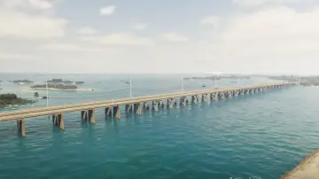
128. Permit Causeway
Wo: Under the bridge over the ocean connecting Mile Zero Air Station and Abismo Key
-
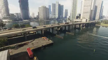
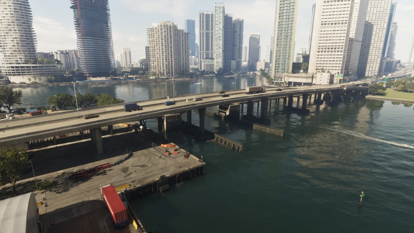
129. Port VC Bridge
Wo: Under the bridge over Catalan Bay connecting Port Vice City and Downtown
-
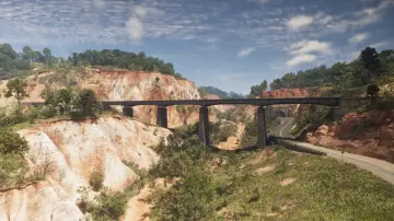
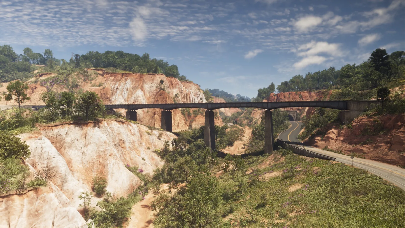
130. Providence Canyon Railroad
Wo: Under the bridge over the mountains connecting the train tracks north and south in Manifest Canyon
-
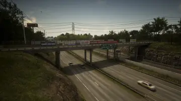
131. Raceway Overpass Central
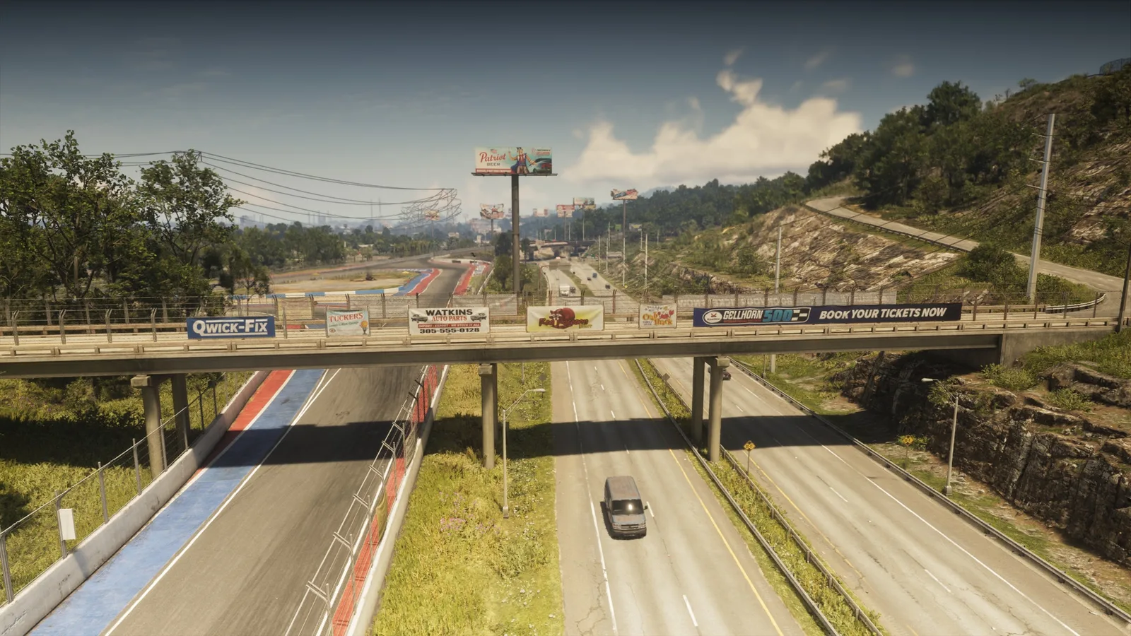
Wo: Under the bridge over I-404 connecting Gellhorn and the raceway
-
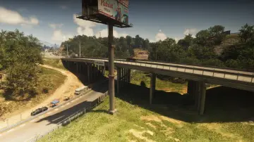
132. Raceway Overpass East
Wo: Under the bridge over the raceway connecting north and south CR 62 in Gellhorn
-
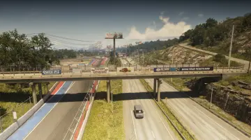
133. Raceway Overpass North
Wo: Under the bridge over the I-404 connecting the east and west part of a service road in Gellhorn
-
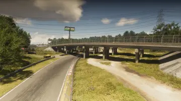
134. Raceway Overpass South
Wo: Under the bridge over the racetrack connecting north and south I-404 in Gellhorn
-
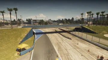
135. Raceway Paddock Bridge
Wo: Under the bridge over the racetrack connecting entrance to the raceway with the buildings in the center of the track
-
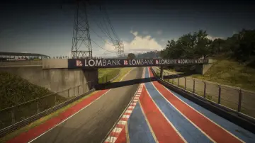
136. Raceway Parking
Wo: Under the bridge over the racetrack connecting Gellhorn to the raceway parking lot
-
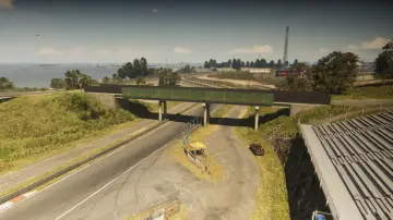
137. Raceway Stands
Wo: Under the bridge over the racetrack connecting two parts of the stands for spectators
-
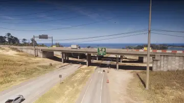
138. Richard Barebone Overpass East
Wo: Under the bridge over Pitcher Rd connecting north and south I-97
-
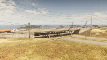
139. Richard Barebone Overpass West
Wo: Under the bridge over Pitcher Rd connecting north and south I-97
-
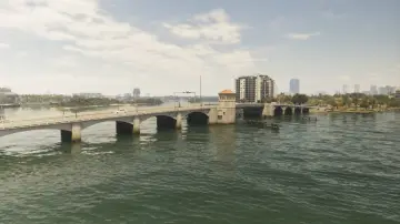
140. Rivo Bridge
Wo: Under the bridge over the water connecting Catalan Island and Bayside
-
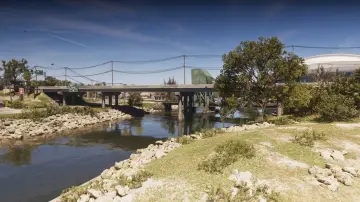
141. RON Gas - Balsero
Wo: Under the bridge over the canal connecting north and south SR-25 in Balsero
-
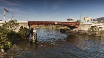
142. S-17 Canal Drawbridge Central
Wo: Under the bridge over the canal connecting South Leonard County and La Perle
-
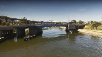
143. S-17 Canal Drawbridge North
Wo: Under the bridge over the canal connecting Belville and La Perle
-
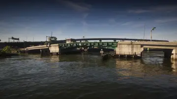
144. S-17 Canal Drawbridge South
Wo: Under the bridge over the canal connecting Balsero and La Perle
-
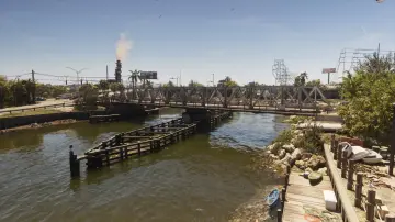
145. S-17 Canal Swing Bridge
Wo: Under the bridge over the canal connecting north and south NW 27th St in Balsero
-
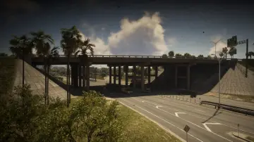
146. Salton Overpass
Wo: Under the bridge over US-35 connecting east and west I-404 in Salton
-
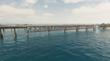
147. Saltrock Bridge
Wo: Under the bridge over the ocean connecting Mile Zero Air Station and Abismo Key
-
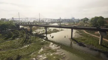
148. Saputka River
Wo: Under the bridge over the Saputka River connecting north and south Moonstone Hwy between Port Gellhorn and Manifest Canyon
-
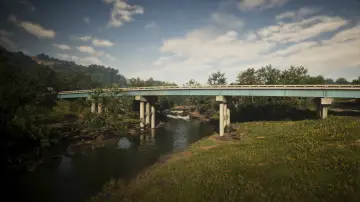
149. Saputka River East
Wo: Under the bridge over the Saputka River connecting north and south US-70 between Port Gellhorn and Manifest Canyon
-
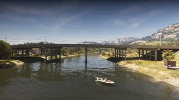
150. Saputka River Mouth
Wo: Under the bridge over the Saputka River connecting north and south US-35 between North Kelly County and Ambrosia
-
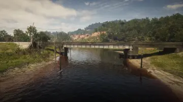
151. Saputka River Railroad
Wo: Under the bridge over the Saputka River connecting the east and west of the railroad between Frogswater and Gellhorn
-
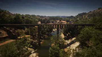
152. Saputka River Railroad East
Wo: Under the bridge over the Saputka River connecting the railroad heading north and south between North Kelly County and Frogswater
-
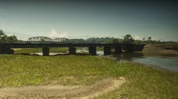
153. Saputka River Railroad North
Wo: Under the bridge over the Saputka River connecting the railroad between Manifest Canyon and Port Gellhorn
-
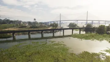
154. Saputka River Railroad West
Wo: Under the bridge over the Saputka River connecting the railroad between Port Gellhorn and Draper Island
-
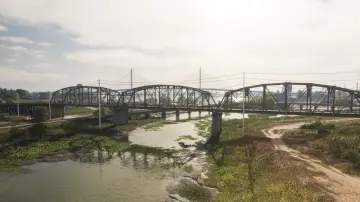
155. Saputka River West
Wo: Under the bridge over the Saputka River connecting north and south SR-45 between Port Gellhorn and Manifest Canyon
-
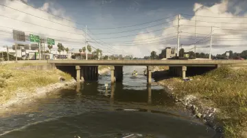
156. Seabell Avenue
Wo: Under the bridge over the canal connecting Breakwater Quarry and VCIA
-
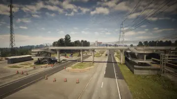
157. SND Station Footbridge
Wo: Under the bridge over US-82 connecting the two sides of the road for pedestrians betweeen Grassrivers and North Mariana County
-
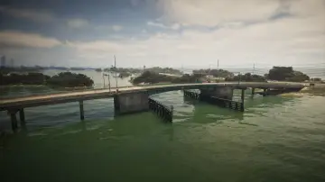
158. South Isla Maldia
Wo: Under the bridge over Peregrine Bay connecting Corsair Key and Shoeless Keys
-
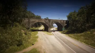
159. South Kalaga Overpass
Wo: Under the bridge over Tallaloko Lake Rd connecting east and west Forest Mill Rd in Mount Kalaga National Park
-
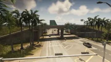
160. South Kelly County Overpass
Wo: Under the bridge over I-404 connecting north and south US-183 in South Kellly County
-
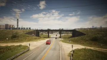
161. South Leonard County Railroad North
Wo: Under the bridge over a road connecting the north and south train tracks in South Leonard County
-
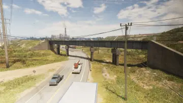
162. South Leonard County Railroad South
Wo: Under the bridge over SR-25 connecting the north and south train tracks in South Leonard County
-
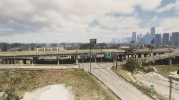
163. South Vice-Dale County Overpass
Wo: Under the bridge over Calderone Ave connecting east and west US-82 in Hamlet
-
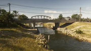
164. Southside West
Wo: Under the bridge over the canal connecting Bluegrass and Southside
-
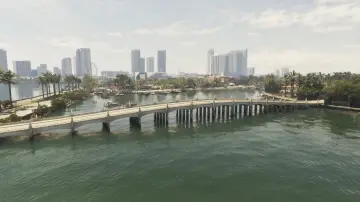
165. Starfish Island
Wo: Under the bridge over the water connecting Waxman Island and Starfish Island
-
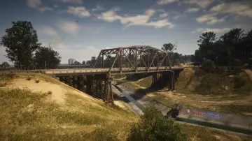
166. Tallaloko River
Wo: Under the bridge over the Tallaloko River connecting north and south Bear Hollow Dr
-
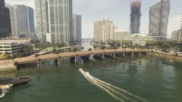
167. Tequesta Bridge
Wo: Under the bridge over Catalan Bay connecting Tequesta and Tequesta Retreat
-
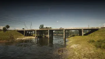
168. Terrapin Road
Wo: Under the bridge over the river connecting North Mariana County and West Vice-Dale County
-
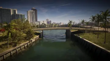
169. Tidal Avenue
Wo: Under the bridge over the water connecting Atlantic Island and Flamingo Island
-
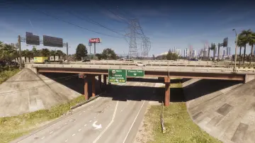
170. Tish-Wocka Flea Market West
Wo: Under the bridge over Omega Pkwy connecting north and south US-35 in Balsero
-
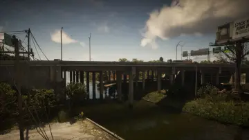
171. Tisha-Wocka Flea Market Bridge
Wo: Under the bridge over the river connecting north and south US-35 in Balsero
-
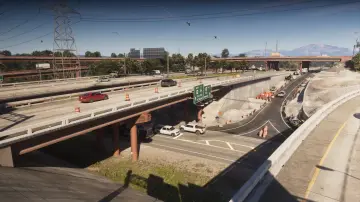
172. Tisha-Wocka Flea Market Central
Wo: Under the bridge over the Omega Pkwy connecting north and south US-35 in Balsero
-
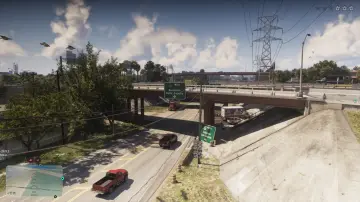
173. Tisha-Wocka Flea Market East
Wo: Under the bridge over the Omega Pkwy connecting north and south US-35 in Balsero
-
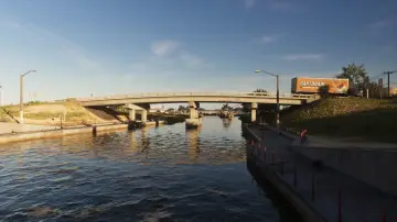
174. Tybee Channel Central
Wo: Under the bridge over the canal connecting Belville and Waning Sands
-
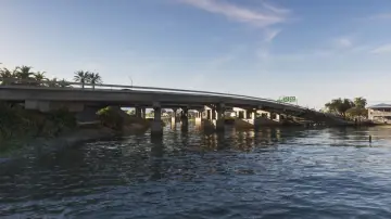
175. Tybee Channel Mouth East
Wo: Under the bridge over the canal connecting Belville and Waning Sands
-
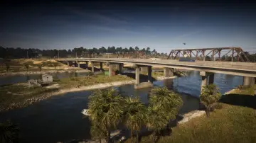
176. Tybee Channel North
Wo: Under the bridge over the canal connecting Belville and Waning Sands
-
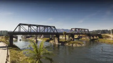
177. Tybee Channel Railroad North
Wo: Under the bridge over the canal connecting Belville and Waning Sands
-
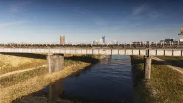
178. Tybee Channel Railroad South
Wo: Under the bridge over the canal connecting Belville and Waning Sands
-
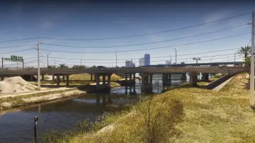
179. Tybee Channel South
Wo: Under the bridge over the canal connecting Belville and Waning Sands
-
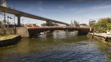
180. Vice River North
Wo: Under the bridge over the canal connecting Balsero and Rockridge
-
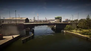
181. Vice River South
Wo: Under the bridge over the canal connecting Salton and Little Cuba
-
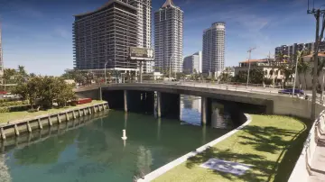
182. Vineyard Drive East
Wo: Under the bridge over the canal connecting east and west Vineyard Dr between Washington Island and Washington Beach
-
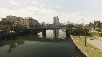
183. Vineyard Drive West
Wo: Under the bridge over the river connecting Penmarch Isle and Washington Island
-
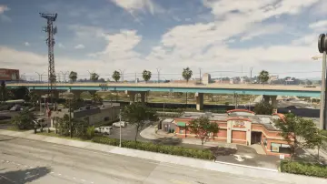
184. Waning Sands Central
Wo: Under the bridge over US-70 connecting north and south I-97 in Waning Sands
-
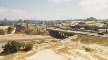
185. Waning Sands Overpass
Wo: Under the bridge over Flamingo Pkwy connecting north and south I-97
-
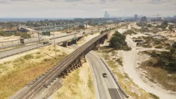
186. Waning Sands Railroad
Wo: Under the bridge over the Flamingo Pkwy connecting the north and south side of the railroad
-
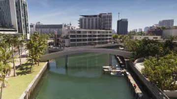
187. Washington Beach Footbridge
Wo: Under the bridge over the canal connecting Washington Beach and Oldby Island
-
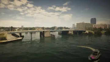
188. Washington Beach West
Wo: Under the bridge over the water connecting Penmarch Isle and Bayside
-
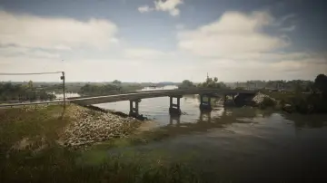
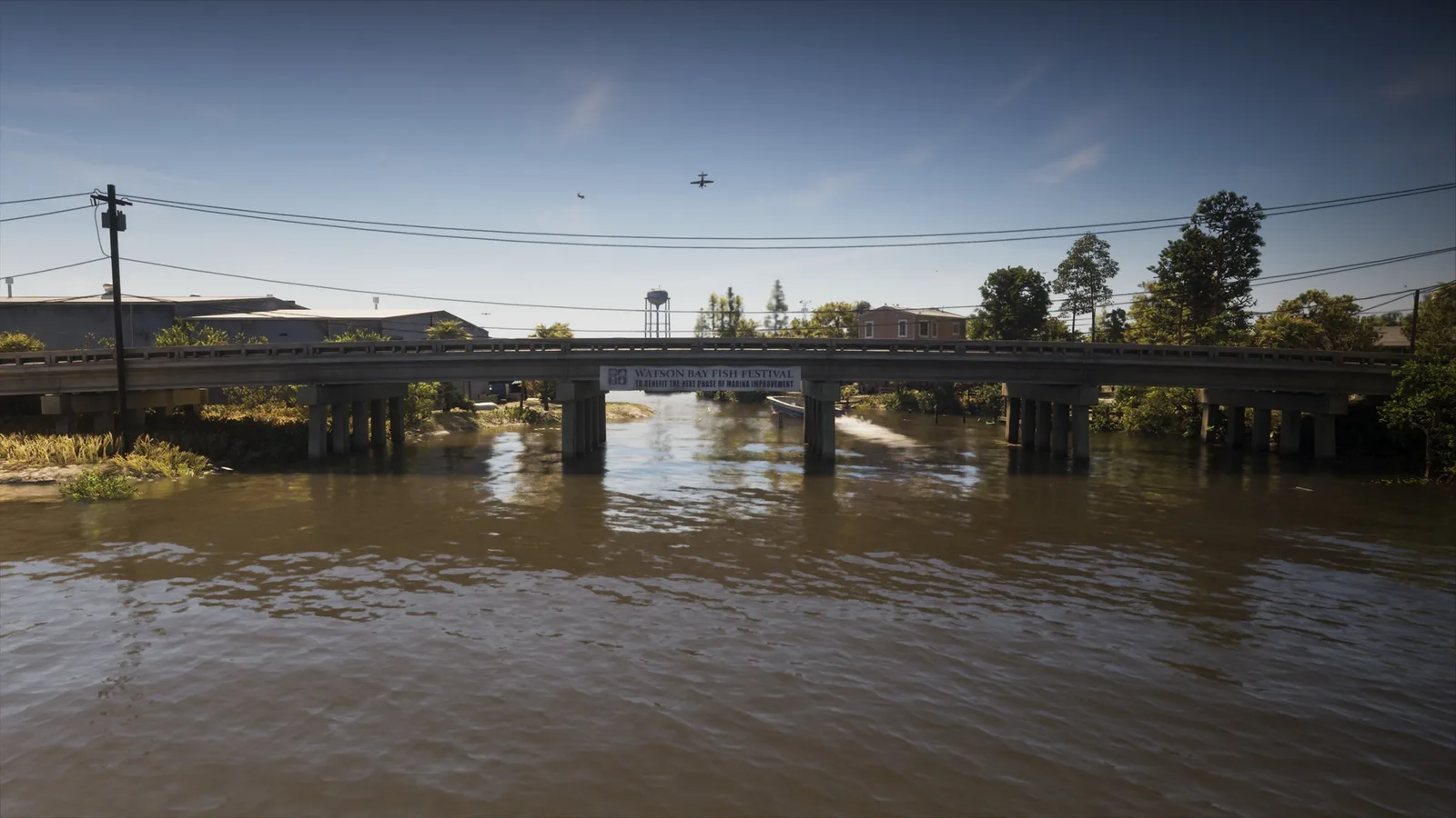
189. Watson Bay
Wo: Under the bridge over the Pelican River connecting Watson Bay and the Paradise RV Park
-
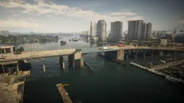
190. Waxman Island East
Wo: Under the bridge over the water connecting Waxman Island and Ocean Beach
-
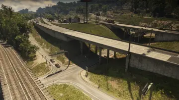
191. West Kalaga Overpass North
Wo: Under the bridge over the road connecting Forest Mill Rd and Rockledge Rd in Mount Kalaga National Park
-
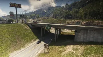
192. West Kalaga Overpass South
Wo: Under the bridge over the road connecting Forest Mill Rd and Rockledge Rd in Mount Kalaga National Park
-
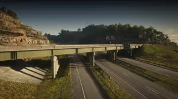
193. West Kalaga Overpass West
Wo: Under the bridge over US-628 connecting US-628 and SR-73 in Mount Kalaga National Park
-
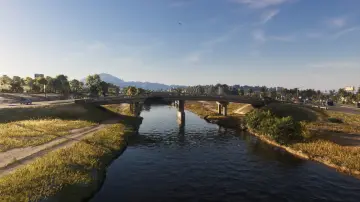
194. West Mall Drive
Wo: Under the bridge over the canal connecting Belville and Waning Sands near the mall
-
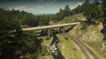
195. West Moreau Overpass
Wo: Under the bridge over the railroad connecting north and south Rockledge Rd in Moreau
-
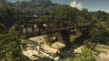
196. West Moreau Railroad North
Wo: Under the bridge over the river connecting the north and south railroad in Moreau
-
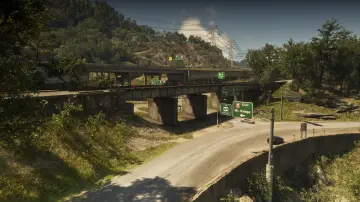
197. West Moreau Railroad South
Wo: Under the bridge over the road connecting Forest Mill Rd and Rockledge Rd in Moreau
-
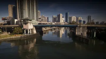
198. West Royale Street
Wo: Under the bridge over the canal connecting Salton and Little Cuba
-
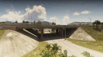
199. West Vice-Dale County North
Wo: Under the bridge over the ramp for I-404 connecting east and west I-404 in West Vice-Dale County
-
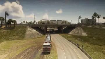
200. West Vice-Dale County Northeast
Wo: Under the bridge over the ramp for I-404 connecting east and west I-404 in West Vice-Dale County
-
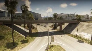
201. West Vice-Dale County South
Wo: Under the bridge over the ramp for I-404 connecting east and west I-404 in West Vice-Dale County
-
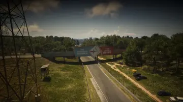
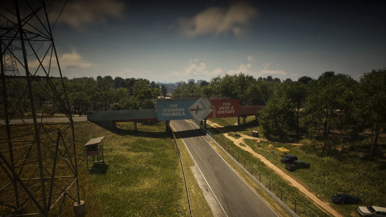
202. Xero Billboard
Wo: Under the bridge over the racetrack connecting two service roads together
Keine Treffer für deine Suche.
Weitere Listen von der Karte
Positionen, Texte und Fotos stammen aus inoffiziellen Community-Daten und können Fehler enthalten. Kartenbasis: offizielle Leonida-Karte © Rockstar Games.