Все 202 пролётов под мостами в GTA 6
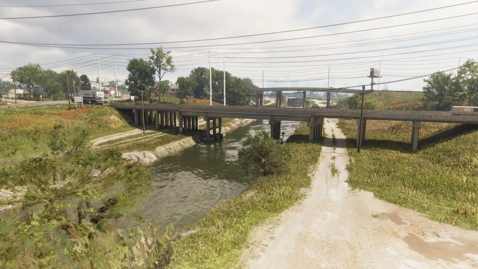
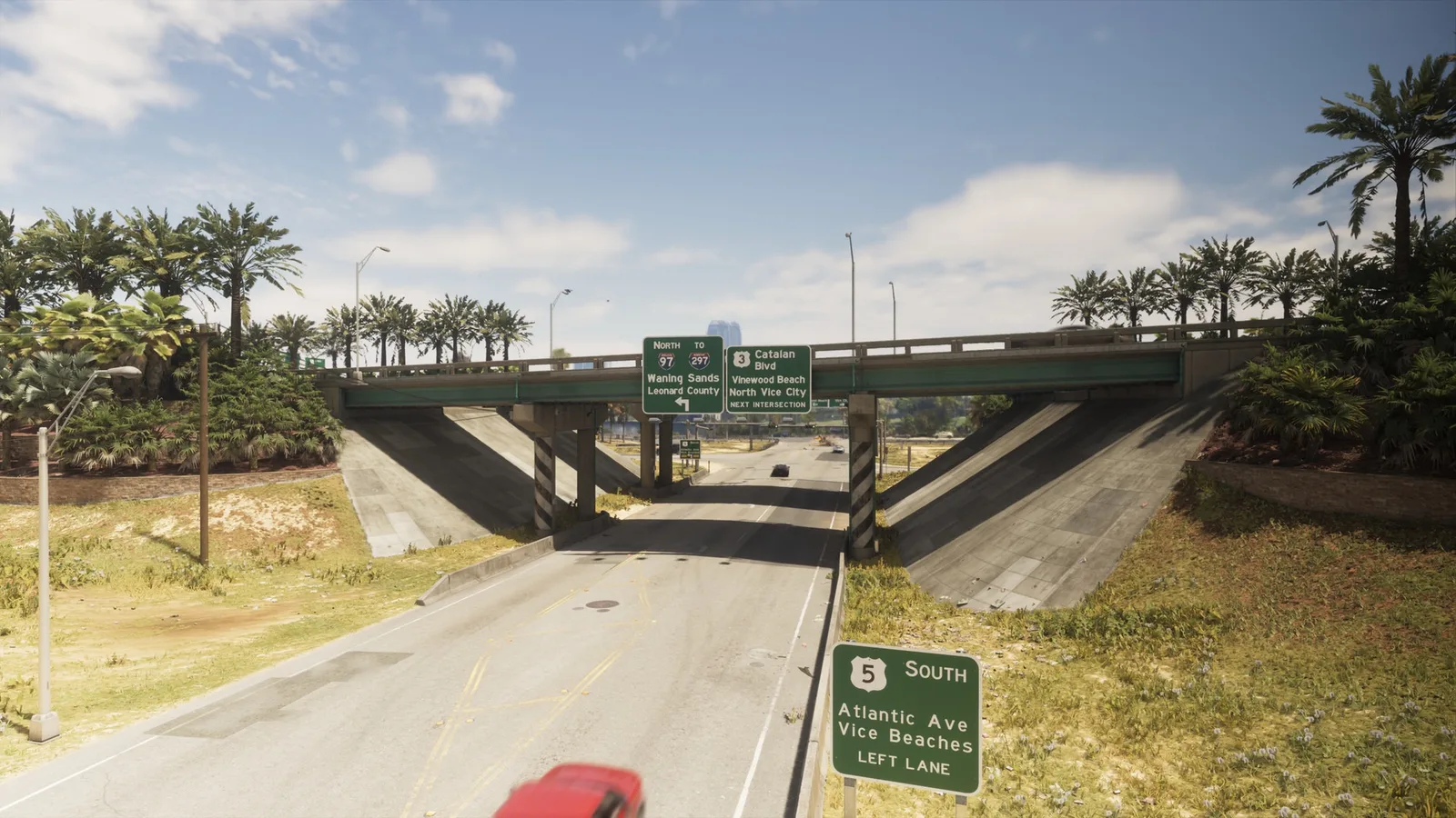
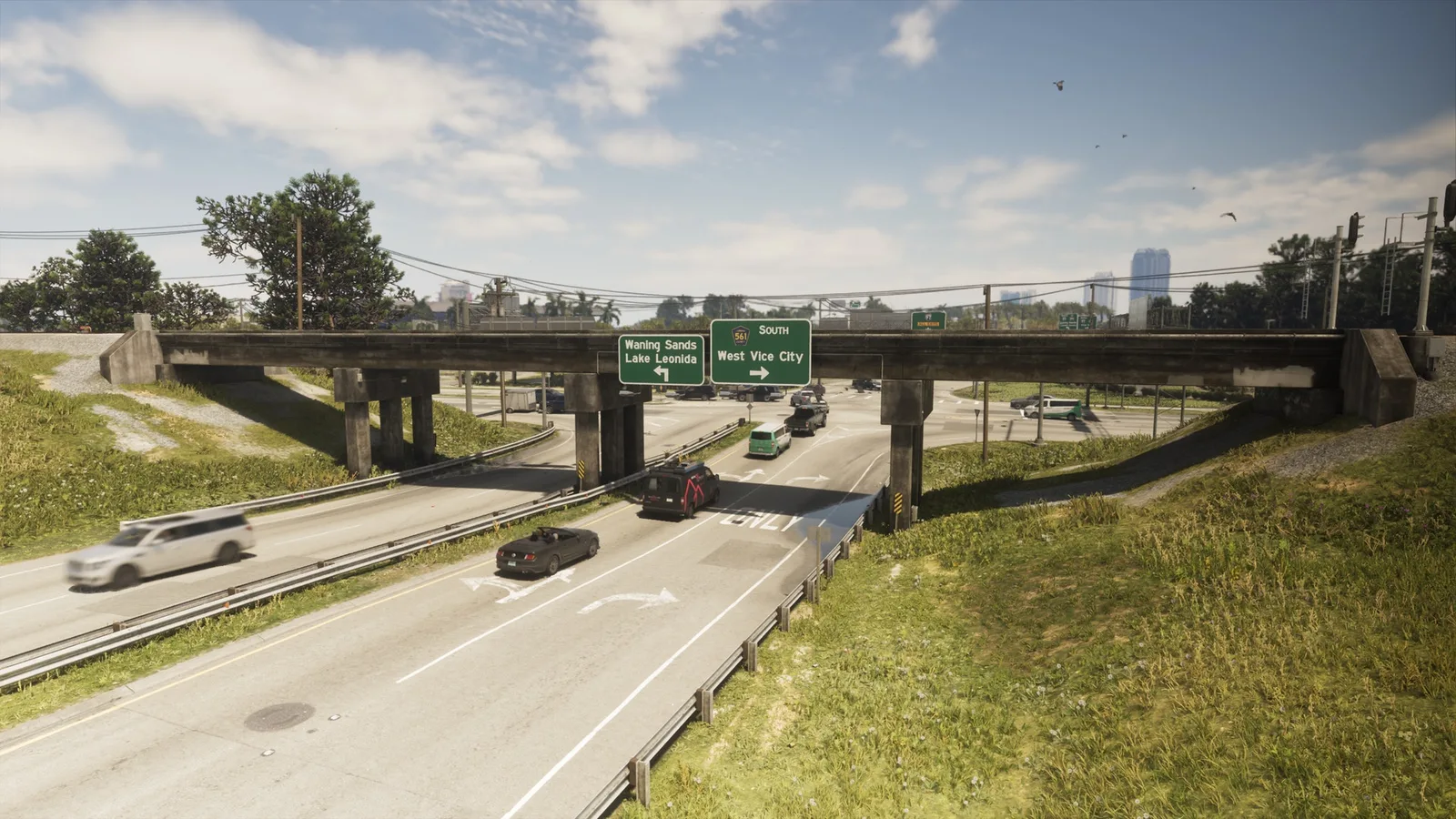
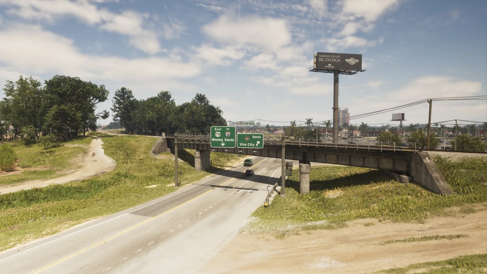
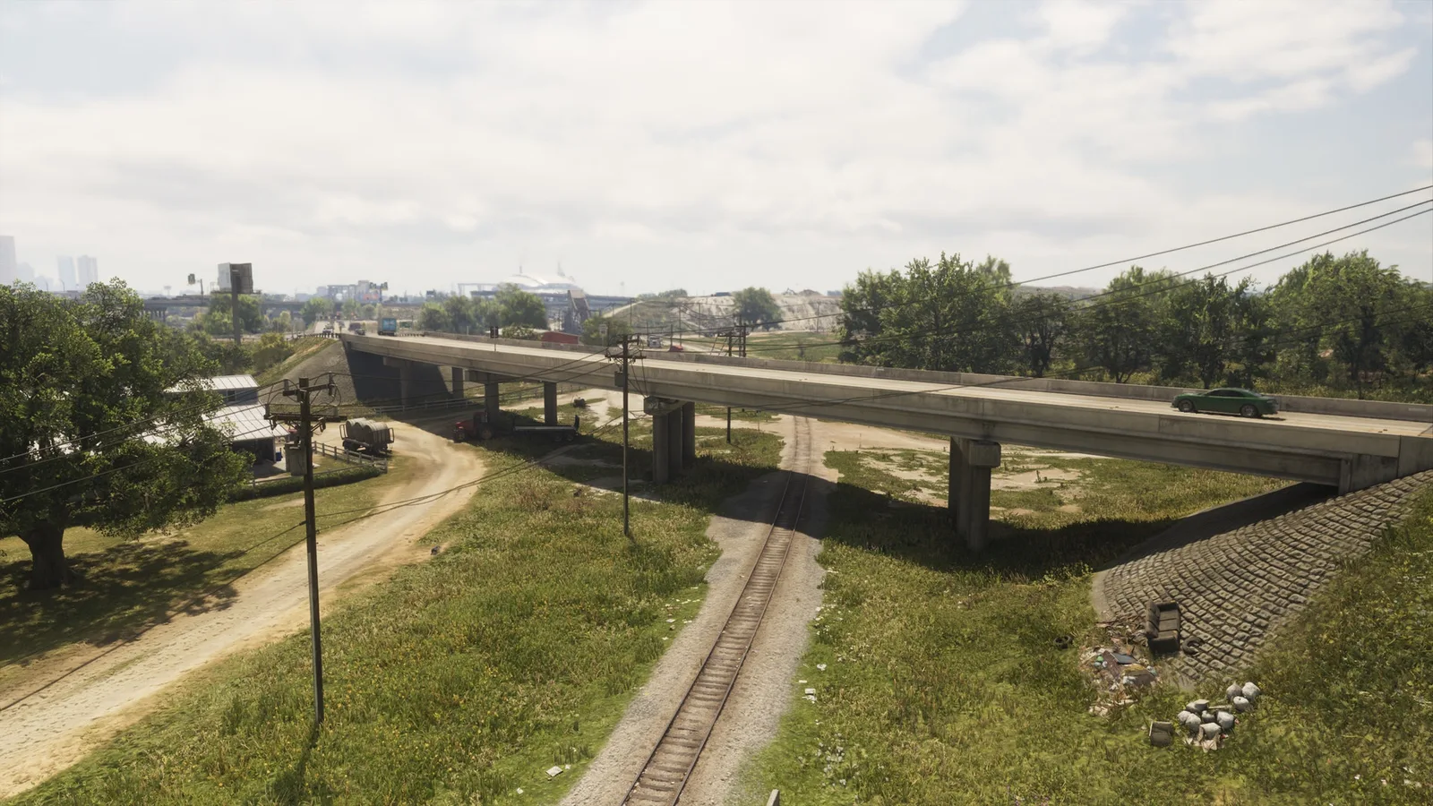
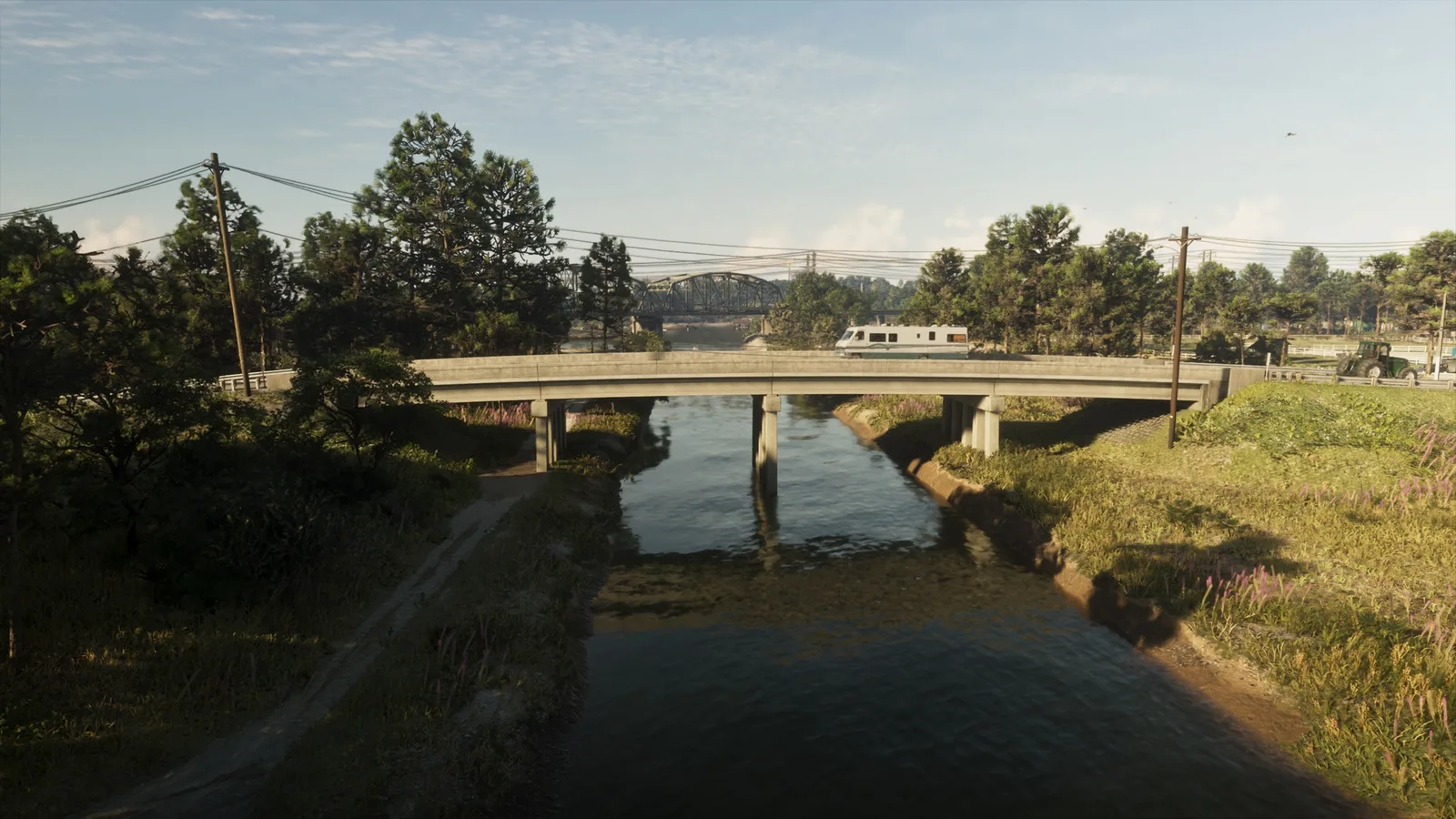
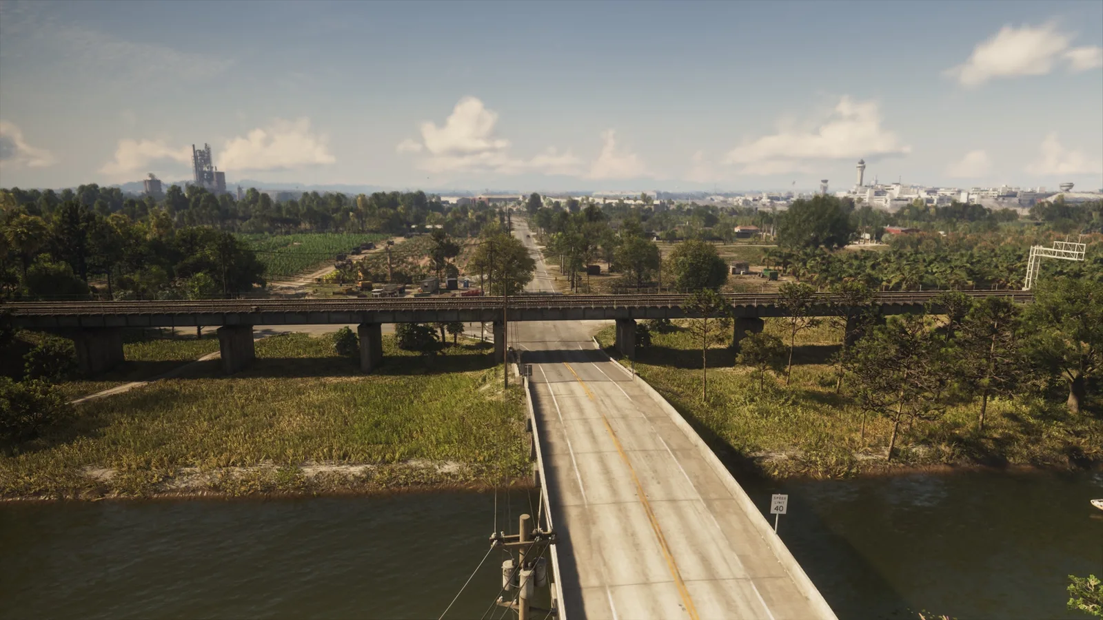
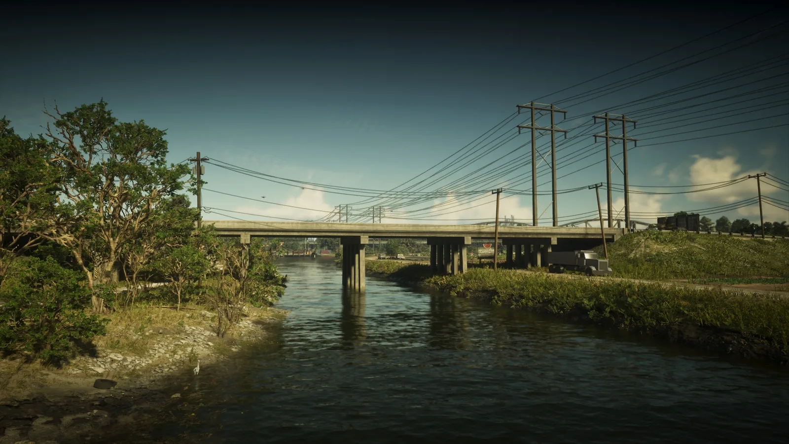
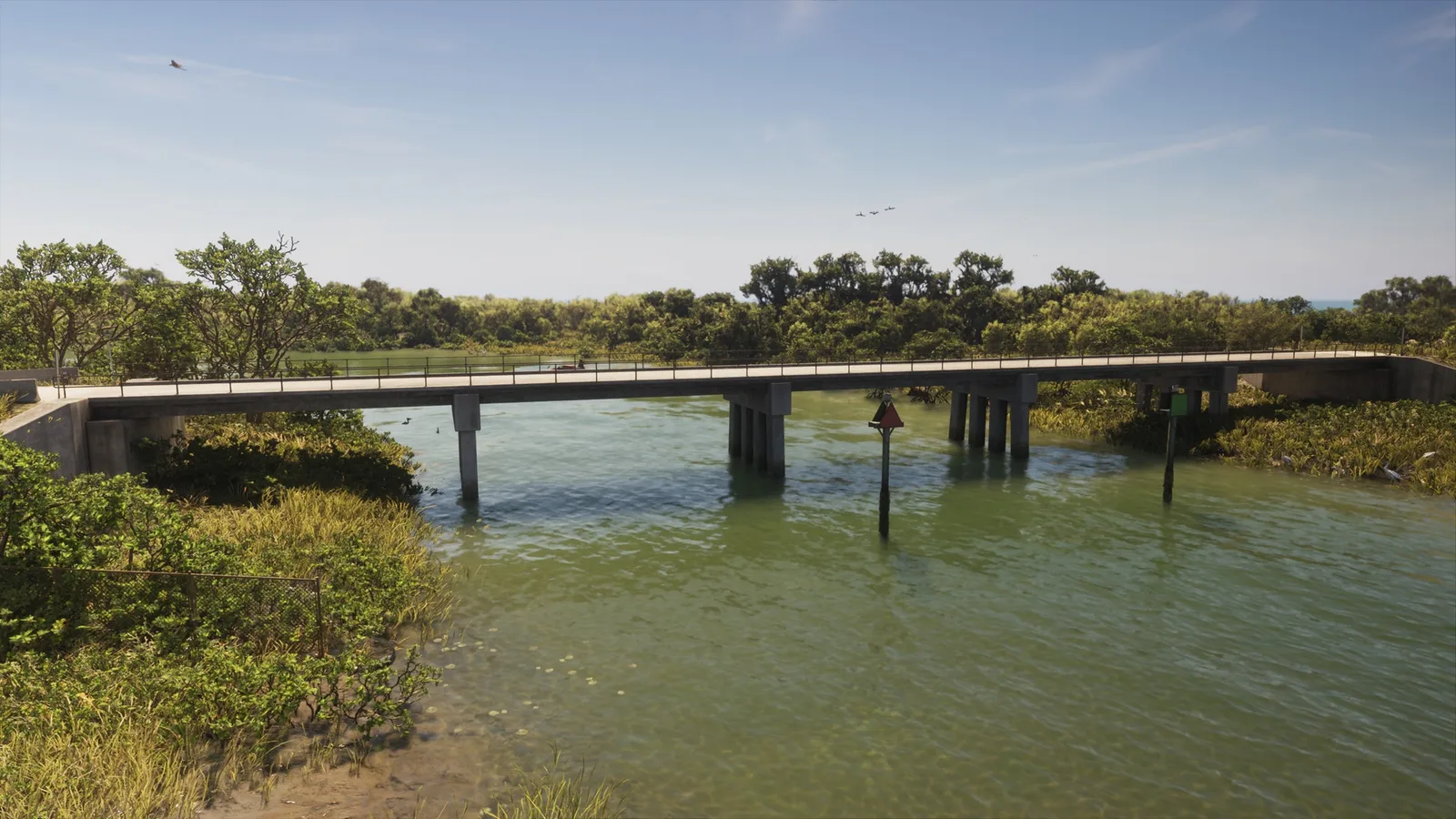
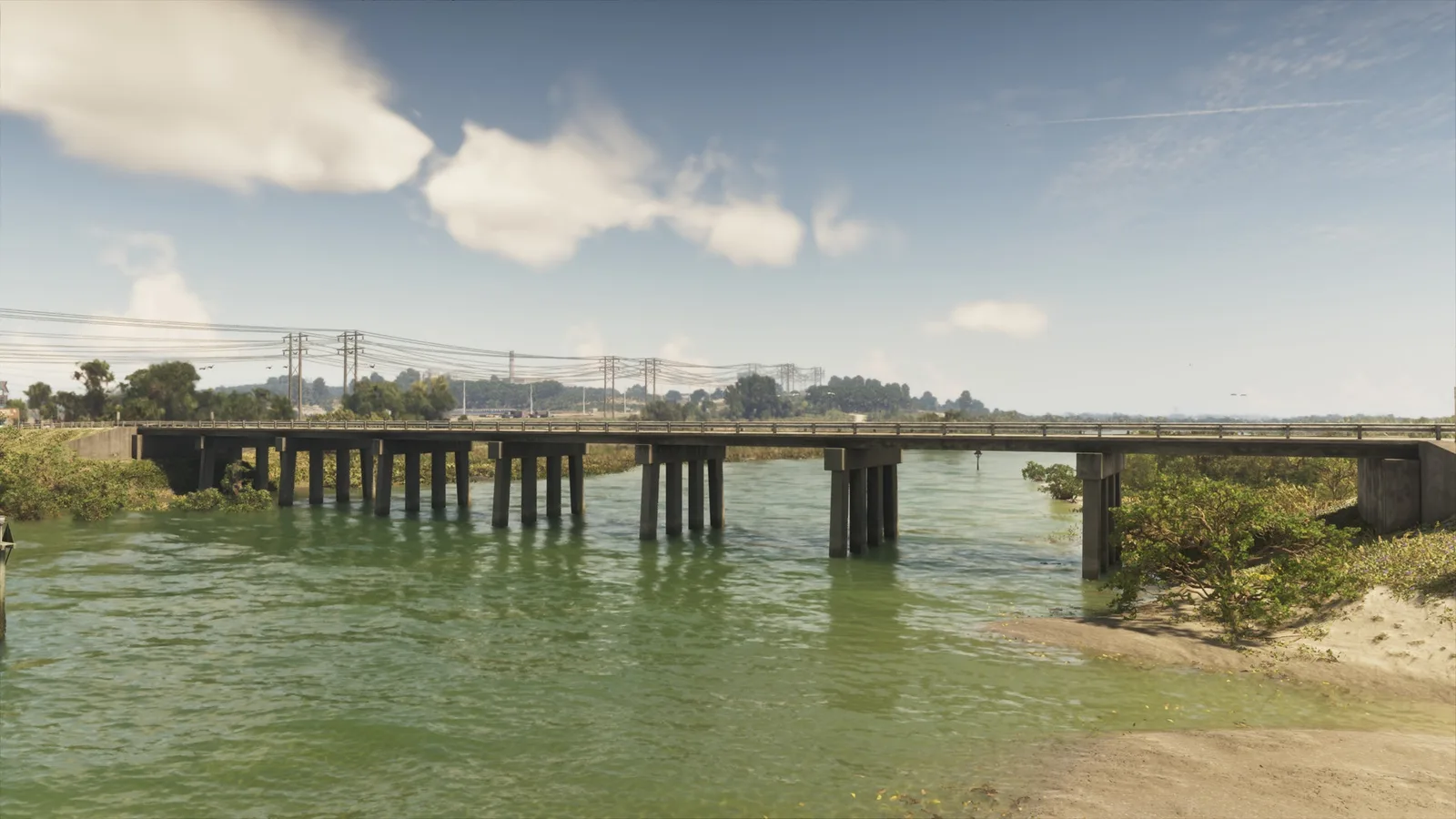
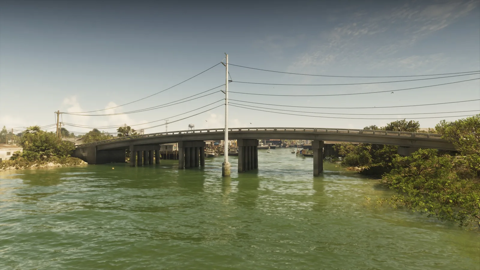
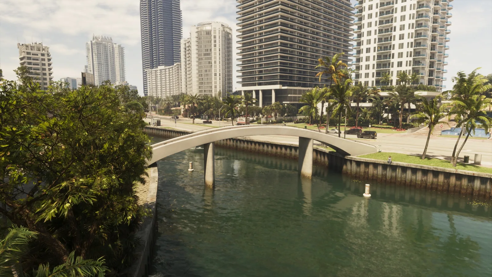
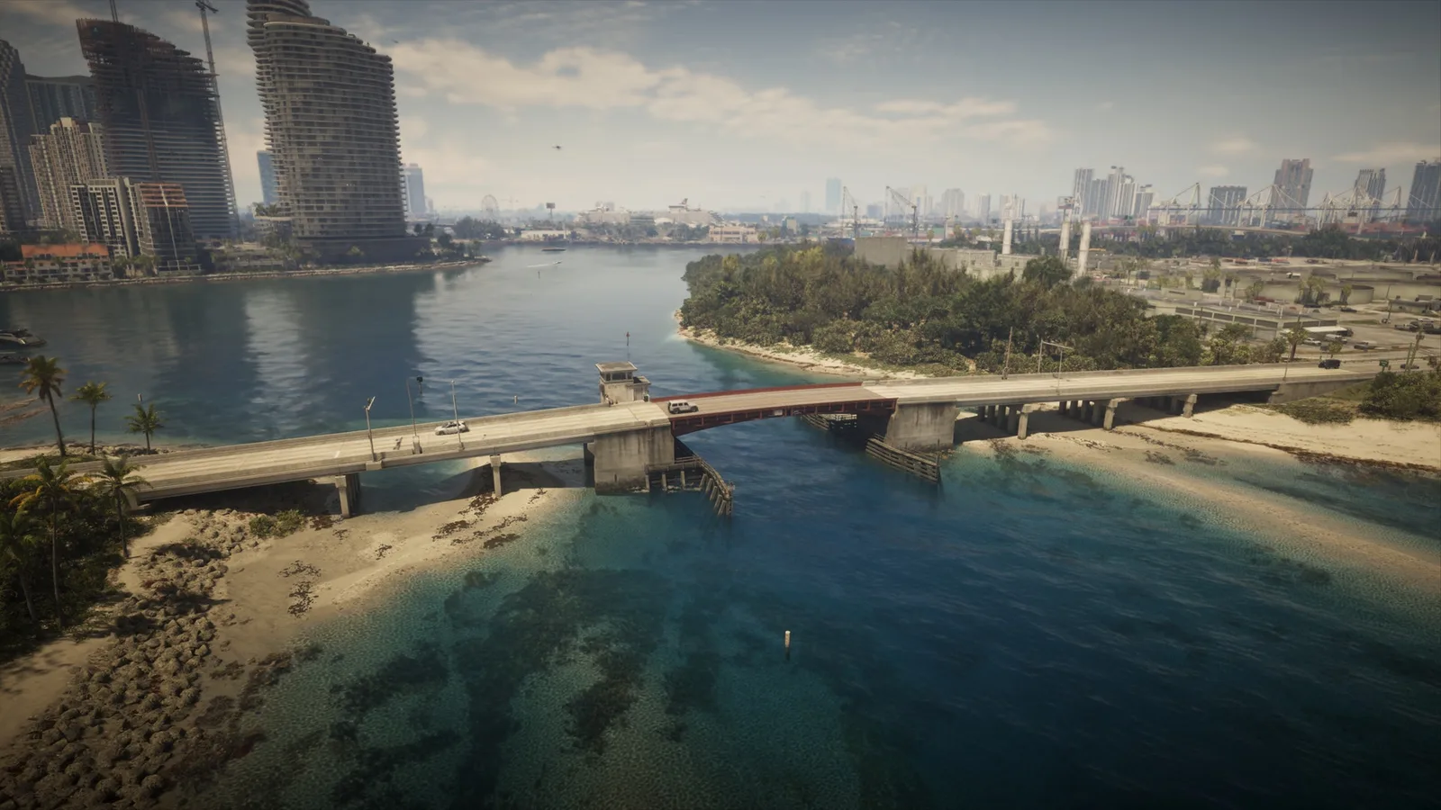
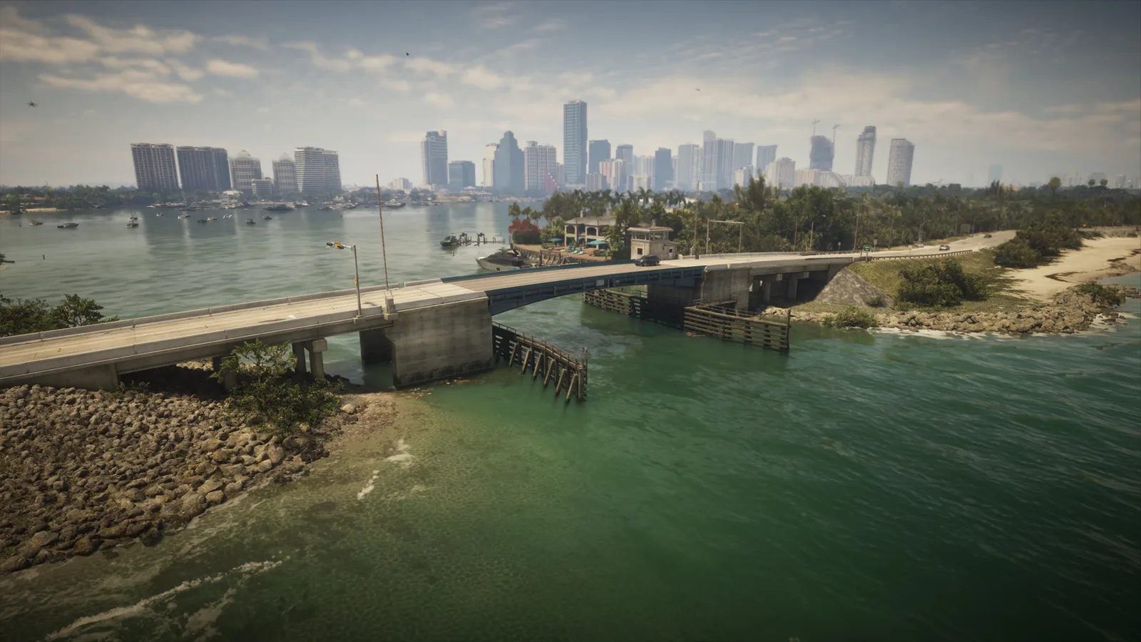
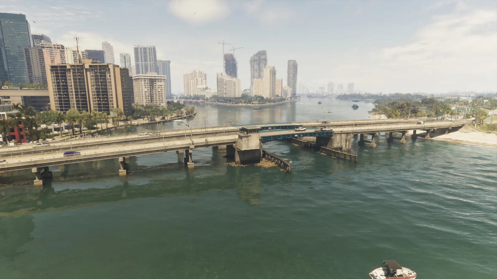
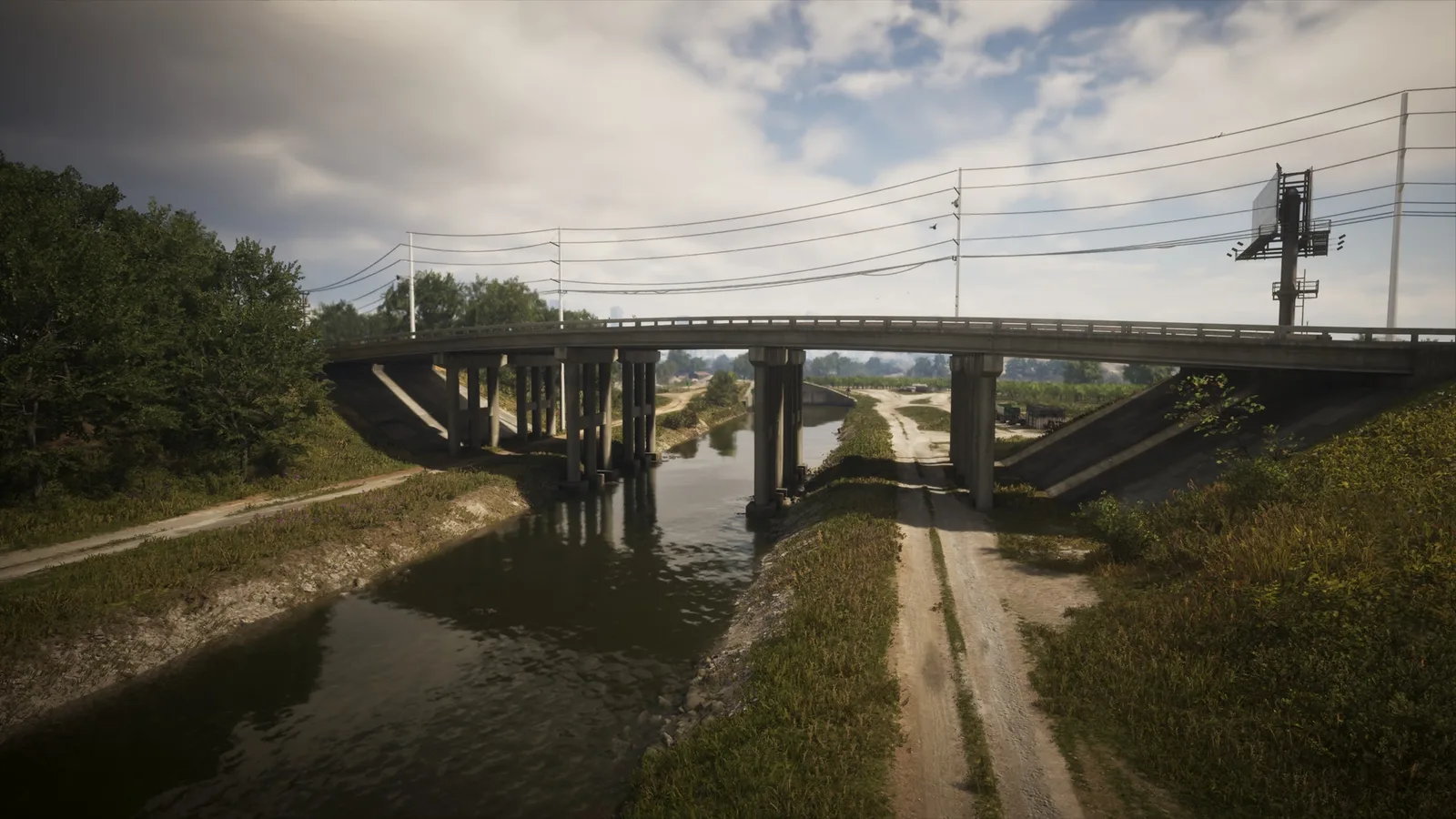
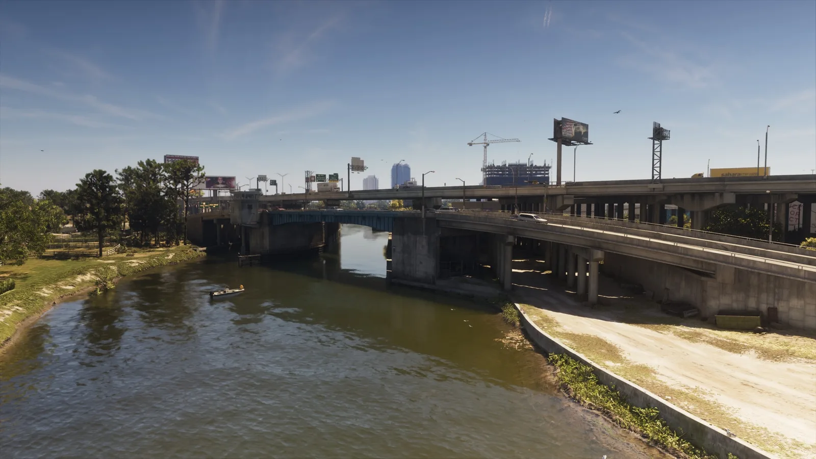
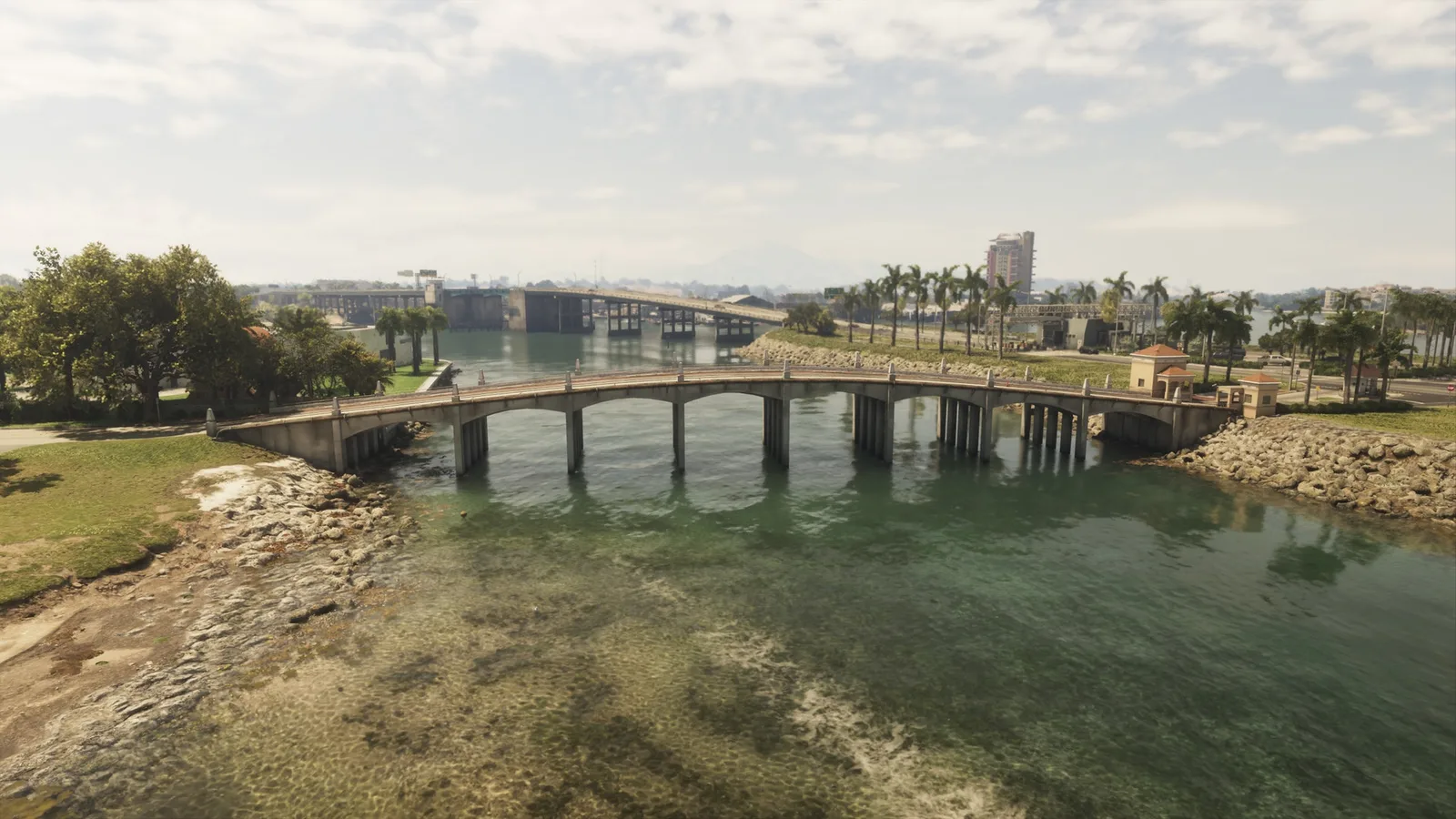
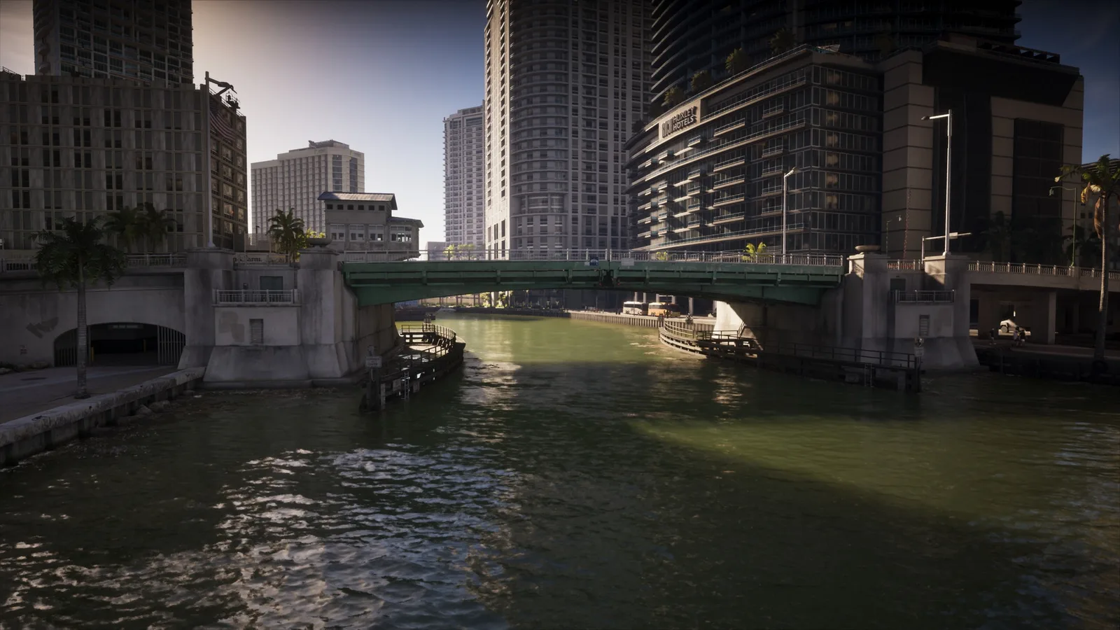
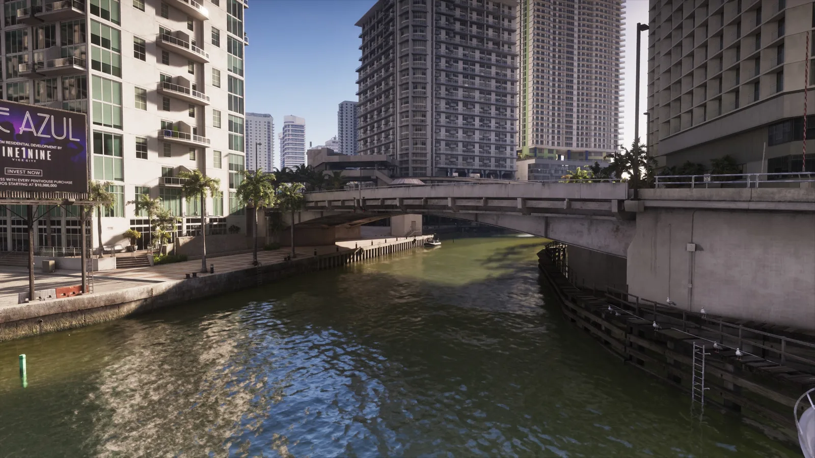
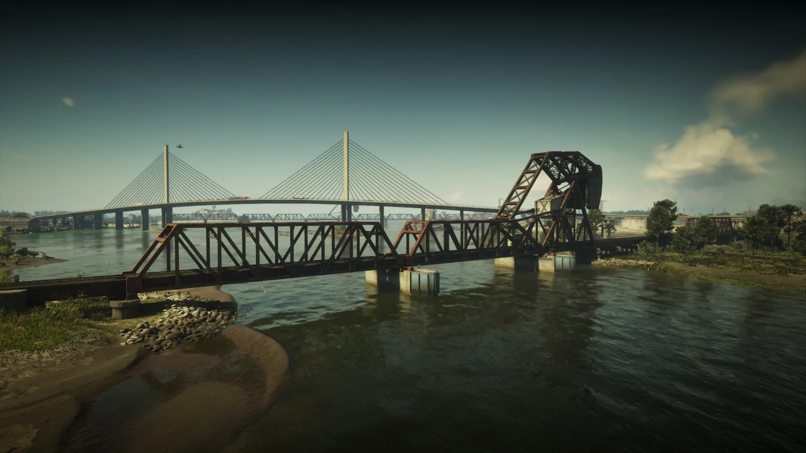
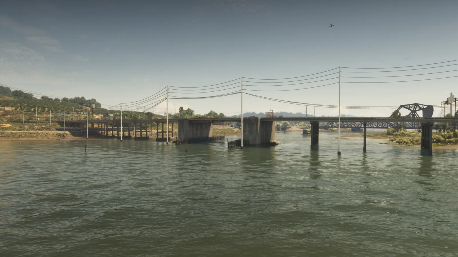
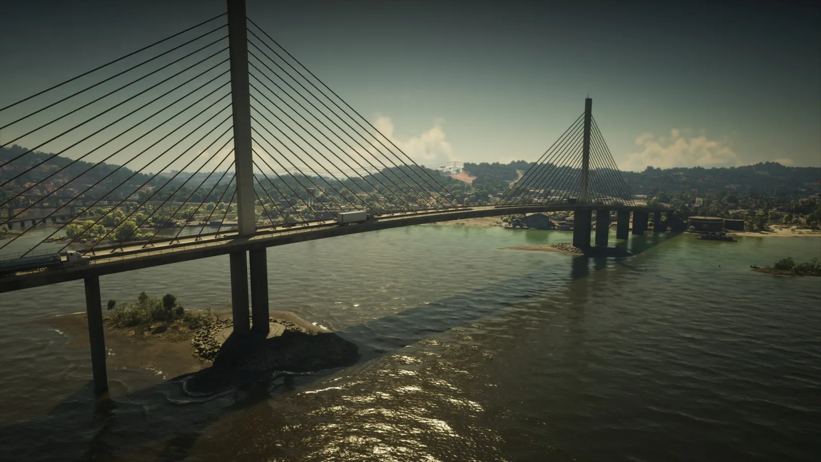
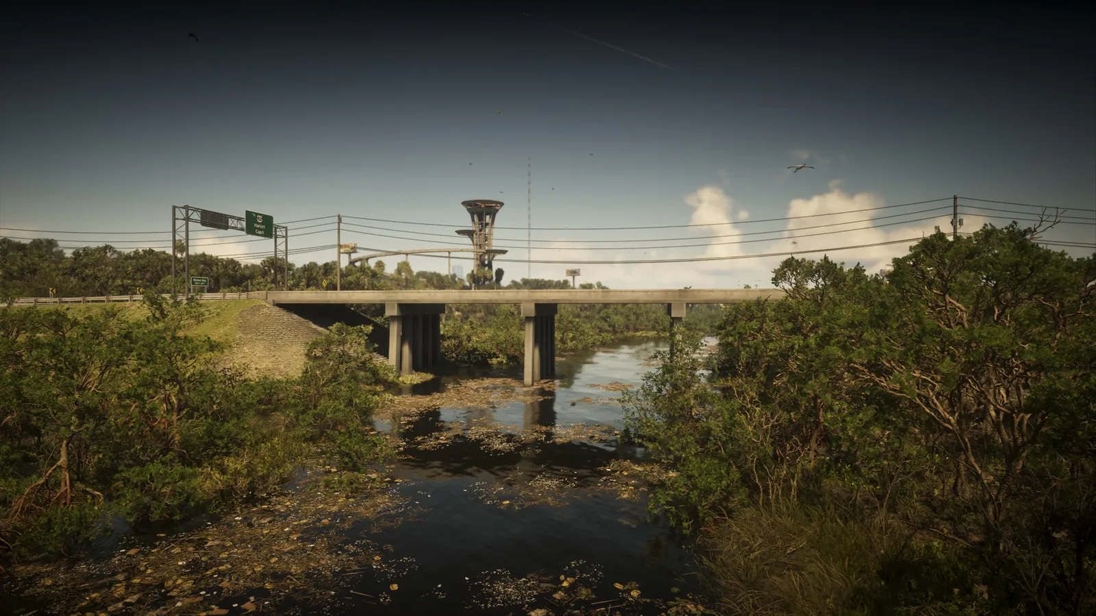
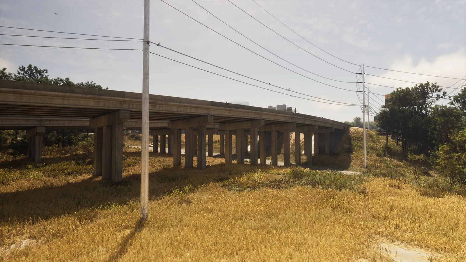
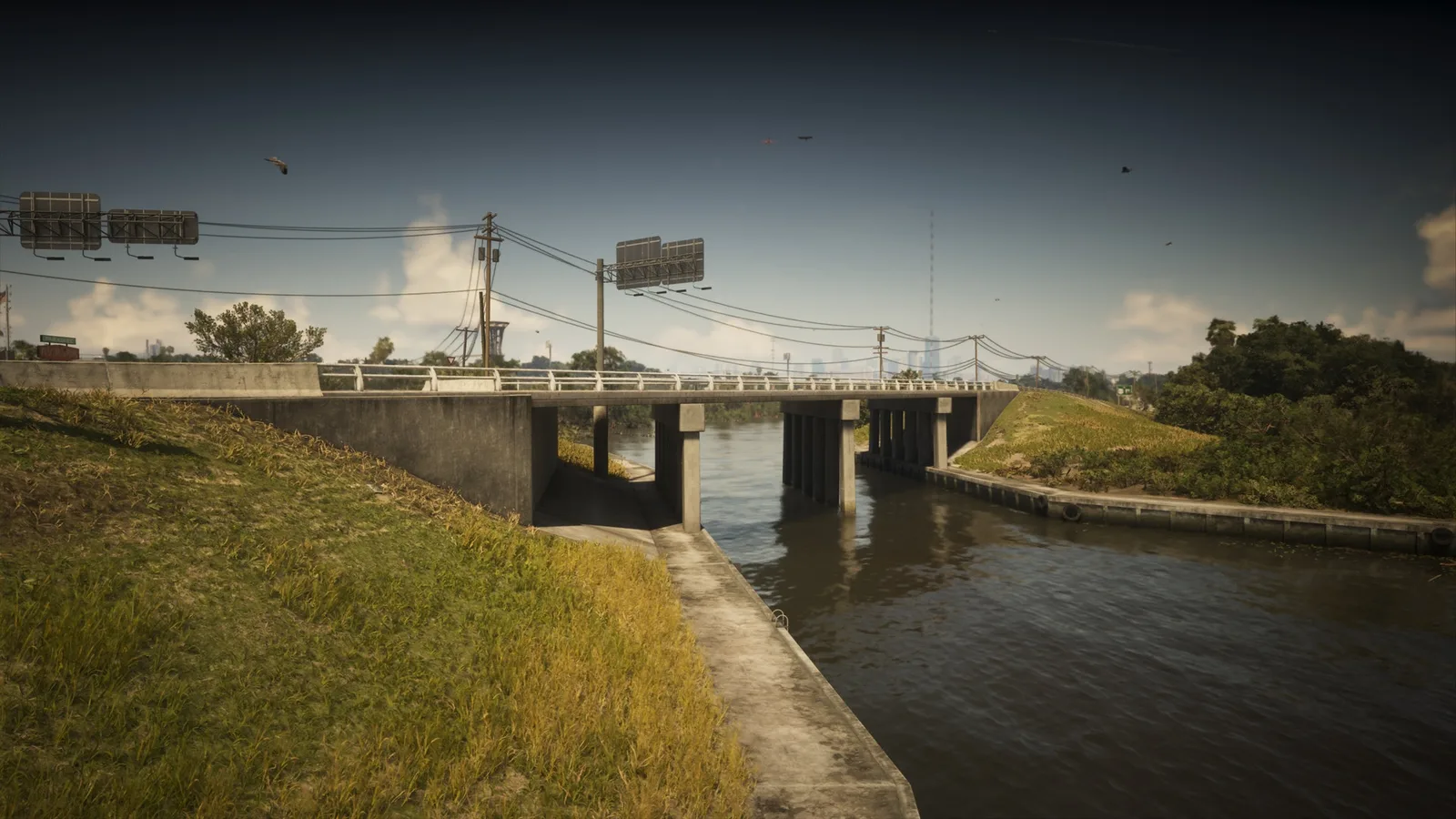
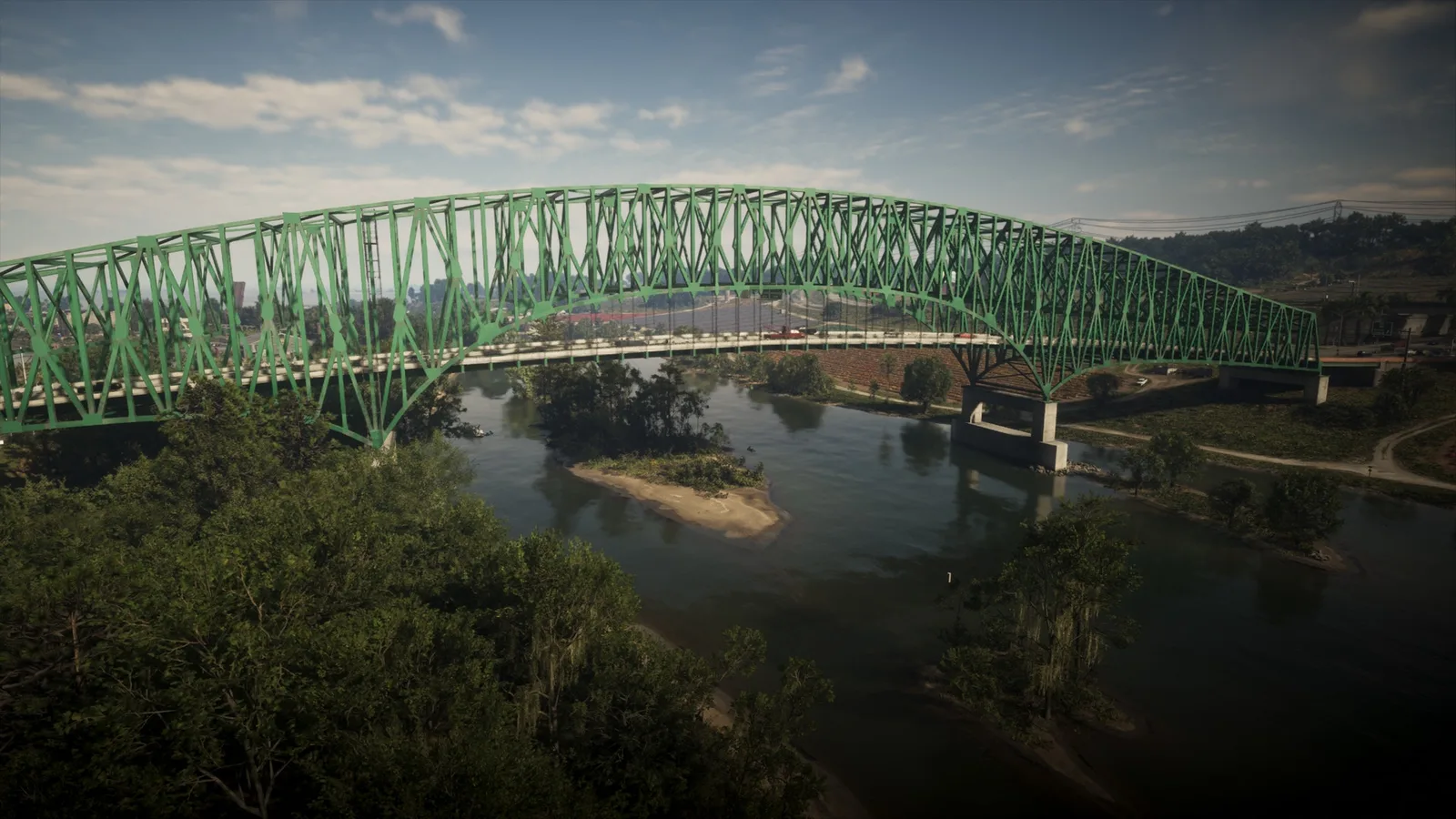
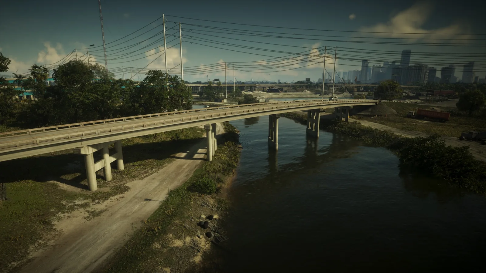
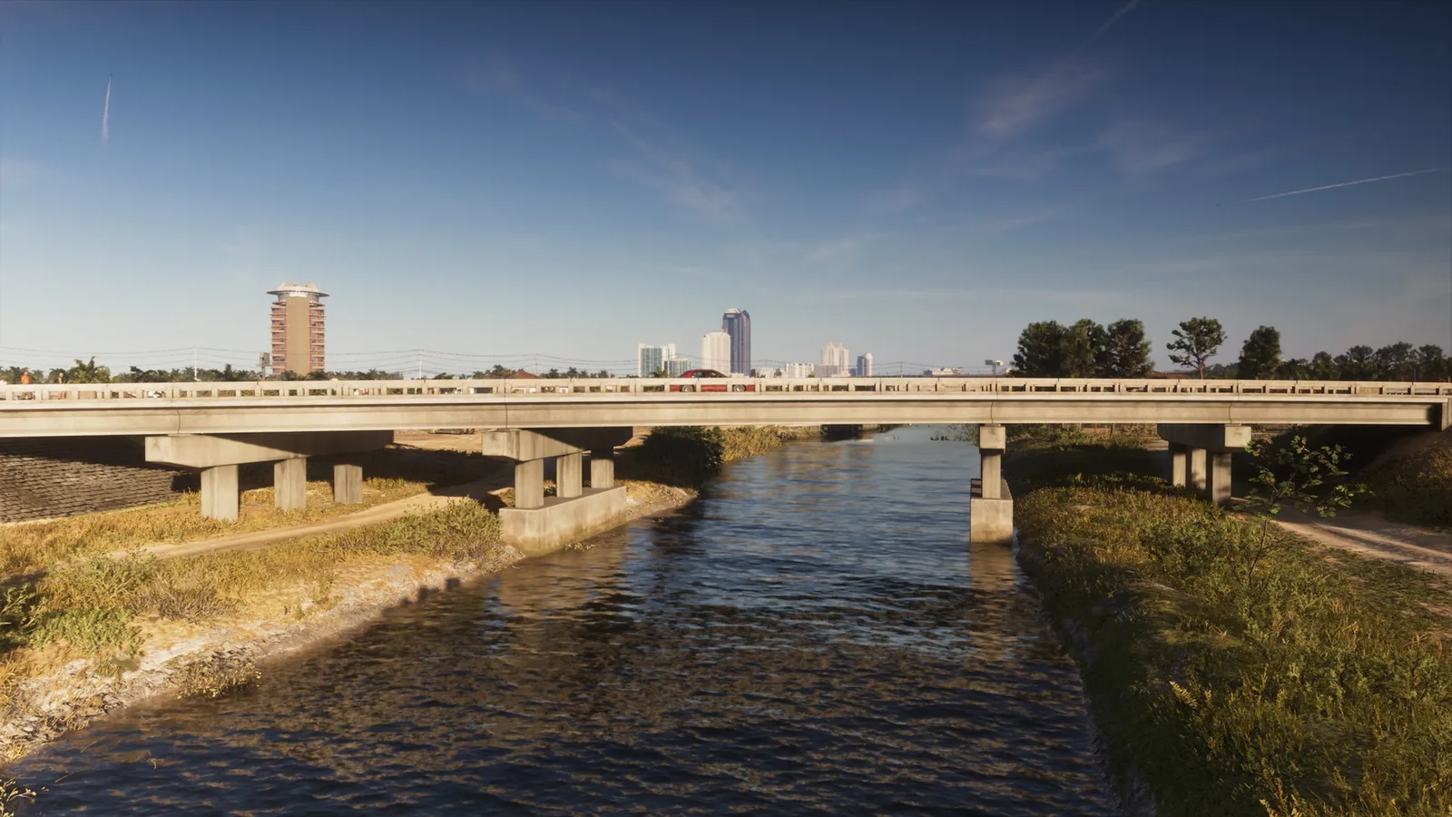
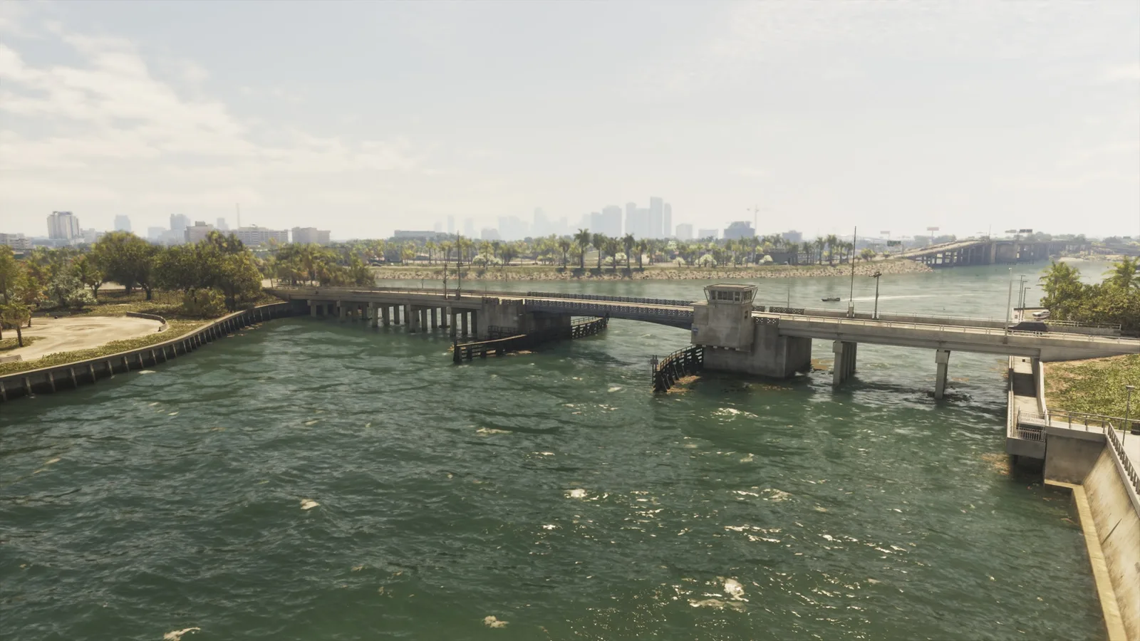
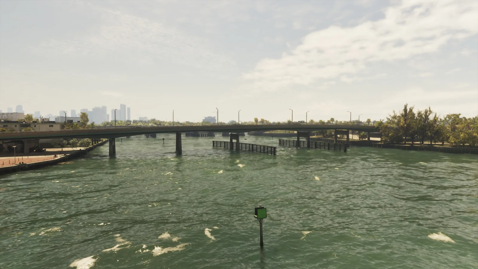
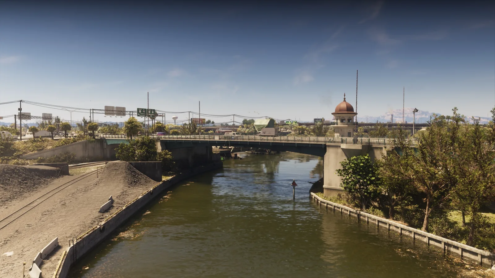
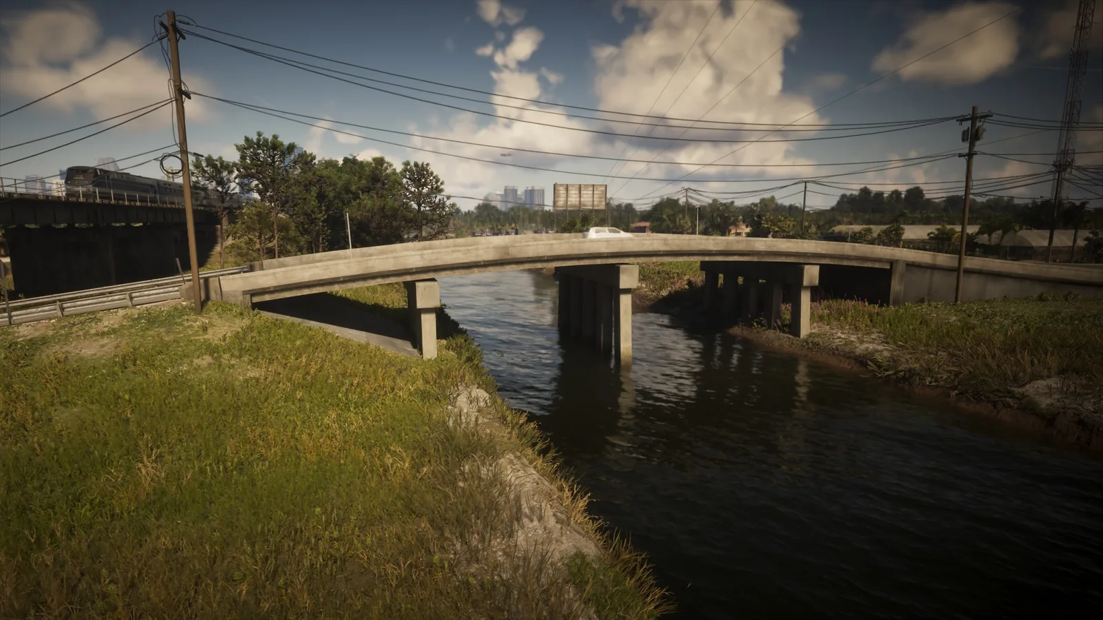
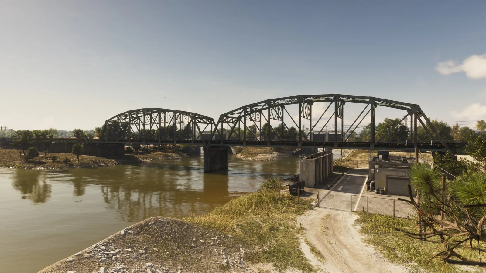
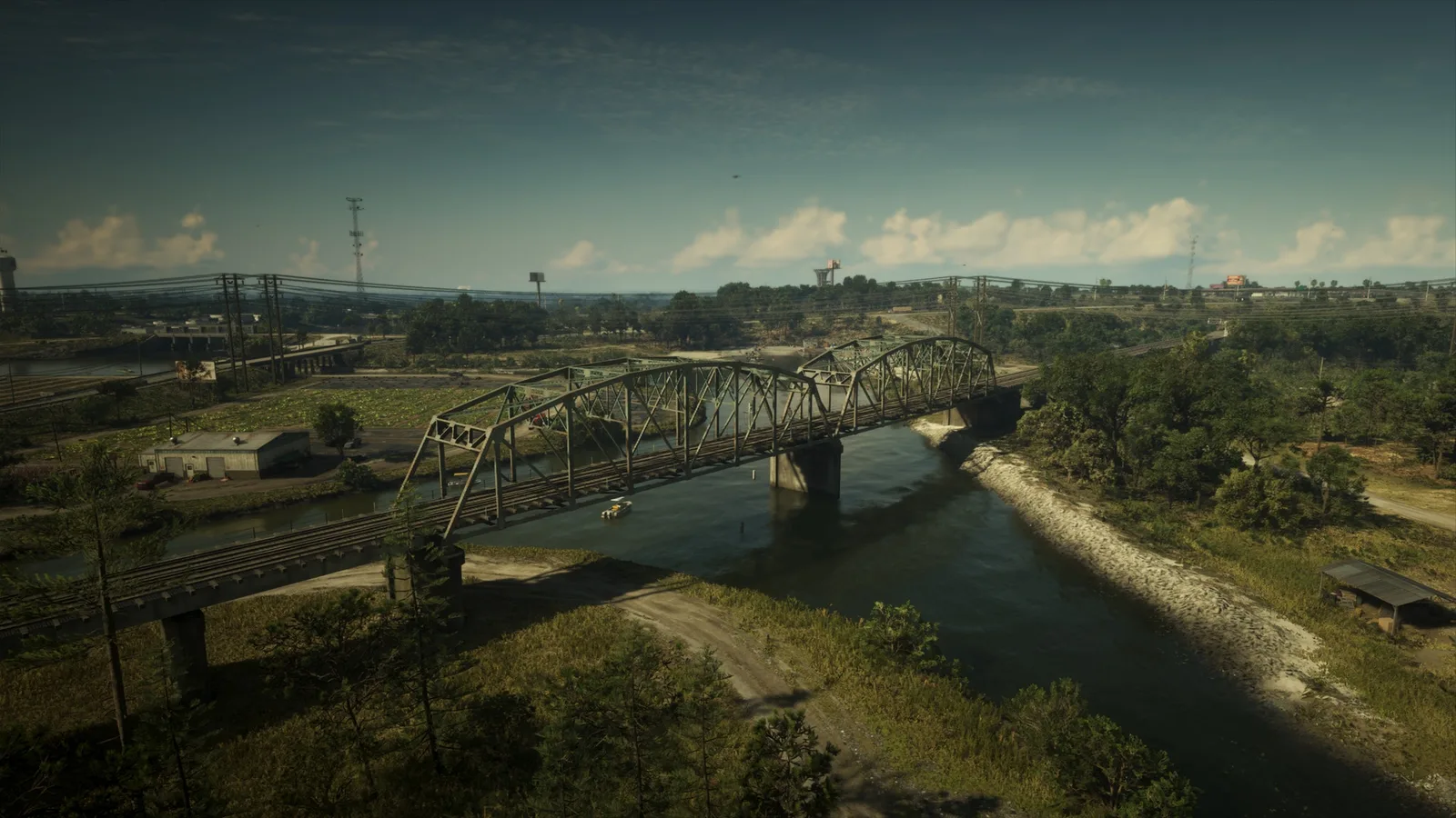
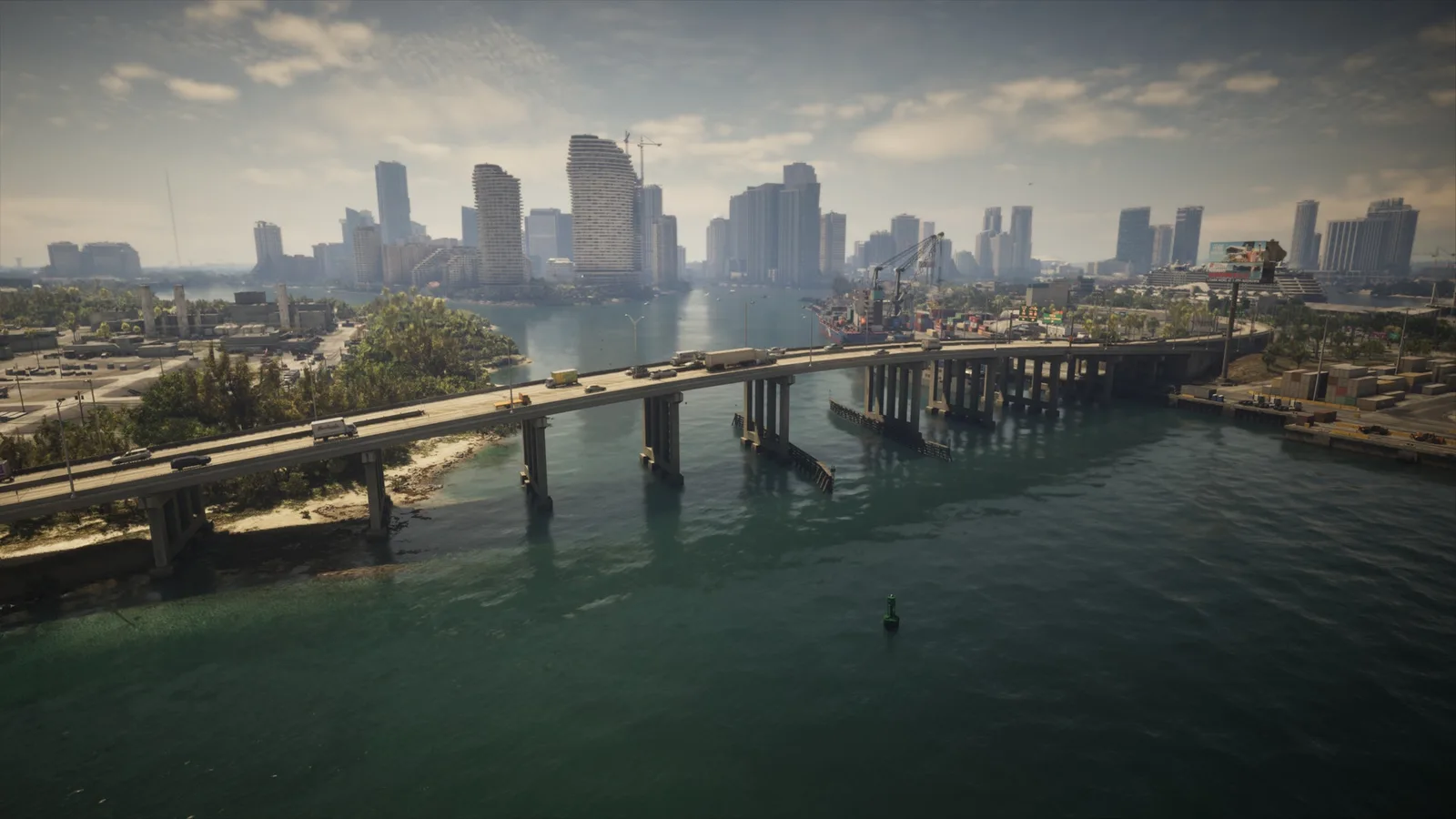
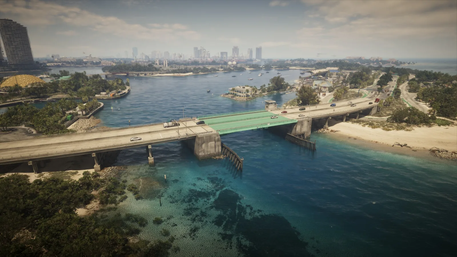
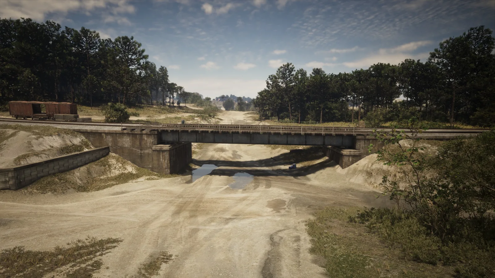
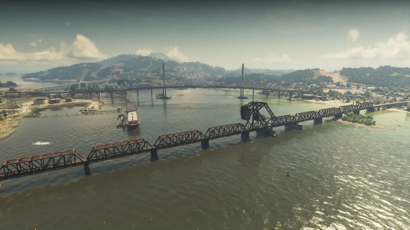
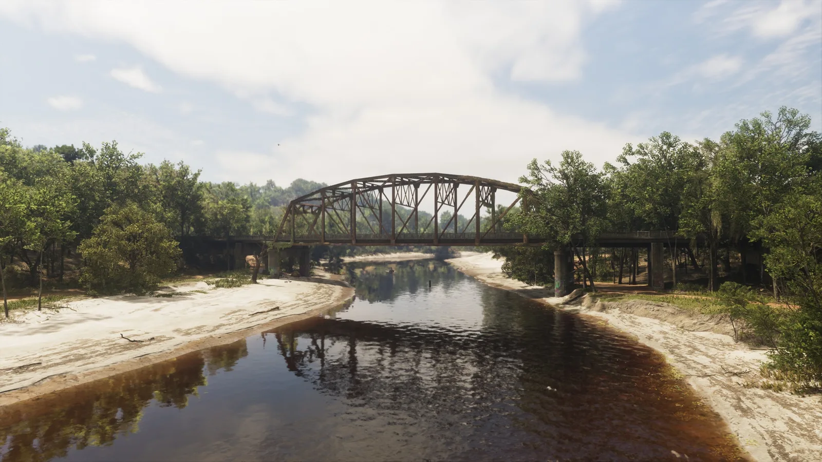
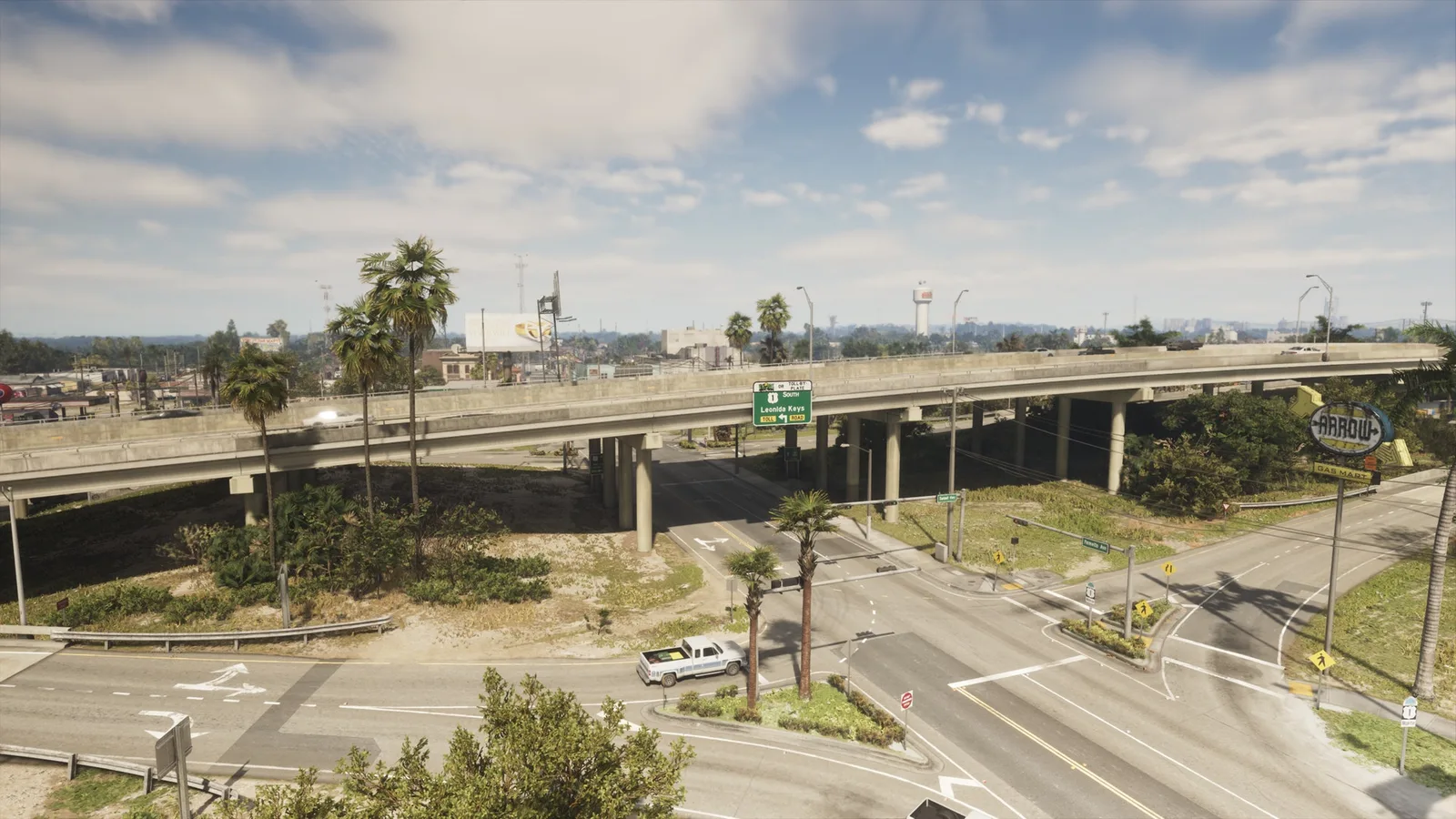
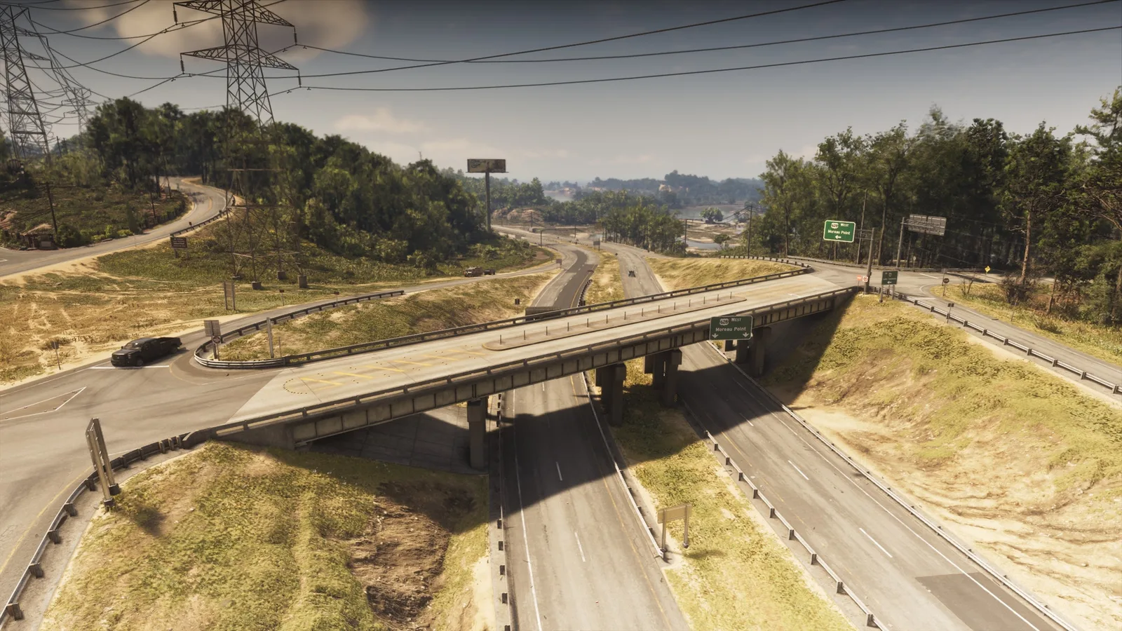
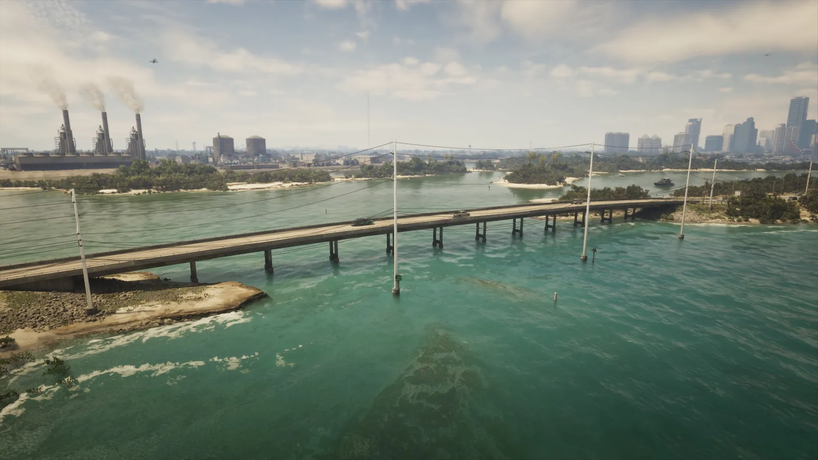
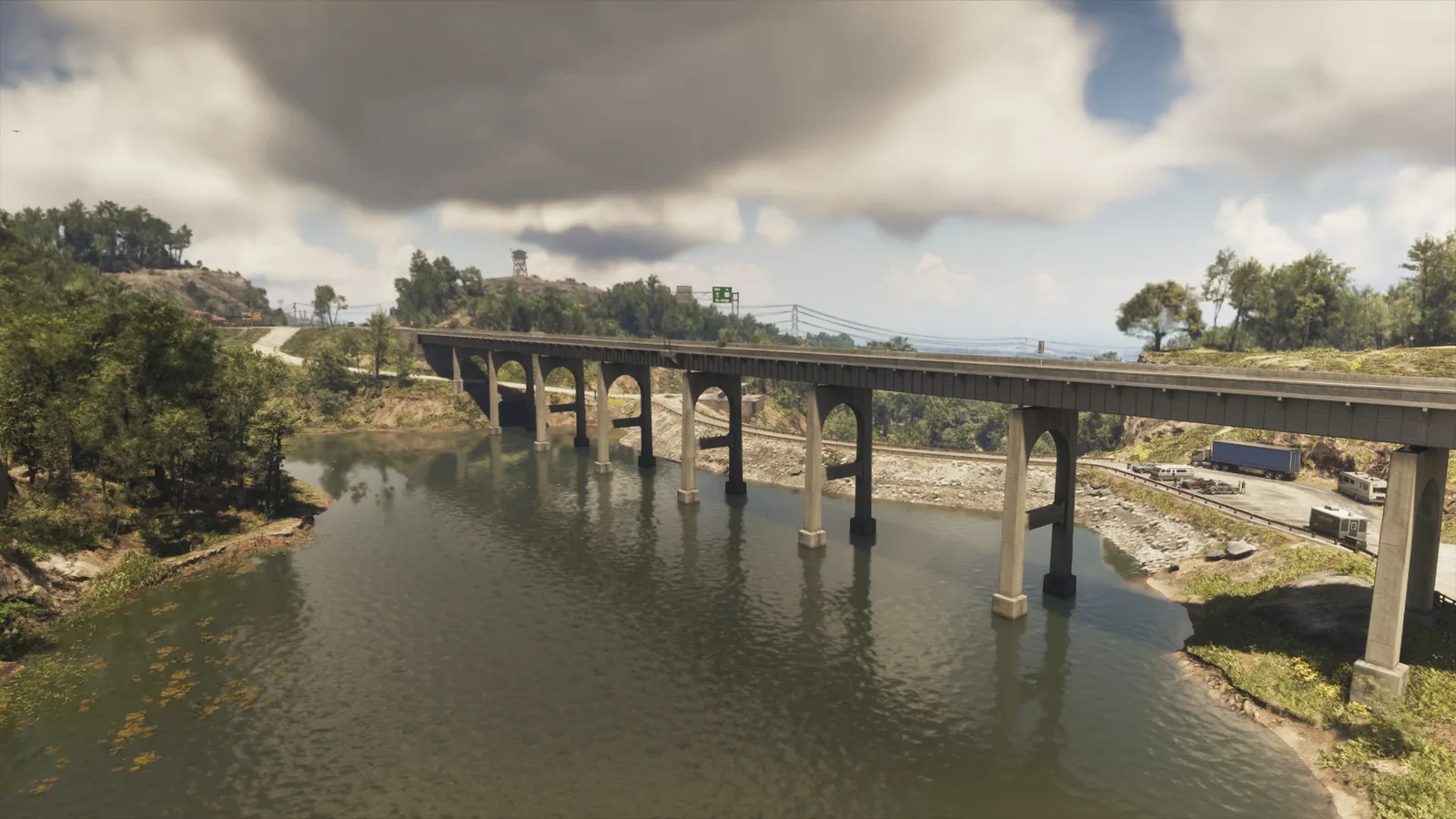
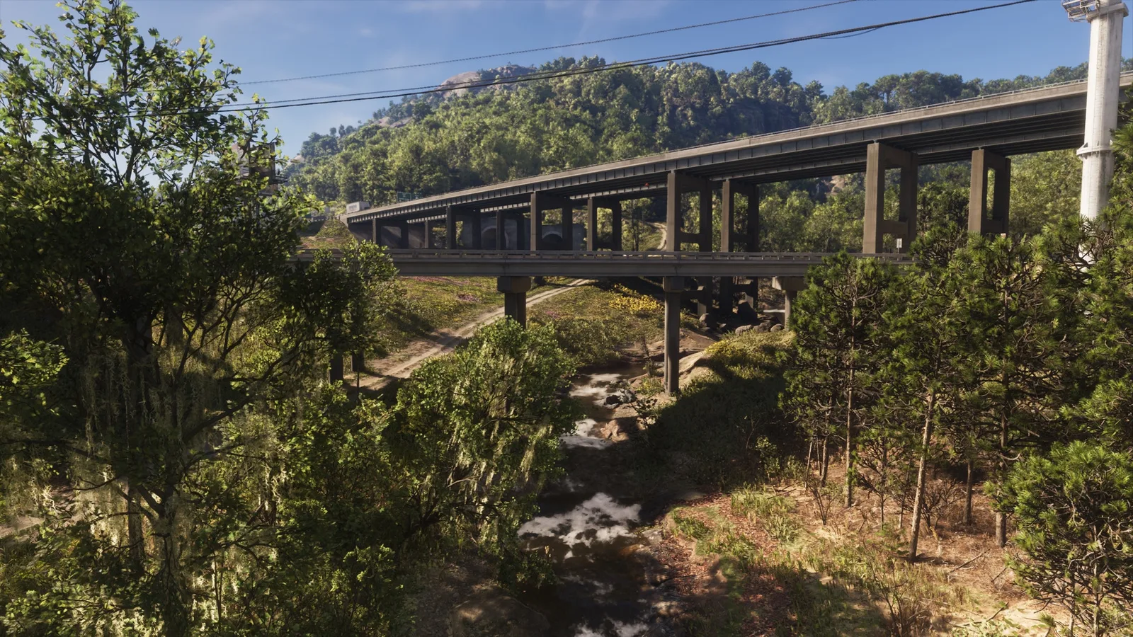
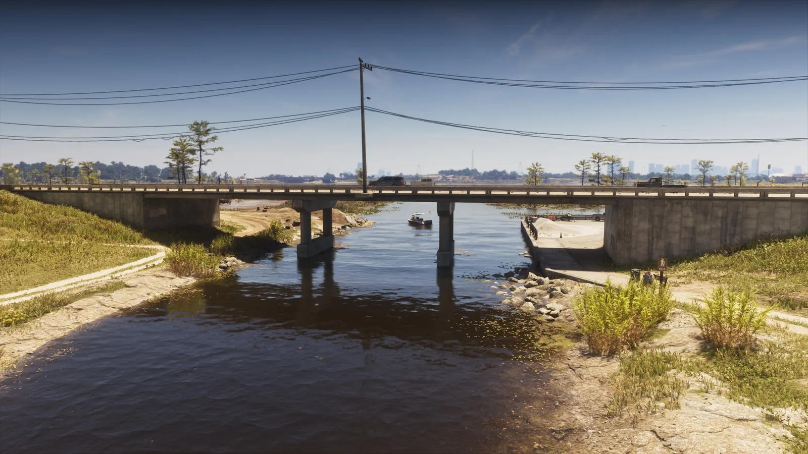
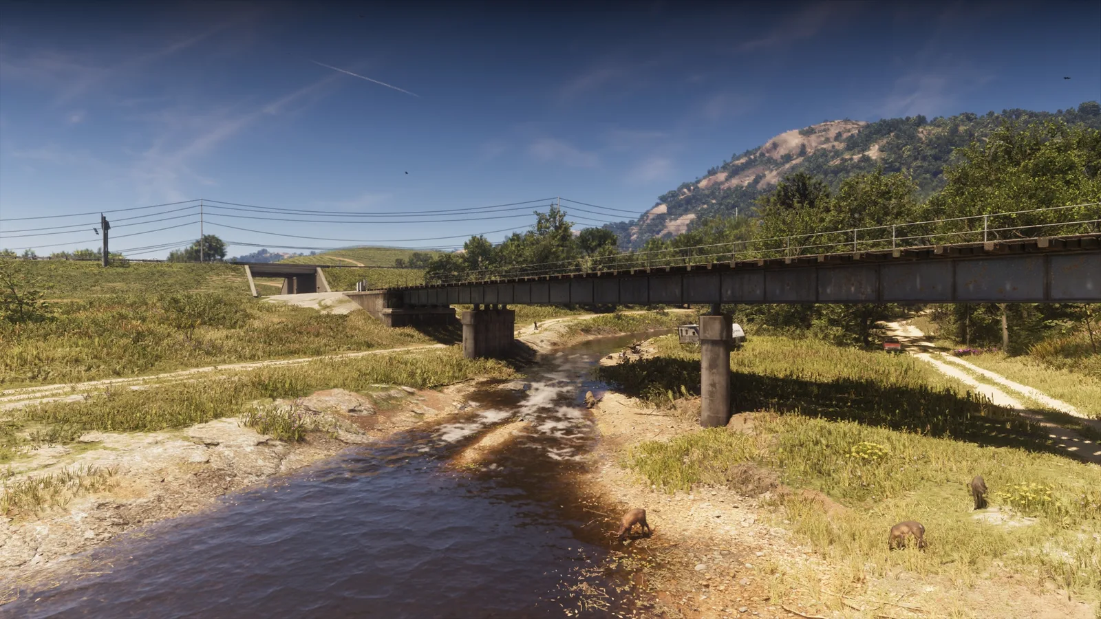
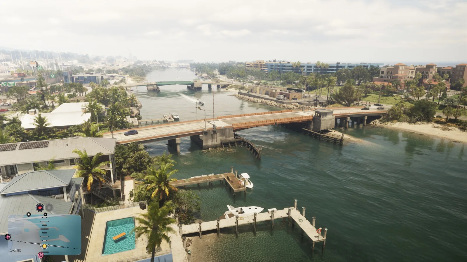
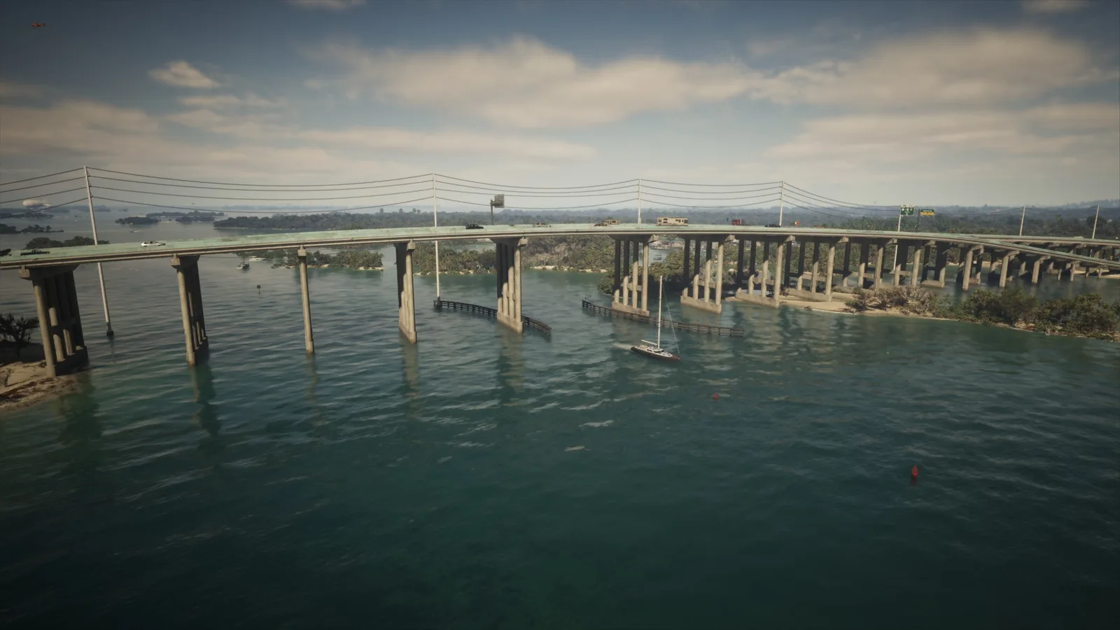
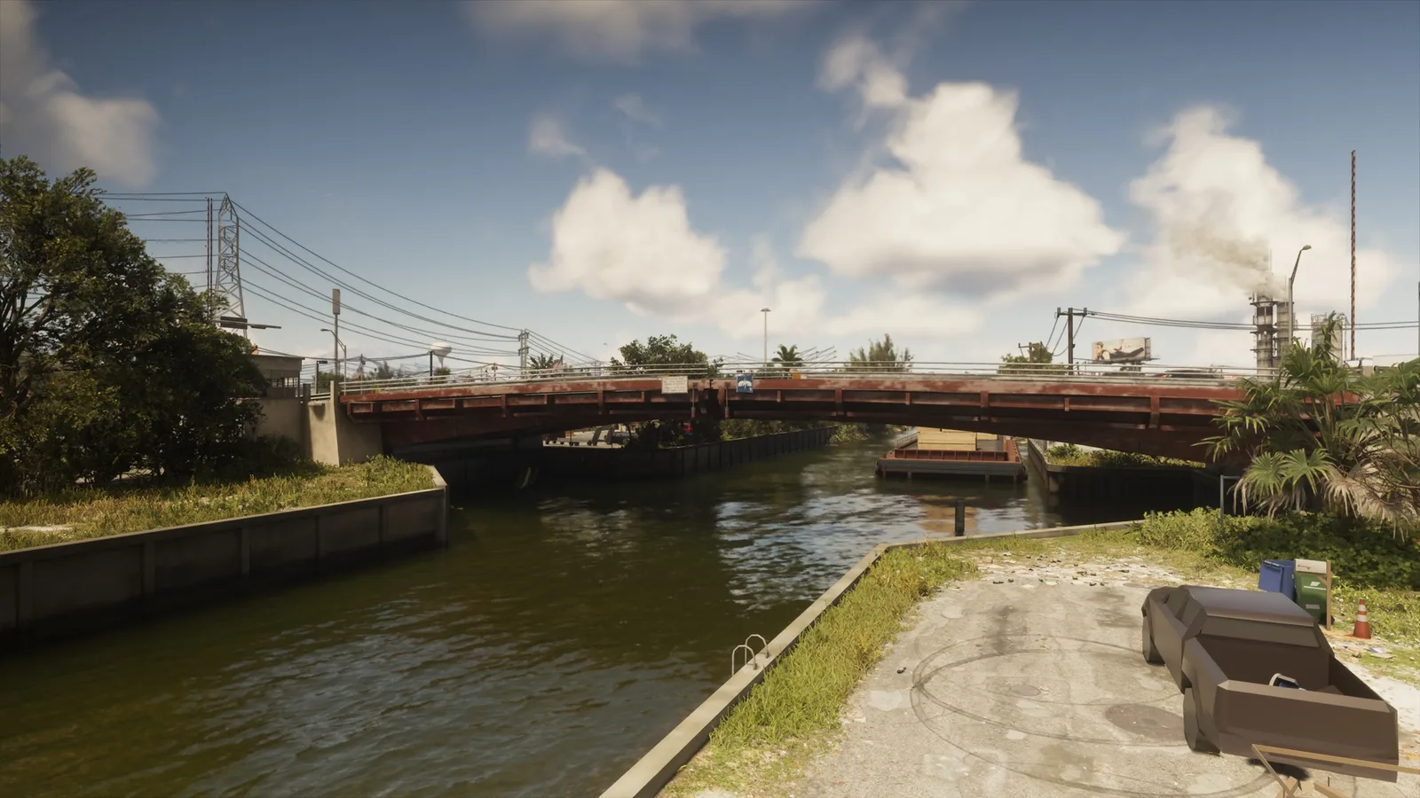
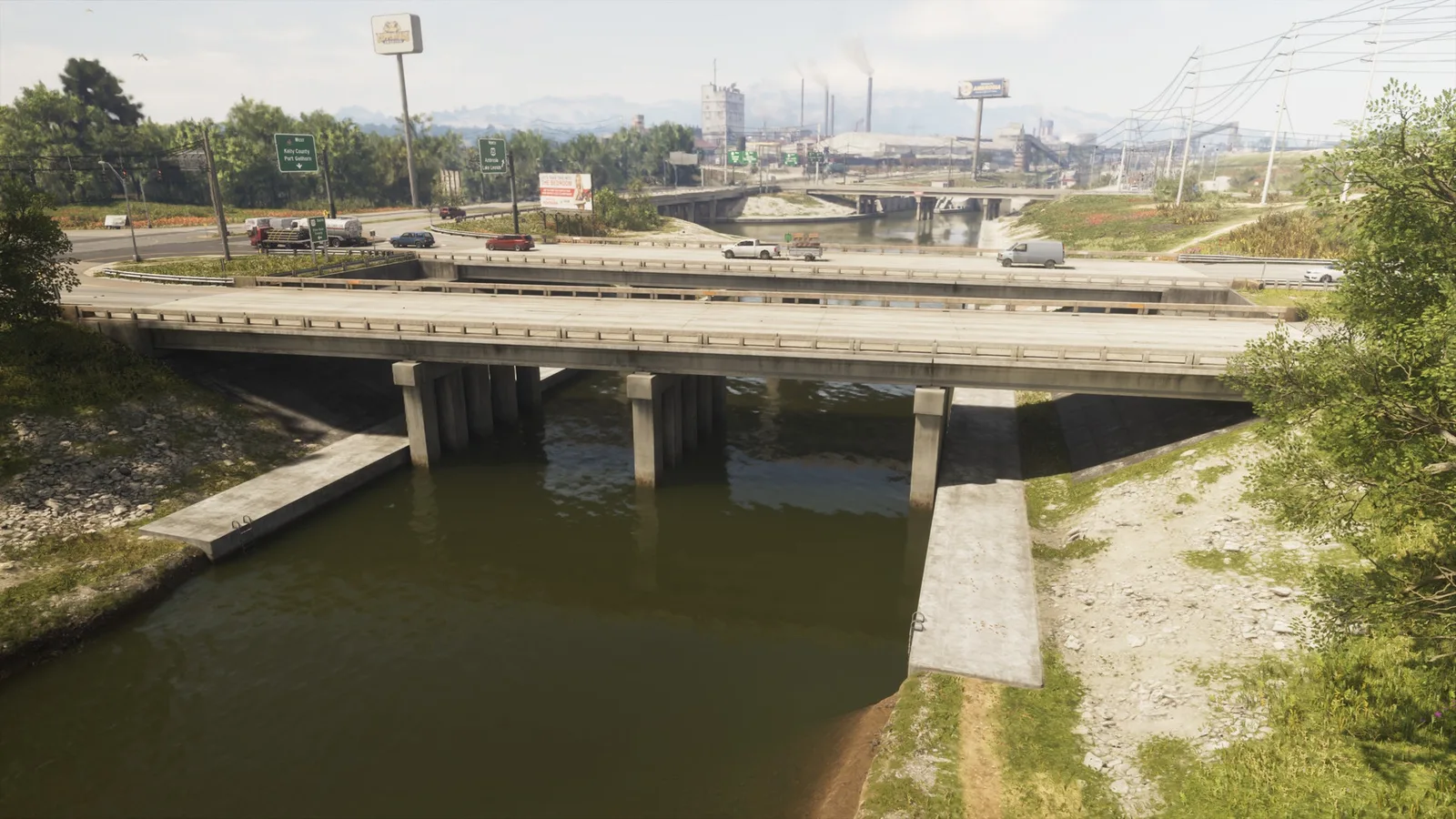
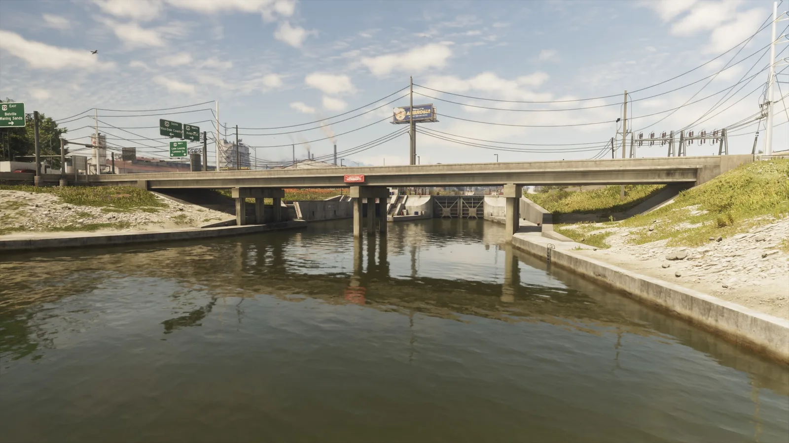
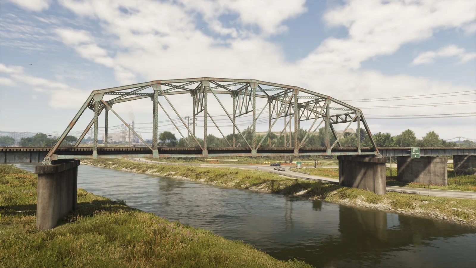
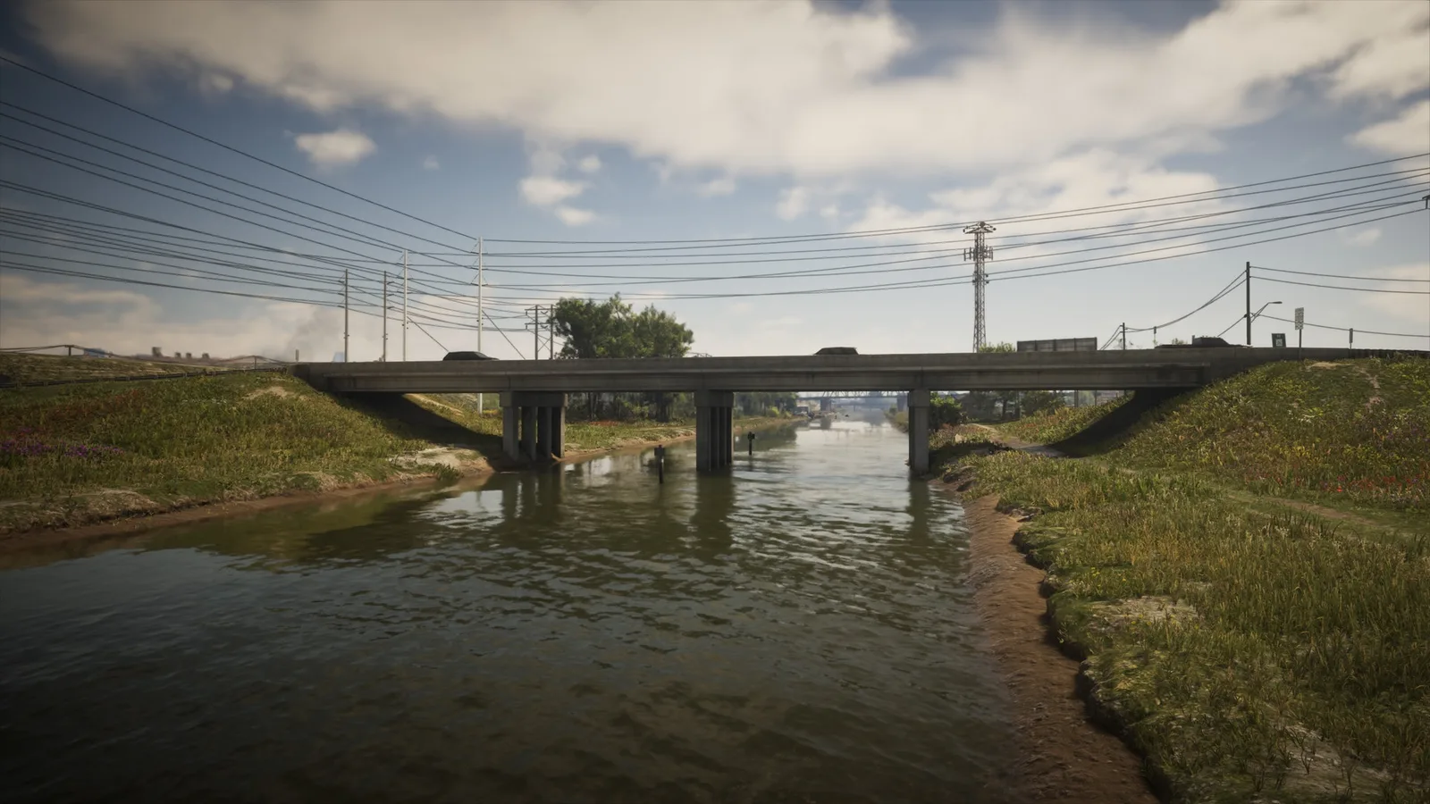
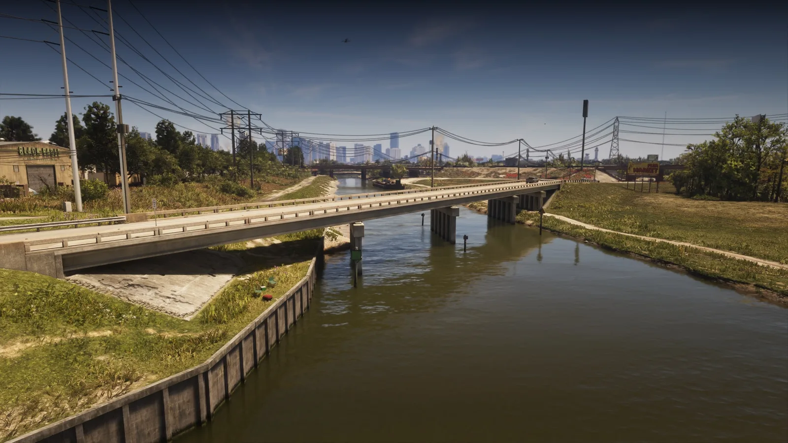
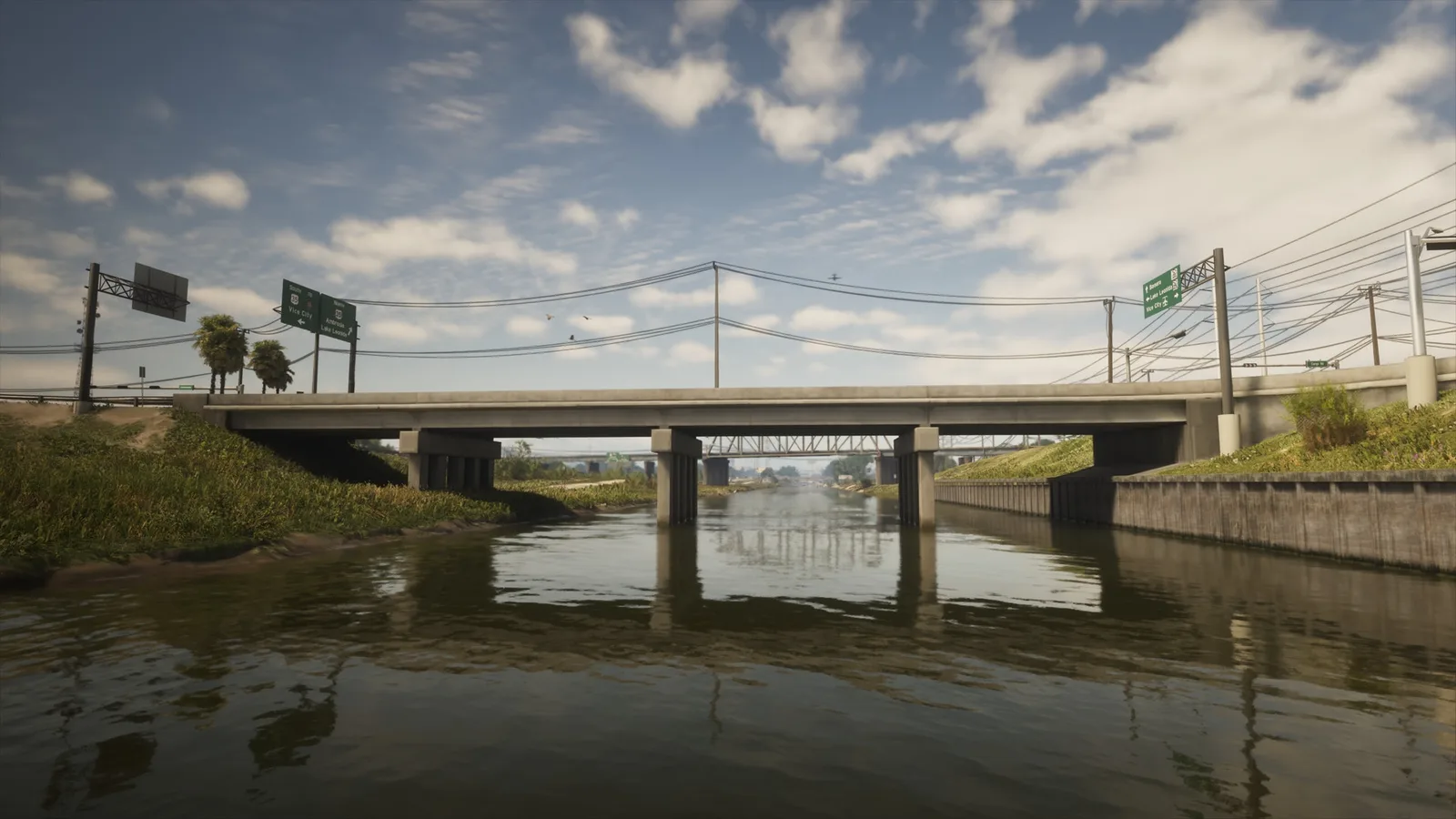
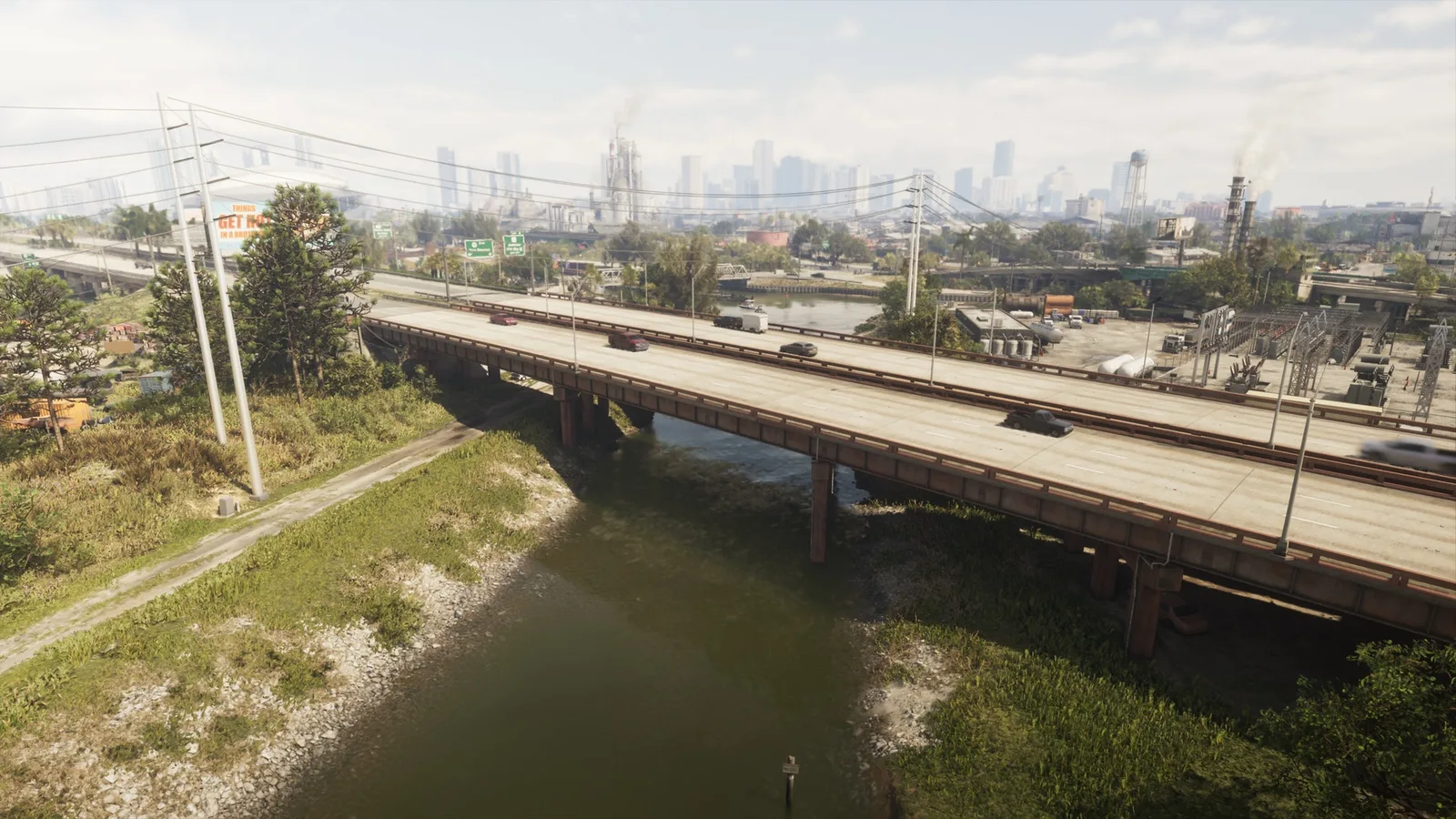
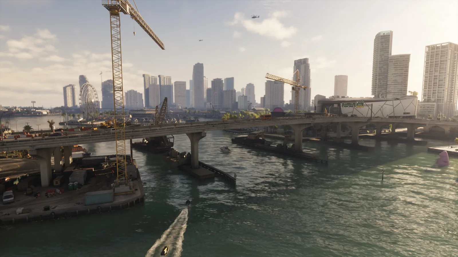
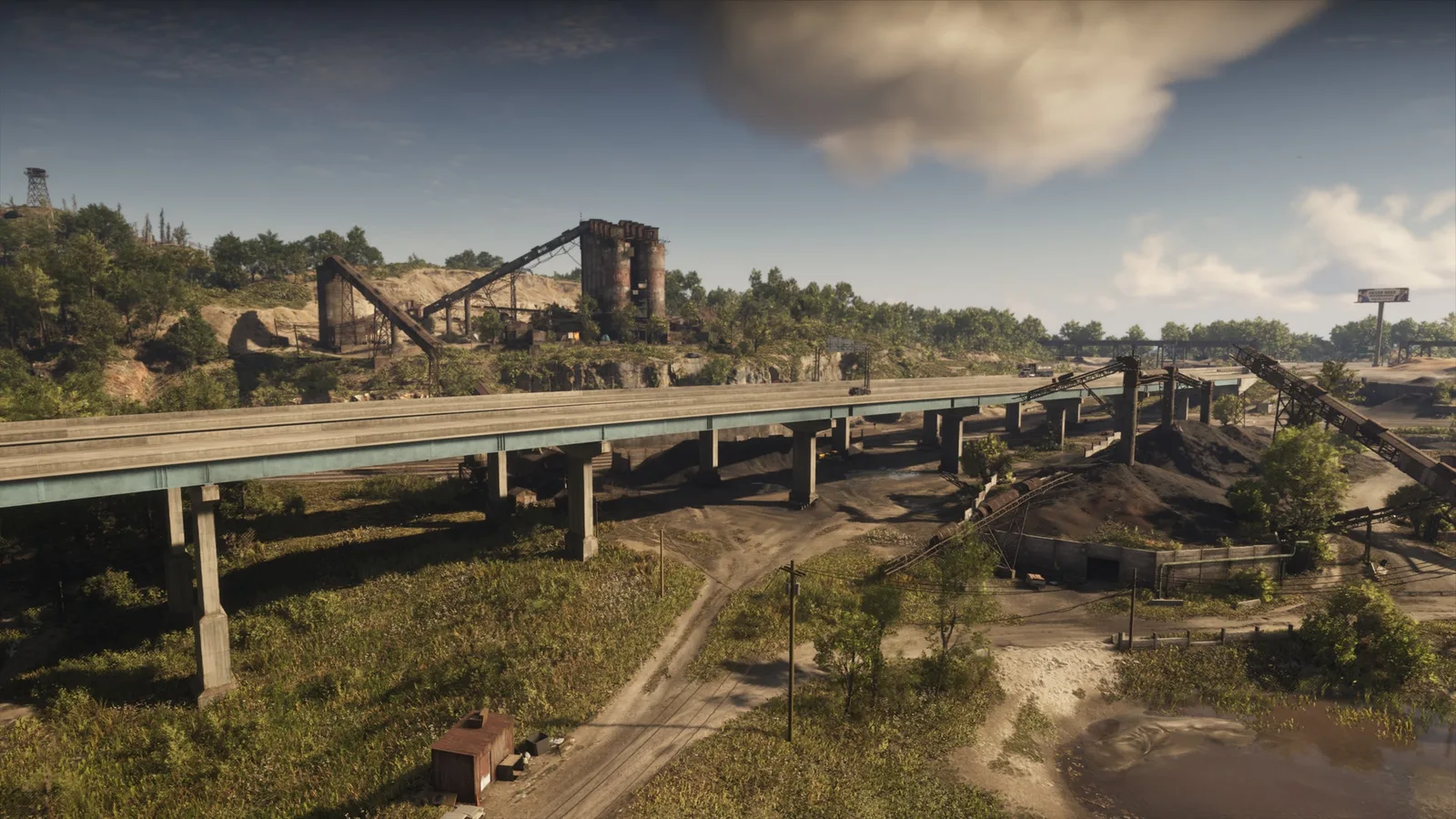
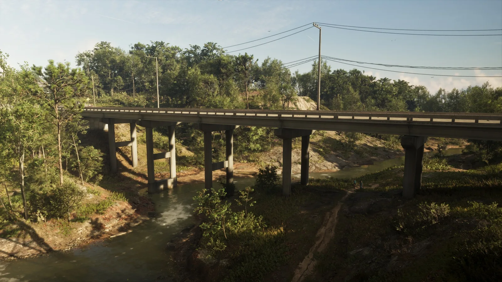
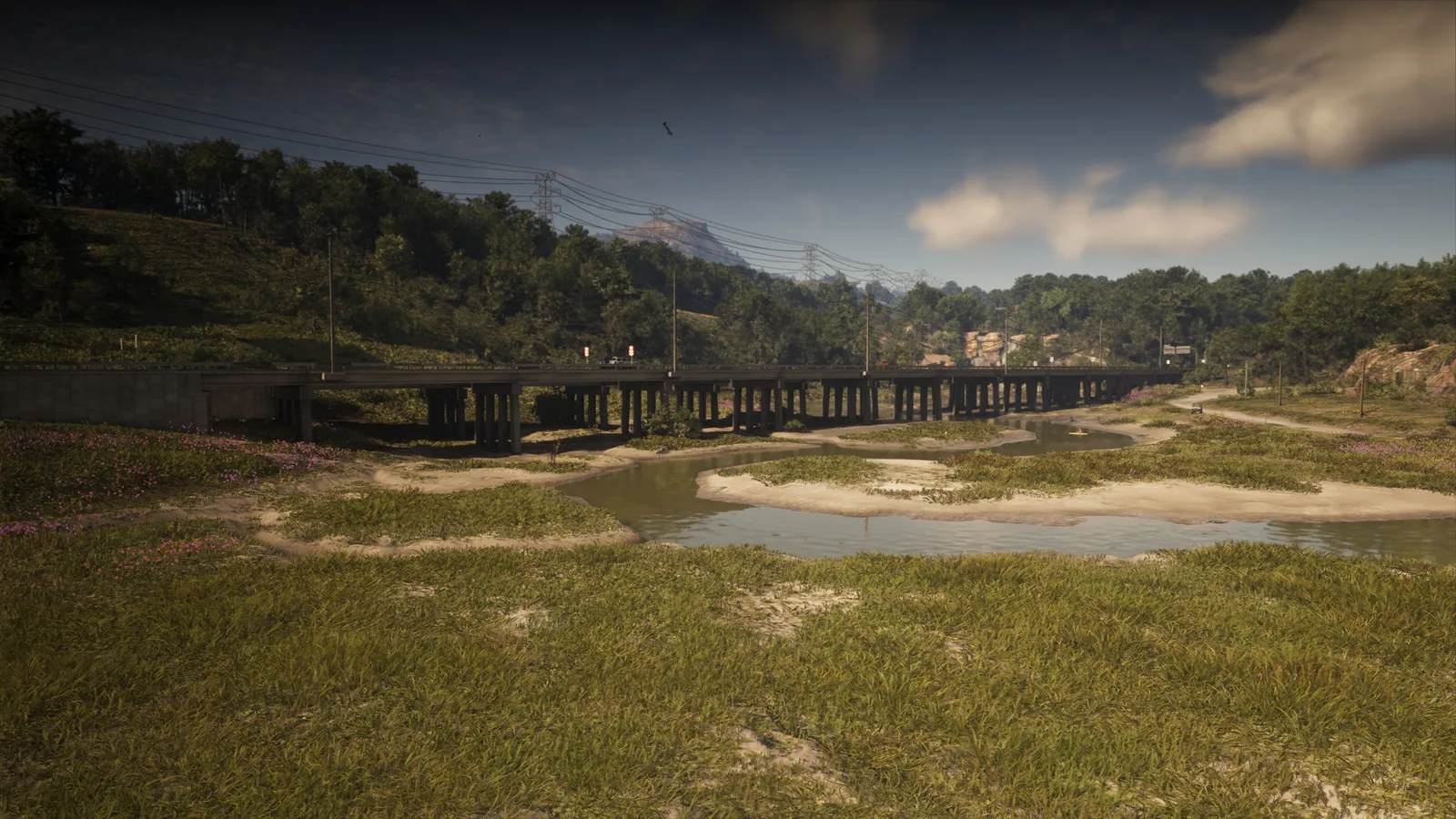
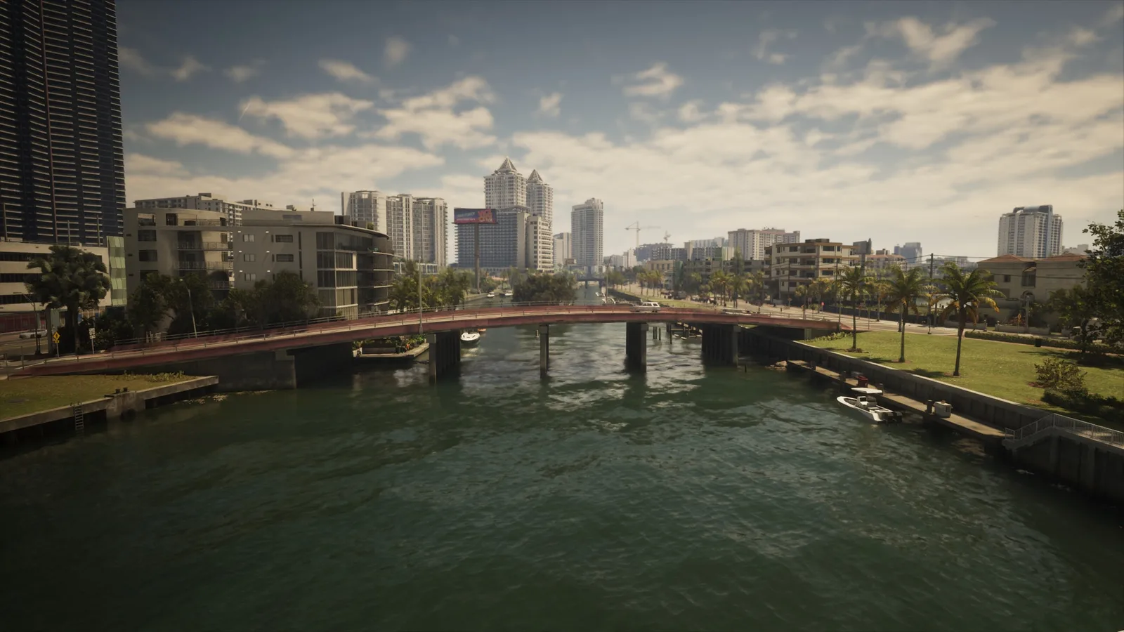
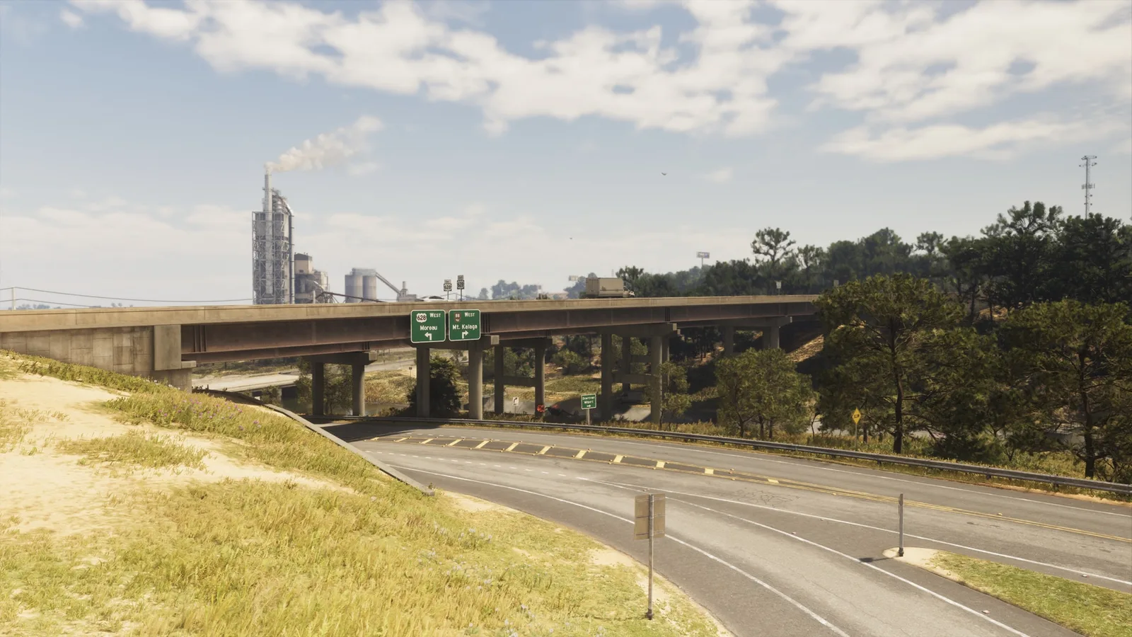
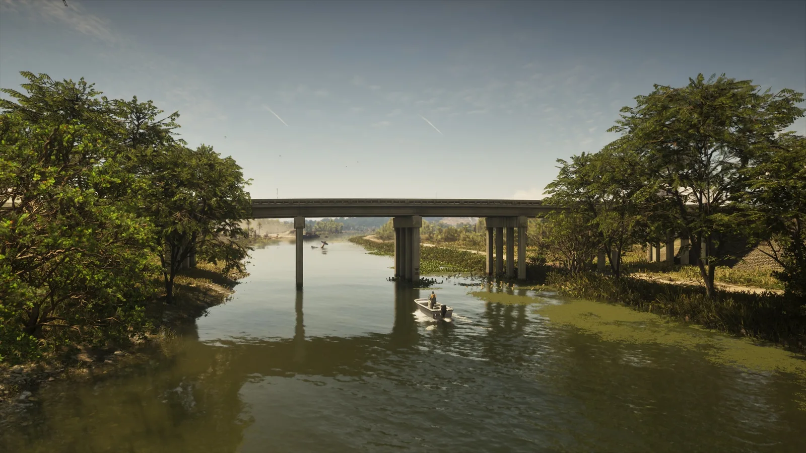
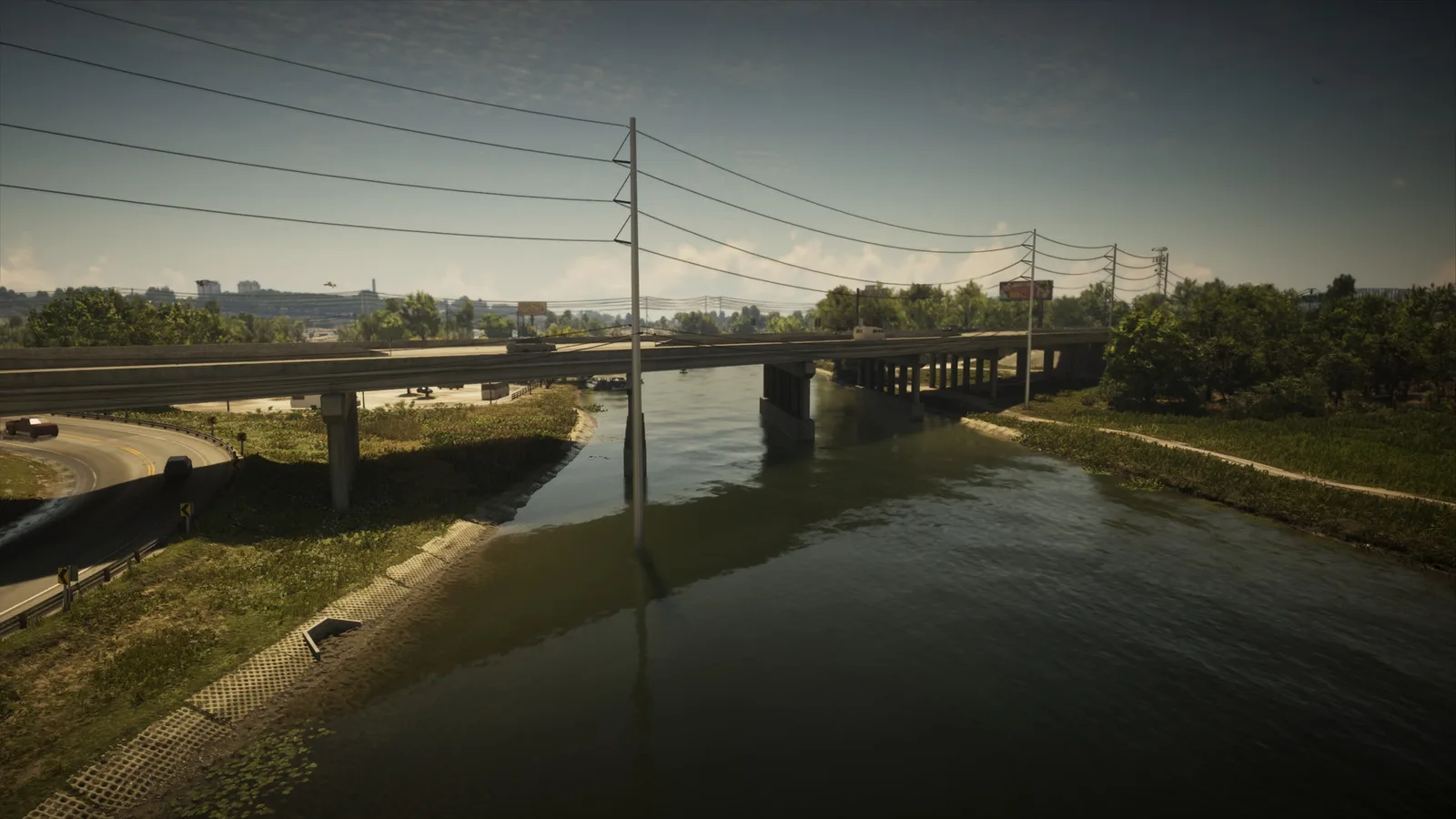
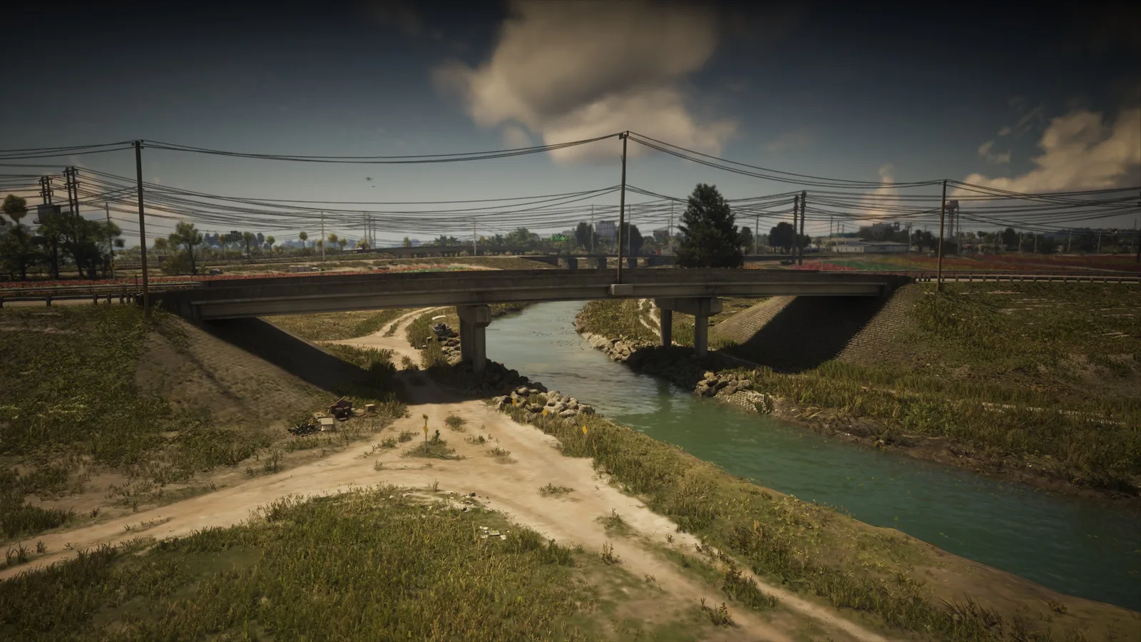
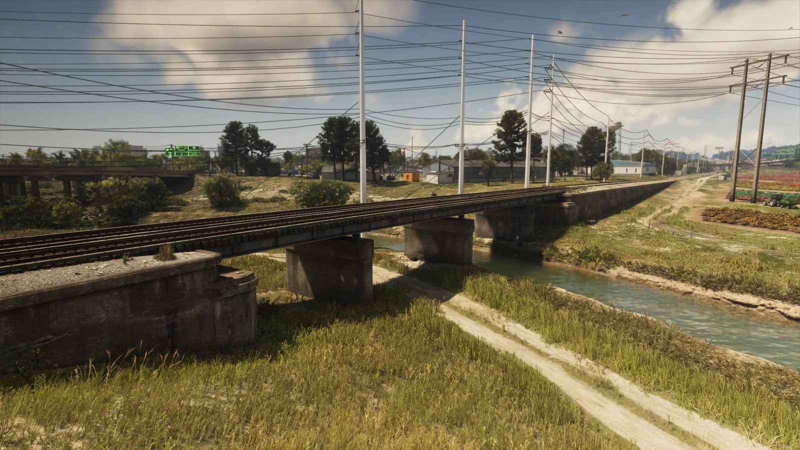
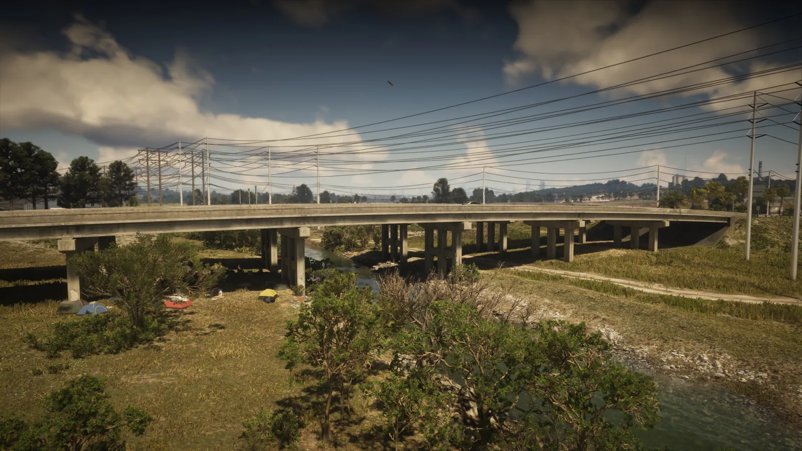
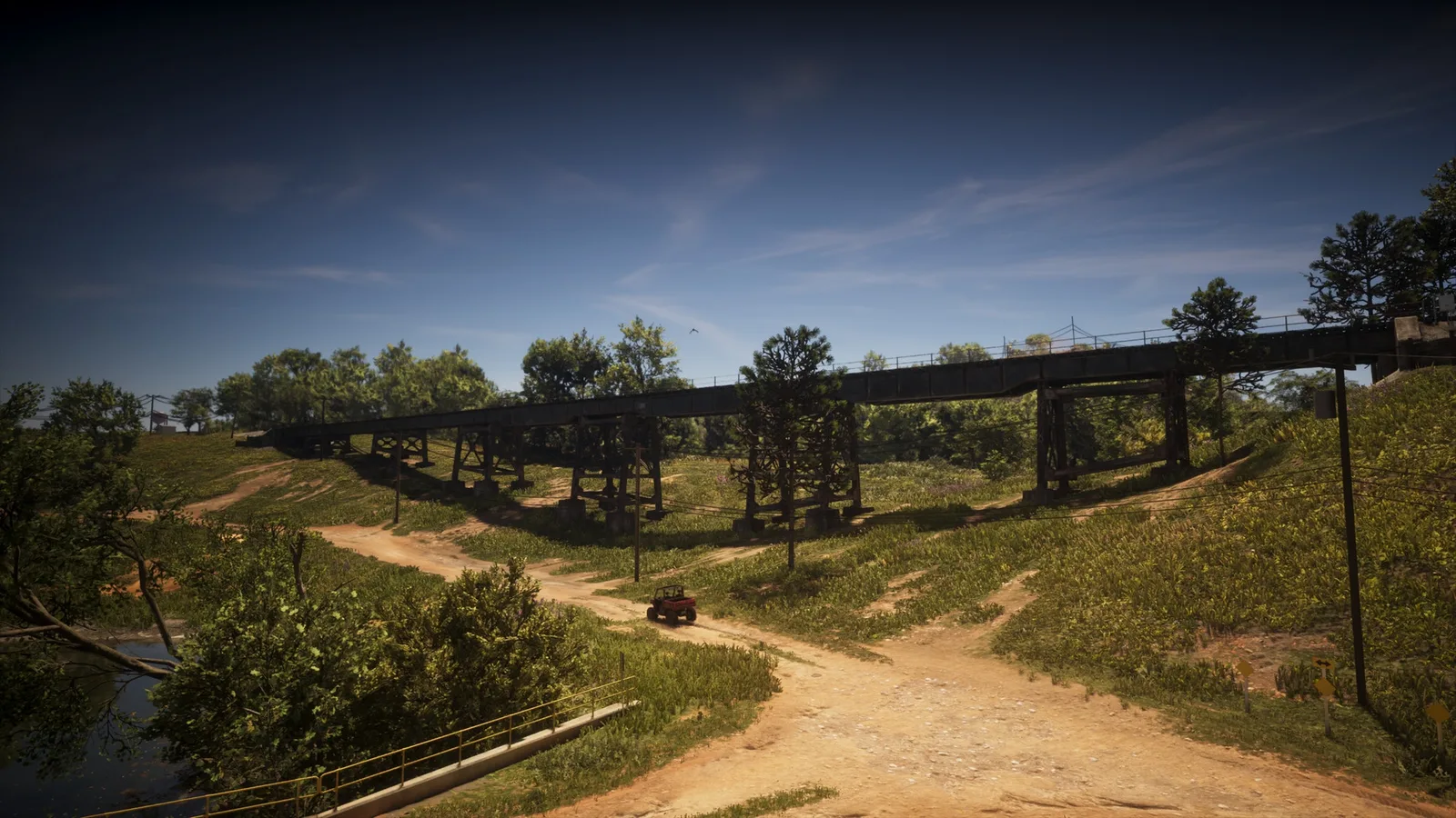
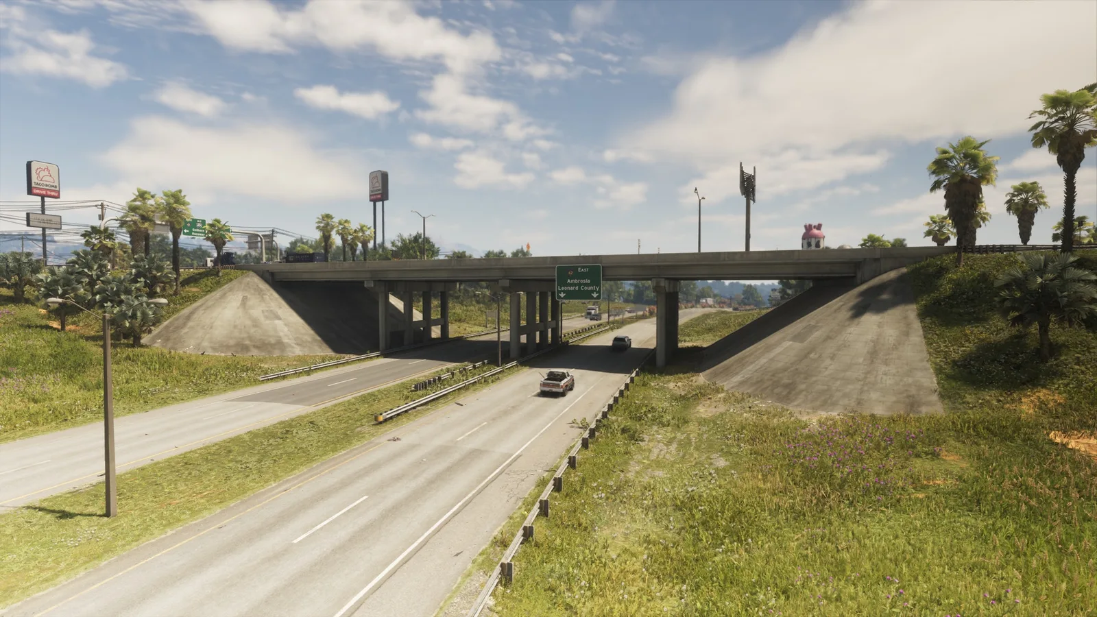
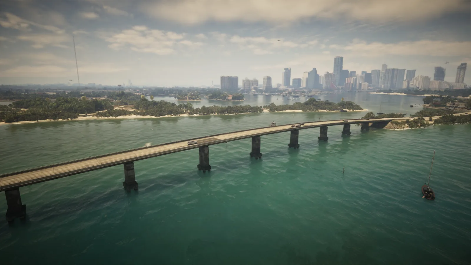
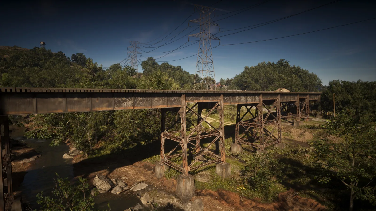
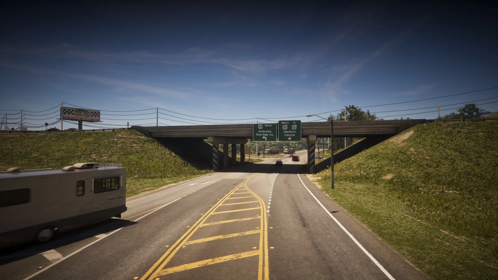
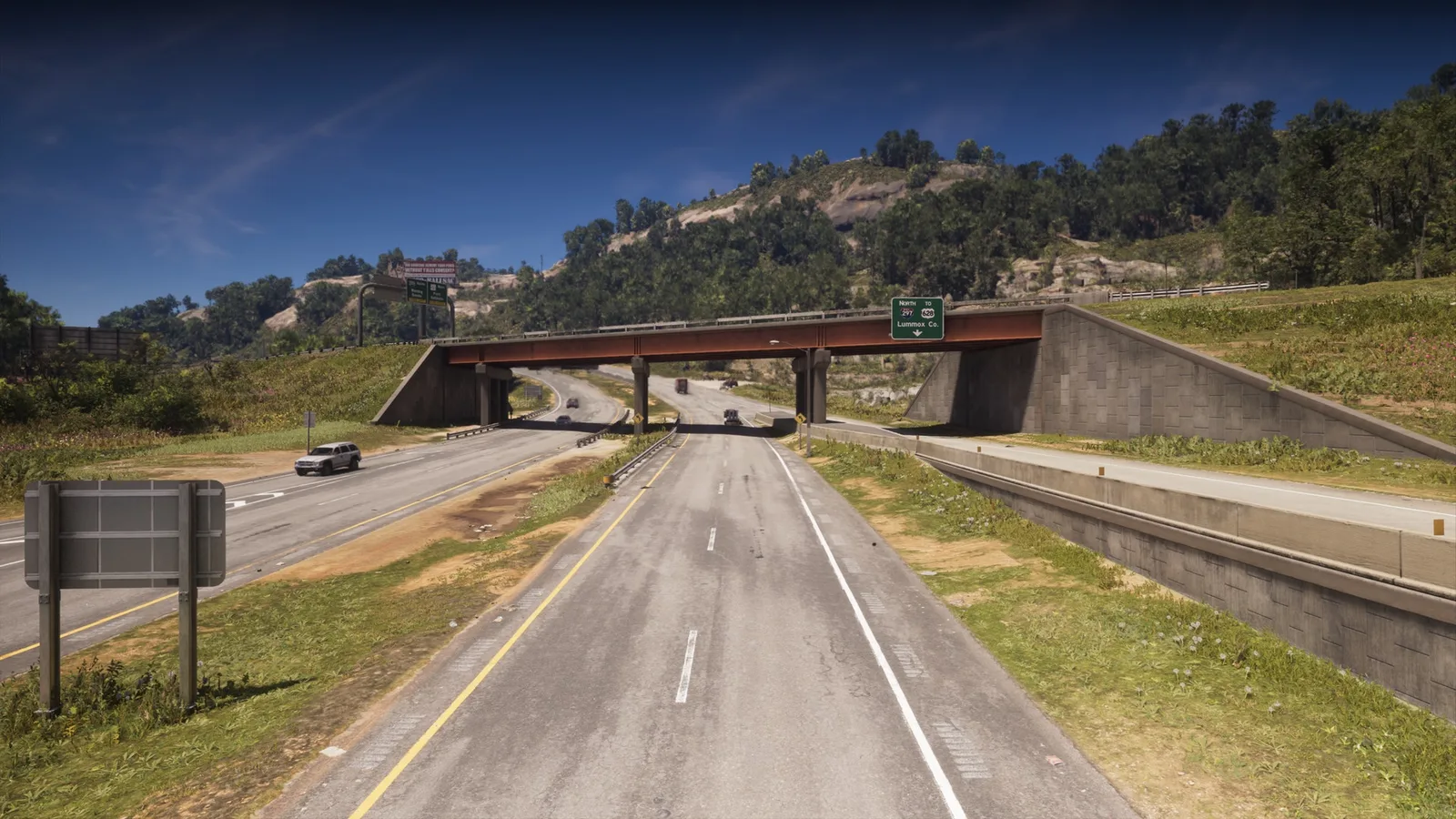
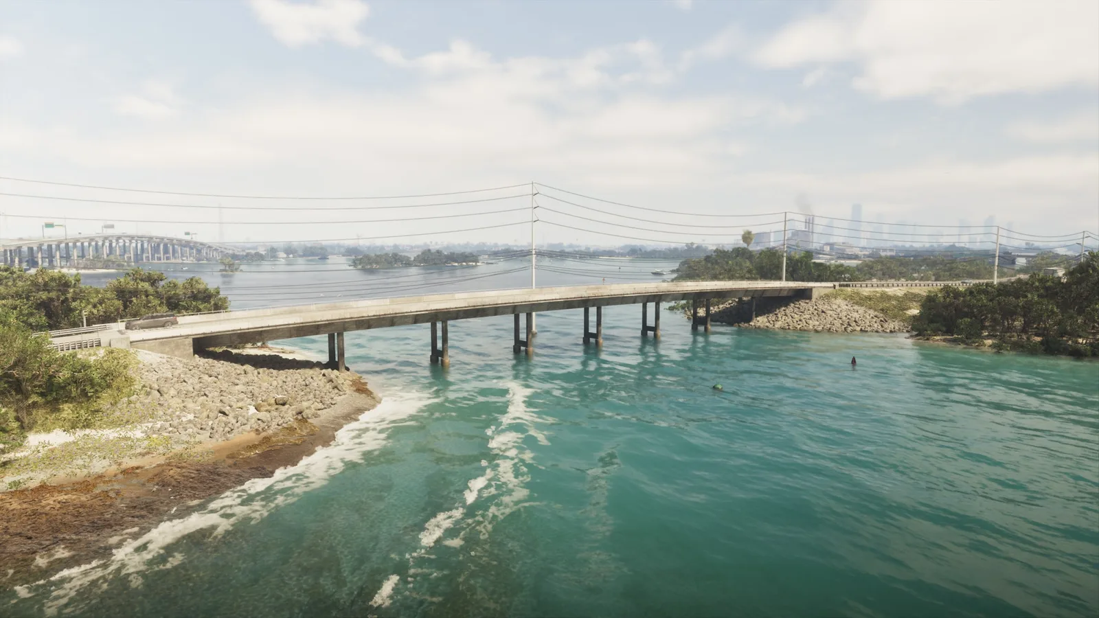
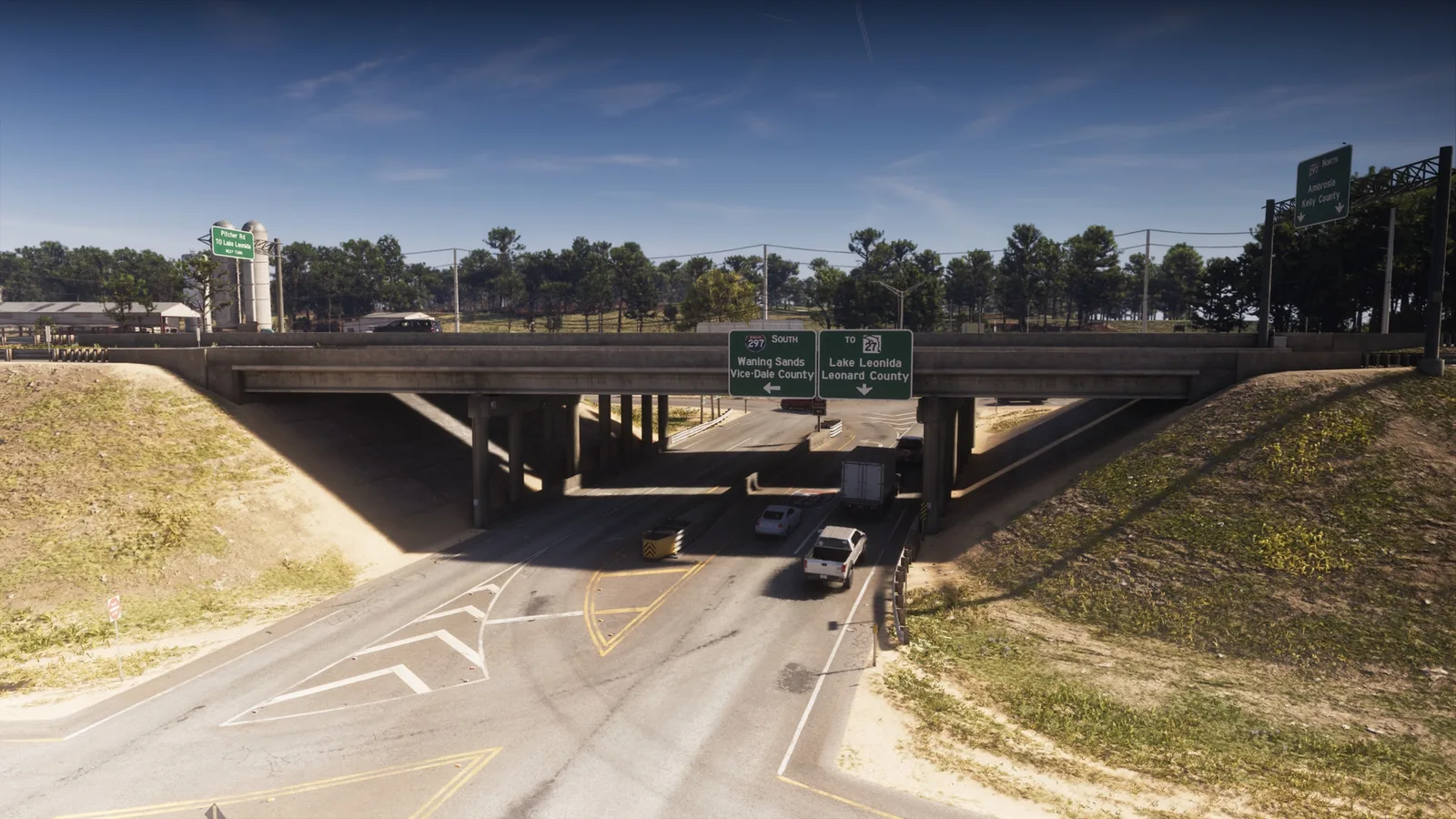
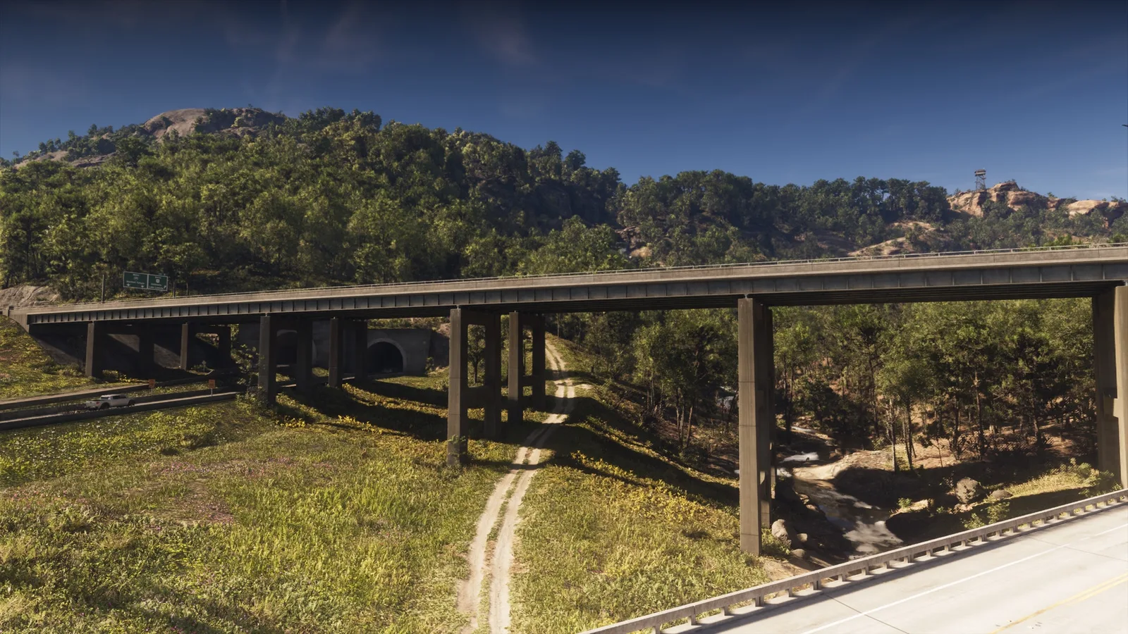
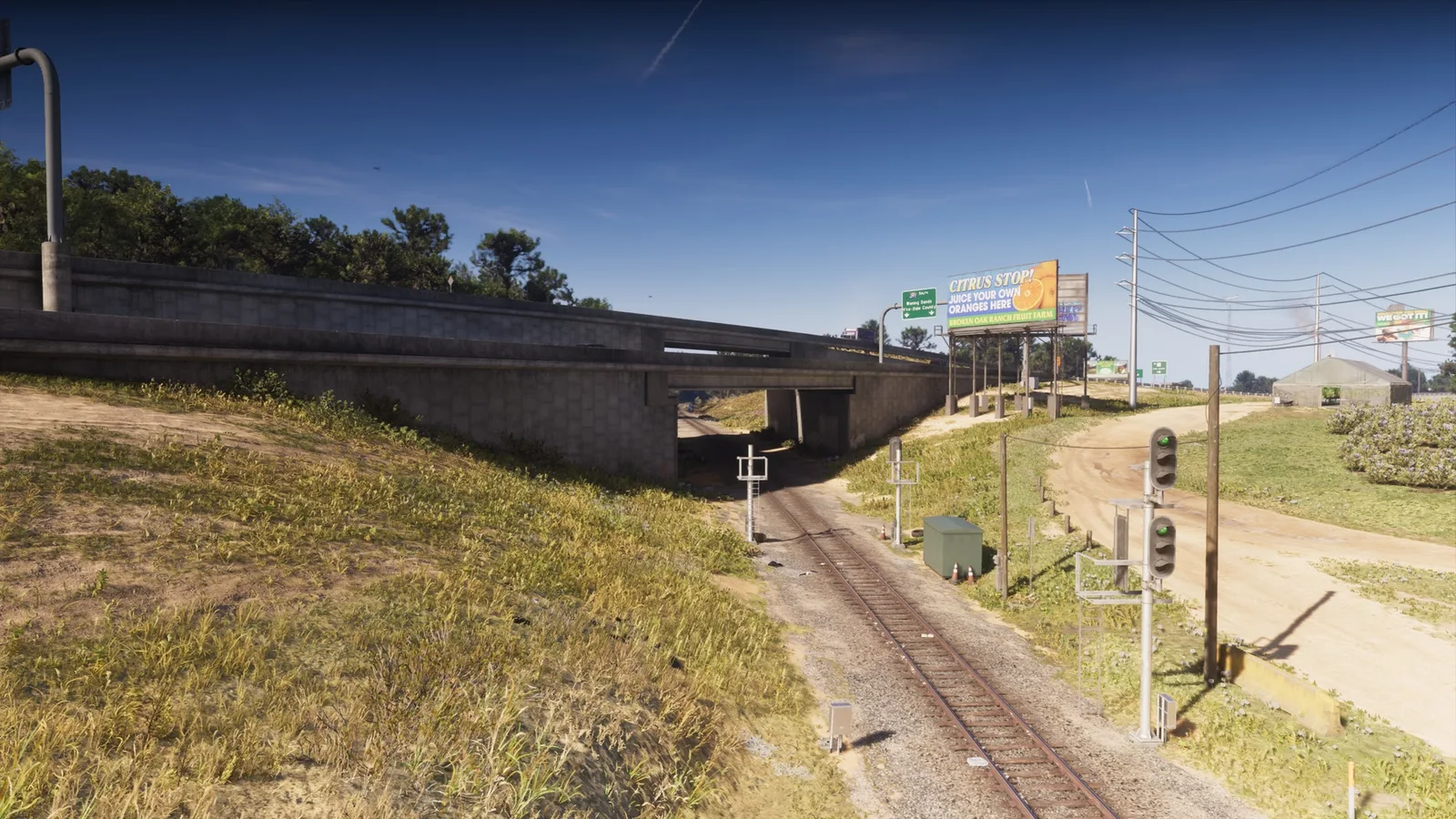
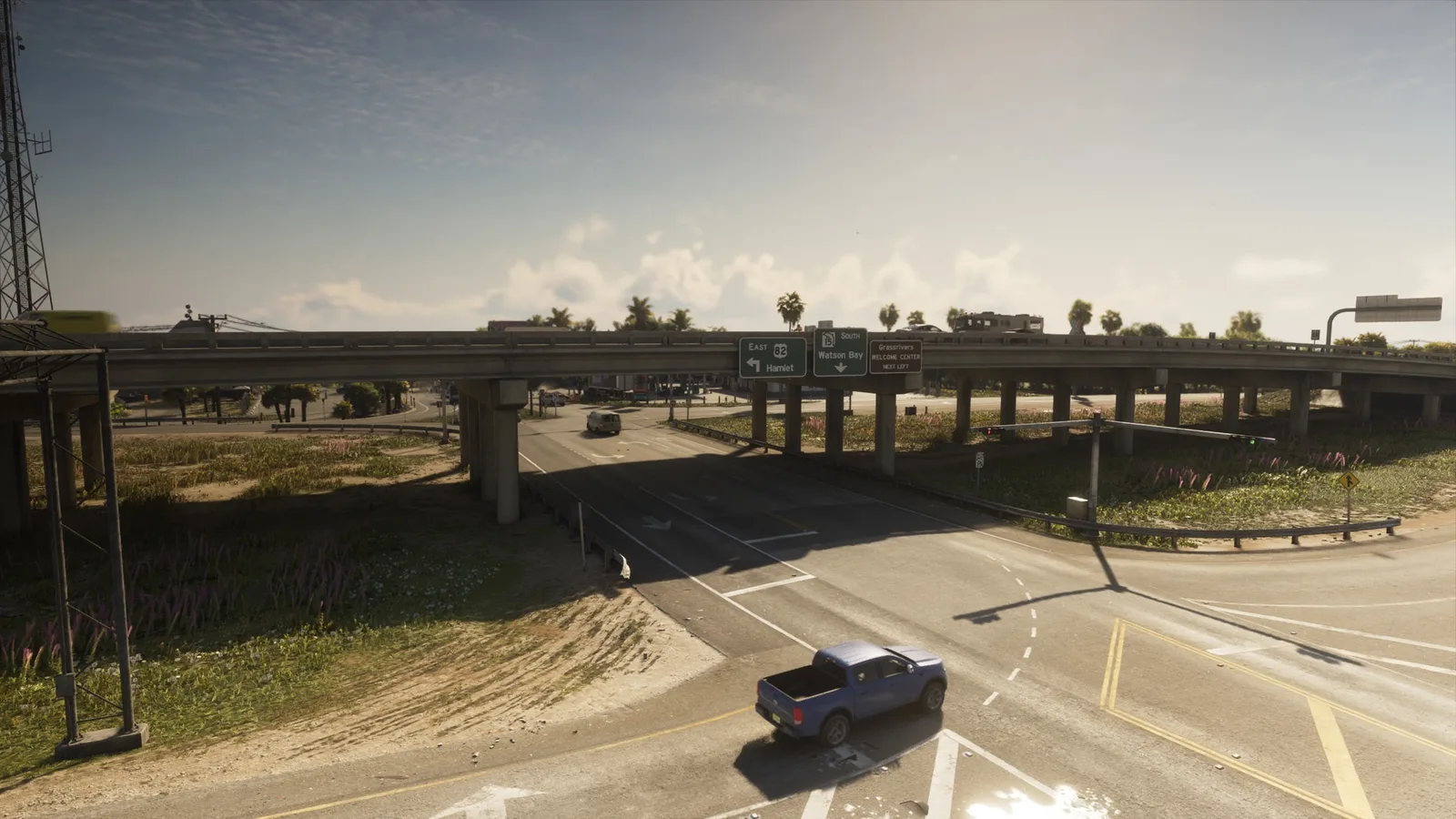
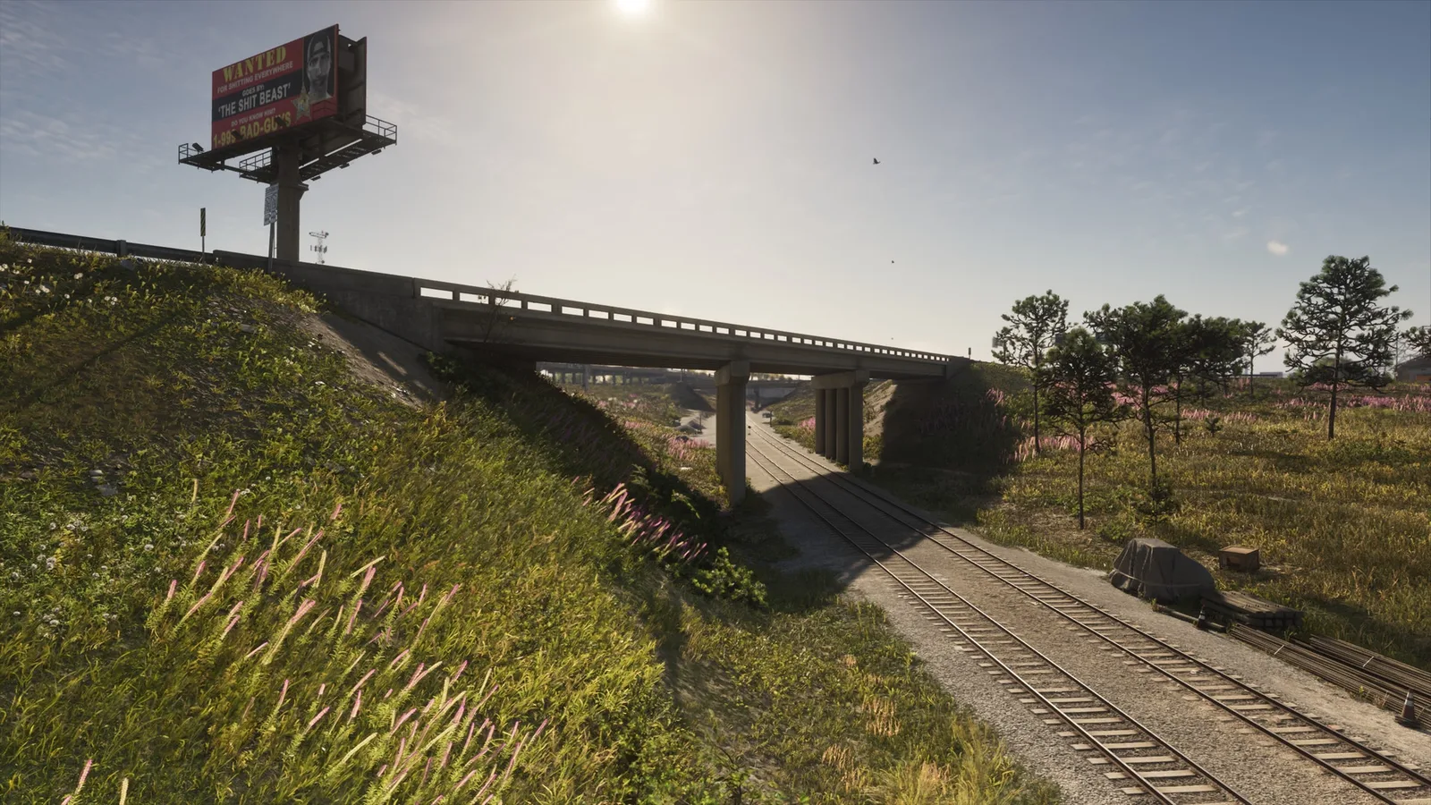
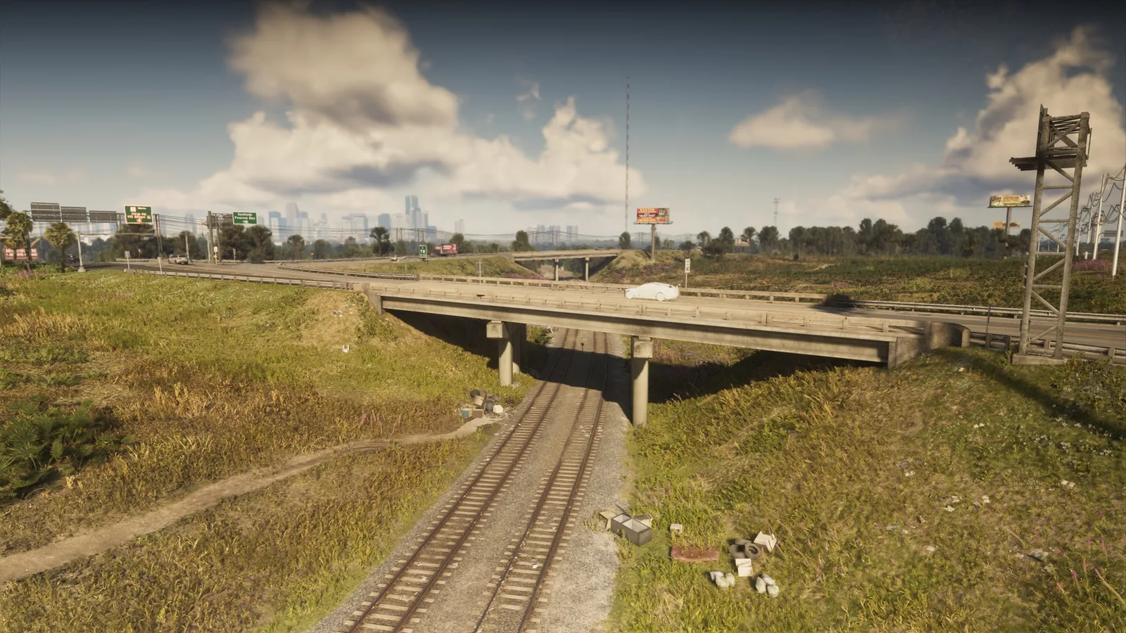
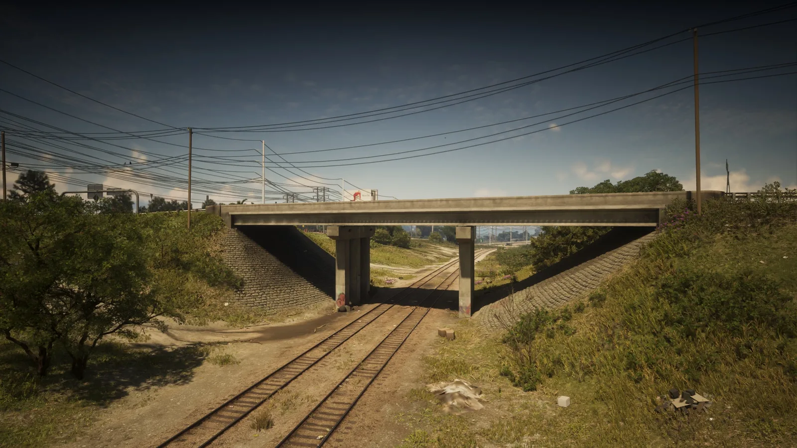
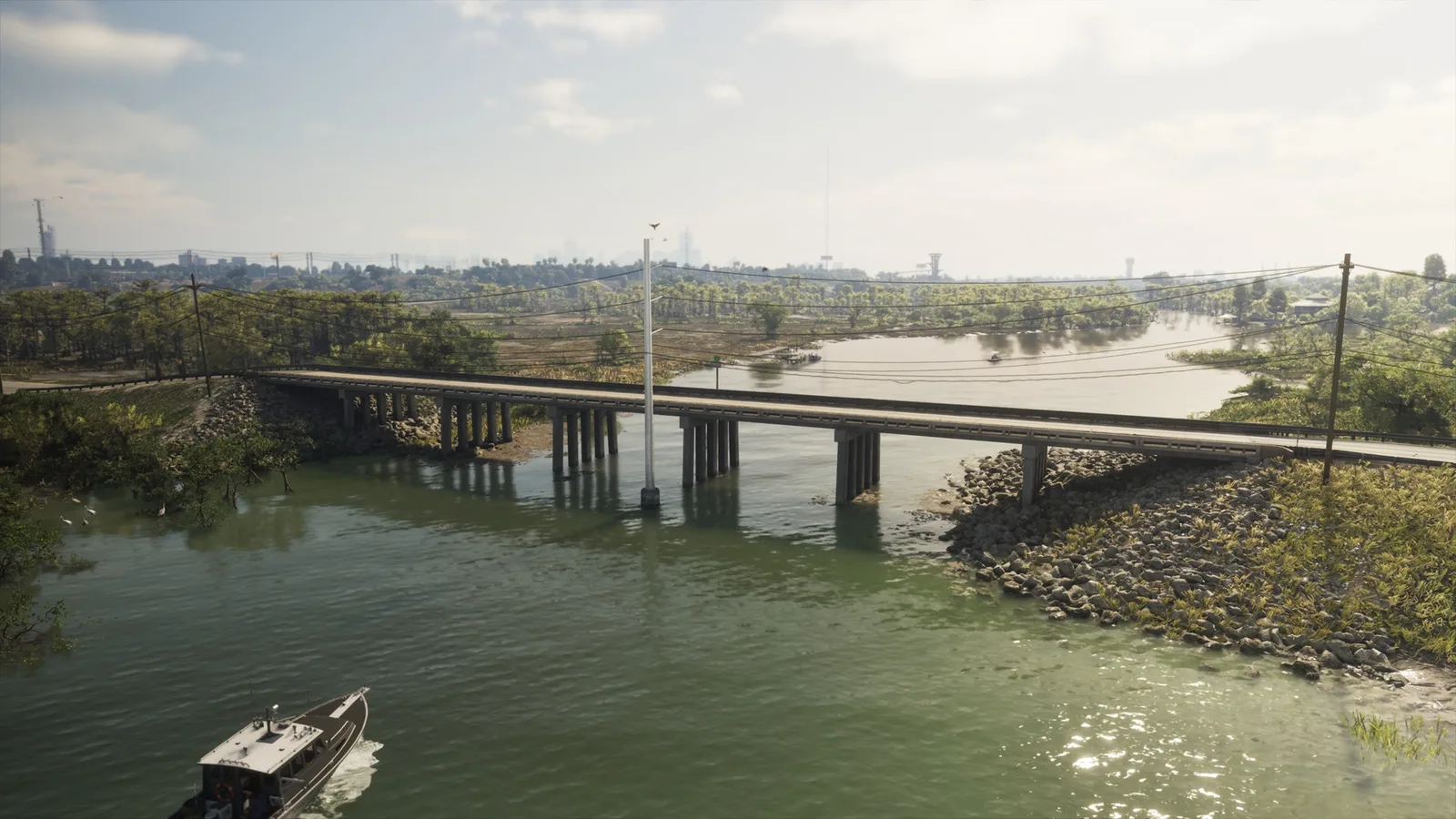
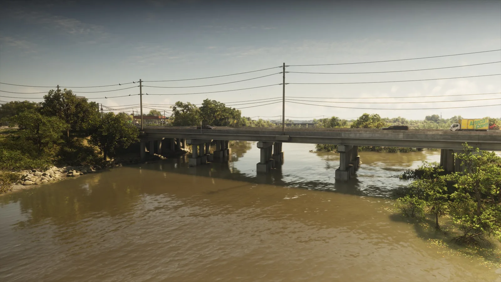
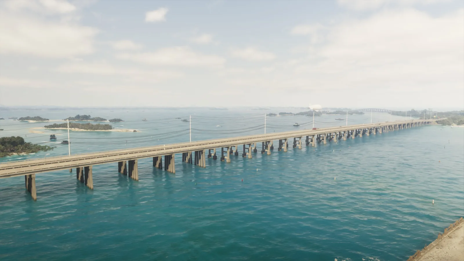
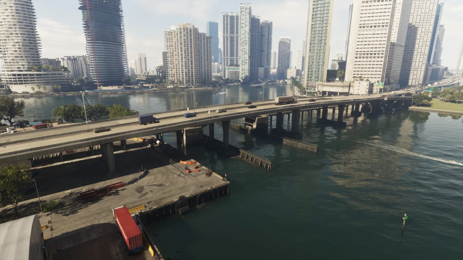
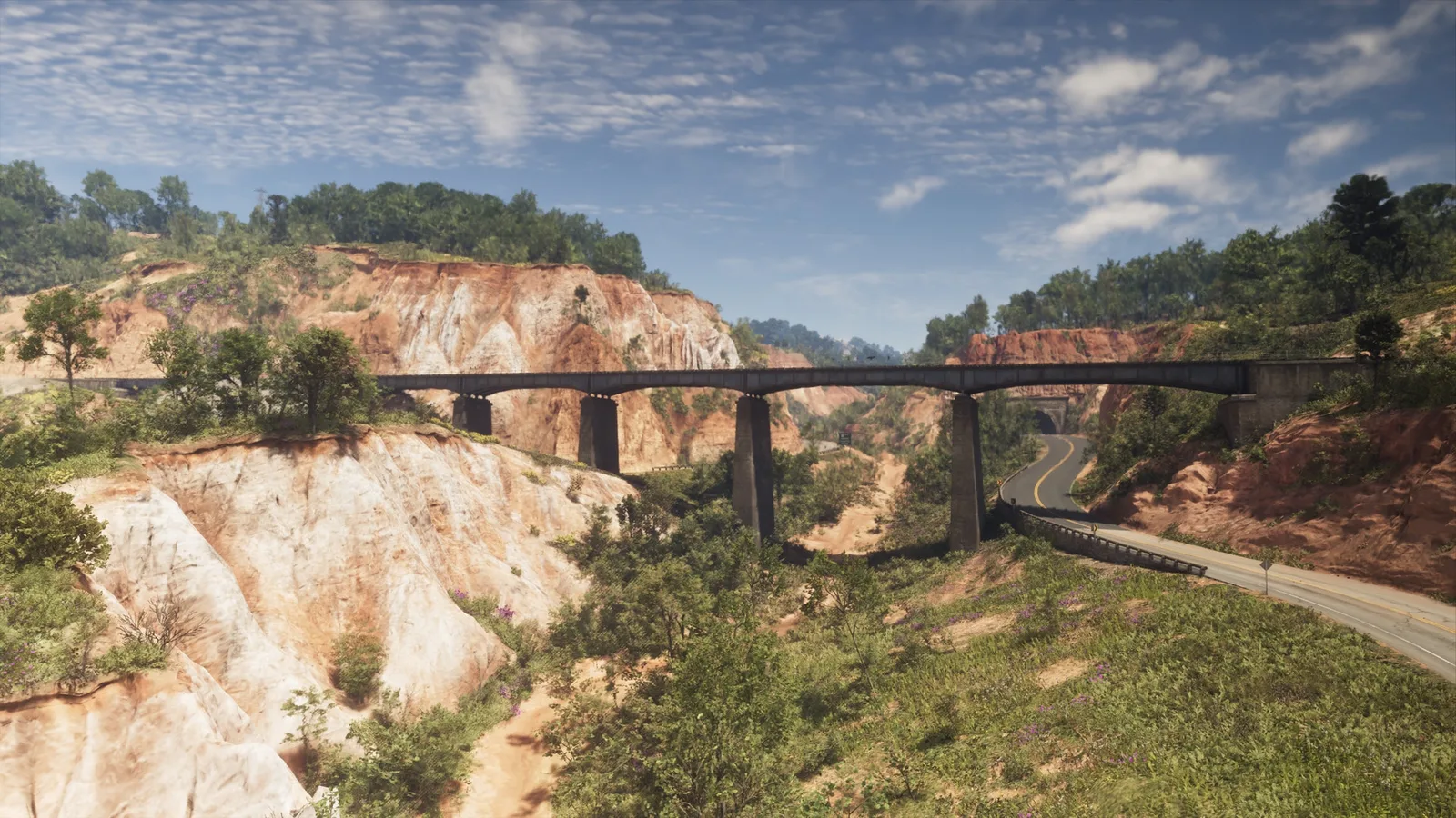
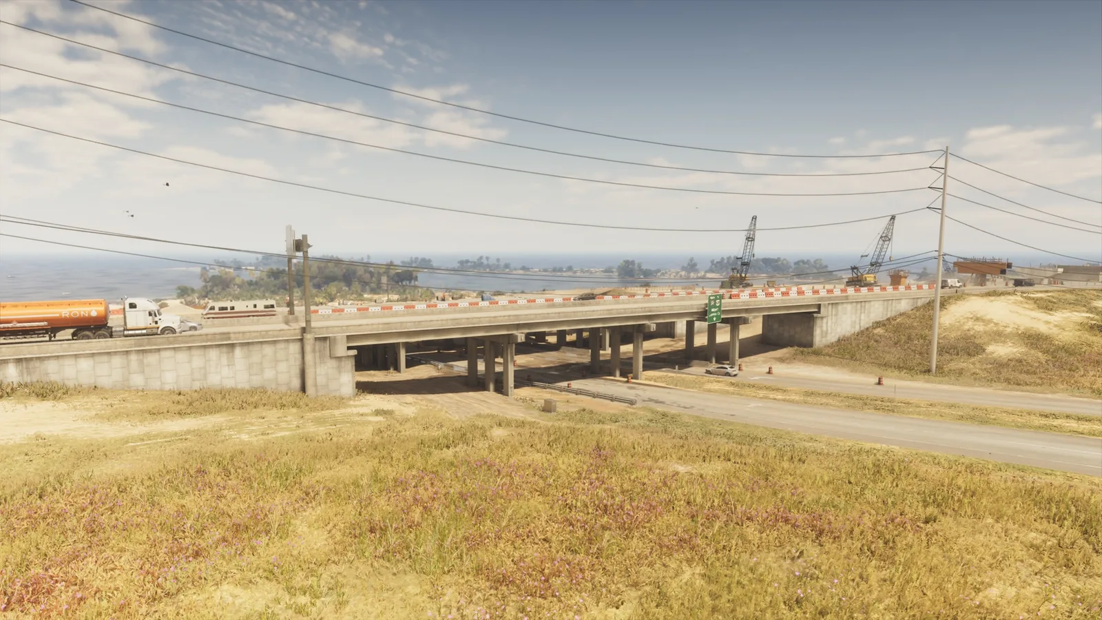
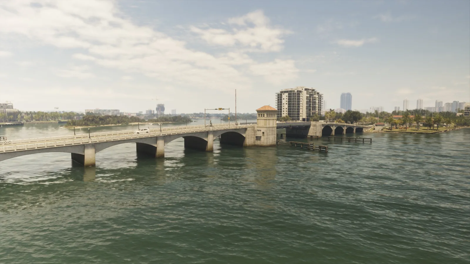
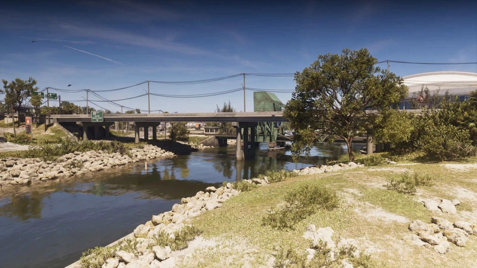
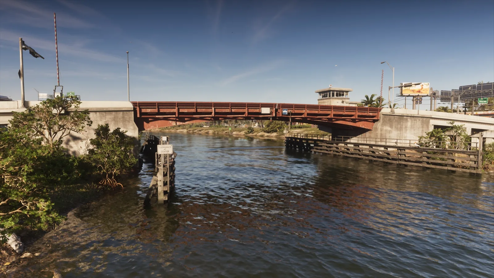
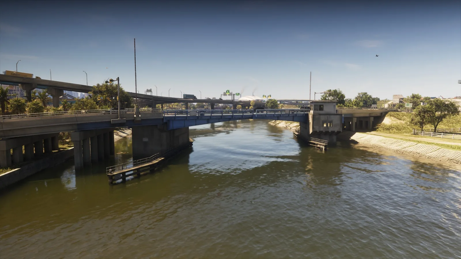
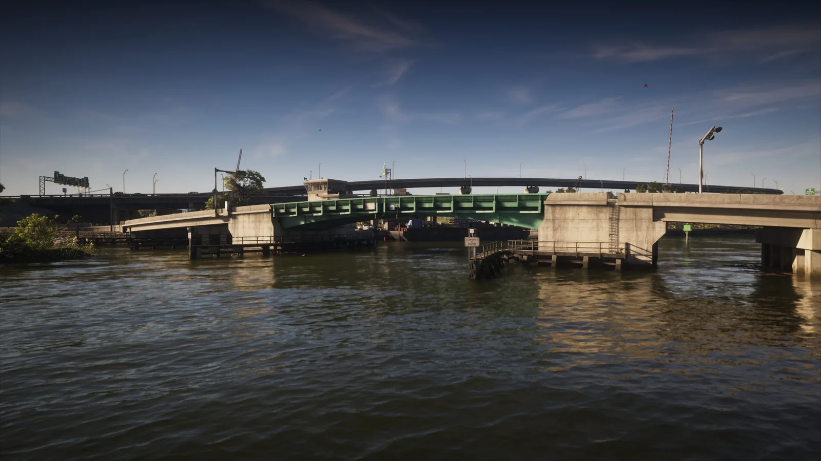
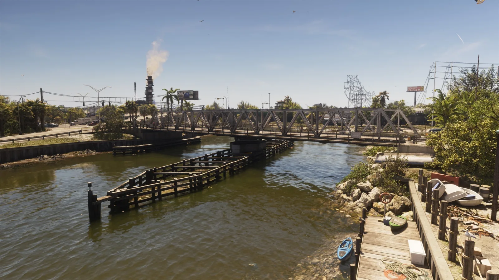
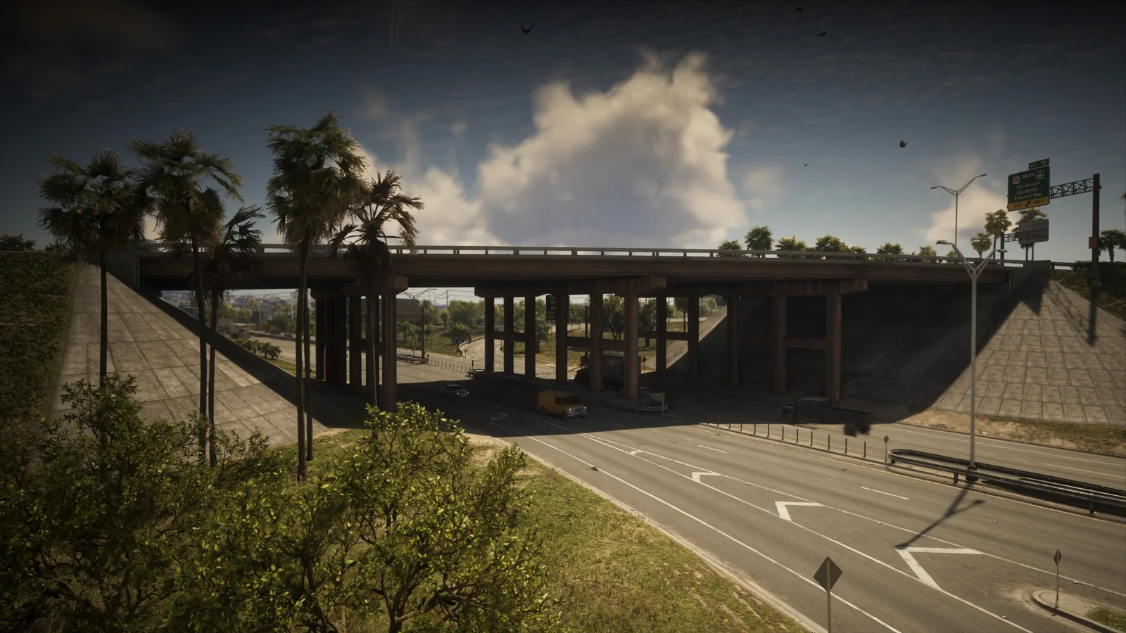
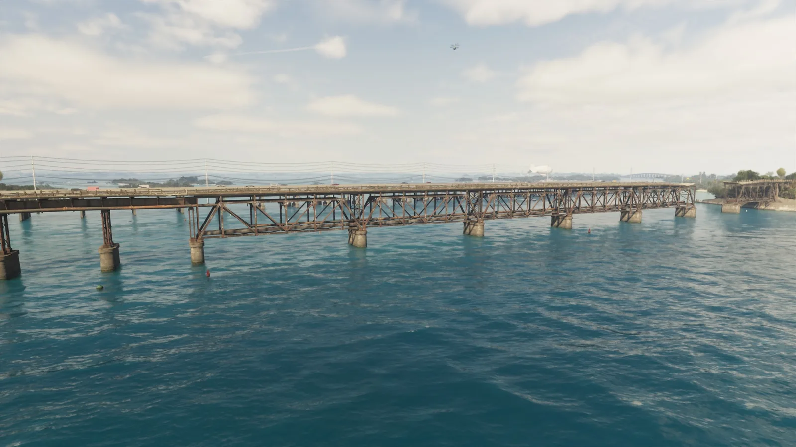
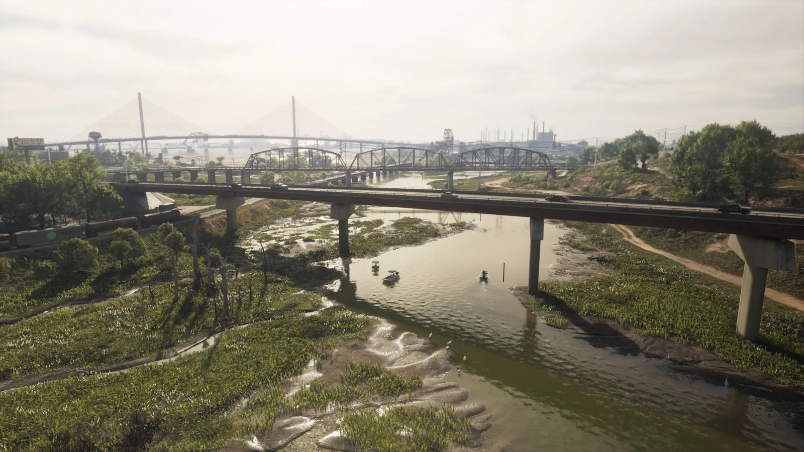
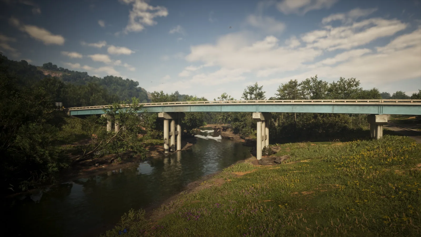
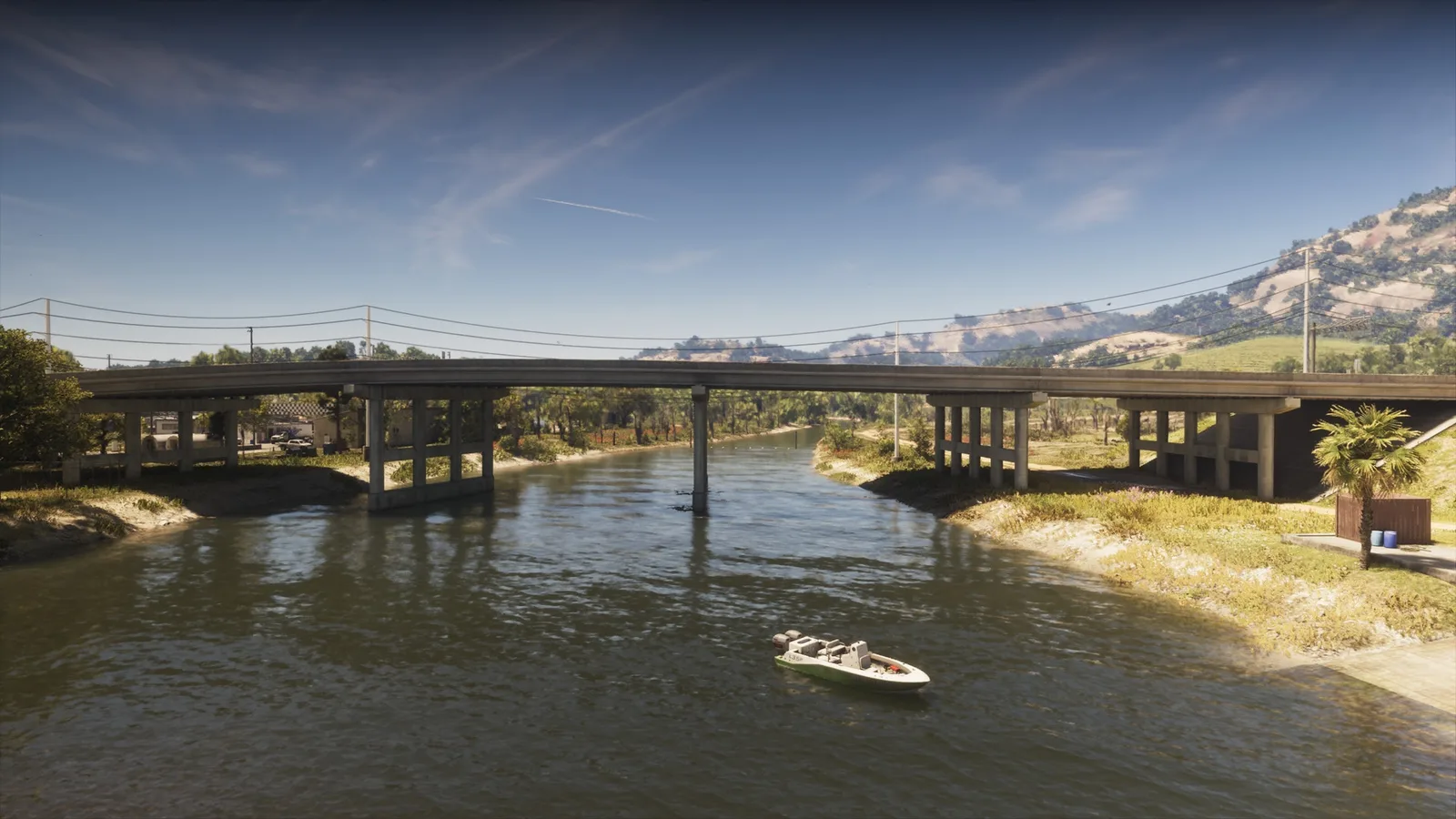
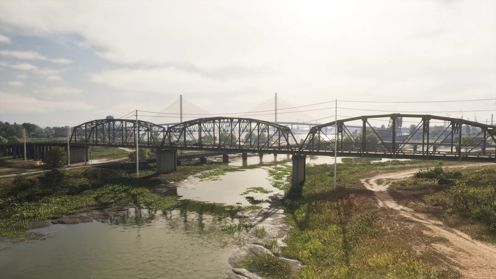
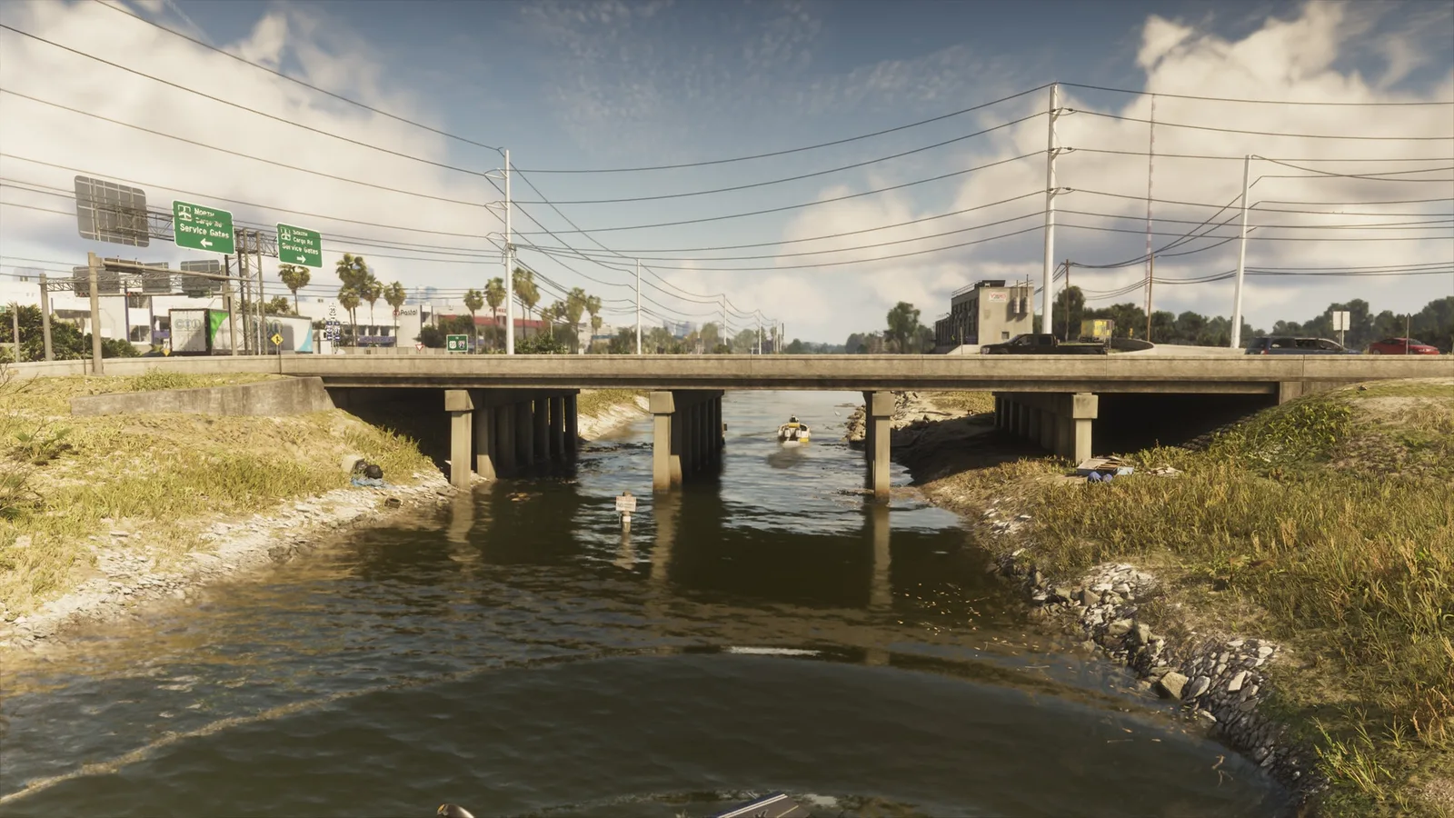
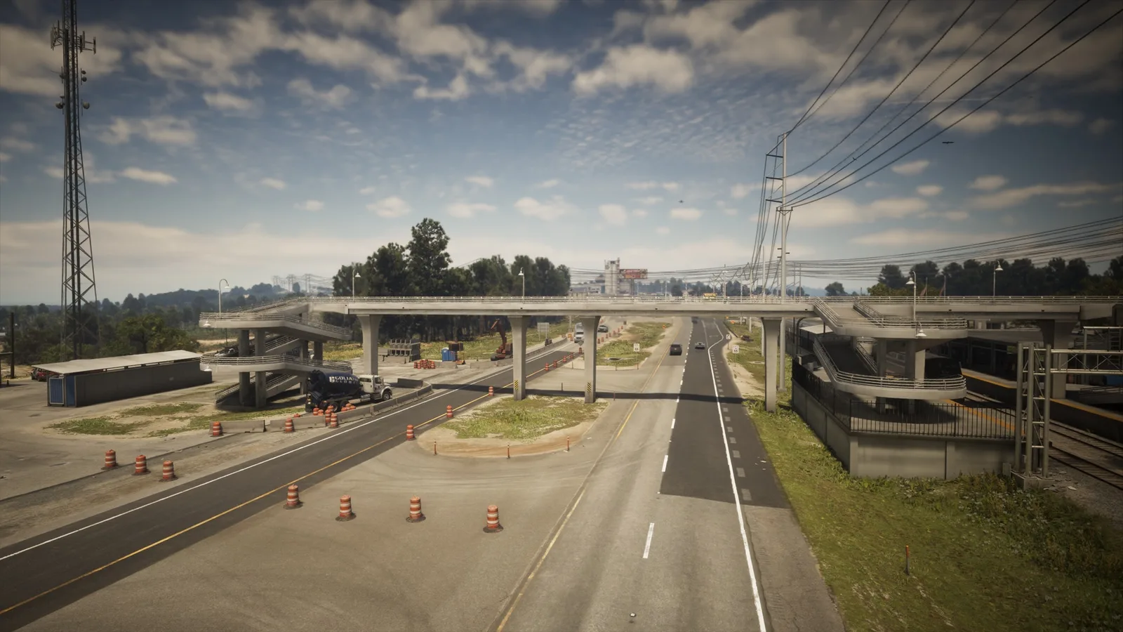
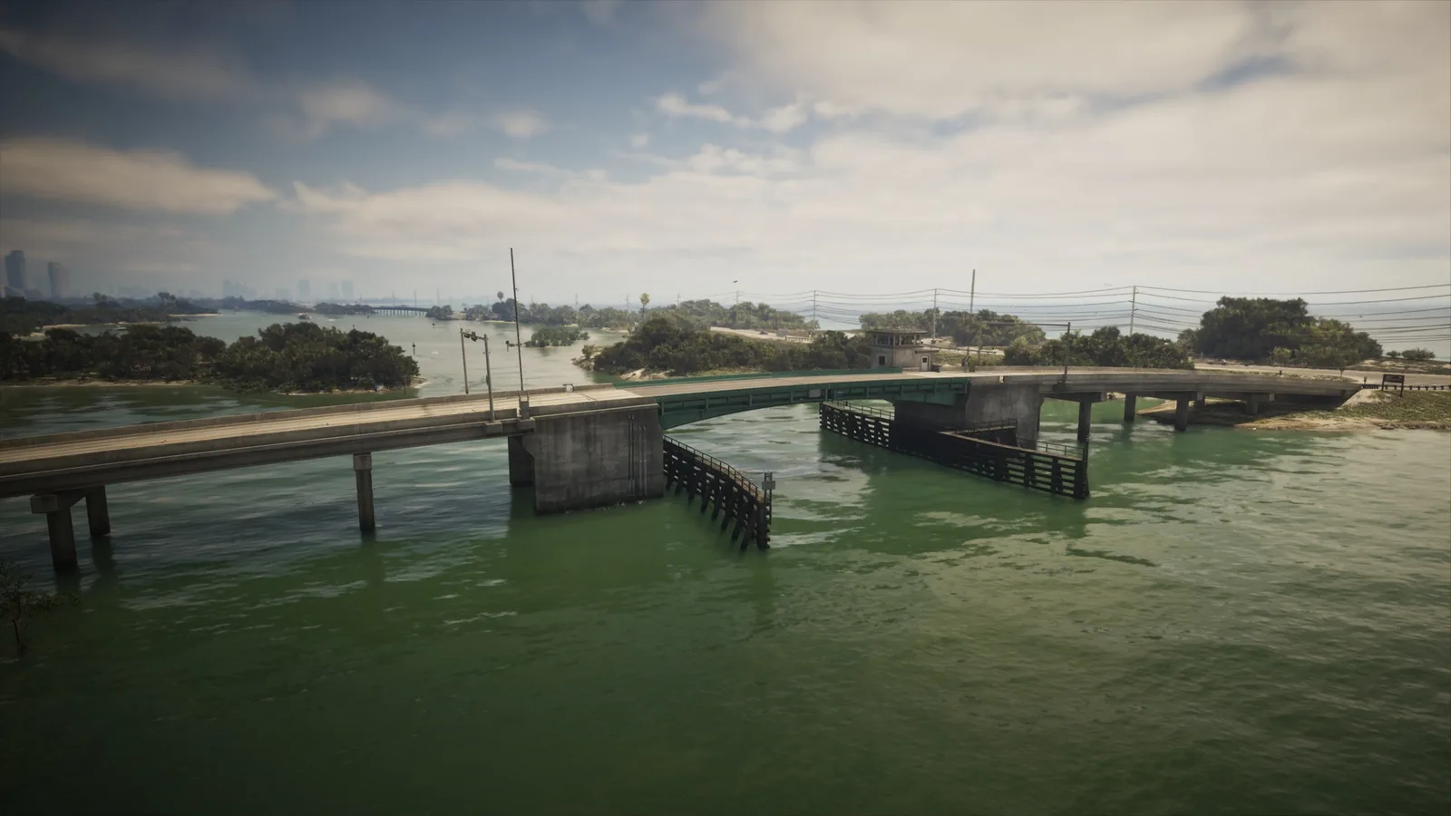
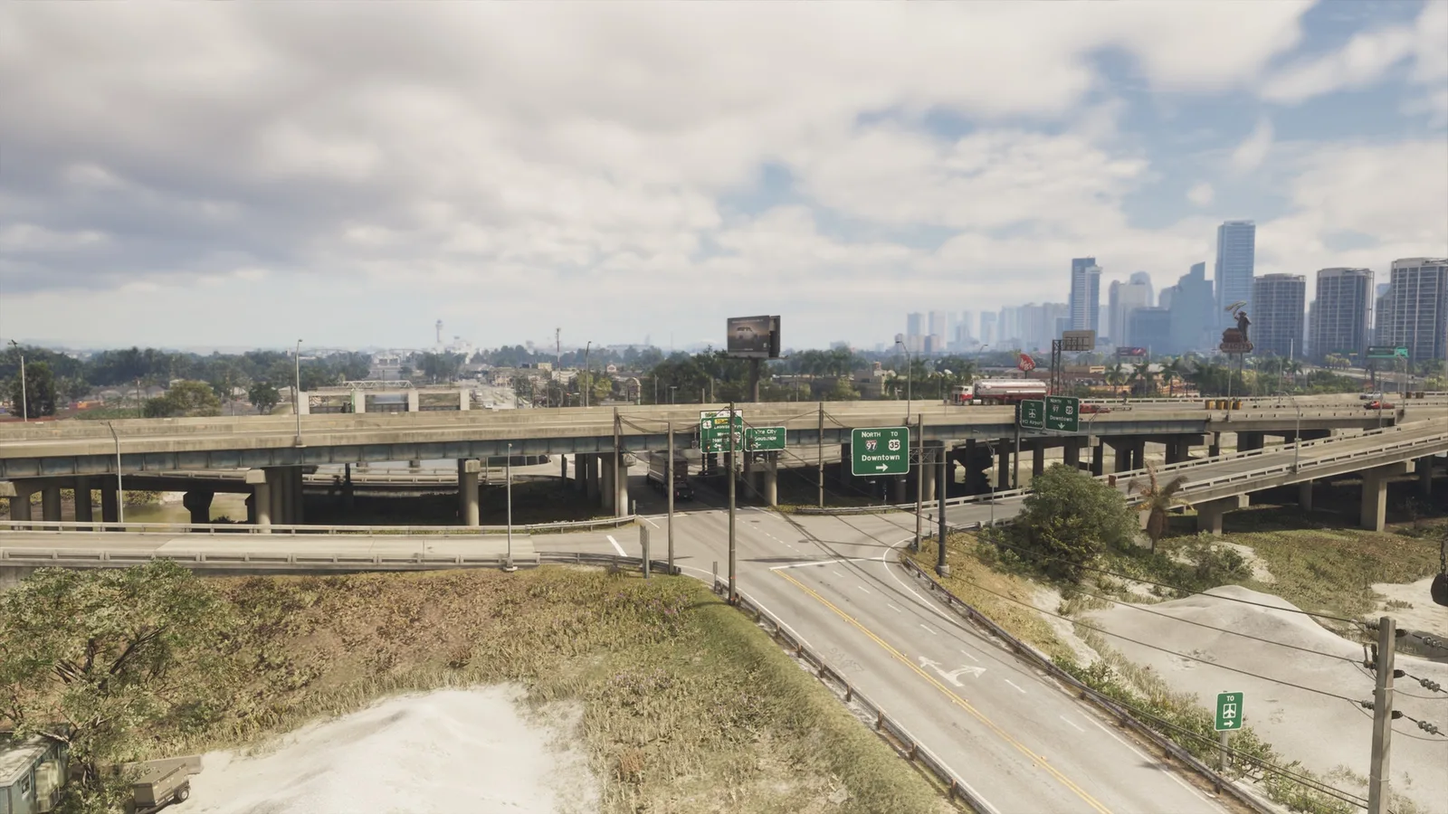
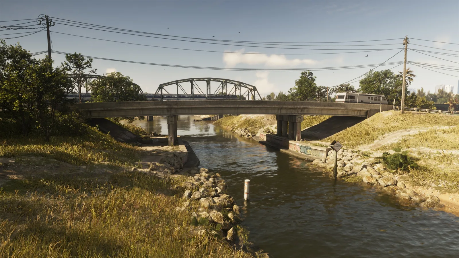
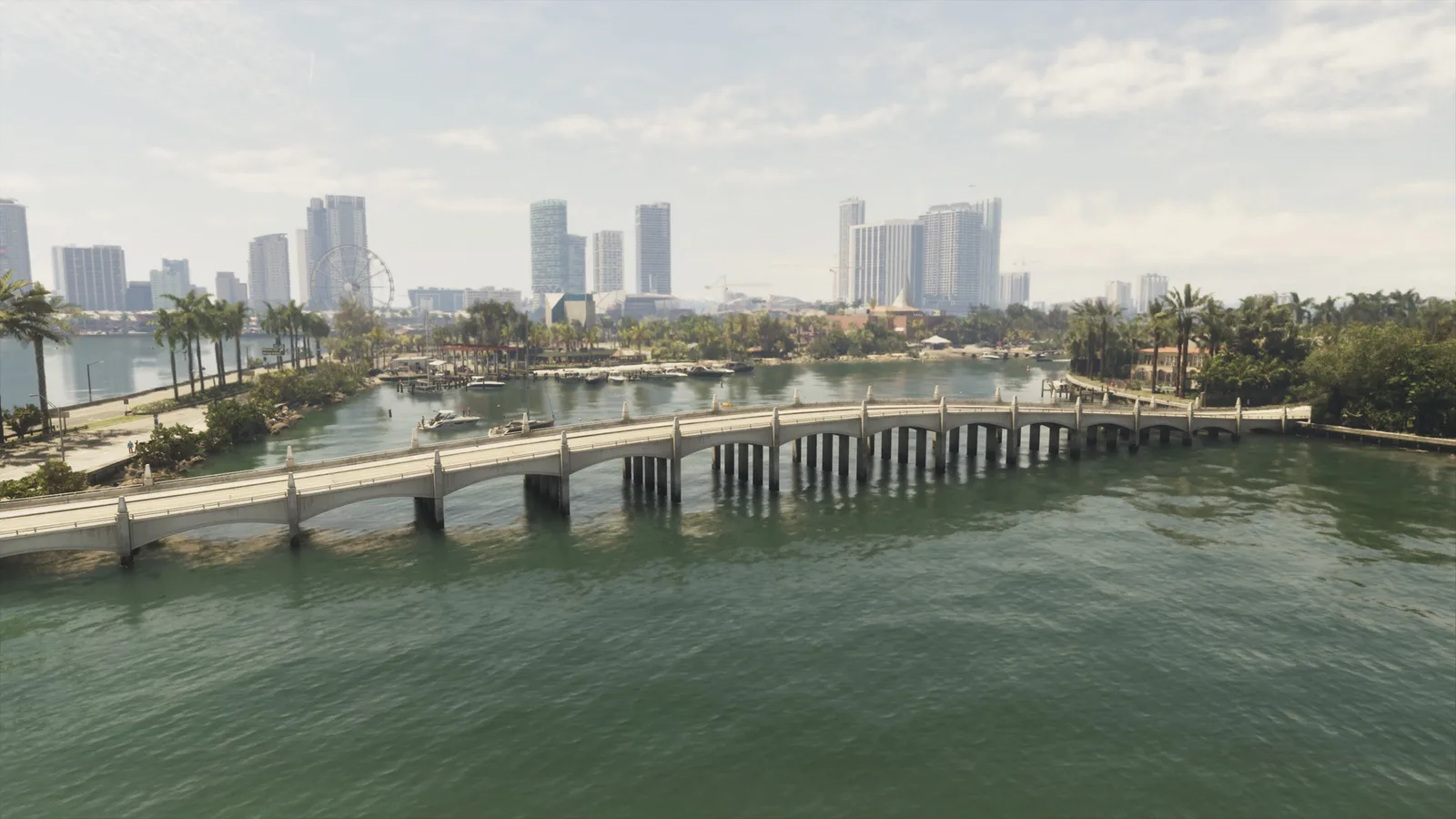
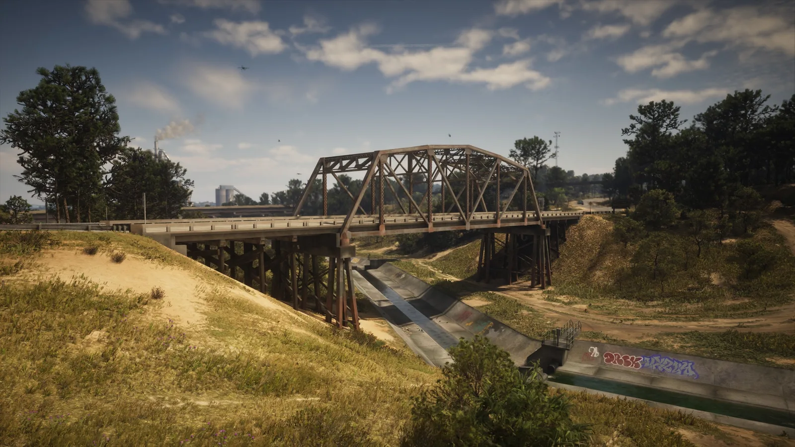
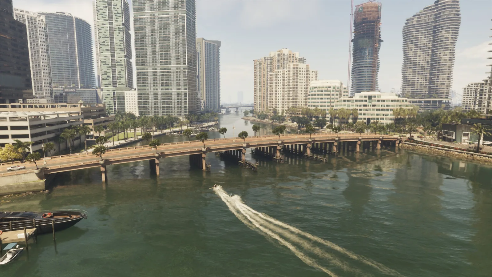
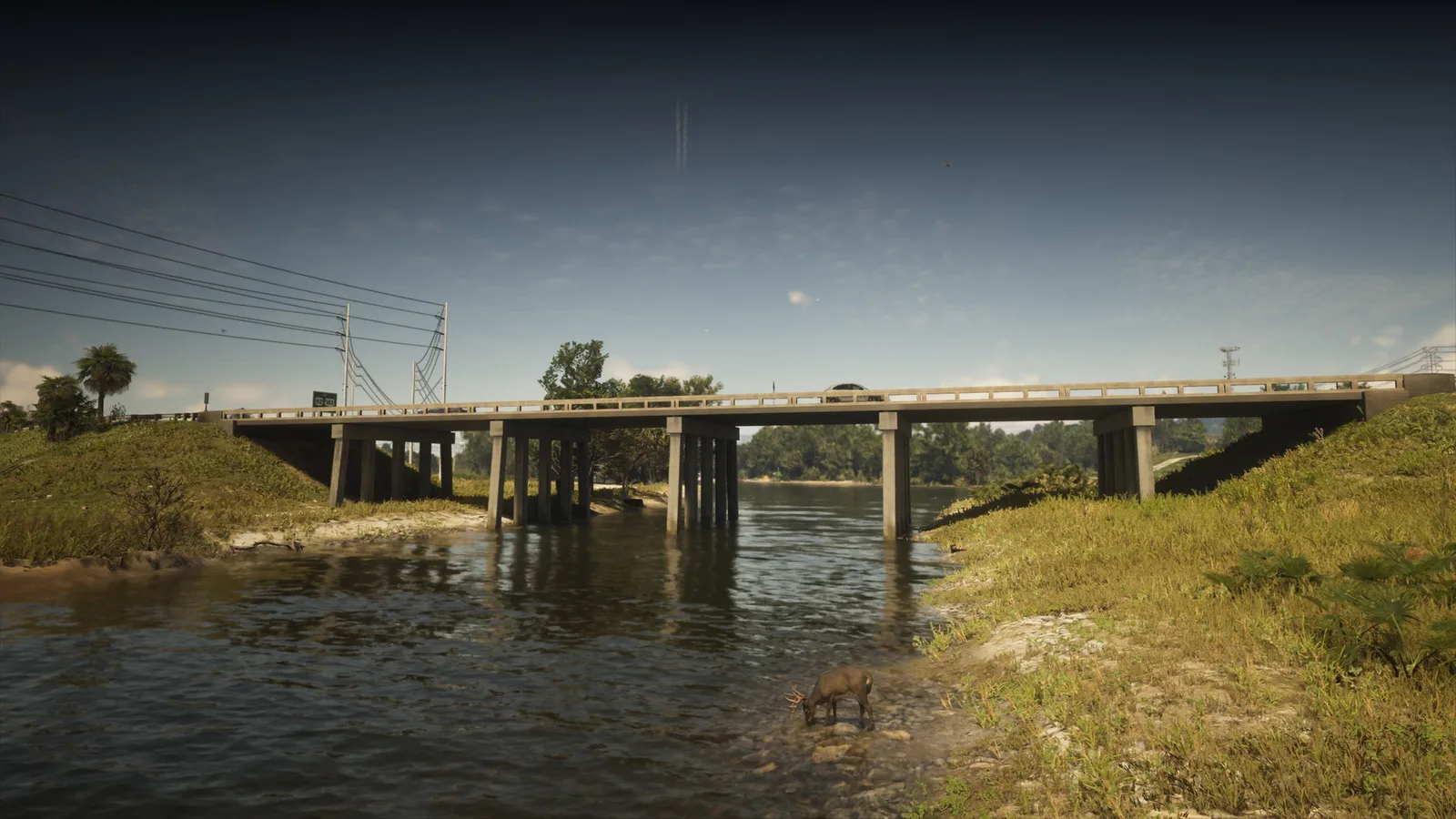
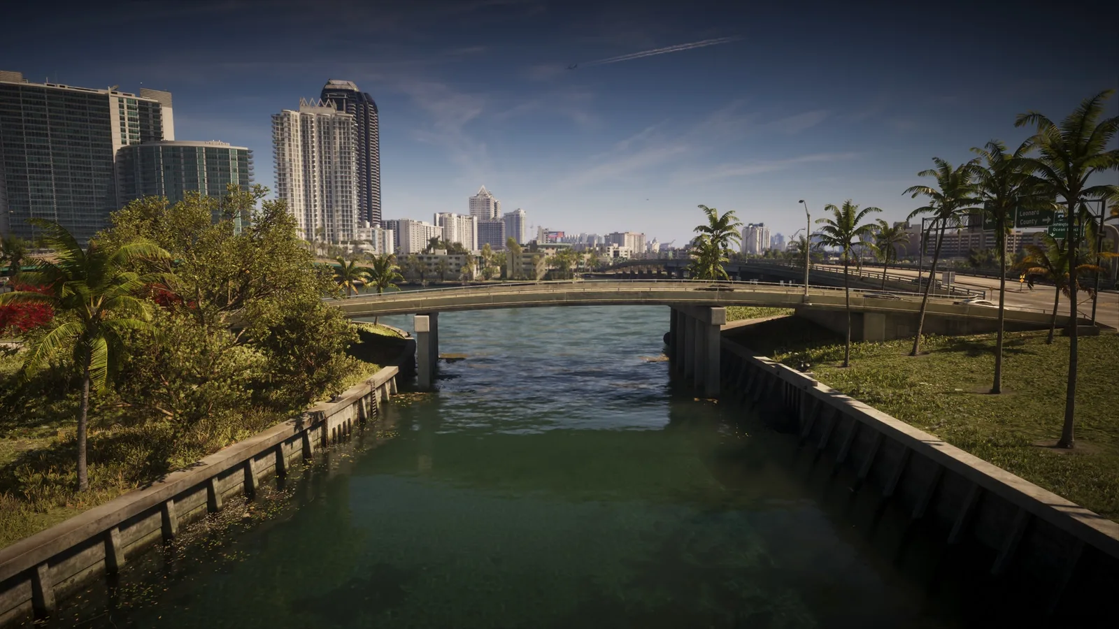
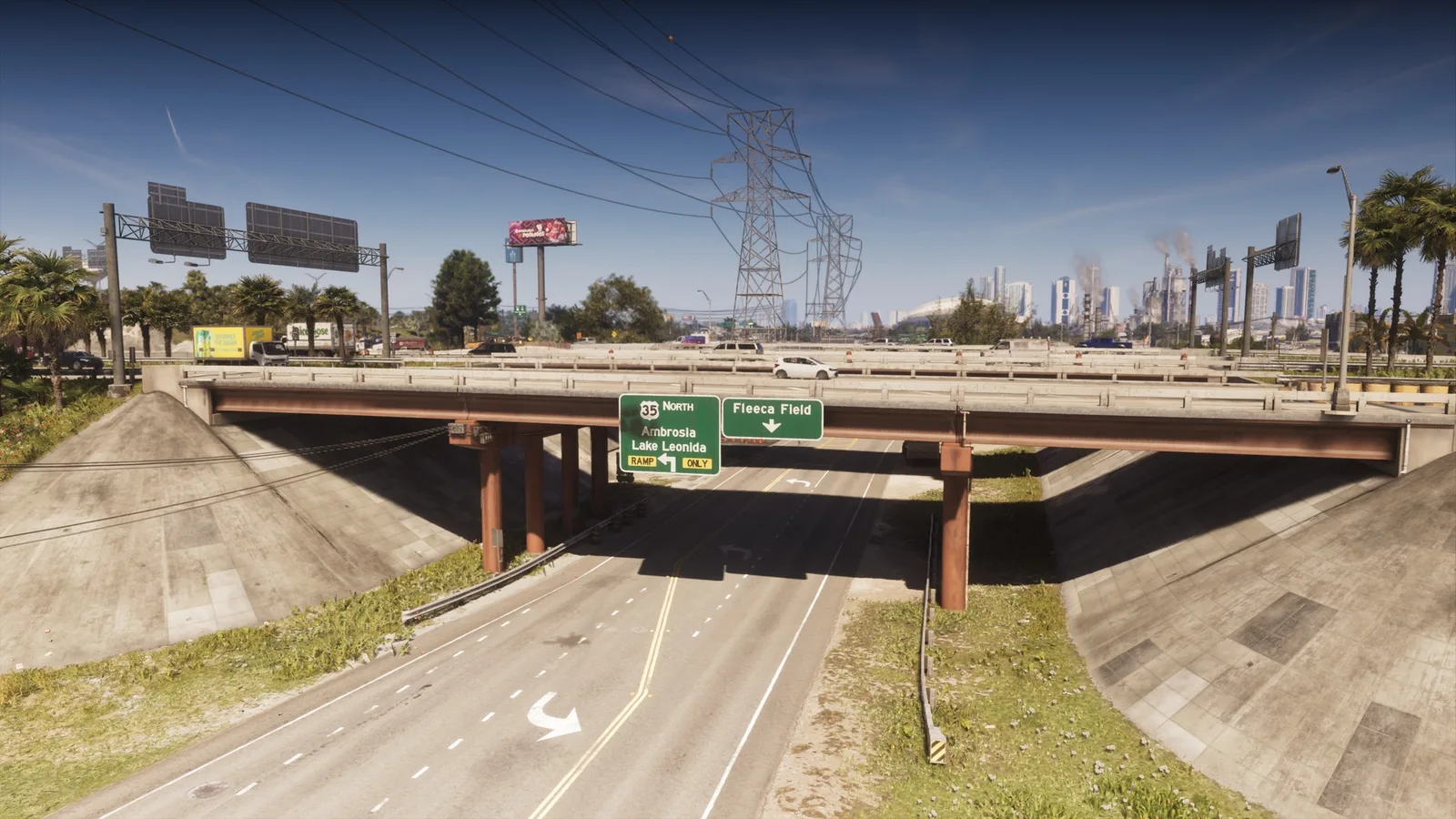
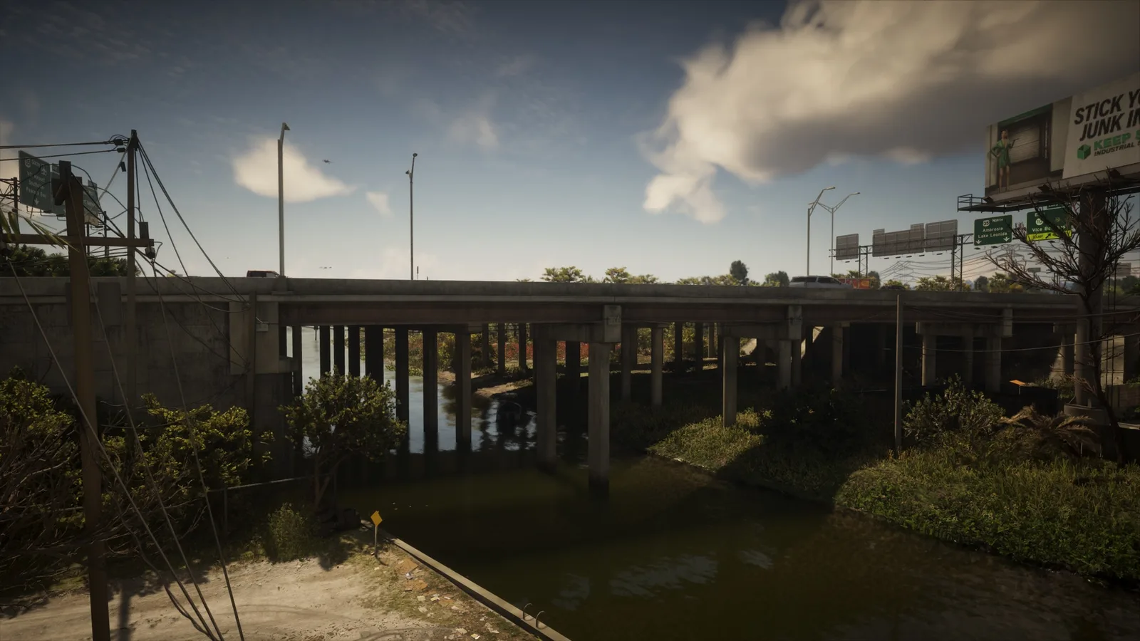
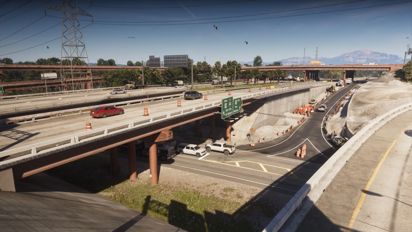
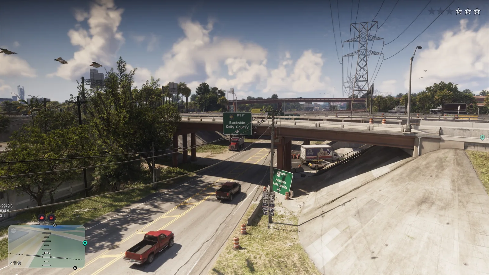
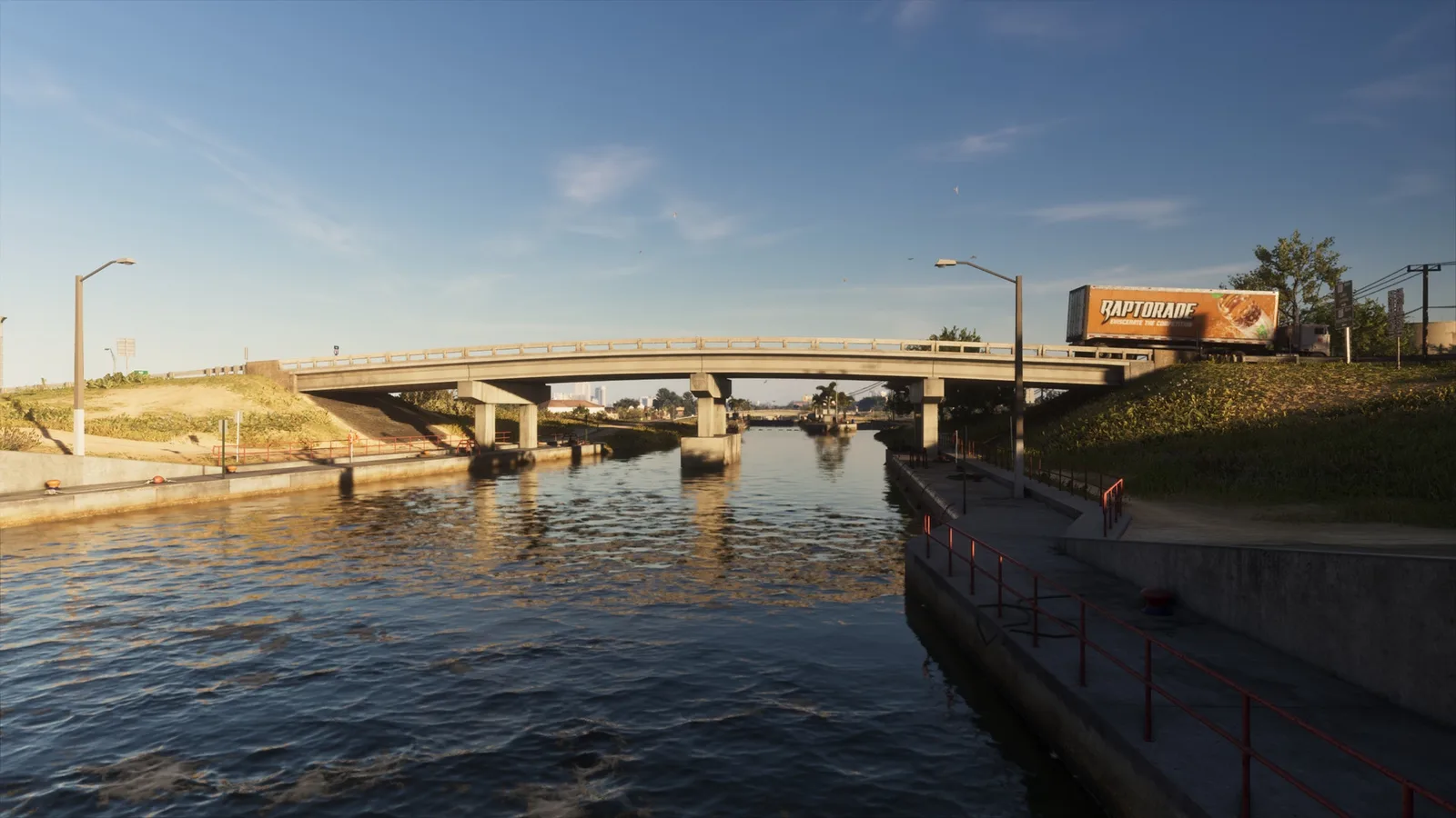
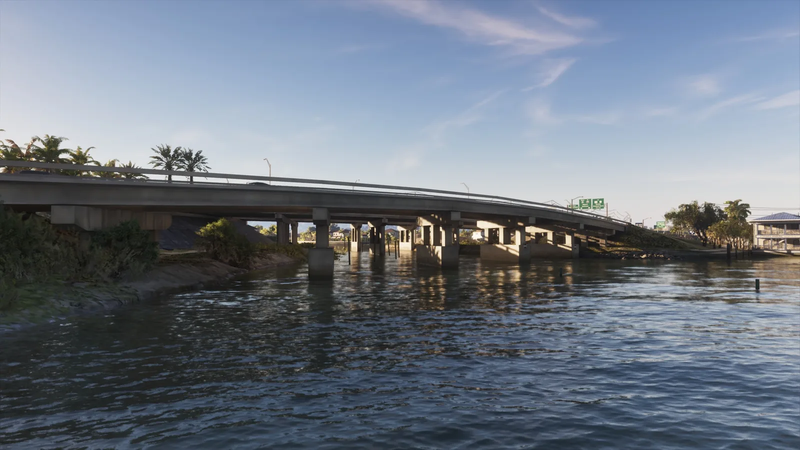
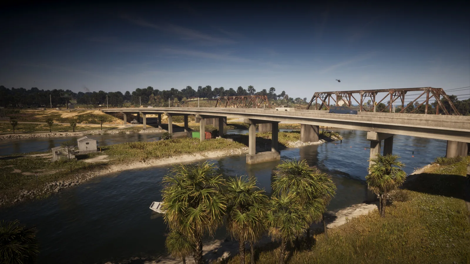
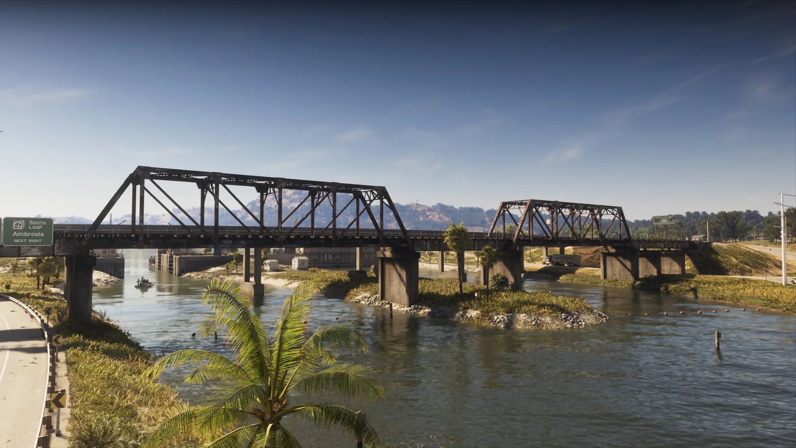
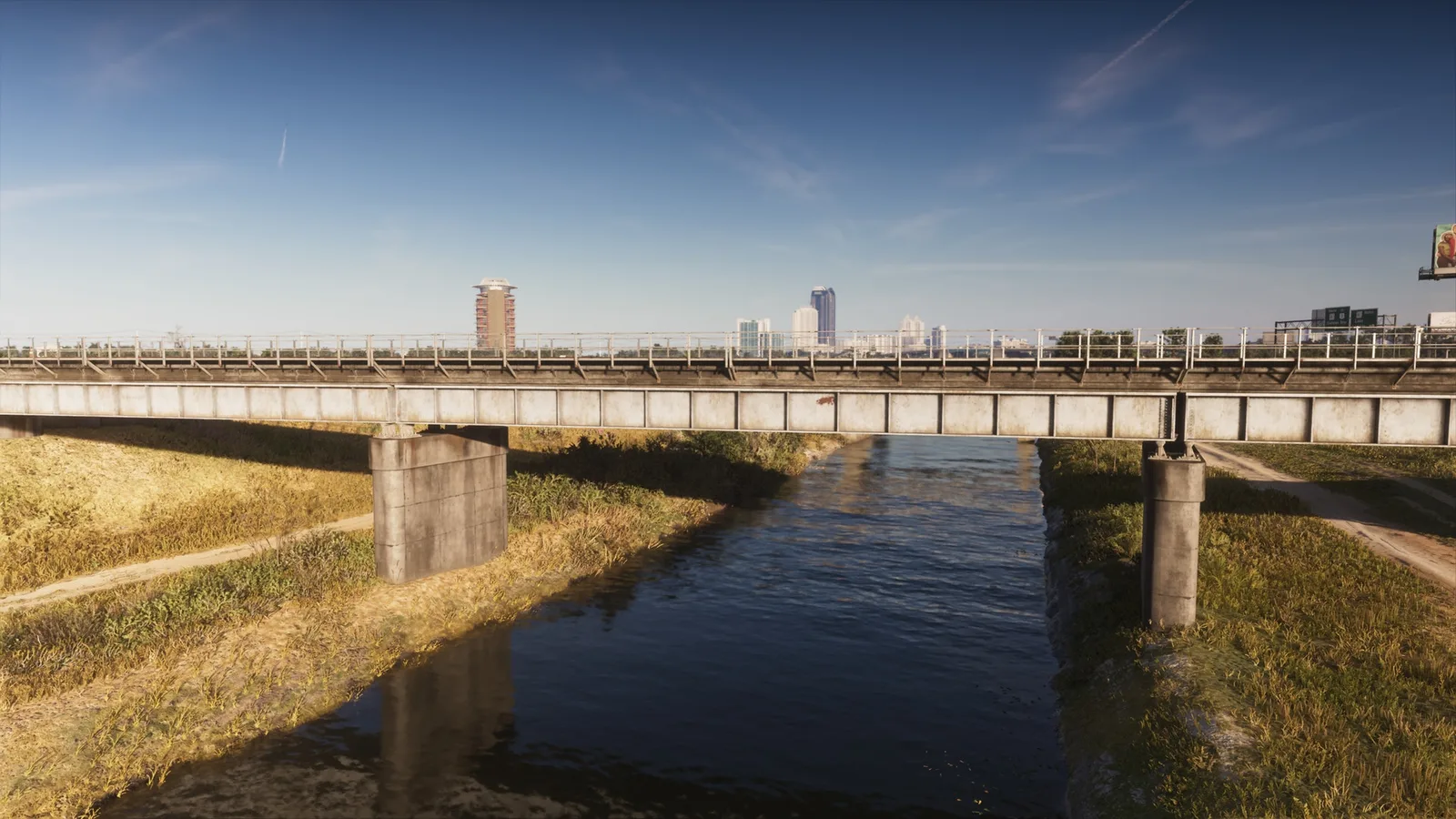
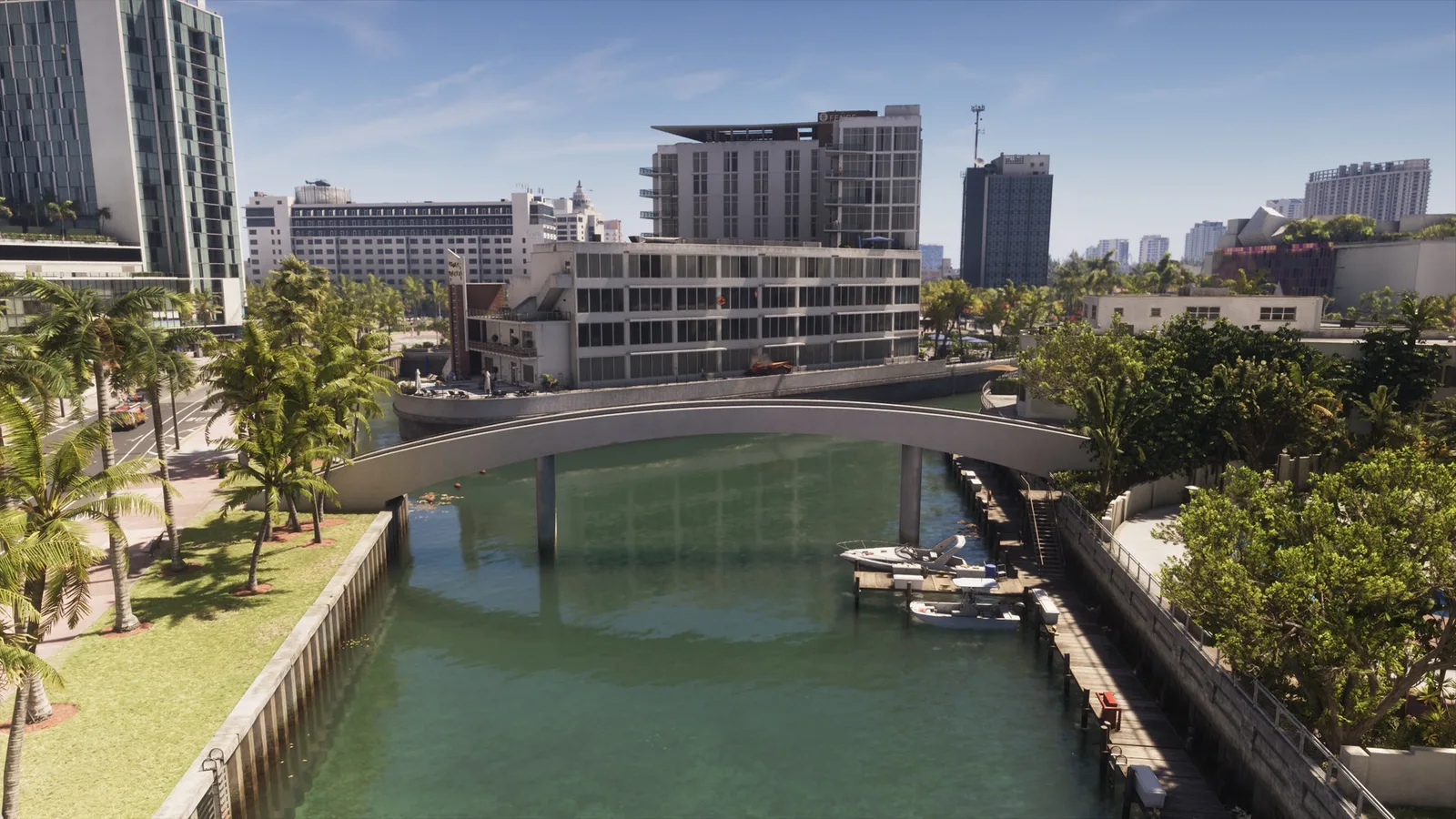
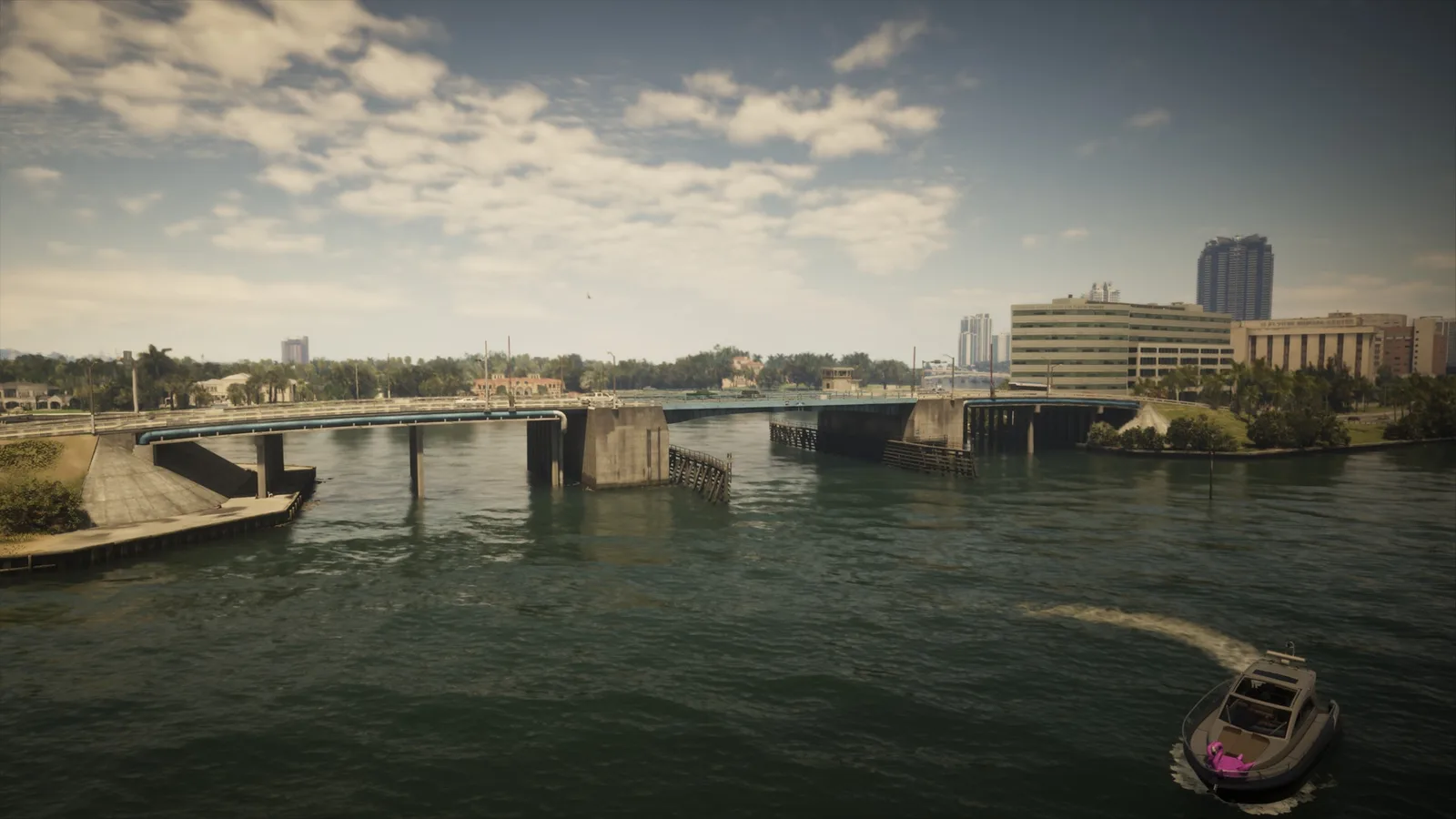
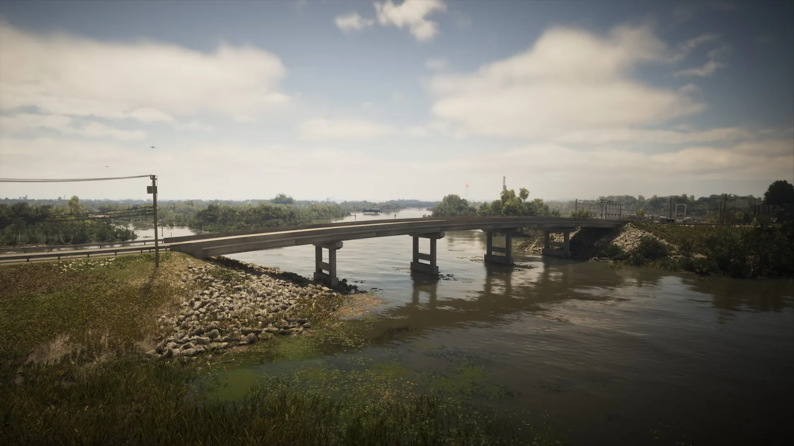
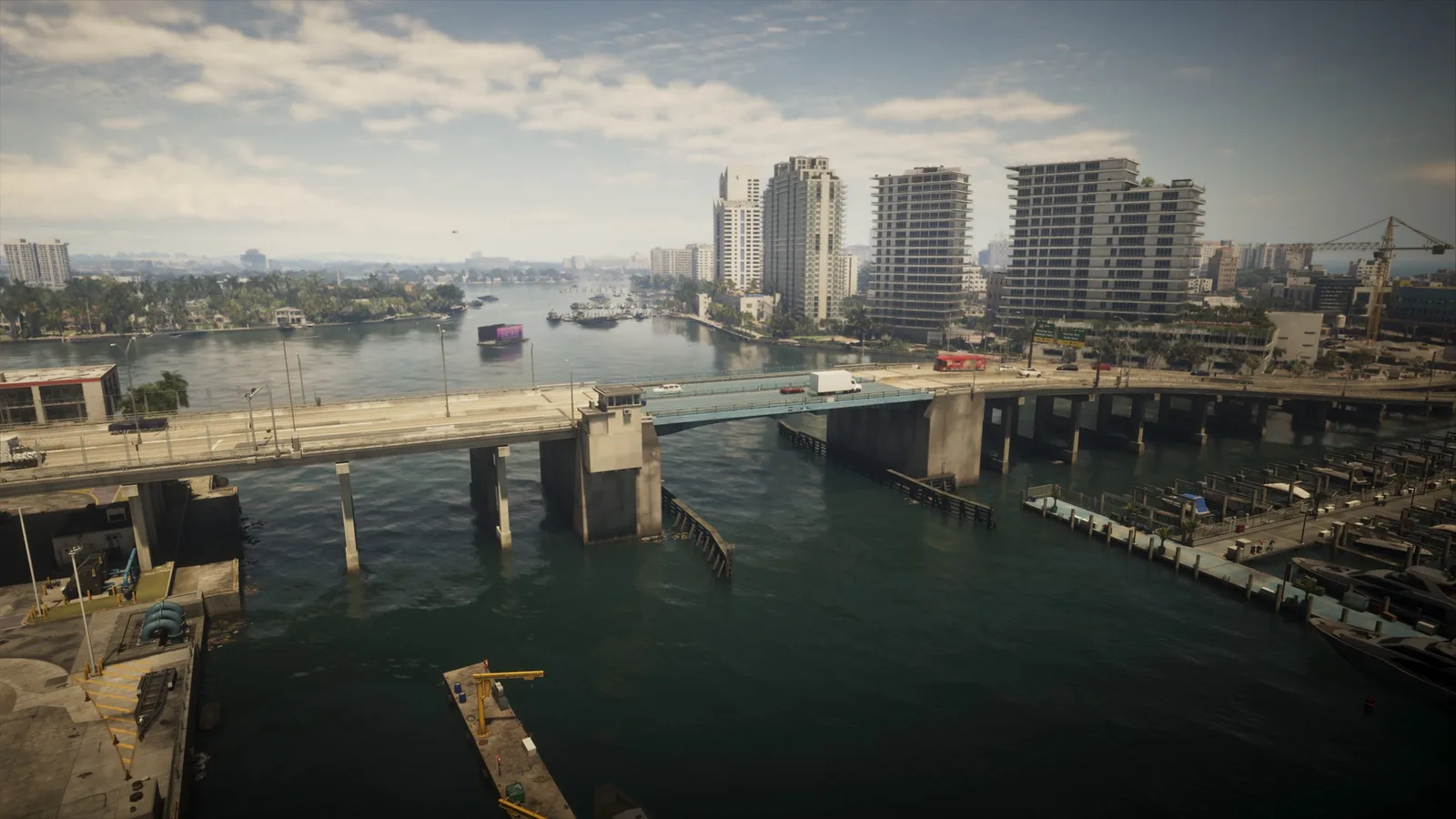
Испытание Under the Bridges в GTA 6 считает мосты, под которыми вы пролетели; счётчик в игре, который мы видели, показывает 202. Здесь 202 мостов с описанием, что каждый пересекает, а каждая строка открывает его на интерактивной карте, чтобы спланировать маршрут.
Совет: ищите по реке или городу, чтобы собрать маршрут, и отмечайте мосты по ходу. Отметки хранятся в вашем браузере.
Связано: игровое испытание «Under the Bridges» считает эти места. Under the Bridges
-
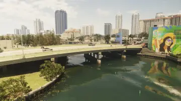
1. Ajax Gym / Lawton Theater
Где: Under the bridge over the river connecting Penmarch Isle and Oldby Island
-
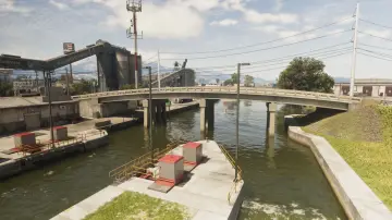
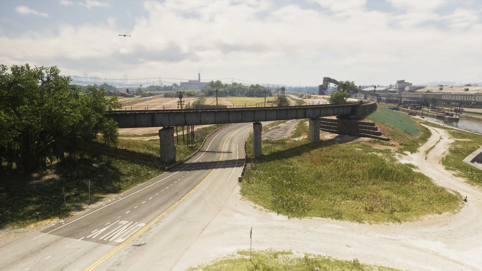
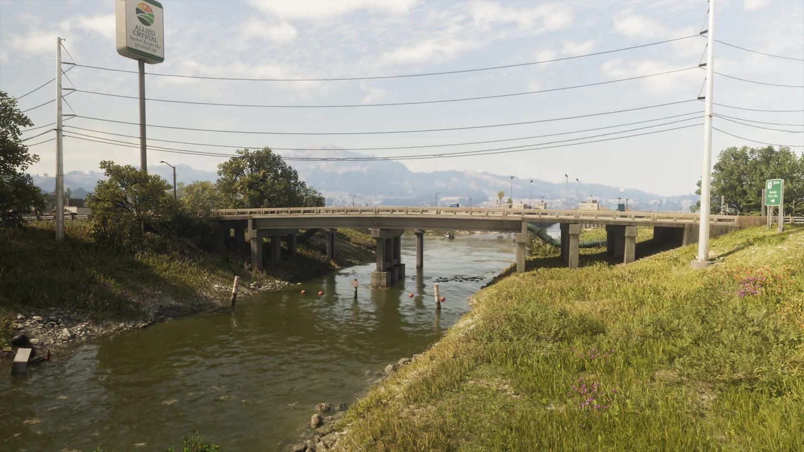
2. Allied Crystal Pipeline
Где: Under the bridge over the canal connecting eastern and western SR-27 in Ambrosia
-
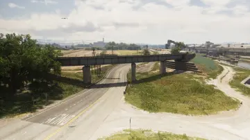
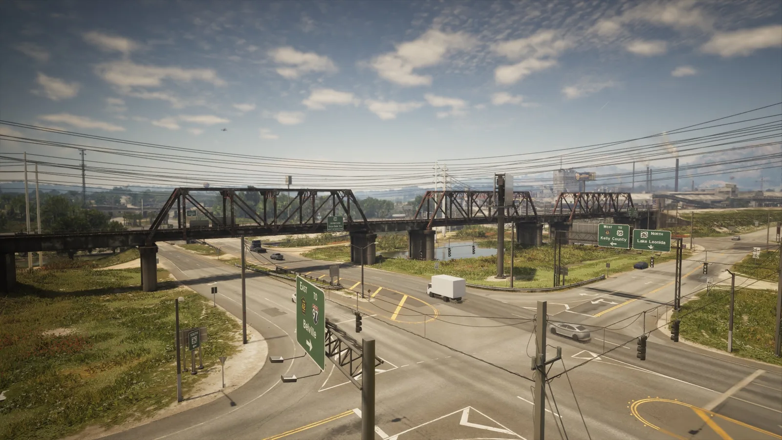
3. Ambrosia East Railroad North
Где: Under the bridge over SR-25 connecting the train tracks east adn west in Ambrosia
-
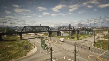
4. Ambrosia East Railroad South
Где: Under the bridge over CR 62 connecting the north and south train tracks in South Leonard County
-
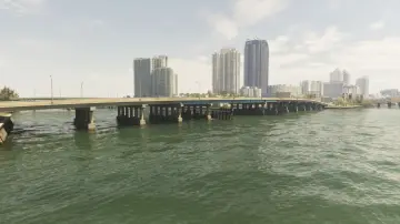
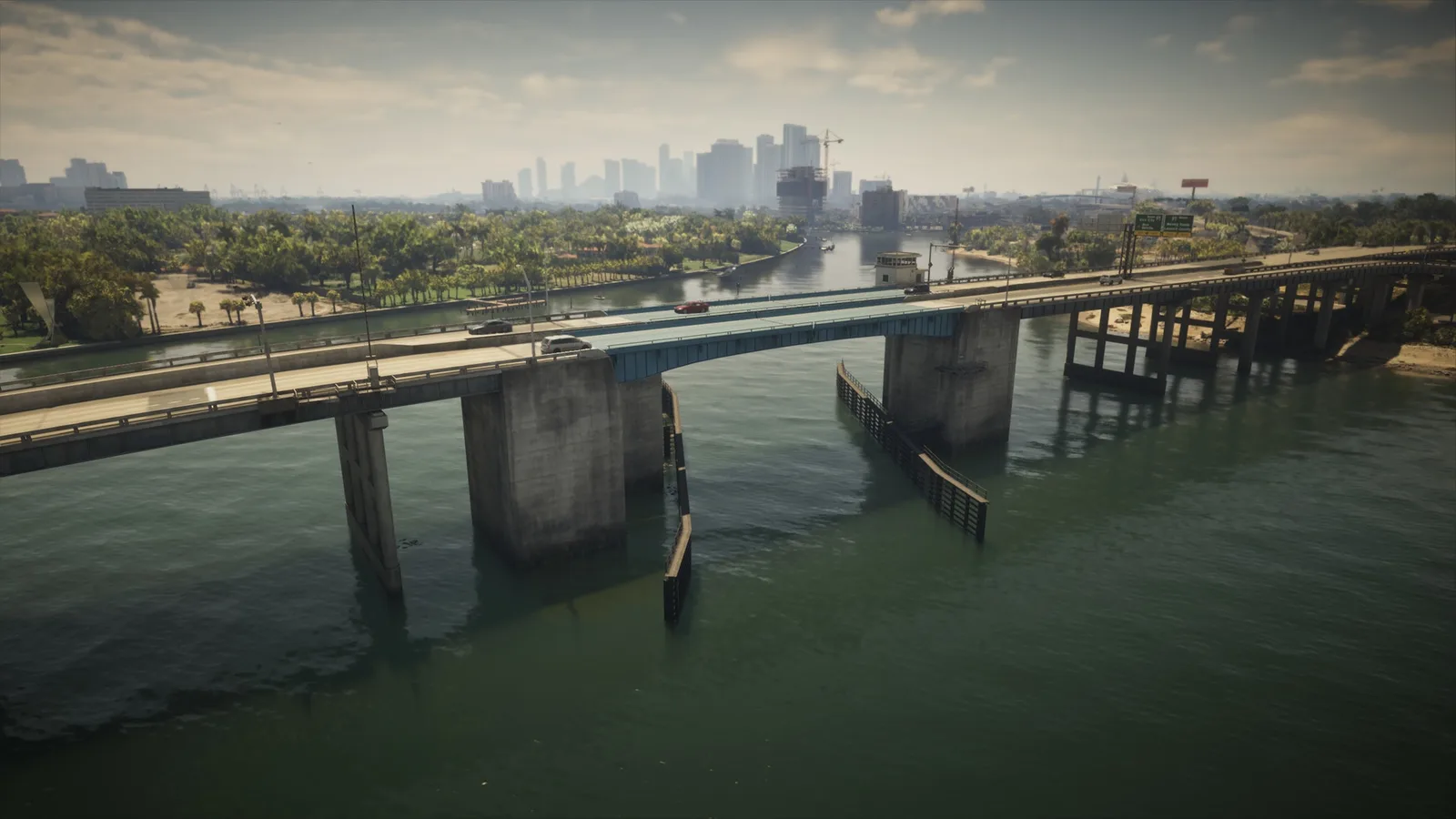
5. Atlantic Avenue
Где: Under the bridge over the river connecting Atlantic Island and Washington Beach
-
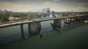
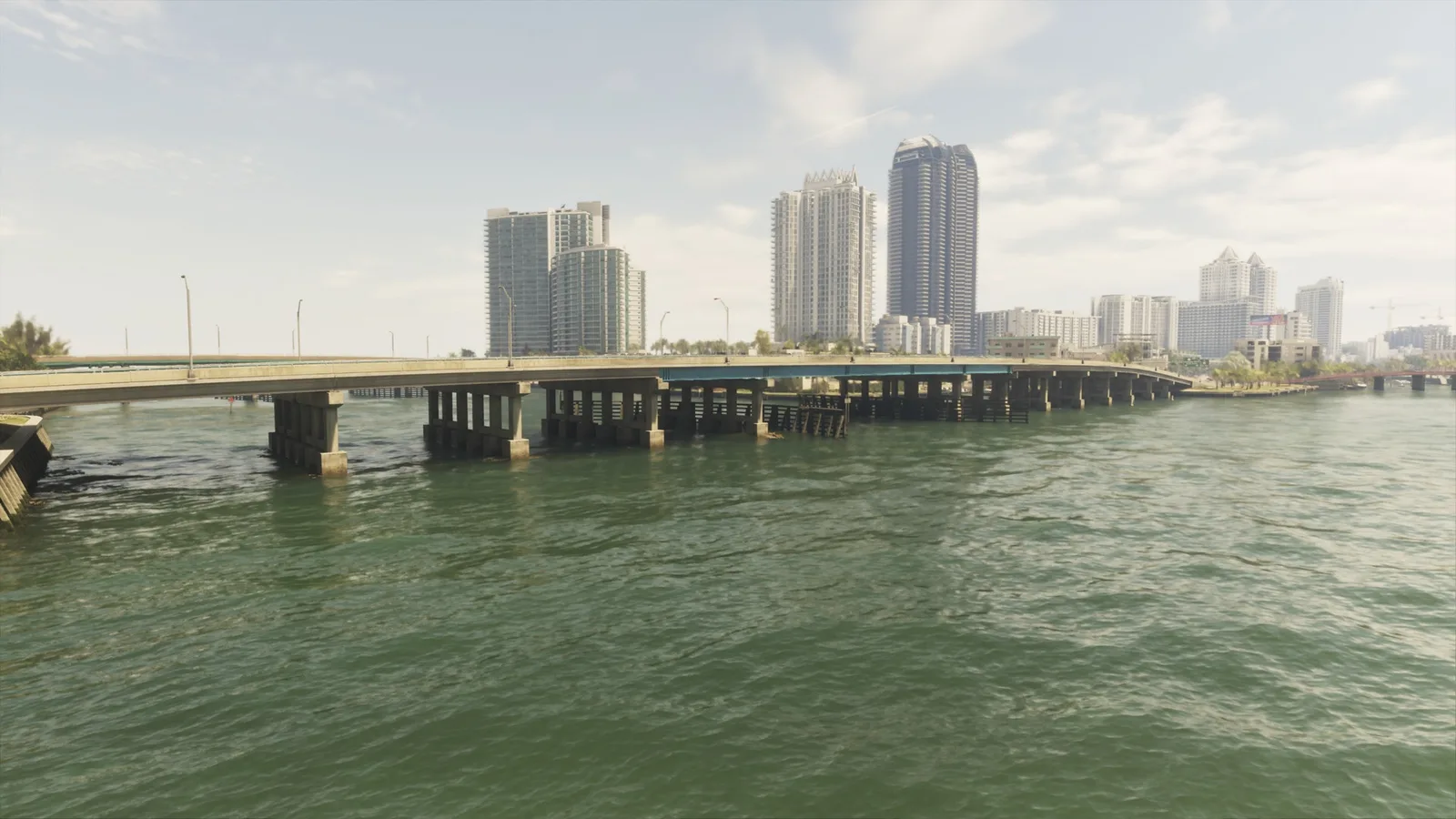
6. Atlantic Causeway
Где: Under the bridge over the river connecting Atlantic Island and Belville
-
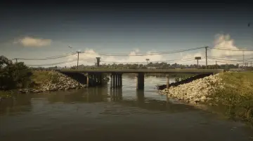
7. Atlee River
Где: Under the bridge over the Pelican River connecting Gullet Marsh and Hamlet
-
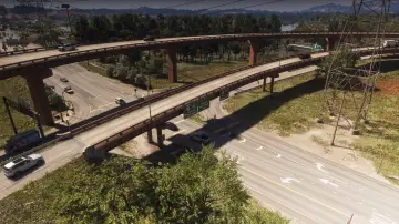
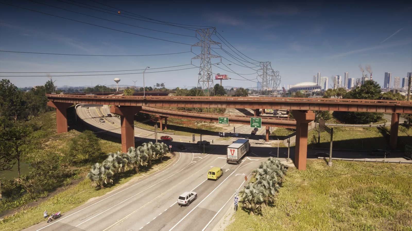
8. Balsero Overpass Central
Где: Under the bridge over Omega Pkwy connecting the ramp from US-10 to US-35 between Balsero and Buckskin Swamp
-
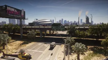
9. Balsero Overpass East
Где: Under the bridge over SR-25 connecting east and west US-10 between Balsero and South Leonard County
-
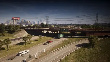
10. Balsero Overpass North
Где: Under the bridge over US-35 connecting US-10 to US-35 in Balsero
-
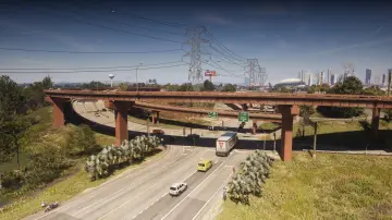
11. Balsero Overpass West
Где: Under the bridge over Omega Pkwy connecting the ramp from US-10 to US-35 between Balsero and Buckskin Swamp
-
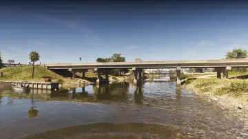
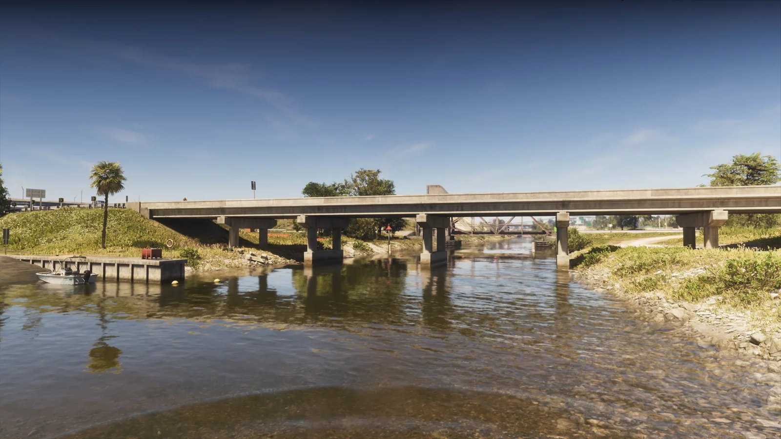
12. Belville Canal East
Где: Under the bridge over the canal connecting Belville and South Leonard County
-
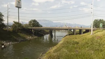
13. Belville Canal North
Где: Under the bridge over the canal connecting east and west SR-27 between Belville and Ambrosia
-
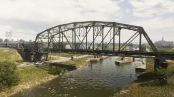
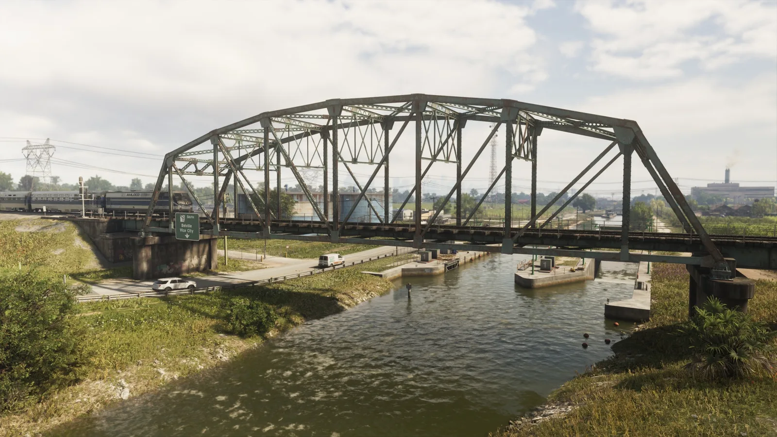
14. Belville Canal Railroad
Где: Under the bridge over the canal connecting the railroad between Belville and Ambrosia
-
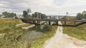
15. Belville Canal South
Где: Under the bridge over the canal connecting east and west US-70 between Belville, Ambrosia, and South Leonard County
-
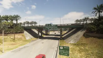
16. Belville East Overpass
Где: Under the bridge over CR 62 connecting north and south I-97 in Belville
-
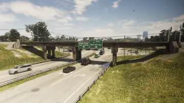
17. Belville East Railroad
Где: Under the bridge over CR 62 connecting the north and south train tracks in Belville
-
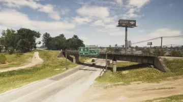
18. Belville North Railroad
Где: Under the bridge over US-70 connecting the north and south train tracks in Belville
-
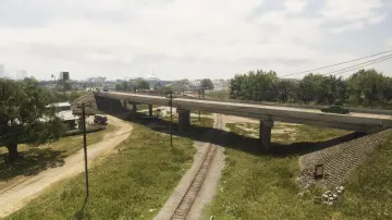
19. Belville Town Overpass
Где: Under the bridge over the train tracks connecting north and south SR-120 in Belville
-
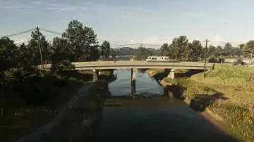
20. Bluegrass North
Где: Under the bridge over the canal connecting Bluegrass and North Mariana County
-
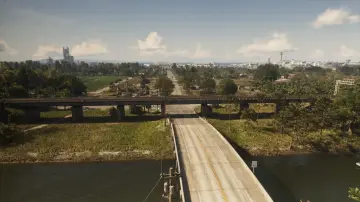
21. Bluegrass Railroad Bridge
Где: Under the bridge over the Farmers Walk connecting the east and west railroad on the north side of Bluegrass
-
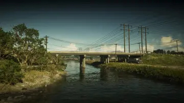
22. Bluegrass South
Где: Under the bridge over the Pelican River connecting North Mariana County and South Vice-Dale County
-
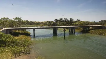
23. Bobcat Key Central
Где: Under the bridge over the water connecting north and south Loggerhead Rd in Bobcat Key
-
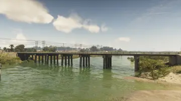
24. Bobcat Key North
Где: Under the bridge over Bobcat Bight connecting Bobcat Key and North Mariana County
-
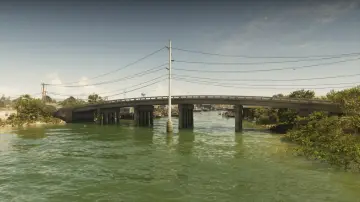
25. Bobcat Key South
Где: Under the bridge over Bobcat Bight connecting Bobcat Key and Watson Bay
-
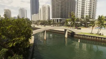
26. Bonita Court Footbridge
Где: Under the bridge over the river connecting Washington Island and Washington Beach
-
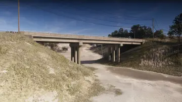
27. Breakwater Quarry
Где: Under the bridge over a dirt road connecting north and south Union Rd in Breakwater Quarry
-
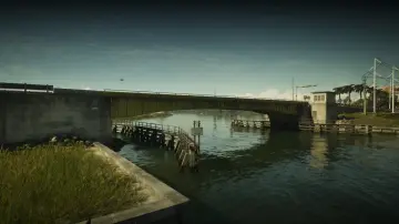
28. Bright Maw Pass
Где: Under the bridge over the Pelican River connecting Hamlet and South Vice-Dale County
-
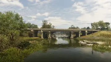
29. Buckskin Swamp Channels
Где: Under the bridge over the Emerald River connecting east and west Emerald Springs Dr between Emerald Springs and Buckskin Swamp
-
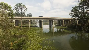
30. Buckskin Swamp Southeast
Где: Under the bridge over the river connecting north and south Cargo Rd in Buckskin Swamp
-
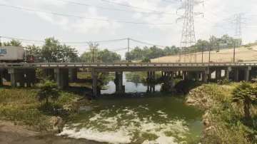
31. Buckskin Swamp Southwest
Где: Under the bridge over the river connecting east and west Omega Pkwy between South kelly County and Buckskin Swamp
-
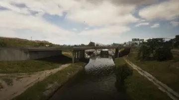
32. Caledonia Boulevard
Где: Under the bridge over the canal connecting north and south Caledonia Blvd between South Leonard County and Belville
-
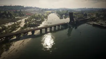
33. Capri Bay Railroad
Где: Under the bridge over the river connecting Capri and South Kelly County
-
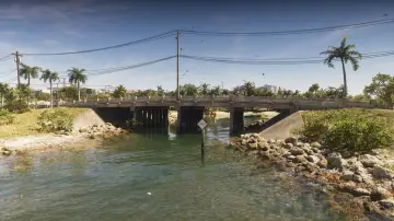
34. Capri Island
Где: Under the bridge over the water connecting east and west Vela Rota Dr in Capri
-
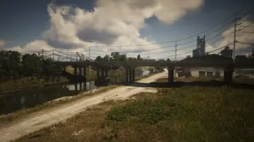
35. Caprice City Canal
Где: Under the bridge over the canal connecting Breakwater Quarry and West Vice-Dale County
-
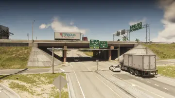
36. Cargo Road
Где: Under the bridge over Cargo Rd connecting east and west I-404 in West Vice-Dale County
-
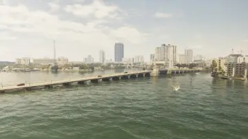
37. Casanova Island Bridge
Где: Under the bridge over the water connecting Casanova Island and Oldby Island
-
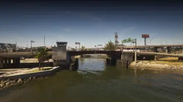
38. Catalan Boulevard
Где: Under the bridge over the canal connecting the Decor District and Belville
-
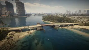
39. Catalan Key East
Где: Under the bridge over Catalan Bay connecting Catalan Key and Gloriana Key
-
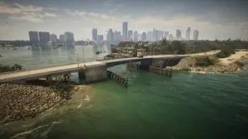
40. Catalan Key South
Где: Under the bridge over the ocean connecting Corsair key and Catalan Key
-
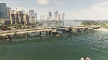
41. Catalan Key West
Где: Under the bridge over Catalan Bay connecting Catalan Key and Peacock Bay
-
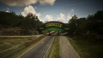
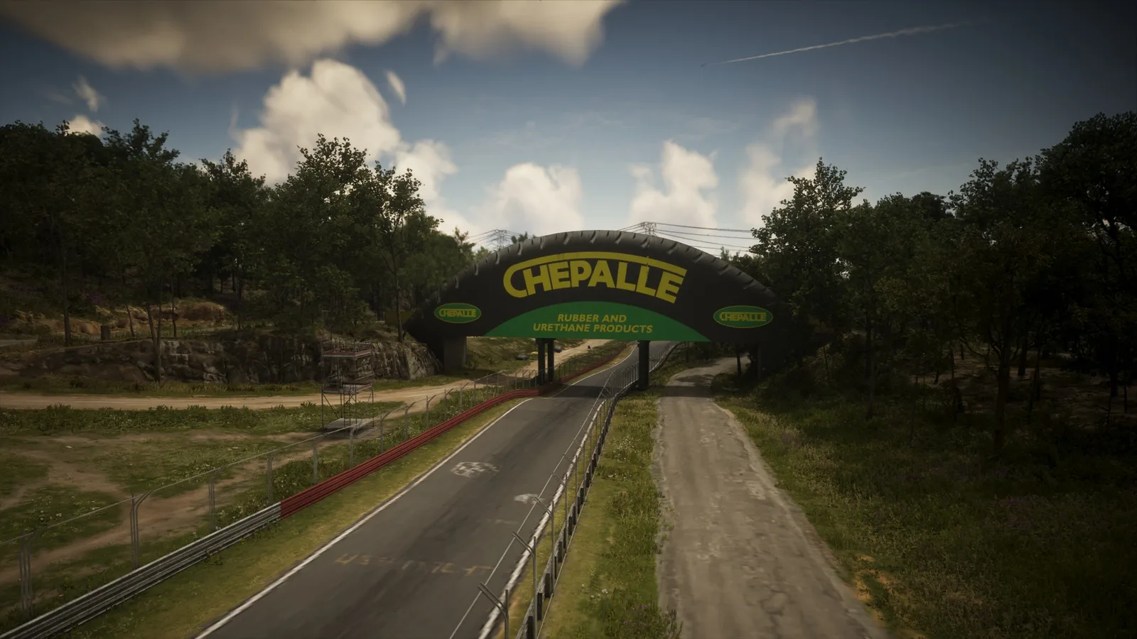
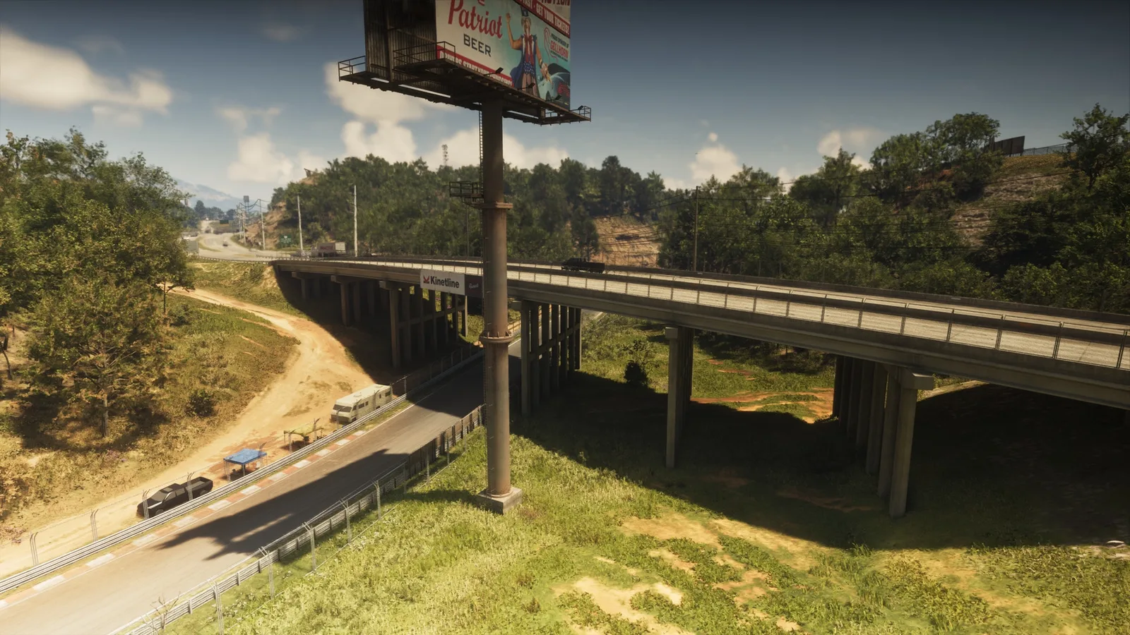
42. Chepalle Billboard
Где: Under the bridge over the raceway connecting Gellhorn and the raceway
-
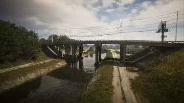
43. County Route 62
Где: Under the bridge over the canal connecting east and west CR 62 between South Leonard County and Belville
-
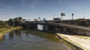
44. Del Rio Boulevard
Где: Under the bridge over the canal connecting La Perle and Belville
-
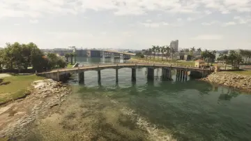
45. Delamore Bridge
Где: Under the bridge over the river connecting the Leaf Links and Atlantic Island
-
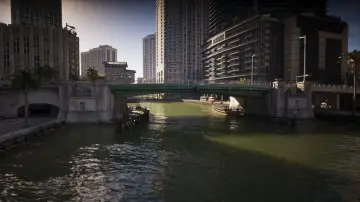
46. Downtown Southeast
Где: Under the bridge over the canal connecting Tequesta and Downtown
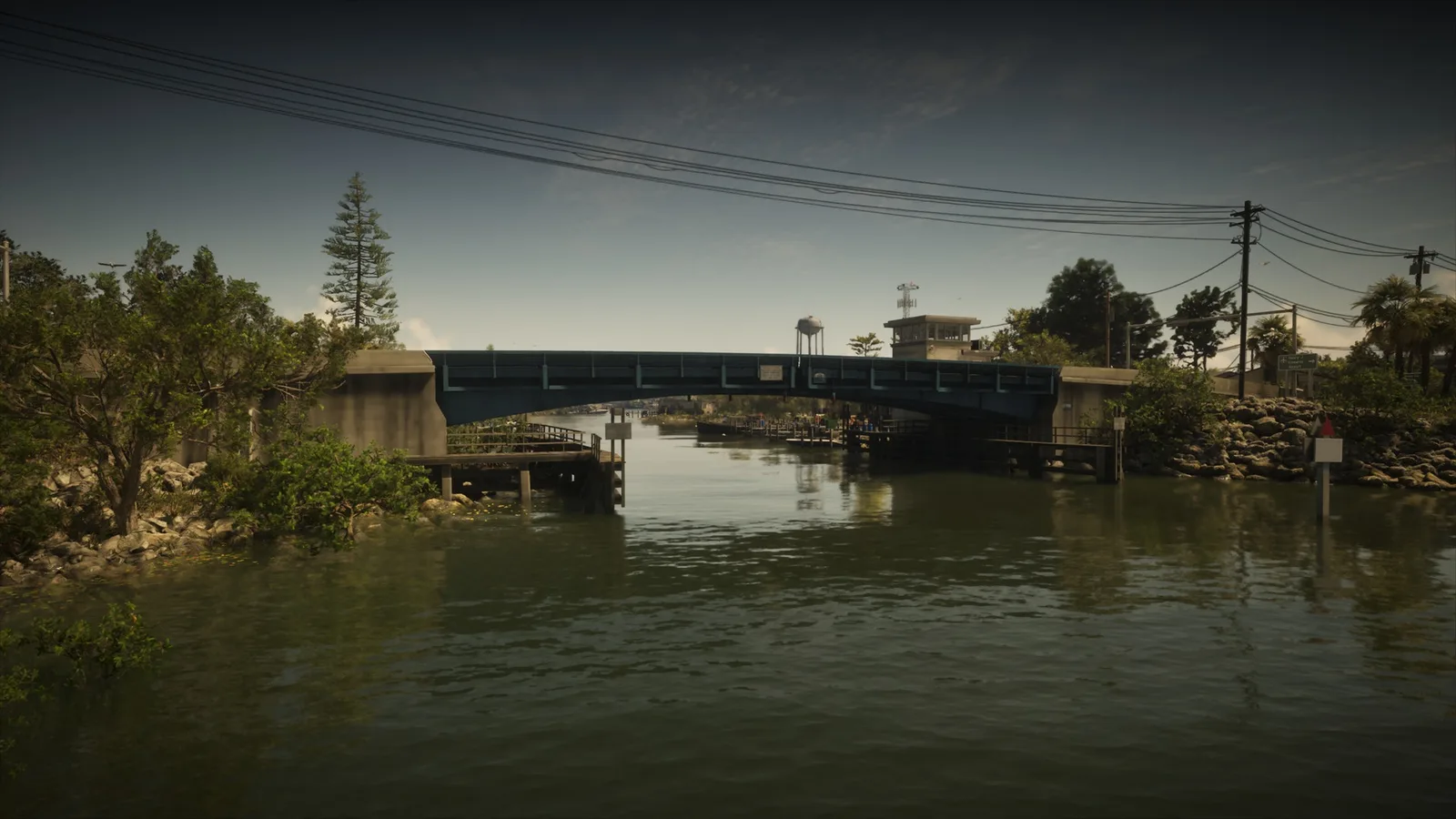
-
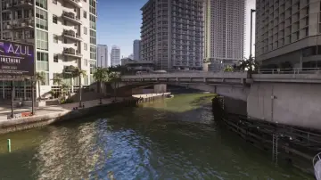
47. Downtown Southwest
Где: Under the bridge over the canal connecting Tequesta and Downtown
-
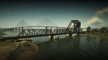
48. Draper Island Bridge
Где: Under the bridge over Draper Bay connecting the railroad between Draper Island and Port Gellhorn
-
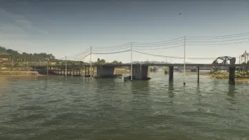
49. Draper Island East
Где: Under the bridge over Draper Bay connecting Draper Island and Manifest Canyon
-
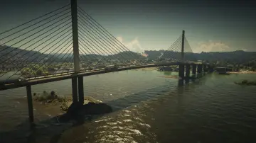
50. Draper Island South
Где: Under the bridge over Draper Bay connecting Draper Island and Port Gellhorn
-
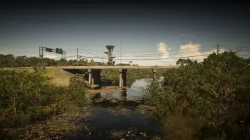
51. East Big Pine
Где: Under the bridge over the Pelican River connecting Watson Bay and Grassrivers
-
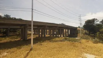
52. East Lummox County Overpass
Где: Under the bridge over Tidewater Dr connecting east and west US-628
-
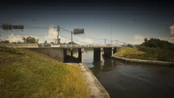
53. East Watson Bay
Где: Under the bridge over the Pelican River connecting Watson Bay and Gullet Marsh
-
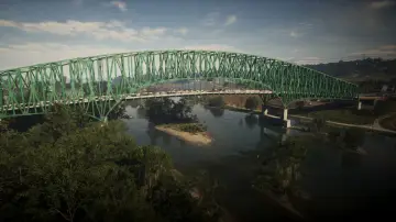
54. Emerald Bridge
Где: Under the bridge over the river connecting Capri and South Kelly County
-
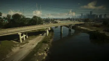
55. Emory Avenue
Где: Under the bridge over the Pelican River connecting Hamlet and South Vice-Dale County
-
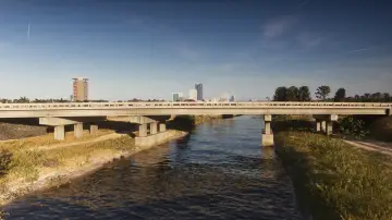
56. Evergreen Mall Bridge
Где: Under the bridge over the canal connecting Belville and Waning Sands
-
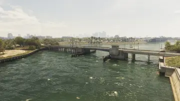
57. Flamingo Parkway North
Где: Under the bridge over the ocean connecting Flamingo Island and Vinewood Beach
-
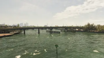
58. Flamingo Parkway South
Где: Under the bridge over the ocean connecting Flamingo Island and Washington Beach
-
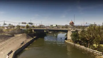
59. Fleeca Field Stadium
Где: Under the bridge over the canal connecting Balsero and Rockridge near the stadium
-
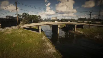
60. Fuzzard Drain Canal
Где: Under the bridge over the canal connecting north and south Bluegrass
-
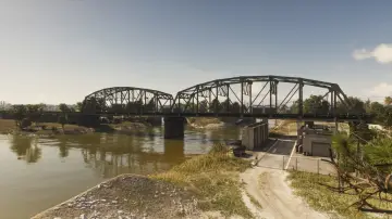
61. Fuzzard Drain Canal Railroad East
Где: Under the bridge over the canal connecting the railroad from Bluegrass to VCIA
-
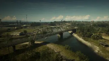
62. Fuzzard Drain Canal Railroad West
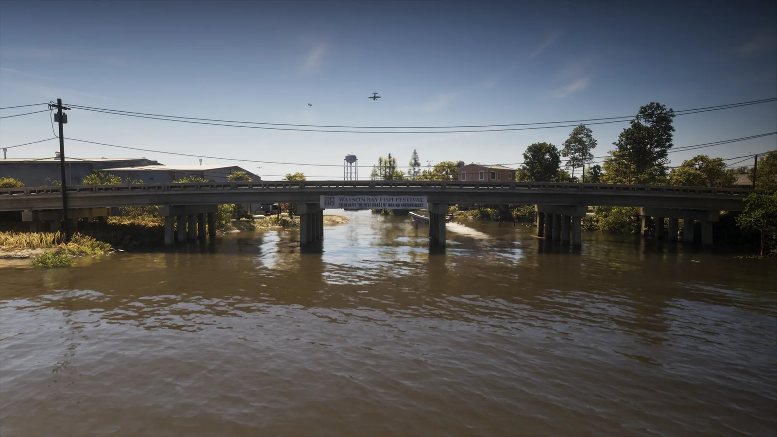
Где: Under the bridge over the canal connecting the railroad between Bluegrass and North Mariana County
-
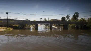
63. Gavin's Creek East
Где: Under the bridge over Gavin's Creek connecting north and south Buckeye Rd in Watson Bay
-
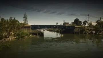
64. Gavin's Creek West
Где: Under the bridge over Gavin's Creek connecting north and south Watson Bay
-
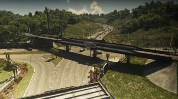
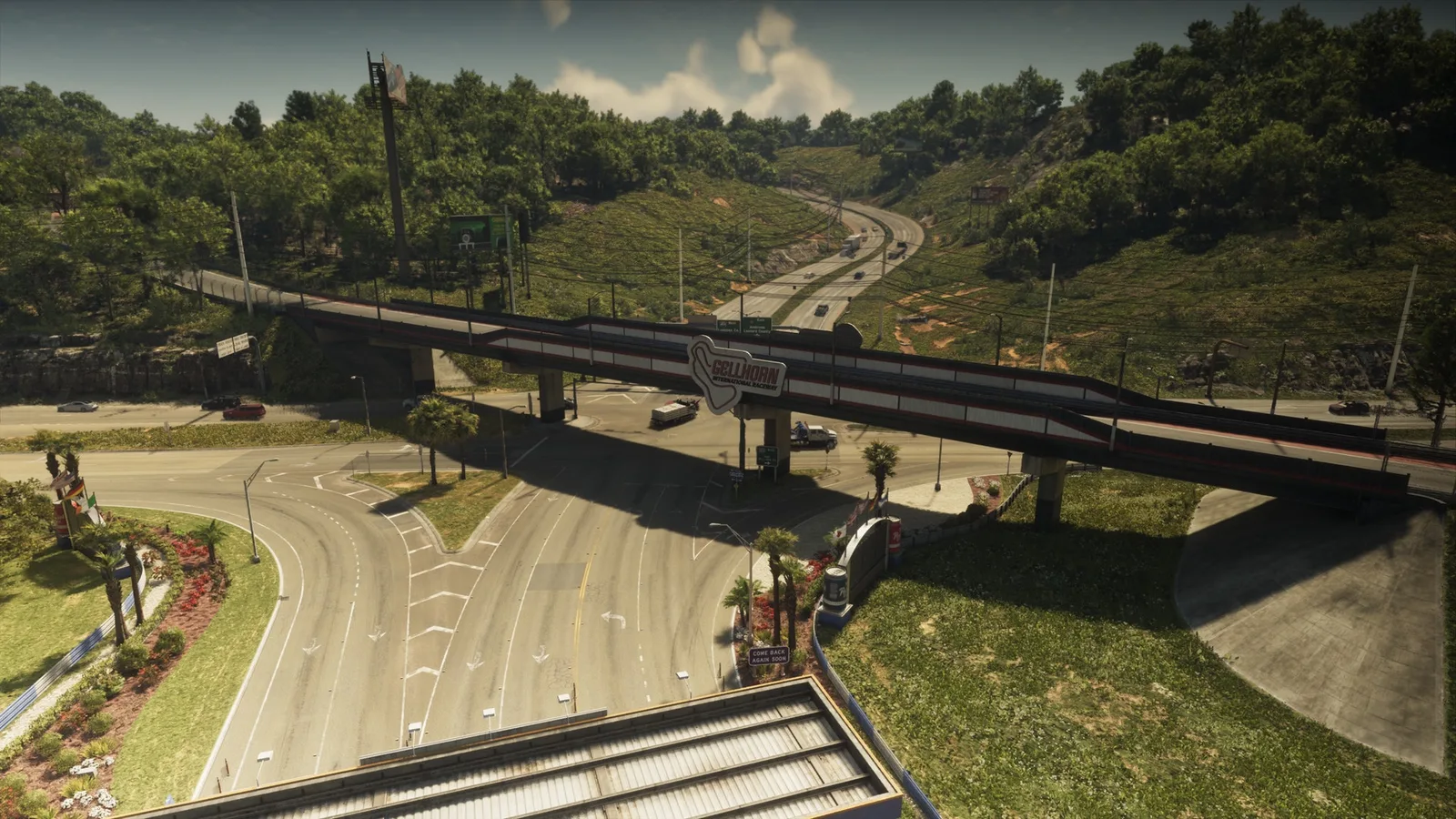
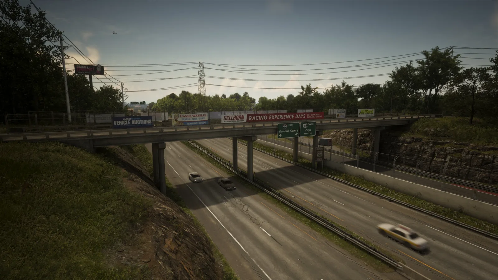
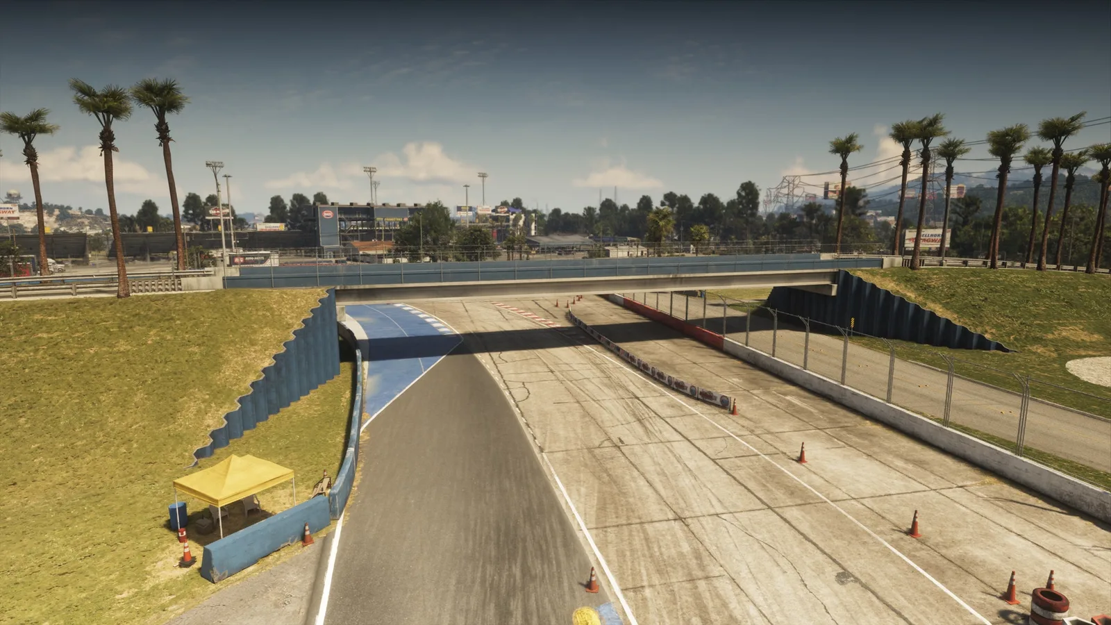
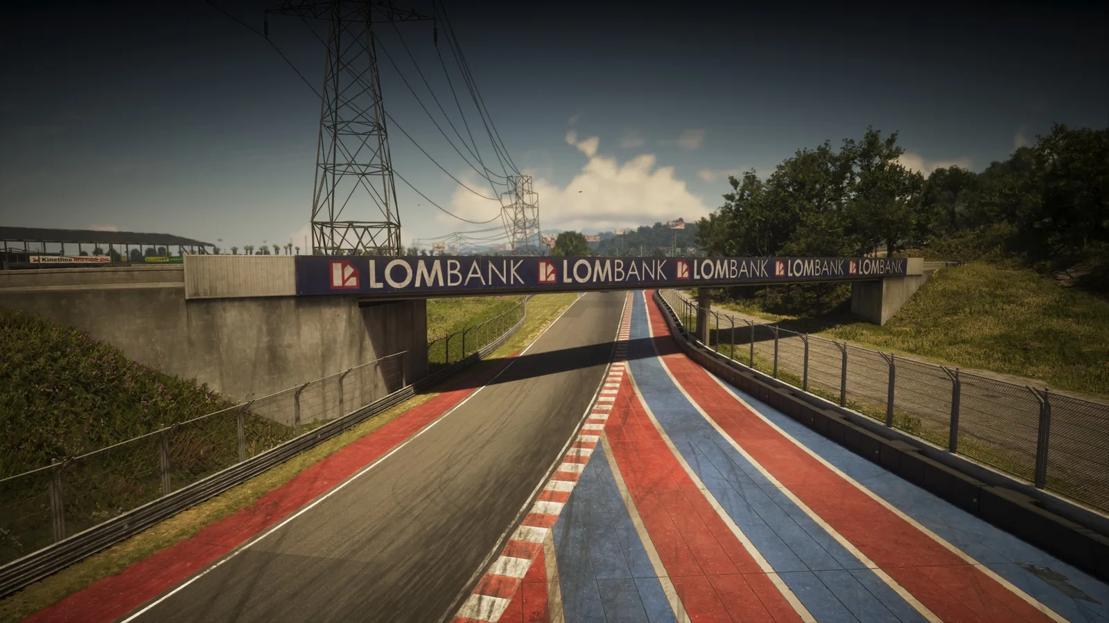
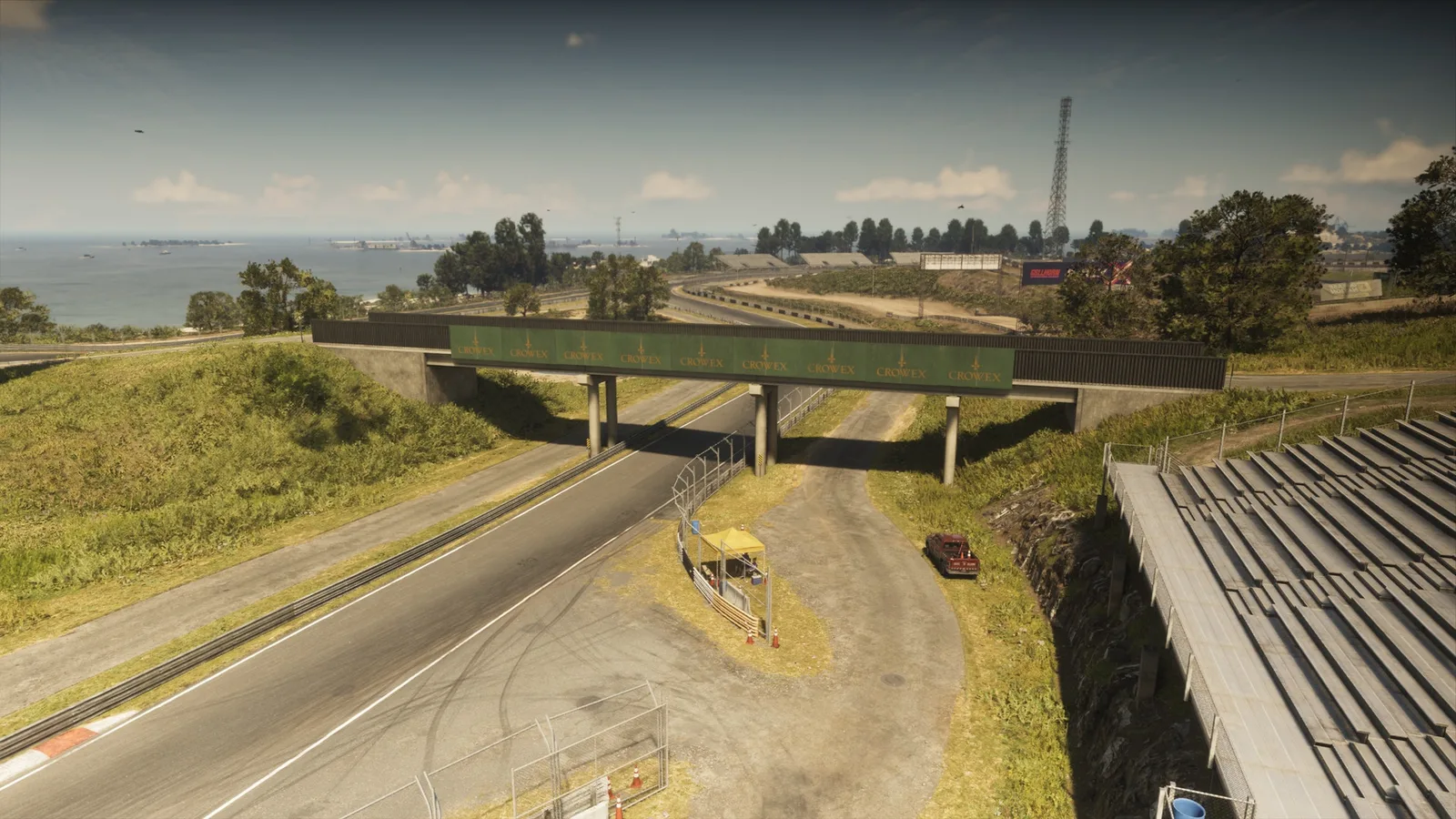
65. Gellhorn International Raceway
Где: Under the bridge over the entrance to the Gellhorn International Raceway connecting two parts of the racetrack
-
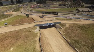
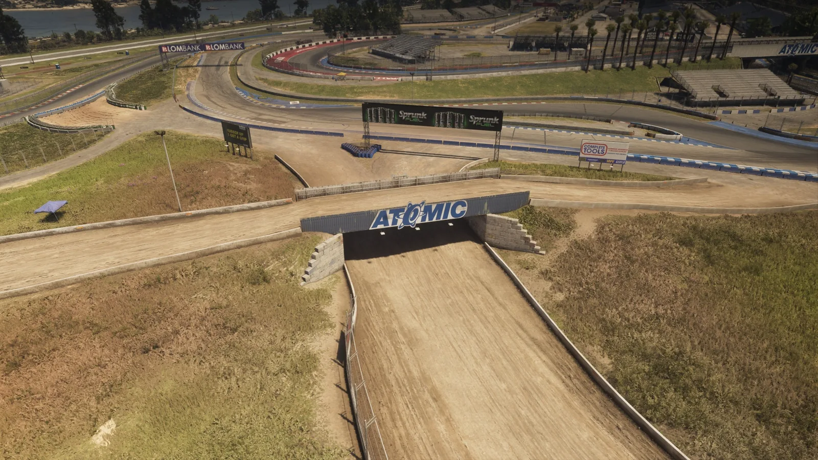
66. Gellhorn Rally X
Где: Under the bridge over the dirt race track connecting two parts of the rally track together
-
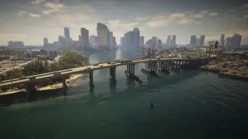
67. Gloriana Key North
Где: Under the bridge over Catalan Bay connecting Port Vice City and Gloriana Key
-
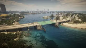
68. Gloriana Key West
Где: Under the bridge over the ocean connecting Gloriana Key and Catalan Key
-
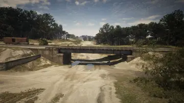
69. Goliath Global Quarry
Где: Under the bridge over the quarry connecting train tracks in Breakwater Quarry
-
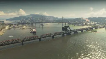
70. Gowing Railroad Bridge
Где: Under the bridge over Draper Bay connecting the railroad between Draper Island and Port Gellhorn
-
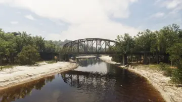
71. Graffiti Bridge
Где: Under the bridge over the Kelly River connecting Gellhorn and Frogswater
-
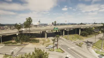
72. Hamlet Overpass
Где: Under the bridge over Palmetto Ave connecting north and south Hamlet
-
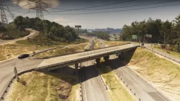
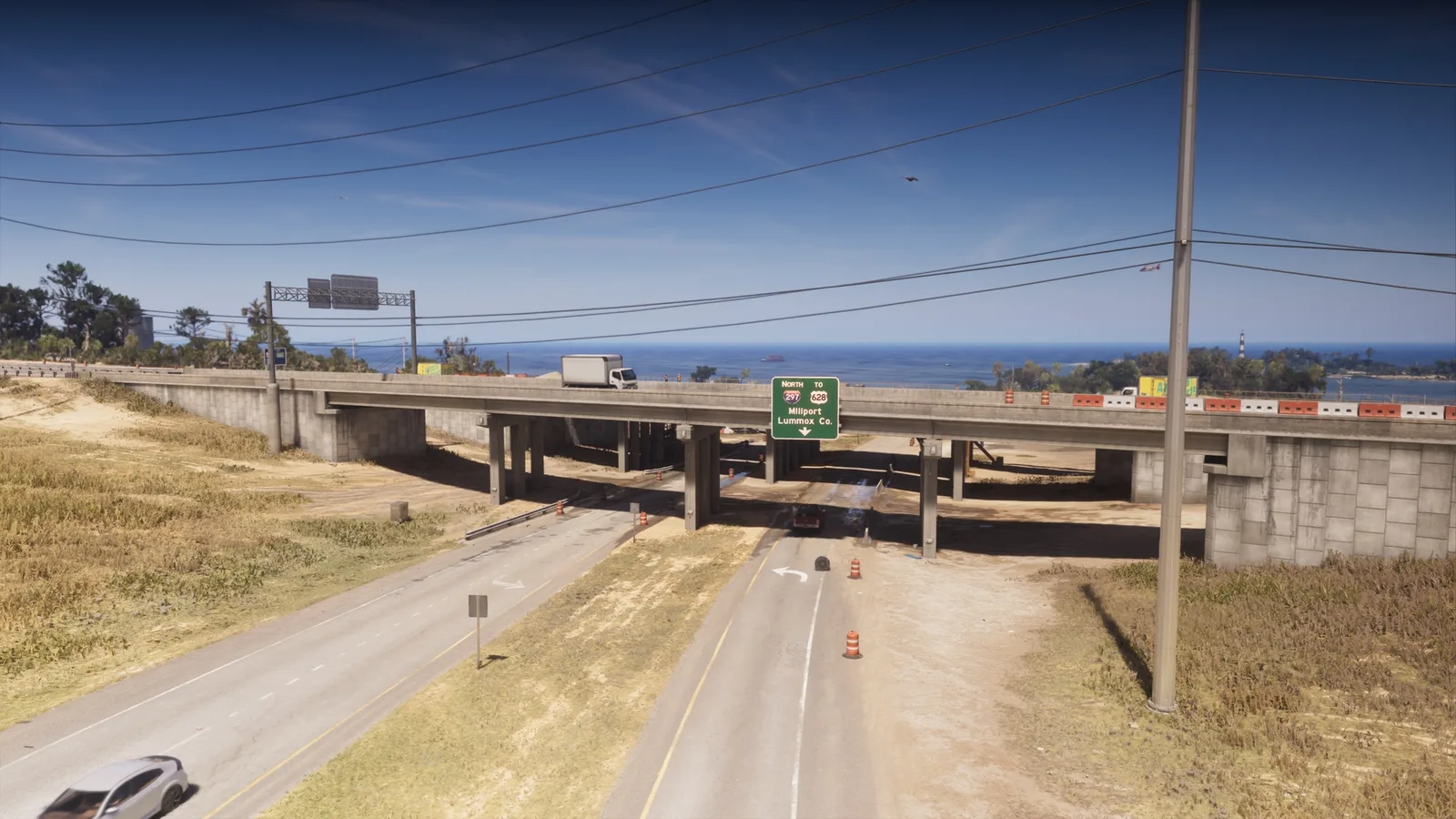
73. Interstate 297 Overpass
Где: Under the bridge over US-628 connecting north and south Tidewater Dr
-
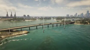
74. Isla Maldia
Где: Under the bridge over Peregrine Bay connecting north and south Corsair Key
-
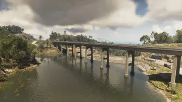
75. Kalaga Reservoir
Где: Under the bridge over the Kalaga Reservoir connecting west and east Forest mill Rd
-
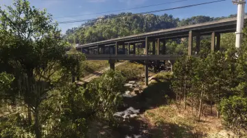
76. Kalaga River
Где: Under the bridge over the Kalaga River connecting north and south Tallaloko Lake Rd between North Kelly County and North Leonard County
-
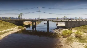
77. Kalaga River Mouth
Где: Under the bridge over the Kalaga River connecting east and west SR-27 between North Kelly County and North Leonard County
-
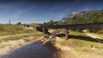
78. Kalaga River Railroad
Где: Under the bridge over the Kalaga River connecting the railroad between North Kelly County and North Leonard County
-
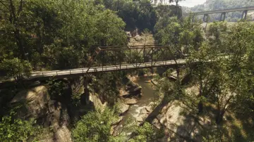
79. Kalaga River South
Где: Under the bridge over the Kalaga River connecting a hilly road in East Lummox County
-
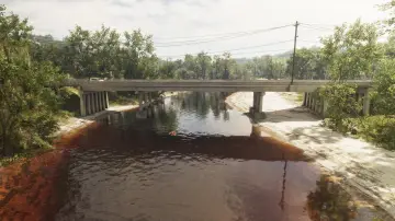
80. Kelly River North
Где: Under the bridge over the Kelly River connecting east and west SR-32 between Gellhorn and Frogswater
-
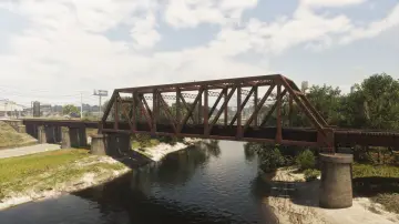
81. Kelly River Railroad East
Где: Under the bridge over the Kelly River connecting the railroad between Ambrosia and Emerald Springs
-
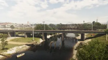
82. Kelly River Railroad West
Где: Under the bridge over the Kelly River connecting the railroad between Ambrosia and Emerald Springs
-
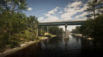
83. Kelly River South
Где: Under the bridge over the Kelly River connecting north and south SR-32 between Frogswater and Emerald Springs
-
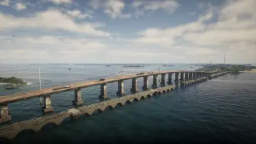
84. Keylime Causeway
Где: Under the bridge over the ocean connecting Abismo Key and Key Lento
-
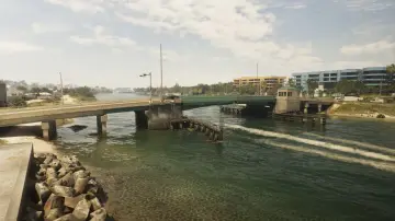
85. Leith River Central
Где: Under the bridge over the Leith River connecting Vinewood Beach and Waning Sands
-
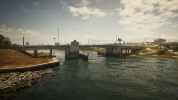
86. Leith River North
Где: Under the bridge over the Leith River connecting Vinewood Beach and Waning Sands
-
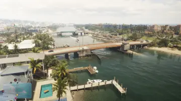
87. Leith River South
Где: Under the bridge over the Leith River connecting Vinewood Beach and Waning Sands
-
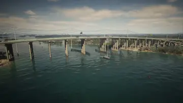
88. Lento Causeway
Где: Under the bridge over Gambit Bay connecting Key Lento and Hamlet
-
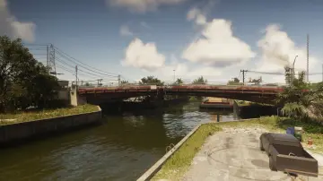
89. Leonida Auto World
Где: Under the bridge over the river connecting north and south SR-25 in Balsero
-
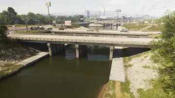
90. Leonida Canal
Где: Under the bridge over the canal connecting east and west CR 62 between South Leonard County and Emerald Springs
-
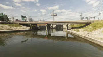
91. Leonida Canal North
Где: Under the bridge over the canal connecting US-70 in Ambrosia
-
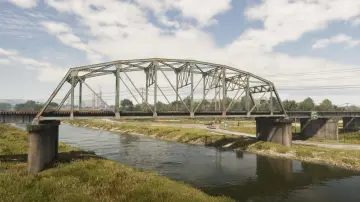
92. Leonida Canal Railroad
Где: Under the bridge over the canal connecting the east and west railroad between Balsero and Emerald Springs
-
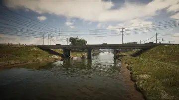
93. Leonida Canal South
Где: Under the bridge over the canal connecting South Leonard County and Emerald Springs
-
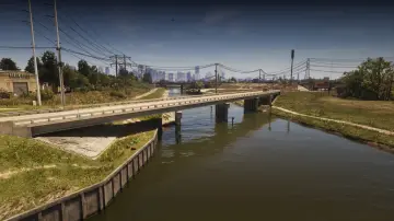
94. Leonida Canal Southeast
Где: Under the bridge over the canal connecting north and south SR-25 in Balsero
-
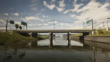
95. Leonida Canal Southwest
Где: Under the bridge over the canal connecting east and west Cargo Rd between Balsero and Emerald Springs
-
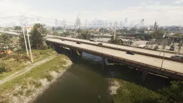
96. Leonida Power and Light
Где: Under the bridge over the canal connecting east and west US-10 in Balsero
-
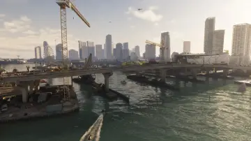
97. Macalister Causeway
Где: Under the bridge over the water connecting Waxman Island and Downtown
-
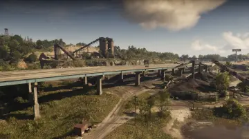
98. Macalister Gold Mine
Где: Under the bridge over the Macalister Gold Mine connecting east and west US-628
-
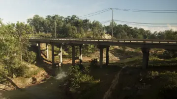
99. Macalister River Central
Где: Under the bridge over the Macalister River connecting east and west Sassafrass Rd between Mount Kalaga National Park and East Lummox County
-
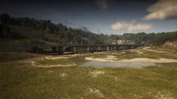
100. Macalister River North
Где: Under the bridge over the Macalister River connecting east and west US-628
-
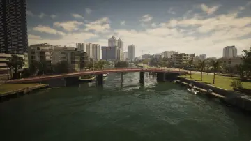
101. Mariposa Avenue
Где: Under the bridge over the river connecting Washington Island and Washington Beach
-
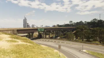
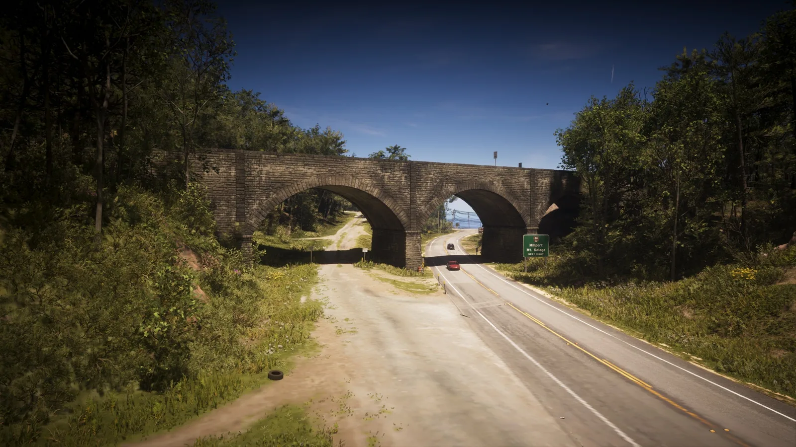
102. Millport Overpass
Где: Under the bridge over the Tallaloko River connecting north and south Millport
-
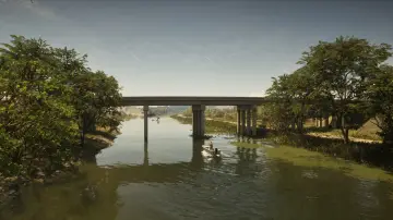
103. Muspachee River East
Где: Under the bridge over the Muspachee River connecting Buckskin Swamp and West Vice-Dale County
-
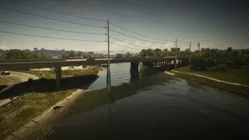
104. Muspachee River West
Где: Under the bridge over the Muspachee River connecting West Vice-Dale County and South Kelly County
-
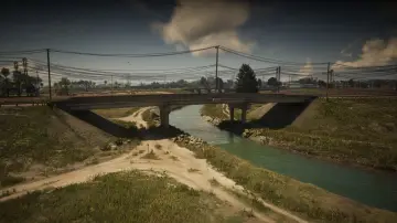
105. Nehrling River East
Где: Under the bridge over the Nehrling River connecting north and south Pigeon Plum Rd between Capri and North Mariana County
-
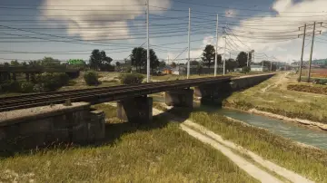
106. Nehrling River Railroad
Где: Under the bridge over the Nehrling River connecting the north and south railroad between Capri and North Mariana County
-
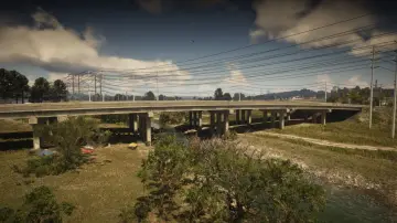
107. Nehrling River West
Где: Under the bridge over the Nehrling River connecting north and south US-82 between Capri and North Mariana County
-
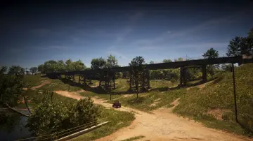
108. North Frogswater Railroad
Где: Under the bridge over the mountains connecting the railroad heading north and south in Frogswater
-
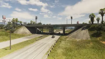
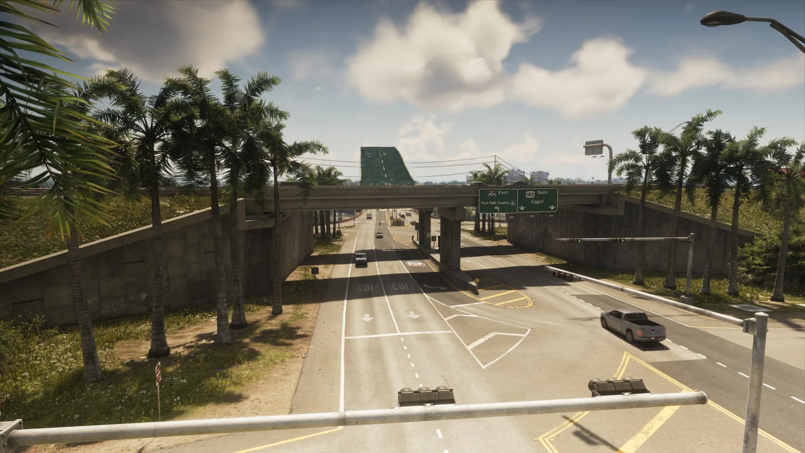
109. North Gellhorn Overpass
Где: Under the bridge over CR 62 connecting north and south US-183 in Port Gellhorn
-
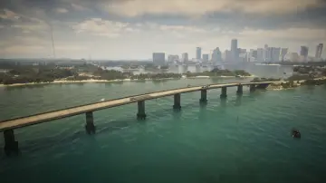
110. North Isla Maldia
Где: Under the bridge over the ocean connecting north and south Corsair Key
-
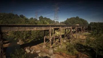
111. North Kalaga Bridge
Где: Under the bridge over a side road connecting the train tracks from north to south in Mount Kalaga National Park
-
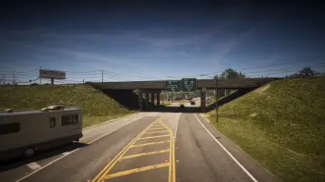
112. North Kelly County Overpass East
Где: Under the bridge over SR-27 connecting north and south US-35 in North Kelly County
-
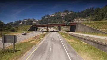
113. North Kelly County Overpass West
Где: Under the bridge over I-297 connecting Moonstone Hwy to I-297 in North Kelly County
-
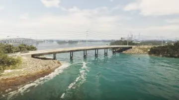
114. North Key Lento
Где: Under the bridge over Gambit Bay connecting Key Lento and Corsair Key
-
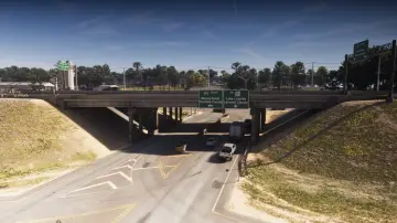
115. North Leonard County Overpass
Где: Under the bridge over US-628 connecting east and west I-297 between North Leonard County and Waning Sands
-
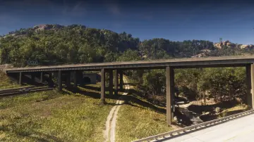
116. North Leonard County Overpass North
Где: Under the bridge over the road connecting east and west I-297 between North Kelly County and North Leonard County
-
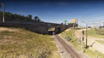
117. North Leonard County Railway
Где: Under the bridge over the train tracks connecting east and west I-297 in North Leonard County
-
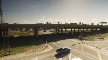
118. North Mariana County Overpass
Где: Under the bridge over Seabell Ave connecting east and west US-82 between Grassrivers and North Mariana County
-
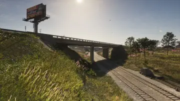
119. North Mariana County Railroad Southeast
Где: Under the bridge over the railroad connecting east and west SW 3rd Ave in North Mariana County
-
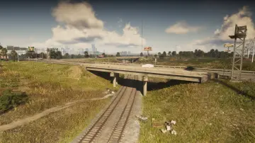
120. North Mariana County Railroad Southwest
Где: Under the bridge over the railroad connecting north and south Seabell Ave in North Mariana County
-
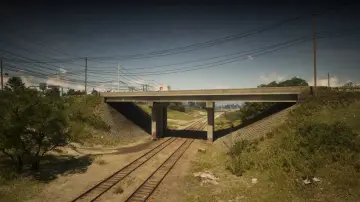
121. North Mariana County Railroad West
Где: Under the bridge over the railroad connecting north and south Union Rd in North Mariana County
-
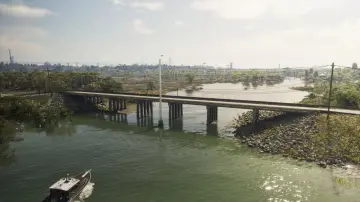
122. North Watson Bay
Где: Under the bridge over the river connecting Watson Bay and the Grasslands
-
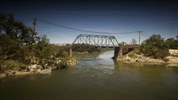
123. Old Fort Road Bridge
Где: Under the bridge over the river connecting east and west Longneck Trl between Shoeless Keys and Pelican Valley
-
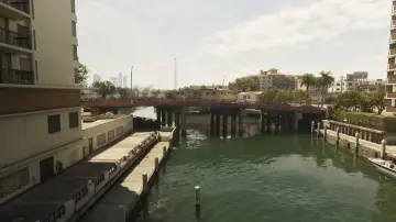
124. Oleander Boulevard
Где: Under the bridge over the river connecting Washington Island and Oldby Island
-
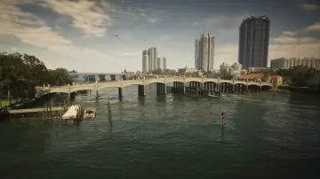
125. Oleander Bridge
Где: Under the bridge over the river connecting Washington Island and the Leaf Links
-
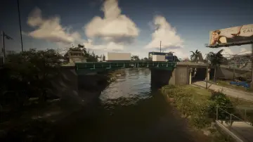
126. Omega Parkway
Где: Under the bridge over the river connecting east and west Omega Pkwy in Balsero
-
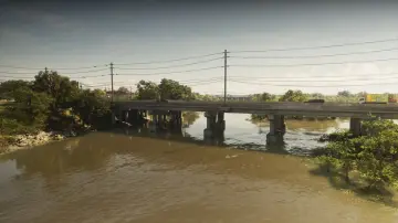
127. Pelican River
Где: Under the bridge over the Pelican River connecting Hamlet and Grassrivers
-
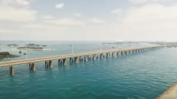
128. Permit Causeway
Где: Under the bridge over the ocean connecting Mile Zero Air Station and Abismo Key
-
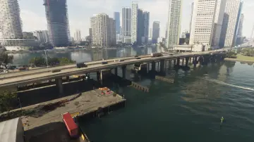
129. Port VC Bridge
Где: Under the bridge over Catalan Bay connecting Port Vice City and Downtown
-
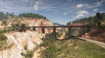
130. Providence Canyon Railroad
Где: Under the bridge over the mountains connecting the train tracks north and south in Manifest Canyon
-
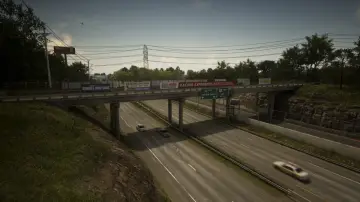
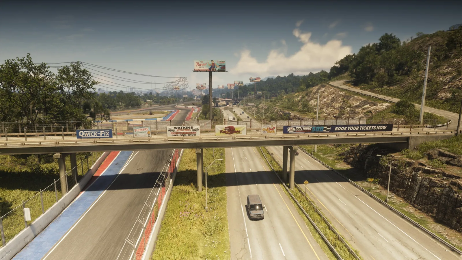
131. Raceway Overpass Central
Где: Under the bridge over I-404 connecting Gellhorn and the raceway
-
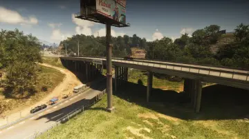
132. Raceway Overpass East
Где: Under the bridge over the raceway connecting north and south CR 62 in Gellhorn
-
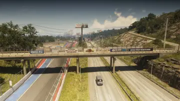
133. Raceway Overpass North
Где: Under the bridge over the I-404 connecting the east and west part of a service road in Gellhorn
-
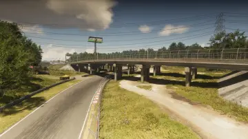
134. Raceway Overpass South
Где: Under the bridge over the racetrack connecting north and south I-404 in Gellhorn
-
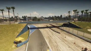
135. Raceway Paddock Bridge
Где: Under the bridge over the racetrack connecting entrance to the raceway with the buildings in the center of the track
-
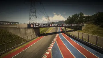
136. Raceway Parking
Где: Under the bridge over the racetrack connecting Gellhorn to the raceway parking lot
-
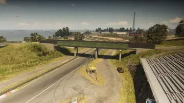
137. Raceway Stands
Где: Under the bridge over the racetrack connecting two parts of the stands for spectators
-
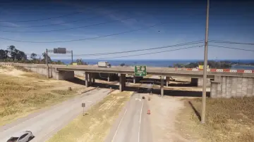
138. Richard Barebone Overpass East
Где: Under the bridge over Pitcher Rd connecting north and south I-97
-
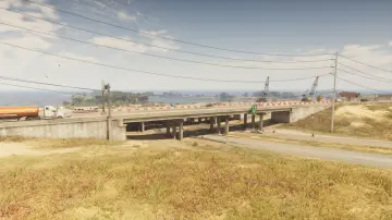
139. Richard Barebone Overpass West
Где: Under the bridge over Pitcher Rd connecting north and south I-97
-
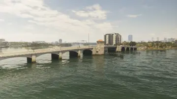
140. Rivo Bridge
Где: Under the bridge over the water connecting Catalan Island and Bayside
-
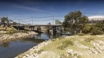
141. RON Gas - Balsero
Где: Under the bridge over the canal connecting north and south SR-25 in Balsero
-
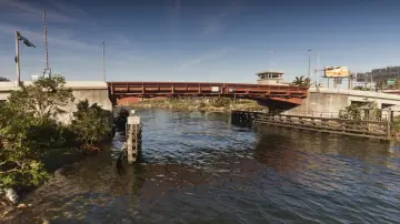
142. S-17 Canal Drawbridge Central
Где: Under the bridge over the canal connecting South Leonard County and La Perle
-
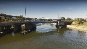
143. S-17 Canal Drawbridge North
Где: Under the bridge over the canal connecting Belville and La Perle
-
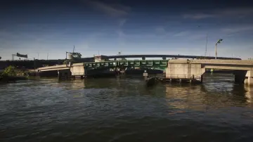
144. S-17 Canal Drawbridge South
Где: Under the bridge over the canal connecting Balsero and La Perle
-
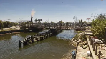
145. S-17 Canal Swing Bridge
Где: Under the bridge over the canal connecting north and south NW 27th St in Balsero
-
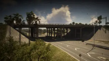
146. Salton Overpass
Где: Under the bridge over US-35 connecting east and west I-404 in Salton
-
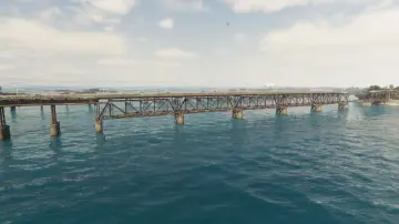
147. Saltrock Bridge
Где: Under the bridge over the ocean connecting Mile Zero Air Station and Abismo Key
-
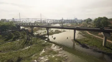
148. Saputka River
Где: Under the bridge over the Saputka River connecting north and south Moonstone Hwy between Port Gellhorn and Manifest Canyon
-
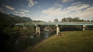
149. Saputka River East
Где: Under the bridge over the Saputka River connecting north and south US-70 between Port Gellhorn and Manifest Canyon
-
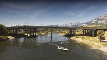
150. Saputka River Mouth
Где: Under the bridge over the Saputka River connecting north and south US-35 between North Kelly County and Ambrosia
-
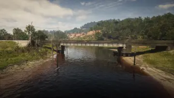
151. Saputka River Railroad
Где: Under the bridge over the Saputka River connecting the east and west of the railroad between Frogswater and Gellhorn
-
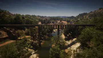
152. Saputka River Railroad East
Где: Under the bridge over the Saputka River connecting the railroad heading north and south between North Kelly County and Frogswater
-
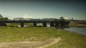
153. Saputka River Railroad North
Где: Under the bridge over the Saputka River connecting the railroad between Manifest Canyon and Port Gellhorn
-
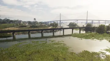
154. Saputka River Railroad West
Где: Under the bridge over the Saputka River connecting the railroad between Port Gellhorn and Draper Island
-
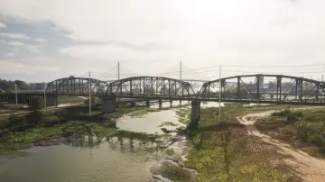
155. Saputka River West
Где: Under the bridge over the Saputka River connecting north and south SR-45 between Port Gellhorn and Manifest Canyon
-
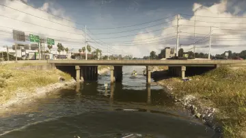
156. Seabell Avenue
Где: Under the bridge over the canal connecting Breakwater Quarry and VCIA
-
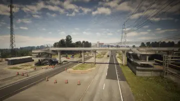
157. SND Station Footbridge
Где: Under the bridge over US-82 connecting the two sides of the road for pedestrians betweeen Grassrivers and North Mariana County
-
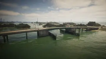
158. South Isla Maldia
Где: Under the bridge over Peregrine Bay connecting Corsair Key and Shoeless Keys
-
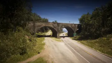
159. South Kalaga Overpass
Где: Under the bridge over Tallaloko Lake Rd connecting east and west Forest Mill Rd in Mount Kalaga National Park
-
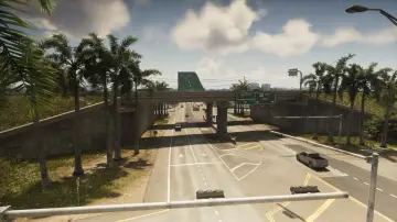
160. South Kelly County Overpass
Где: Under the bridge over I-404 connecting north and south US-183 in South Kellly County
-
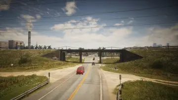
161. South Leonard County Railroad North
Где: Under the bridge over a road connecting the north and south train tracks in South Leonard County
-
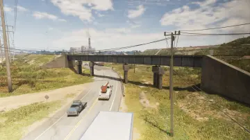
162. South Leonard County Railroad South
Где: Under the bridge over SR-25 connecting the north and south train tracks in South Leonard County
-
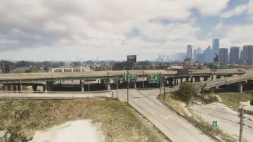
163. South Vice-Dale County Overpass
Где: Under the bridge over Calderone Ave connecting east and west US-82 in Hamlet
-
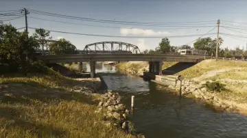
164. Southside West
Где: Under the bridge over the canal connecting Bluegrass and Southside
-
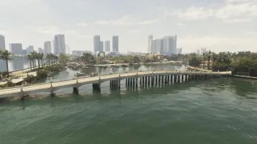
165. Starfish Island
Где: Under the bridge over the water connecting Waxman Island and Starfish Island
-
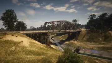
166. Tallaloko River
Где: Under the bridge over the Tallaloko River connecting north and south Bear Hollow Dr
-
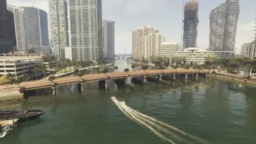
167. Tequesta Bridge
Где: Under the bridge over Catalan Bay connecting Tequesta and Tequesta Retreat
-
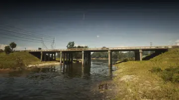
168. Terrapin Road
Где: Under the bridge over the river connecting North Mariana County and West Vice-Dale County
-
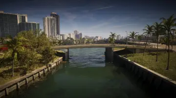
169. Tidal Avenue
Где: Under the bridge over the water connecting Atlantic Island and Flamingo Island
-
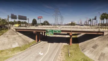
170. Tish-Wocka Flea Market West
Где: Under the bridge over Omega Pkwy connecting north and south US-35 in Balsero
-
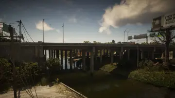
171. Tisha-Wocka Flea Market Bridge
Где: Under the bridge over the river connecting north and south US-35 in Balsero
-
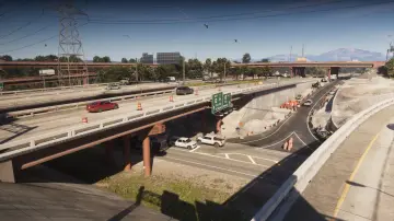
172. Tisha-Wocka Flea Market Central
Где: Under the bridge over the Omega Pkwy connecting north and south US-35 in Balsero
-
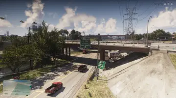
173. Tisha-Wocka Flea Market East
Где: Under the bridge over the Omega Pkwy connecting north and south US-35 in Balsero
-
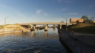
174. Tybee Channel Central
Где: Under the bridge over the canal connecting Belville and Waning Sands
-
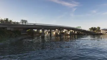
175. Tybee Channel Mouth East
Где: Under the bridge over the canal connecting Belville and Waning Sands
-
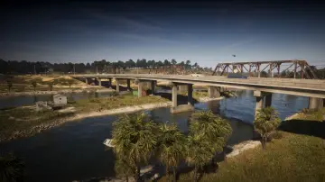
176. Tybee Channel North
Где: Under the bridge over the canal connecting Belville and Waning Sands
-
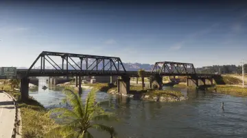
177. Tybee Channel Railroad North
Где: Under the bridge over the canal connecting Belville and Waning Sands
-
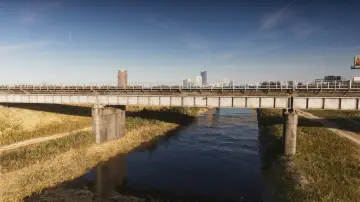
178. Tybee Channel Railroad South
Где: Under the bridge over the canal connecting Belville and Waning Sands
-
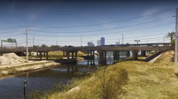
179. Tybee Channel South
Где: Under the bridge over the canal connecting Belville and Waning Sands
-
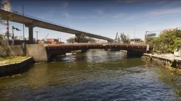
180. Vice River North
Где: Under the bridge over the canal connecting Balsero and Rockridge
-
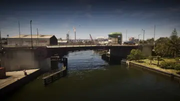
181. Vice River South
Где: Under the bridge over the canal connecting Salton and Little Cuba
-
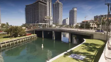
182. Vineyard Drive East
Где: Under the bridge over the canal connecting east and west Vineyard Dr between Washington Island and Washington Beach
-
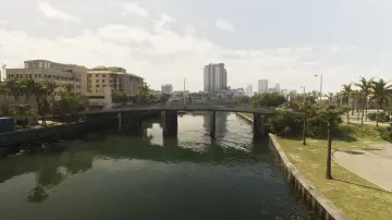
183. Vineyard Drive West
Где: Under the bridge over the river connecting Penmarch Isle and Washington Island
-
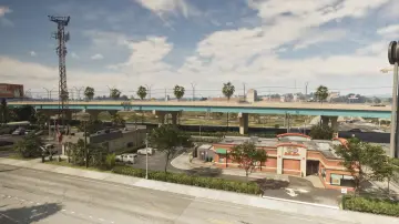
184. Waning Sands Central
Где: Under the bridge over US-70 connecting north and south I-97 in Waning Sands
-
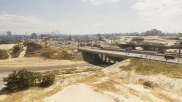
185. Waning Sands Overpass
Где: Under the bridge over Flamingo Pkwy connecting north and south I-97
-
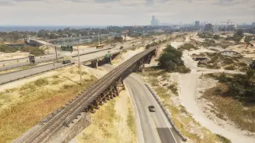
186. Waning Sands Railroad
Где: Under the bridge over the Flamingo Pkwy connecting the north and south side of the railroad
-
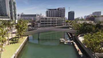
187. Washington Beach Footbridge
Где: Under the bridge over the canal connecting Washington Beach and Oldby Island
-
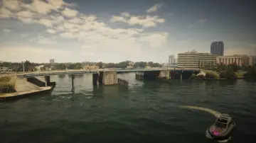
188. Washington Beach West
Где: Under the bridge over the water connecting Penmarch Isle and Bayside
-
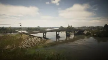
189. Watson Bay
Где: Under the bridge over the Pelican River connecting Watson Bay and the Paradise RV Park
-
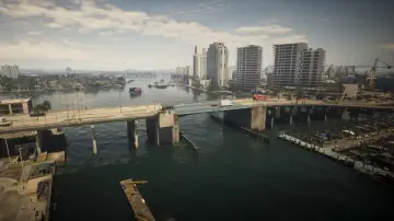
190. Waxman Island East
Где: Under the bridge over the water connecting Waxman Island and Ocean Beach
-
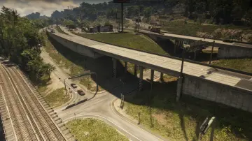
191. West Kalaga Overpass North
Где: Under the bridge over the road connecting Forest Mill Rd and Rockledge Rd in Mount Kalaga National Park
-
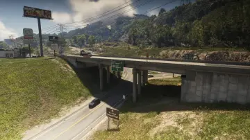
192. West Kalaga Overpass South
Где: Under the bridge over the road connecting Forest Mill Rd and Rockledge Rd in Mount Kalaga National Park
-
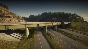
193. West Kalaga Overpass West
Где: Under the bridge over US-628 connecting US-628 and SR-73 in Mount Kalaga National Park
-
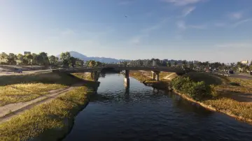
194. West Mall Drive
Где: Under the bridge over the canal connecting Belville and Waning Sands near the mall
-
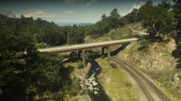
195. West Moreau Overpass
Где: Under the bridge over the railroad connecting north and south Rockledge Rd in Moreau
-
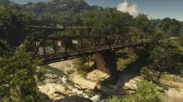
196. West Moreau Railroad North
Где: Under the bridge over the river connecting the north and south railroad in Moreau
-
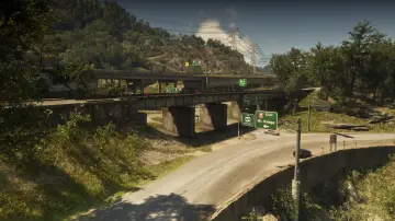
197. West Moreau Railroad South
Где: Under the bridge over the road connecting Forest Mill Rd and Rockledge Rd in Moreau
-
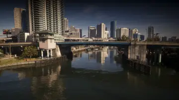
198. West Royale Street
Где: Under the bridge over the canal connecting Salton and Little Cuba
-
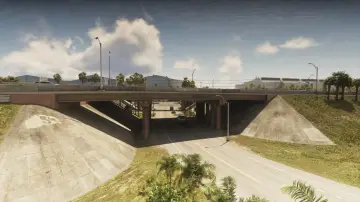
199. West Vice-Dale County North
Где: Under the bridge over the ramp for I-404 connecting east and west I-404 in West Vice-Dale County
-
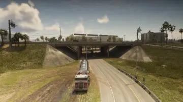
200. West Vice-Dale County Northeast
Где: Under the bridge over the ramp for I-404 connecting east and west I-404 in West Vice-Dale County
-
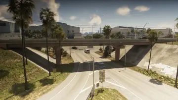
201. West Vice-Dale County South
Где: Under the bridge over the ramp for I-404 connecting east and west I-404 in West Vice-Dale County
-
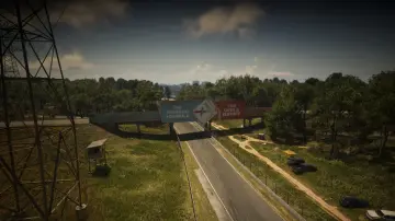
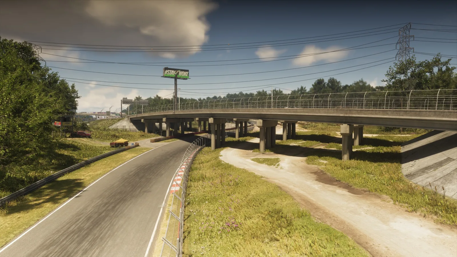
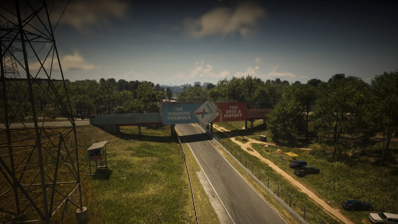
202. Xero Billboard
Где: Under the bridge over the racetrack connecting two service roads together
По вашему запросу ничего нет.
Другие списки с карты
Позиции, тексты и фото взяты из неофициальных данных сообщества и могут содержать ошибки. Основа карты: официальная карта Leonida © Rockstar Games.